Barn Plantation
Wood, Forest in Norfolk Broadland
England
Barn Plantation
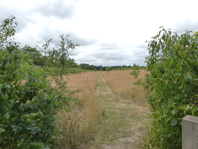
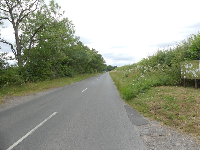
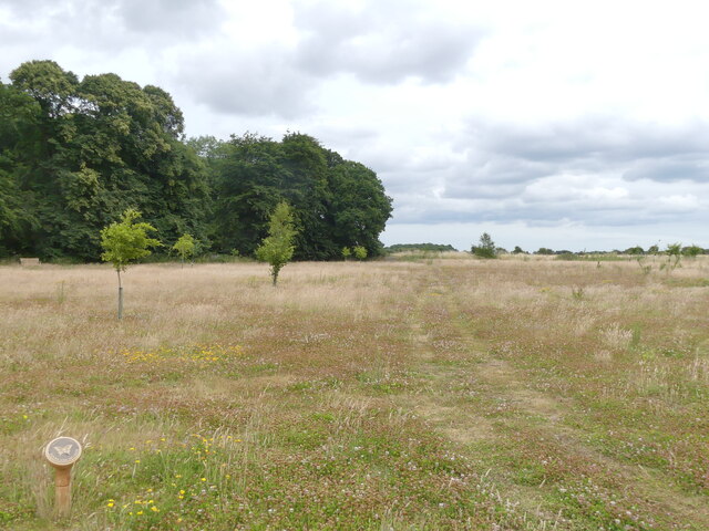
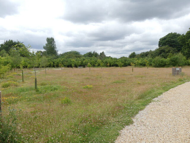
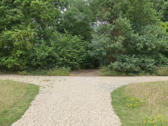
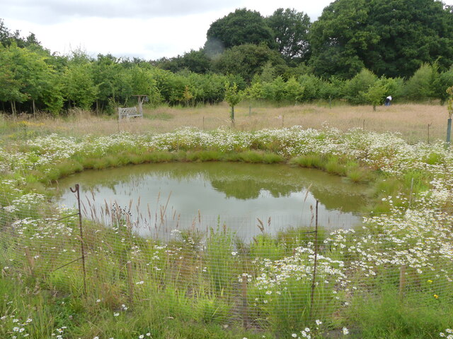
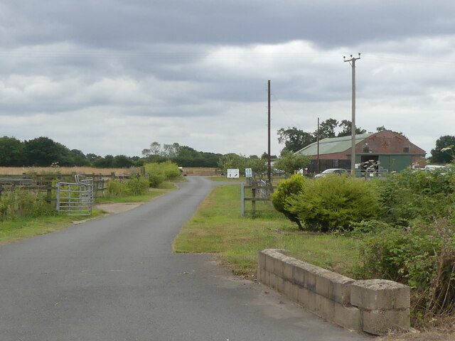
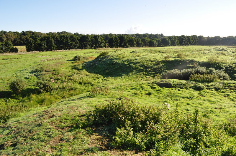
Barn Plantation, located in Norfolk, is a picturesque woodland area that encompasses a vast expanse of natural beauty. This plantation is renowned for its dense woodlands, tranquil forests, and diverse flora and fauna. Spanning across acres of land, Barn Plantation offers visitors a serene escape into nature.
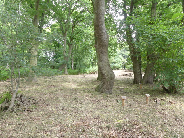
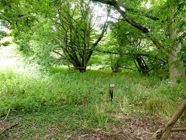
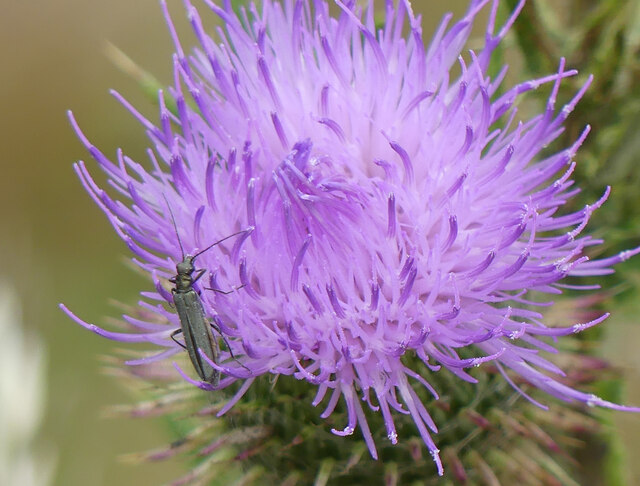
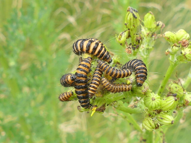
The woodlands of Barn Plantation are characterized by tall, majestic trees that create a canopy overhead, providing shade and a sense of seclusion. The forest floor is covered with a thick carpet of moss and fallen leaves, adding to the enchanting ambiance. The plantation is home to a wide variety of tree species, including oak, beech, ash, and pine, which contribute to the rich biodiversity found within.
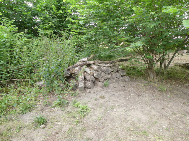
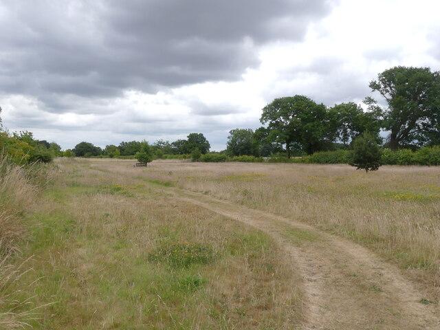
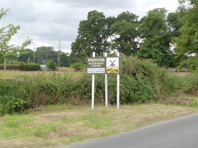
Visitors to Barn Plantation can explore the numerous walking trails that wind their way through the woodland, allowing for an up-close experience with nature. The trails are well-maintained and offer opportunities for birdwatching and wildlife spotting. The plantation is home to several species of birds, such as woodpeckers, owls, and warblers, as well as various small mammals, including rabbits, squirrels, and foxes.
Barn Plantation is a popular destination for nature enthusiasts, hikers, and photographers, who are drawn to its natural beauty and tranquility. The plantation also serves as an important habitat for wildlife, providing a sanctuary for many species. Whether one seeks solitude or an immersive experience in nature, Barn Plantation is a place that offers an escape from the hustle and bustle of everyday life.
If you have any feedback on the listing, please let us know in the comments section below.
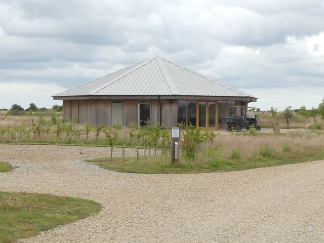
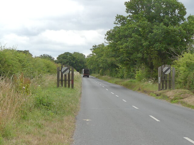
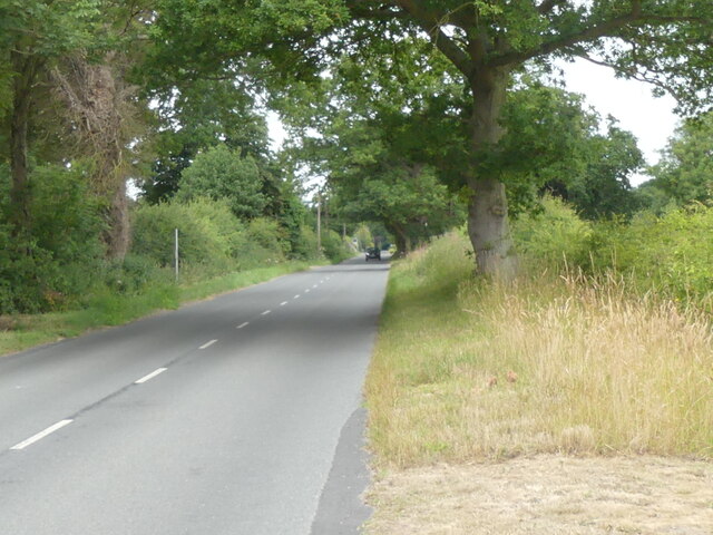
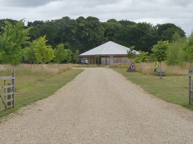
Barn Plantation Images
Images are sourced within 2km of 52.717206/1.2750668 or Grid Reference TG2118. Thanks to Geograph Open Source API. All images are credited.
Barn Plantation is located at Grid Ref: TG2118 (Lat: 52.717206, Lng: 1.2750668)
Administrative County: Norfolk
District: Broadland
Police Authority: Norfolk
What 3 Words
///city.racetrack.broth. Near Horsford, Norfolk
Nearby Locations
Related Wikis

Hainford
Hainford (originally Haynford) is a village and civil parish in the English county of Norfolk. It covers an area of 6.94 km2 (2.68 sq mi) and had a population...

Stratton Strawless
Stratton Strawless is a village in the county of Norfolk and district of Broadland. The civil parish covers 714 acres (289 ha) and has a population of...

St Faith's and Aylsham Rural District
St Faith's and Aylsham Rural Districts were adjacent rural districts in Norfolk, England from 1894 to 1935.They were formed under the Local Government...
Horsford Castle
Horsford Castle is situated in the village of Horsford, 6 miles to the north of the city of Norwich. == Details == Before the Norman conquest of England...
Nearby Amenities
Located within 500m of 52.717206,1.2750668Have you been to Barn Plantation?
Leave your review of Barn Plantation below (or comments, questions and feedback).