Long Grove
Wood, Forest in Essex Tendring
England
Long Grove
Long Grove is a charming village located in the county of Essex, England. Nestled within the picturesque Epping Forest, the village is known for its beautiful woodlands and serene atmosphere. With a population of around 1,500 residents, Long Grove offers a close-knit community feel, making it an ideal place to live for those seeking a peaceful countryside lifestyle.
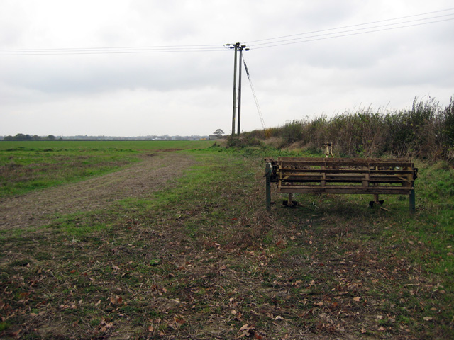
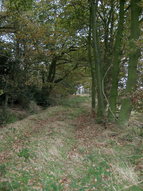
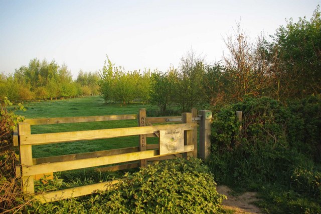
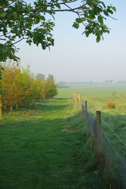
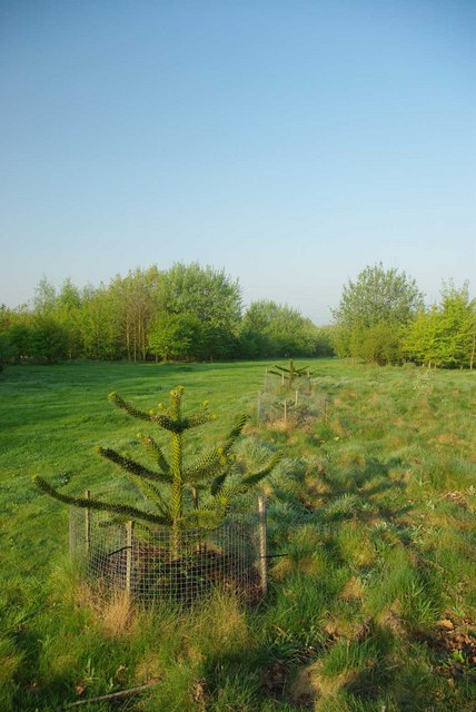
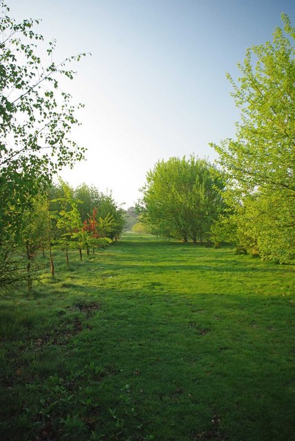
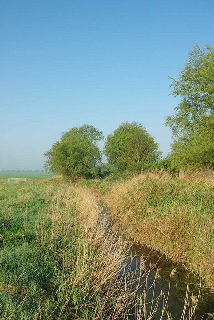
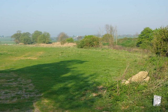
The village is surrounded by dense forests, providing ample opportunities for outdoor activities and nature exploration. The woodlands of Long Grove are home to a diverse range of flora and fauna, attracting nature enthusiasts and wildlife photographers alike. Popular species spotted in the area include deer, foxes, and various bird species.
Long Grove is proud of its rich history, with evidence of human settlement dating back to the medieval period. The village features several historic buildings, such as St. Mary's Church, which dates back to the 13th century, and a number of traditional thatched-roof cottages that add to the village's charm.
Although Long Grove is a rural village, it is well-connected to nearby towns and cities. The village is in close proximity to the town of Epping, where residents can find a range of amenities including shops, schools, and healthcare facilities. Additionally, London is easily accessible by train, with a journey time of approximately 40 minutes to Liverpool Street Station.
In conclusion, Long Grove, Essex, is a tranquil village nestled within the scenic Epping Forest. With its stunning woodlands, rich history, and close-knit community, it offers a peaceful countryside lifestyle while maintaining convenient connections to nearby towns and London.
If you have any feedback on the listing, please let us know in the comments section below.
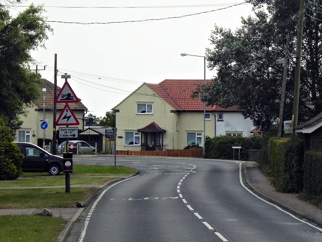
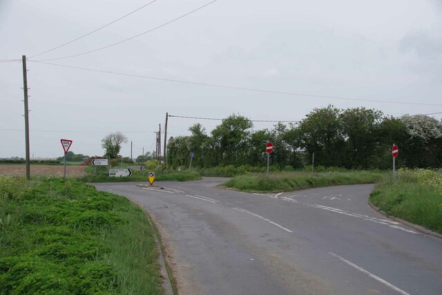
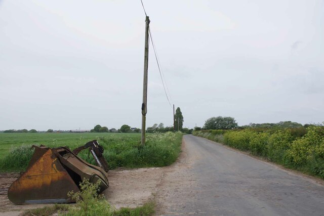
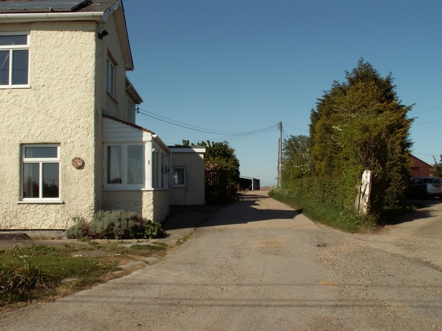
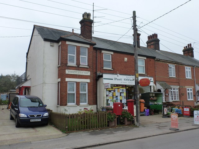
Long Grove Images
Images are sourced within 2km of 51.849806/1.2110466 or Grid Reference TM2121. Thanks to Geograph Open Source API. All images are credited.


Long Grove is located at Grid Ref: TM2121 (Lat: 51.849806, Lng: 1.2110466)
Administrative County: Essex
District: Tendring
Police Authority: Essex
What 3 Words
///tailwind.congratulations.empire. Near Thorpe le Soken, Essex
Nearby Locations
Related Wikis
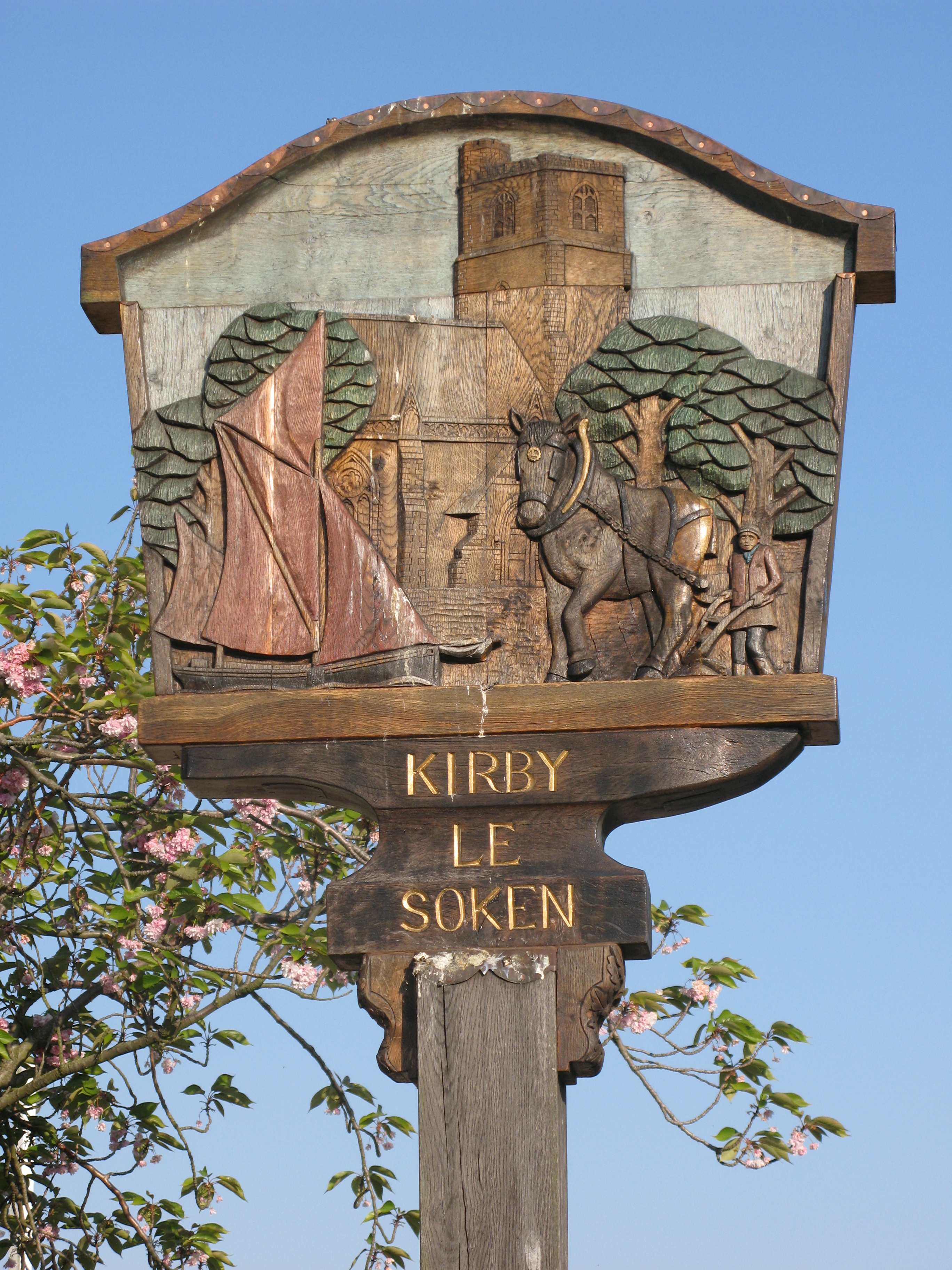
Kirby-le-Soken
Kirby-le-Soken is a village and former civil parish, now in the parish of Frinton and Walton, in the Tendring district of North East Essex, England, which...

Kirby Cross railway station
Kirby Cross railway station is on the Walton branch of the Sunshine Coast Line in the East of England, serving the village of Kirby Cross, Essex. It is...

Kirby Cross
Kirby Cross is a village in Tendring district, Essex, England. It is situated near to Kirby-le-Soken and Frinton-on-Sea. Historically, Kirby Cross was...

The Sokens
The Sokens is a name often used to describe the area containing the traditional parishes of Thorpe, Kirby and Walton, which now lie in Tendring district...
Nearby Amenities
Located within 500m of 51.849806,1.2110466Have you been to Long Grove?
Leave your review of Long Grove below (or comments, questions and feedback).