West Belt
Wood, Forest in Suffolk Babergh
England
West Belt
West Belt, Suffolk, also known as Wood or Forest, is a small village located in the county of Suffolk, England. Situated in the eastern part of the country, West Belt is surrounded by picturesque landscapes and tranquil surroundings, making it an ideal destination for nature lovers and those seeking a peaceful retreat.
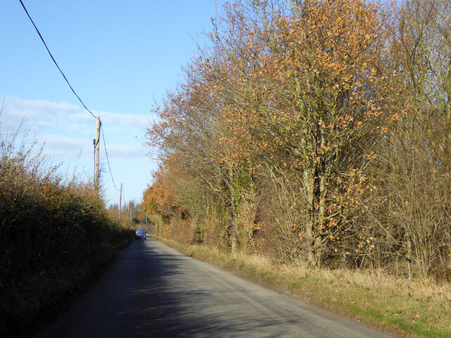
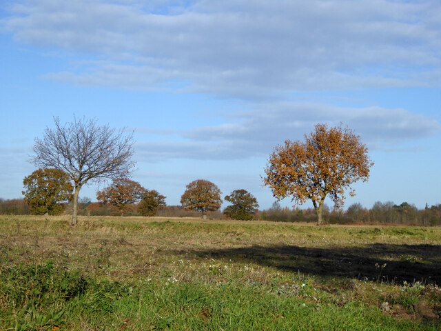
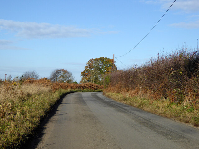
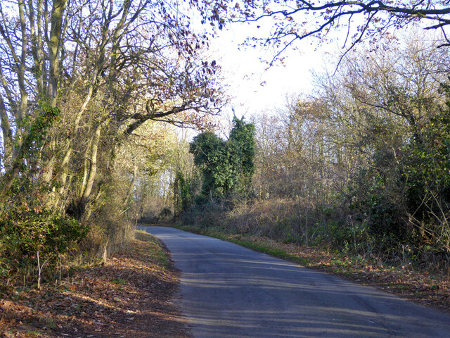
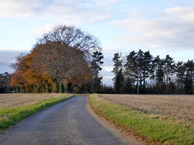
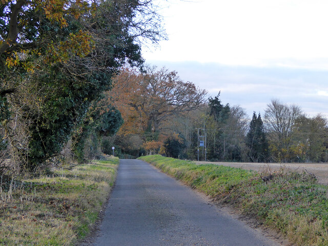
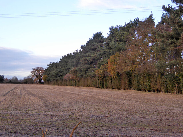
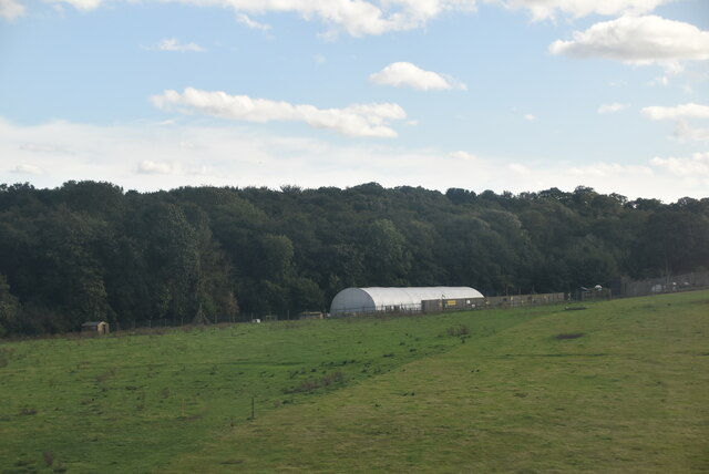
The village is characterized by its dense woodland, which covers a significant portion of the area. The forest in West Belt is home to a diverse range of flora and fauna, including a variety of tree species such as oak, beech, and pine. The woodlands provide ample opportunities for outdoor activities such as hiking, birdwatching, and nature photography.
In addition to its natural beauty, West Belt also boasts a close-knit community that takes pride in preserving its heritage and traditions. The village is dotted with charming cottages and historic buildings, which add to its quaint and traditional atmosphere. The local residents are known for their friendliness and hospitality, making visitors feel welcome and at home.
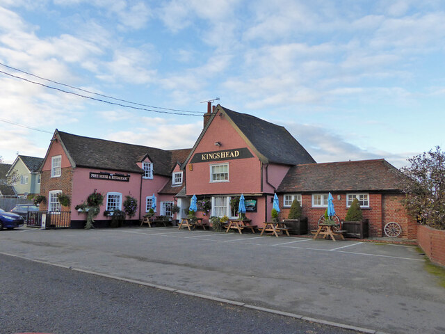
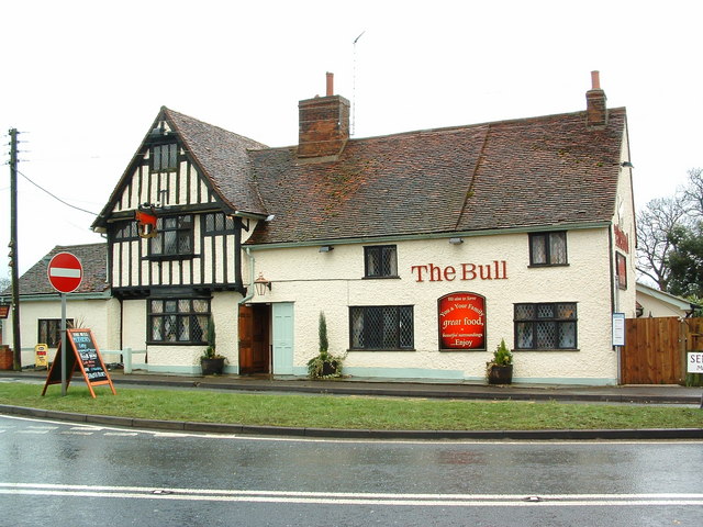
Despite its small size, West Belt offers a range of amenities for its residents and visitors. The village has a local pub, where locals gather to socialize and enjoy a pint of ale. There is also a village hall that hosts community events and activities throughout the year, fostering a sense of community spirit.
Overall, West Belt, Suffolk (Wood, Forest) is a hidden gem that offers a unique blend of natural beauty, rich heritage, and a warm community spirit. It is a place where one can escape the hustle and bustle of modern life and immerse oneself in the tranquility of the countryside.
If you have any feedback on the listing, please let us know in the comments section below.
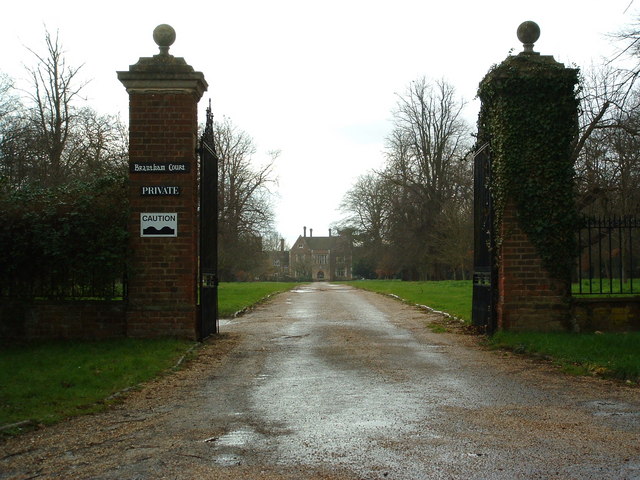
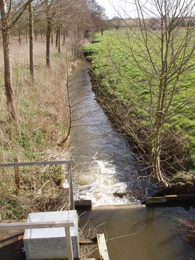
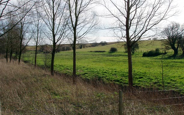
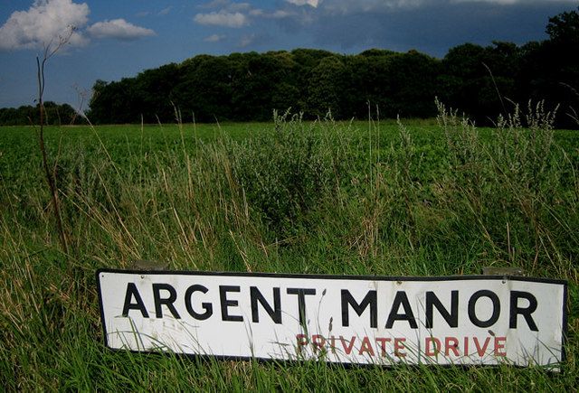
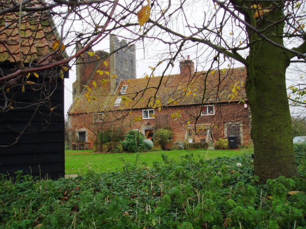
West Belt Images
Images are sourced within 2km of 51.965667/1.1123966 or Grid Reference TM1334. Thanks to Geograph Open Source API. All images are credited.


West Belt is located at Grid Ref: TM1334 (Lat: 51.965667, Lng: 1.1123966)
Administrative County: Suffolk
District: Babergh
Police Authority: Suffolk
What 3 Words
///codes.slimming.videos. Near Mistley, Essex
Nearby Locations
Related Wikis

Stutton, Suffolk
Stutton is a small village and a civil parish approximately seven miles south of Ipswich in Suffolk, United Kingdom, on the Shotley peninsula. The village...
Tattingstone Wonder
The Tattingstone Wonder is a folly at Tattingstone in Suffolk, England. Located some 6 miles (9.7 km) south of Ipswich the Tattingstone Wonder was originally...

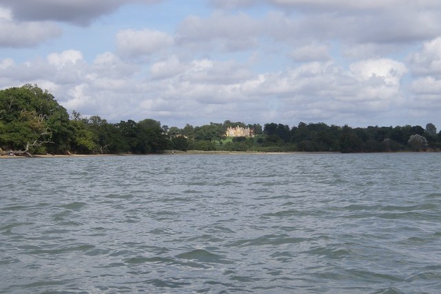
Alton Water
Alton Water (or Alton Reservoir) is a manmade reservoir located on the Shotley peninsula. It is the largest in Suffolk, with a perimeter of over 8 miles...

Royal Hospital School
The Royal Hospital School (usually shortened as "RHS" and historically nicknamed "The Cradle of the Navy") is a British co-educational fee-charging boarding...

Tattingstone
Tattingstone is a village and civil parish in Suffolk, England. It is situated on the Shotley peninsula, about 5 miles (8 km) south of Ipswich. The 2011...

Bradfield railway station
Bradfield railway station served the village of Bradfield in Essex. It was on the Manningtree to Harwich branch line, which is today known as The Mayflower...

Mistley
Mistley is a village and civil parish in the Tendring district of northeast Essex, England. It is around 11 miles northeast of Colchester and is east of...

Mistley railway station
Mistley railway station is on the Mayflower Line, a branch of the Great Eastern Main Line in the East of England, serving the village of Mistley, Essex...
Related Videos
What is under Alton water
What is under there, its massive so there should be something cool right?


Alton Water - Suffolk
A quick evening tour of Alton Water in Suffolk #drone #dronevideo #dronephotography.
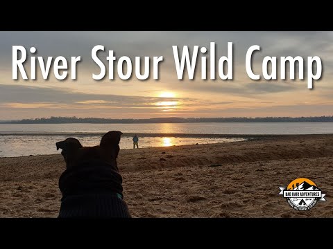
Wild camp on the River Stour, Suffolk 28/12/19 #wildcamp #youtubermeetup
Just a short video recapping our recent mad capped adventure, getting lost, bushwhacking, jumping ditches, and finally reaching ...
Nearby Amenities
Located within 500m of 51.965667,1.1123966Have you been to West Belt?
Leave your review of West Belt below (or comments, questions and feedback).