Holly Wood
Wood, Forest in Suffolk Babergh
England
Holly Wood
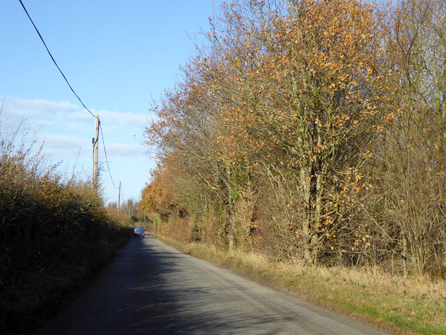
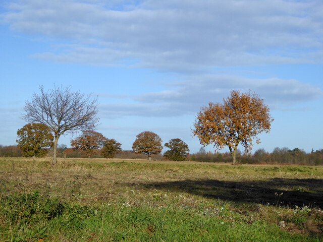
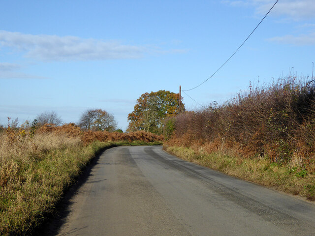
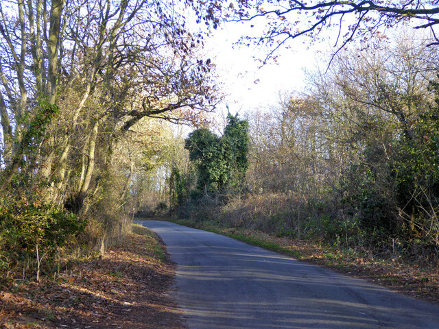
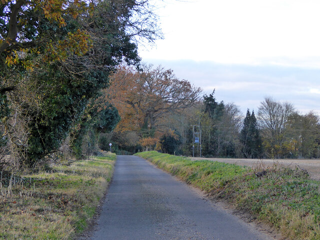
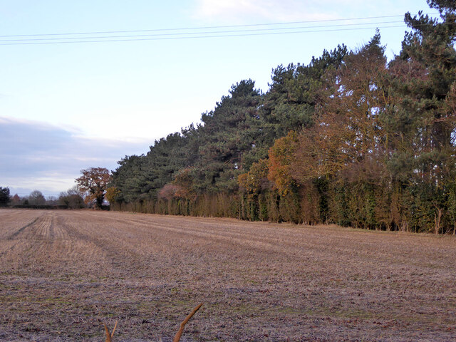
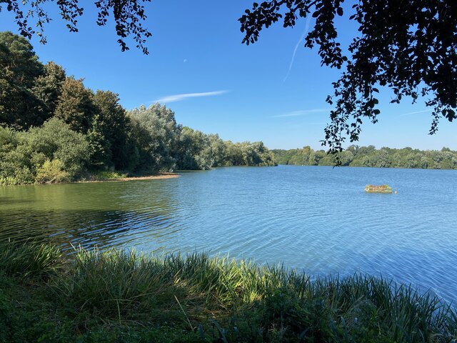
Holly Wood is a picturesque and enchanting forest located in the county of Suffolk, England. Spanning over a vast area of land, this woodland is a haven for nature lovers and outdoor enthusiasts seeking tranquility and natural beauty.
The woodland gets its name from the abundance of holly trees that can be found throughout the area. These trees, with their vibrant green leaves and bright red berries, add a touch of color and magic to the landscape. Holly Wood is known for its dense and diverse vegetation, which includes not only holly trees but also oak, beech, and birch trees, creating a rich and varied ecosystem.
The forest is home to a wide array of wildlife, making it a popular destination for birdwatchers and animal enthusiasts. Visitors may be lucky enough to spot species such as deer, foxes, and a variety of birds, including woodpeckers and owls.
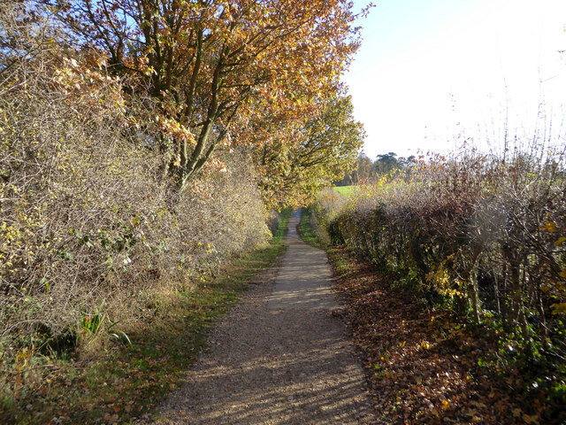
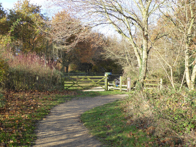
Holly Wood offers a network of well-maintained walking paths and trails, allowing visitors to explore the forest at their own pace. These paths wind their way through the trees, offering glimpses of hidden glades, babbling brooks, and peaceful ponds. The forest is a perfect place to enjoy a leisurely stroll or a more challenging hike, immersing oneself in the natural surroundings.
Throughout the year, Holly Wood hosts various events and activities, such as guided nature walks, educational programs, and seasonal celebrations. These initiatives aim to raise awareness about the importance of preserving and protecting this precious woodland ecosystem.
In summary, Holly Wood, Suffolk is a stunning forest that offers a peaceful escape into nature. With its diverse vegetation, abundant wildlife, and well-maintained trails, it is a must-visit destination for anyone seeking a tranquil and immersive woodland experience.
If you have any feedback on the listing, please let us know in the comments section below.
Holly Wood Images
Images are sourced within 2km of 51.969378/1.1132217 or Grid Reference TM1334. Thanks to Geograph Open Source API. All images are credited.


Holly Wood is located at Grid Ref: TM1334 (Lat: 51.969378, Lng: 1.1132217)
Administrative County: Suffolk
District: Babergh
Police Authority: Suffolk
What 3 Words
///shrug.possibly.breed. Near Holbrook, Suffolk
Nearby Locations
Related Wikis

Stutton, Suffolk
Stutton is a small village and a civil parish approximately seven miles south of Ipswich in Suffolk, United Kingdom, on the Shotley peninsula. The village...
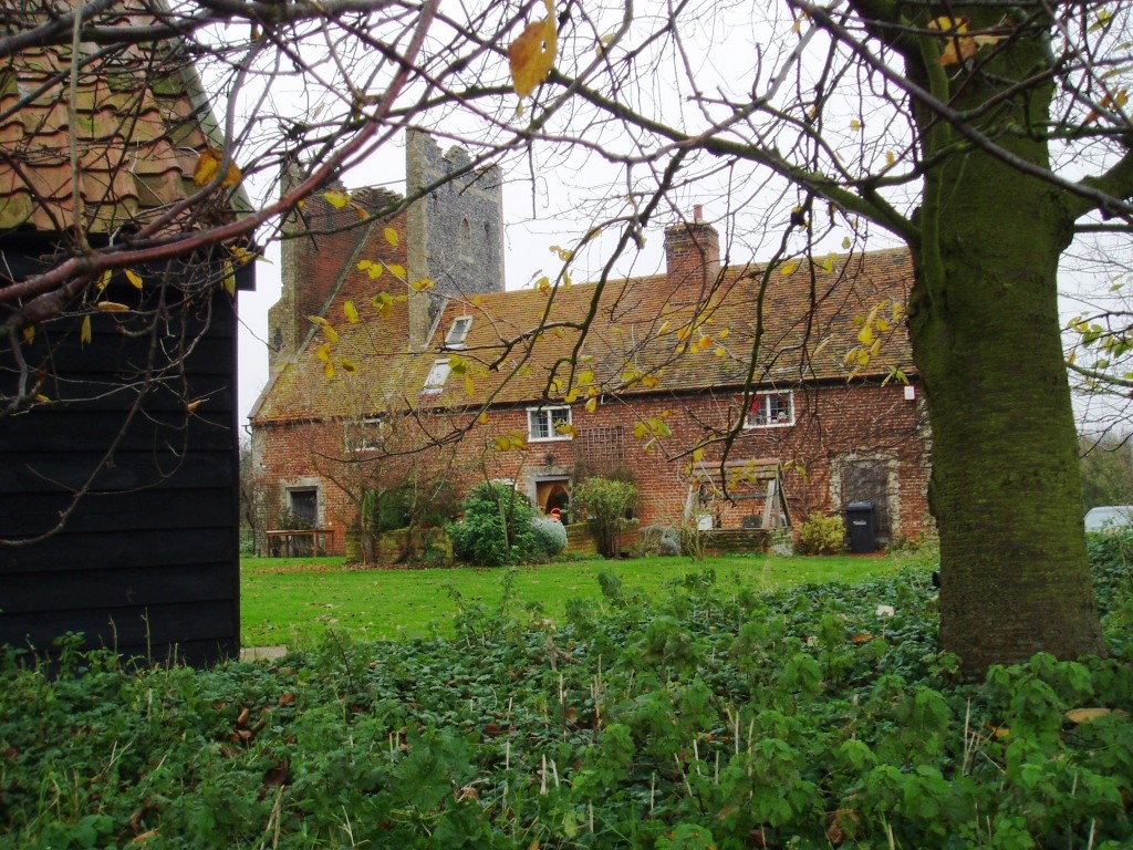
Tattingstone Wonder
The Tattingstone Wonder is a folly at Tattingstone in Suffolk, England. Located some 6 miles (9.7 km) south of Ipswich the Tattingstone Wonder was originally...

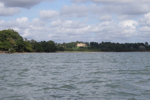
Alton Water
Alton Water (or Alton Reservoir) is a manmade reservoir located on the Shotley peninsula. It is the largest in Suffolk, with a perimeter of over 8 miles...

Tattingstone
Tattingstone is a village and civil parish in Suffolk, England. It is situated on the Shotley peninsula, about 5 miles (8 km) south of Ipswich. The 2011...

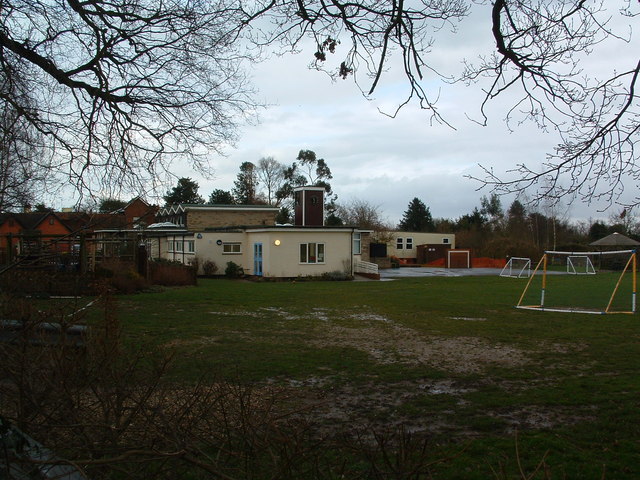
Royal Hospital School
The Royal Hospital School (usually shortened as "RHS" and historically nicknamed "The Cradle of the Navy") is a British co-educational fee-charging boarding...

Bentley railway station (Suffolk)
Bentley railway station, also known as Bentley Junction between 1849 and 1878, was located in Bentley, Suffolk on the Great Eastern Main Line. It opened...

Bradfield railway station
Bradfield railway station served the village of Bradfield in Essex. It was on the Manningtree to Harwich branch line, which is today known as The Mayflower...
Blackbourn Hundred
Blackbourn was a hundred of Suffolk, consisting of 66,272 acres (26,819 ha). Blackbourn hundred was situated in the north-west of Suffolk. Its northern...
Nearby Amenities
Located within 500m of 51.969378,1.1132217Have you been to Holly Wood?
Leave your review of Holly Wood below (or comments, questions and feedback).