Wolves Wood

Wood, Forest in Suffolk Babergh

England

Wolves Wood

Bentley Lane From Stutton towards Bentley.
Bentley Lane Credit: Robin Webster

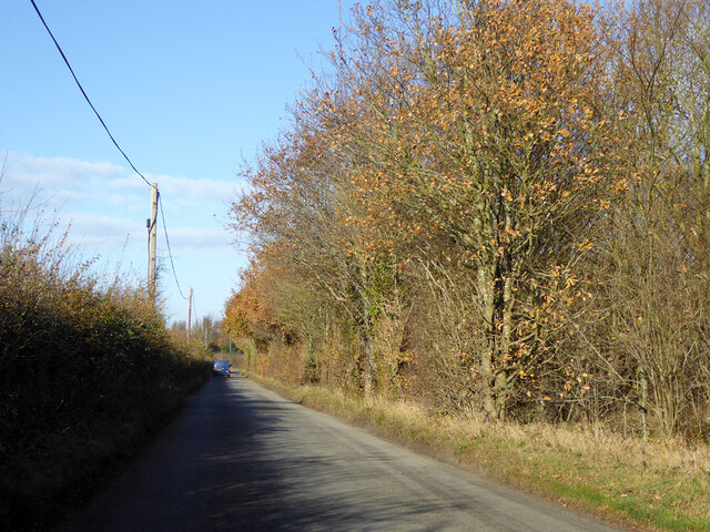
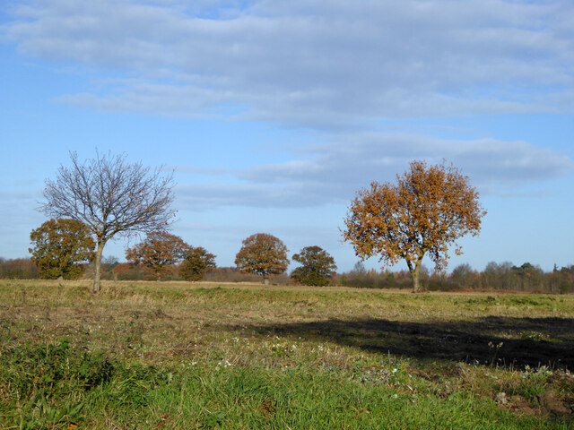
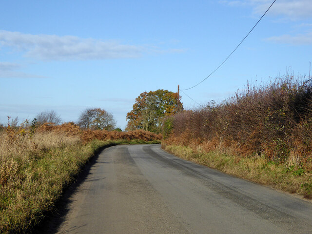
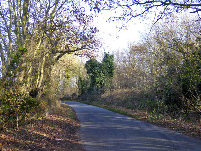
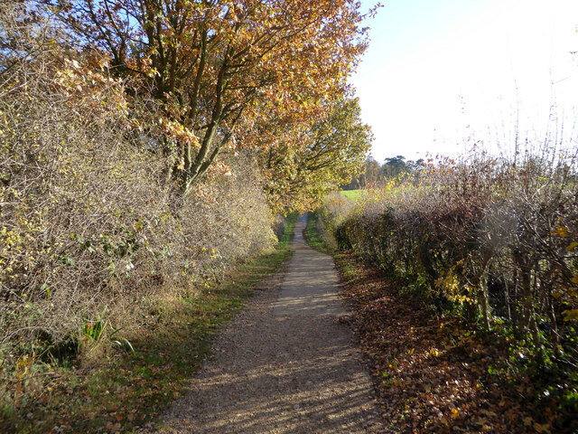
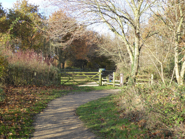
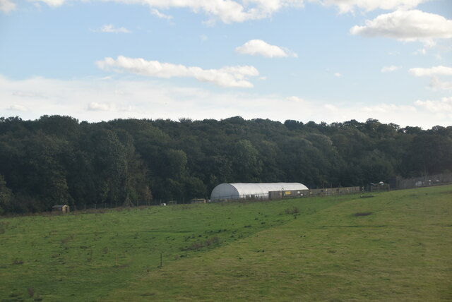
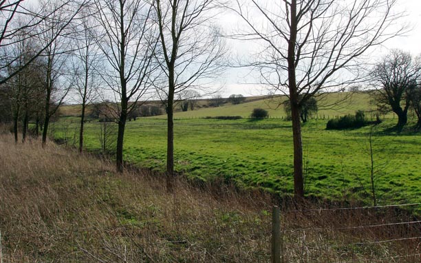
Wolves Wood, located in Suffolk, England, is a picturesque woodland area known for its natural beauty and rich biodiversity. Covering an area of approximately 100 hectares, it is often referred to as a forest due to its dense vegetation and variety of tree species.

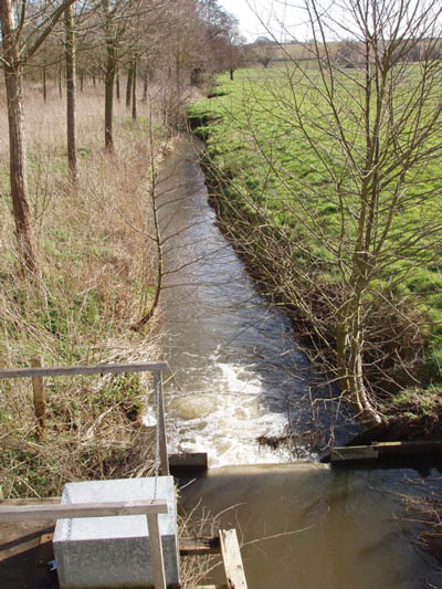
The wood is predominantly comprised of broadleaf trees such as oak, ash, and beech, offering a haven for many woodland animals and birds. The tranquil atmosphere is enhanced by the presence of a small stream that meanders through the wood, adding to the charm and serenity of the surroundings.

Wolves Wood is home to a diverse range of wildlife, including several species of mammals, reptiles, and birds. It provides a vital habitat for animals such as deer, foxes, badgers, and squirrels, which can be spotted roaming freely throughout the wood. Bird enthusiasts can delight in observing various species, including owls, woodpeckers, and thrushes, among others.

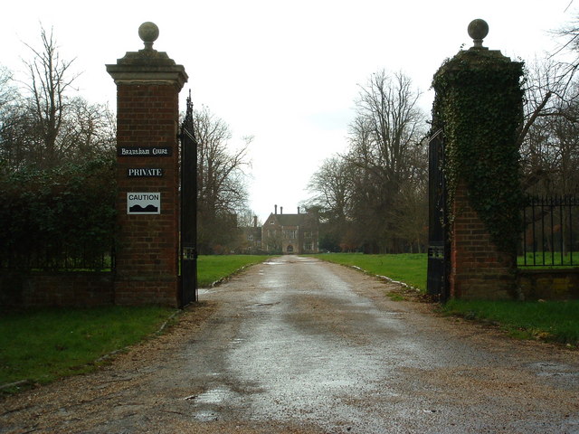
The wood is a popular destination for nature lovers, walkers, and photographers, who appreciate the tranquility and natural wonders it has to offer. There are numerous walking trails that wind through the wood, allowing visitors to explore its hidden gems and enjoy the beauty of the surroundings.

Managed by a local conservation organization, Wolves Wood is protected and preserved to maintain its unique ecosystem and provide an important habitat for the local wildlife. The organization also organizes educational events and guided walks to raise awareness about the importance of woodland conservation and the diverse species that call Wolves Wood their home.

If you have any feedback on the listing, please let us know in the comments section below.

Wolves Wood Images

Images are sourced within 2km of 51.969416/1.1090598 or Grid Reference TM1334. Thanks to Geograph Open Source API. All images are credited.

Bentley Lane From Stutton towards Bentley.
Bentley Lane
From Stutton towards Bentley.
Trees on drive to Argent Manor
Bentley Lane From Stutton towards Bentley.
Bentley Lane
From Stutton towards Bentley.
Lane towards Tattingstone
Cycle path around Alton Water Over this part rather removed from watery views.
Cycle path around Alton Water
Over this part rather removed from watery views.
Cycle path around Alton Water A car park is ahead.
Cycle path around Alton Water
A car park is ahead.
The Tattingstone Wonder The local squire decided he didn't like the look of some cottages when viewed from his seat, so had built a sham church to disguise them. The tower has only three sides, and the trick is revealed when viewed from the other side. The churchification dates from about 1790, a grade II*(star) listed building.
The Tattingstone Wonder
The local squire decided he didn't like the look of some cottages when viewed from his seat, so had built a sham church to disguise them. The tower has only three sides, and the trick is revealed when viewed from the other side. The churchification dates from about 1790, a grade II*(star) listed building.
Churchfield Road, Stutton From Stutton Green to Lower Street.
Churchfield Road, Stutton
From Stutton Green to Lower Street.
The Kings Head, Stutton A grade II listed building, 16th century or earlier with later alterations and additions.
The Kings Head, Stutton
A grade II listed building, 16th century or earlier with later alterations and additions.
Lower Meadows Farm
Lower Meadows Farm
Maritime woodland at Stutton in Suffolk On the north side of the Stour estuary ancient trees overhang salt water
Maritime woodland at Stutton in Suffolk
On the north side of the Stour estuary ancient trees overhang salt water
Stutton Primary School Stutton C.E.V.C. primary school Stutton Suffolk on a very wet day.
Stutton Primary School
Stutton C.E.V.C. primary school Stutton Suffolk on a very wet day.
Kings Head Stutton Kings Head public house Stutton Suffolk.
Kings Head Stutton
Kings Head public house Stutton Suffolk.
The Bull The Bull public house Brantham suffolk.
The Bull
The Bull public house Brantham suffolk.
Brantham Court Brantham Court Brantham Suffolk.
Brantham Court
Brantham Court Brantham Suffolk.
Stream and weir from Brantham Bridge on the A137 Showing the stream in full flow after a long spell of wet weather
Stream and weir from Brantham Bridge on the A137
Showing the stream in full flow after a long spell of wet weather
Willow plantation and fields near Brantham Bridge
Bird hide on the shores of Alton Water in Larch Wood One of the many facilities around Alton Water (reservoir), you can watch birds from two hides on the south shore in Larch Wood. Park (with permit) opposite Tattingstone Wonder and walk or cycle in.  There are special "islands" to attract terns and there are feeders to bring in small woodland birds
Bird hide on the shores of Alton Water in Larch Wood
One of the many facilities around Alton Water (reservoir), you can watch birds from two hides on the south shore in Larch Wood. Park (with permit) opposite Tattingstone Wonder and walk or cycle in. There are special "islands" to attract terns and there are feeders to bring in small woodland birds
Show me another place!

Wolves Wood is located at Grid Ref: TM1334 (Lat: 51.969416, Lng: 1.1090598)

Administrative County: Suffolk

District: Babergh

Police Authority: Suffolk

What 3 Words

///nozzle.broadcast.comb. Near Mistley, Essex

Related Wikis

Stutton, Suffolk

Stutton is a small village and a civil parish approximately seven miles south of Ipswich in Suffolk, United Kingdom, on the Shotley peninsula. The village...

Tattingstone Wonder

The Tattingstone Wonder is a folly at Tattingstone in Suffolk, England. Located some 6 miles (9.7 km) south of Ipswich the Tattingstone Wonder was originally...

Alton Water

Alton Water (or Alton Reservoir) is a manmade reservoir located on the Shotley peninsula. It is the largest in Suffolk, with a perimeter of over 8 miles...

Tattingstone

Tattingstone is a village and civil parish in Suffolk, England. It is situated on the Shotley peninsula, about 5 miles (8 km) south of Ipswich. The 2011...

Bentley railway station (Suffolk)

Bentley railway station, also known as Bentley Junction between 1849 and 1878, was located in Bentley, Suffolk on the Great Eastern Main Line. It opened...

Royal Hospital School

The Royal Hospital School (usually shortened as "RHS" and historically nicknamed "The Cradle of the Navy") is a British co-educational fee-charging boarding...

Brantham

Brantham is a village and civil parish in the Babergh district of Suffolk, England. It is located close to the River Stour and the border with Essex, around...

Bradfield railway station

Bradfield railway station served the village of Bradfield in Essex. It was on the Manningtree to Harwich branch line, which is today known as The Mayflower...

Nearby Amenities

Located within 500m of 51.969416,1.1090598
Entrance: main
Lat/Long: 51.9681582/1.1141295
Bus Stop
Gardeners Arms
Bus: yes
Naptan AtcoCode: 390010847
Naptan Bearing: W
Naptan CommonName: Gardeners Arms
Naptan Indicator: opp
Naptan Landmark: Gardeners Arms
Naptan NaptanCode: sufjptgp
Naptan Street: Manningtree Road
Naptan Verified: no
Public Transport: platform
Source: naptan_import
Lat/Long: 51.9680809/1.1139811
Bus Stop
Gardeners Arms
Naptan AtcoCode: 390010892
Naptan BusStopType: CUS
Naptan NaptanCode: sufjtpam
Naptan Verified: no
Public Transport: platform
Source: naptan_import
Lat/Long: 51.9681428/1.1136603
Barrier: stile
Lat/Long: 51.9682365/1.1040996
Turning Circle
Lat/Long: 51.9712842/1.1122153
Power: pole
Lat/Long: 51.9684031/1.1156141
Holly Wood
Place: locality
Lat/Long: 51.9691911/1.1131382
Lady Own Wood
Place: locality
Lat/Long: 51.9682789/1.1102199
Alder Carr
Place: locality
Lat/Long: 51.9705097/1.1100215
The data included in this document is from www.openstreetmap.org. The data is made available under ODbL.

Have you been to Wolves Wood?

Leave your review of Wolves Wood below (or comments, questions and feedback).