Lady Owen Wood

Wood, Forest in Suffolk Babergh

England

Lady Owen Wood

Bentley Lane From Stutton towards Bentley.
Bentley Lane Credit: Robin Webster

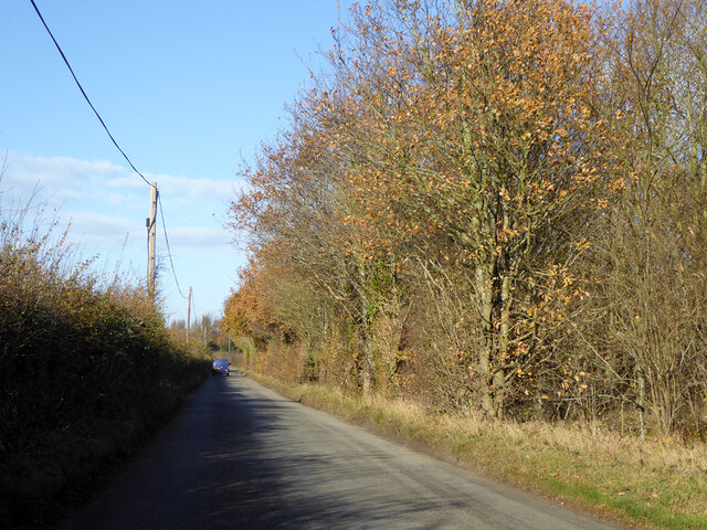
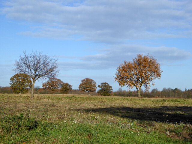
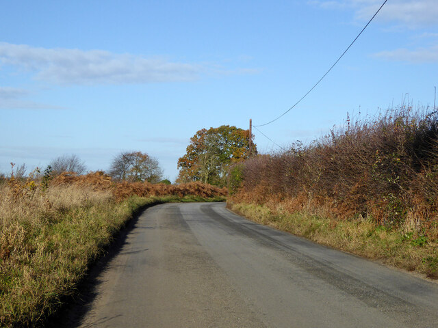
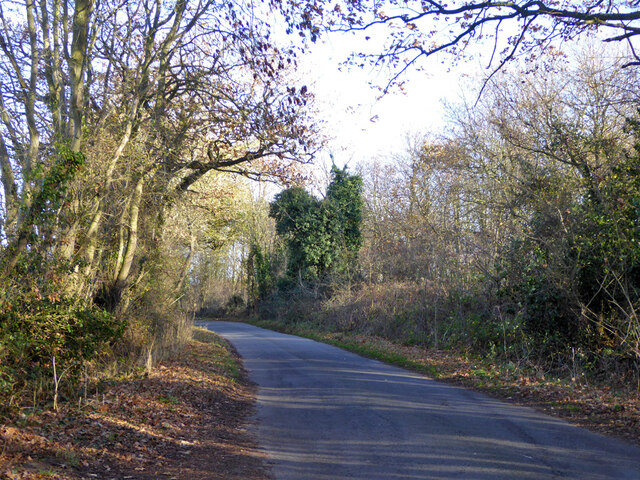
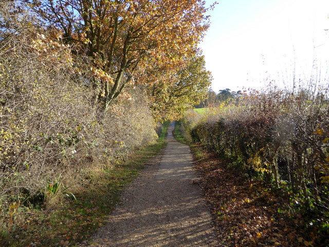
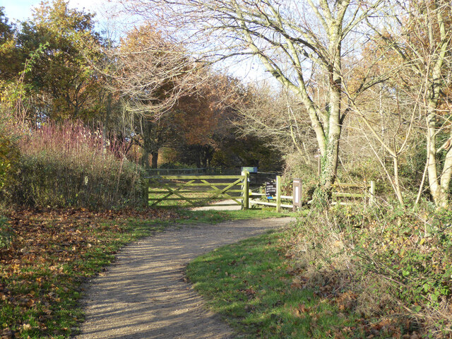
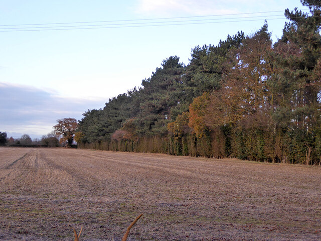
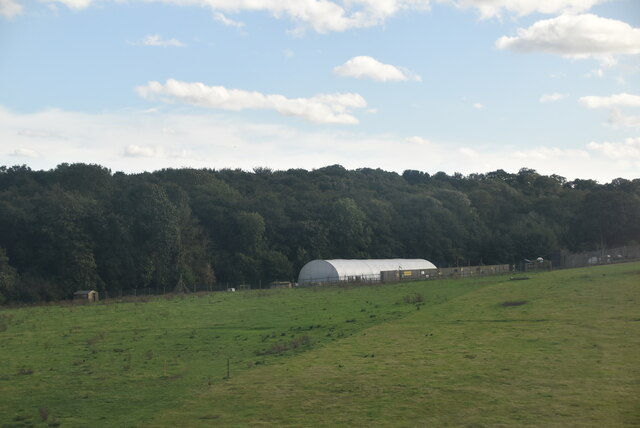
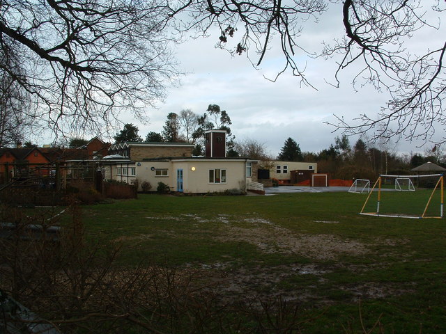
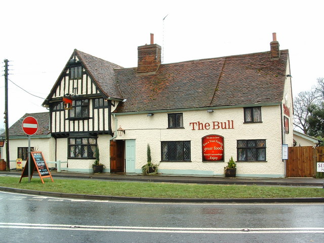
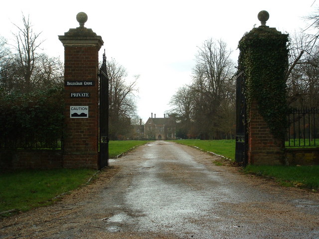
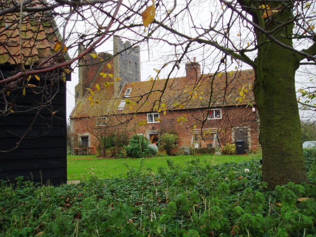
Lady Owen Wood, Suffolk (Wood, Forest) is a picturesque woodland area located in Suffolk, England. Covering an area of approximately 200 acres, it is known for its diverse range of flora and fauna, making it a popular destination for nature enthusiasts and wildlife lovers.

The woodland is characterized by its dense canopy of mature trees, including oak, beech, and birch, providing a habitat for a variety of bird species such as woodpeckers, owls, and songbirds. The forest floor is adorned with a carpet of bluebells during the spring season, creating a stunning visual spectacle.

Lady Owen Wood is also home to several species of mammals, including deer, foxes, and badgers. Visitors may be fortunate enough to catch a glimpse of these elusive creatures as they explore the trails that wind through the forest.

The wood is well-maintained, with designated pathways and picnic areas scattered throughout. These amenities offer visitors the opportunity to relax and enjoy a serene picnic amidst the tranquil surroundings.

In addition to its natural beauty, Lady Owen Wood holds historical significance. The woodland is named after Lady Owen, a prominent figure in Suffolk's history. Her legacy is celebrated through the conservation efforts and preservation of the woodland, ensuring it remains a cherished natural treasure for generations to come.

Overall, Lady Owen Wood, Suffolk (Wood, Forest) is a captivating destination that offers a peaceful escape from the hustle and bustle of everyday life, providing an ideal setting for nature lovers to immerse themselves in the beauty of the Suffolk countryside.

If you have any feedback on the listing, please let us know in the comments section below.

Lady Owen Wood Images

Images are sourced within 2km of 51.968309/1.1104393 or Grid Reference TM1334. Thanks to Geograph Open Source API. All images are credited.

Bentley Lane From Stutton towards Bentley.
Bentley Lane
From Stutton towards Bentley.
Trees on drive to Argent Manor
Bentley Lane From Stutton towards Bentley.
Bentley Lane
From Stutton towards Bentley.
Lane towards Tattingstone
Cycle path around Alton Water Over this part rather removed from watery views.
Cycle path around Alton Water
Over this part rather removed from watery views.
Cycle path around Alton Water A car park is ahead.
Cycle path around Alton Water
A car park is ahead.
The Tattingstone Wonder The local squire decided he didn't like the look of some cottages when viewed from his seat, so had built a sham church to disguise them. The tower has only three sides, and the trick is revealed when viewed from the other side. The churchification dates from about 1790, a grade II*(star) listed building.
The Tattingstone Wonder
The local squire decided he didn't like the look of some cottages when viewed from his seat, so had built a sham church to disguise them. The tower has only three sides, and the trick is revealed when viewed from the other side. The churchification dates from about 1790, a grade II*(star) listed building.
Churchfield Road, Stutton From Stutton Green to Lower Street.
Churchfield Road, Stutton
From Stutton Green to Lower Street.
Shelter belt between fields, Stutton Not of great age, the fields were previously one.
Shelter belt between fields, Stutton
Not of great age, the fields were previously one.
The Kings Head, Stutton A grade II listed building, 16th century or earlier with later alterations and additions.
The Kings Head, Stutton
A grade II listed building, 16th century or earlier with later alterations and additions.
Lower Meadows Farm
Lower Meadows Farm
Alton Water Reservoir An artificial reservoir in South Suffolk, built in the 1960s by Anglian Water.
Alton Water Reservoir
An artificial reservoir in South Suffolk, built in the 1960s by Anglian Water.
Maritime woodland at Stutton in Suffolk On the north side of the Stour estuary ancient trees overhang salt water
Maritime woodland at Stutton in Suffolk
On the north side of the Stour estuary ancient trees overhang salt water
Stutton ness The ancient oaks of Stutton ness dip their boughs in the salty waters of the Stour estuary.
Stutton ness
The ancient oaks of Stutton ness dip their boughs in the salty waters of the Stour estuary.
Stutton Primary School Stutton C.E.V.C. primary school Stutton Suffolk on a very wet day.
Stutton Primary School
Stutton C.E.V.C. primary school Stutton Suffolk on a very wet day.
Kings Head Stutton Kings Head public house Stutton Suffolk.
Kings Head Stutton
Kings Head public house Stutton Suffolk.
The Bull The Bull public house Brantham suffolk.
The Bull
The Bull public house Brantham suffolk.
Brantham Court Brantham Court Brantham Suffolk.
Brantham Court
Brantham Court Brantham Suffolk.
Show me another place!

Lady Owen Wood is located at Grid Ref: TM1334 (Lat: 51.968309, Lng: 1.1104393)

Administrative County: Suffolk

District: Babergh

Police Authority: Suffolk

What 3 Words

///suspended.wing.surviving. Near Mistley, Essex

Related Wikis

Stutton, Suffolk

Stutton is a small village and a civil parish approximately seven miles south of Ipswich in Suffolk, United Kingdom, on the Shotley peninsula. The village...

Tattingstone Wonder

The Tattingstone Wonder is a folly at Tattingstone in Suffolk, England. Located some 6 miles (9.7 km) south of Ipswich the Tattingstone Wonder was originally...

Alton Water

Alton Water (or Alton Reservoir) is a manmade reservoir located on the Shotley peninsula. It is the largest in Suffolk, with a perimeter of over 8 miles...

Tattingstone

Tattingstone is a village and civil parish in Suffolk, England. It is situated on the Shotley peninsula, about 5 miles (8 km) south of Ipswich. The 2011...

Royal Hospital School

The Royal Hospital School (usually shortened as "RHS" and historically nicknamed "The Cradle of the Navy") is a British co-educational fee-charging boarding...

Bentley railway station (Suffolk)

Bentley railway station, also known as Bentley Junction between 1849 and 1878, was located in Bentley, Suffolk on the Great Eastern Main Line. It opened...

Bradfield railway station

Bradfield railway station served the village of Bradfield in Essex. It was on the Manningtree to Harwich branch line, which is today known as The Mayflower...

Brantham

Brantham is a village and civil parish in the Babergh district of Suffolk, England. It is located close to the River Stour and the border with Essex, around...

Nearby Amenities

Located within 500m of 51.968309,1.1104393
Entrance: main
Lat/Long: 51.9681582/1.1141295
Bus Stop
Gardeners Arms
Bus: yes
Naptan AtcoCode: 390010847
Naptan Bearing: W
Naptan CommonName: Gardeners Arms
Naptan Indicator: opp
Naptan Landmark: Gardeners Arms
Naptan NaptanCode: sufjptgp
Naptan Street: Manningtree Road
Naptan Verified: no
Public Transport: platform
Source: naptan_import
Lat/Long: 51.9680809/1.1139811
Bus Stop
Gardeners Arms
Naptan AtcoCode: 390010892
Naptan BusStopType: CUS
Naptan NaptanCode: sufjtpam
Naptan Verified: no
Public Transport: platform
Source: naptan_import
Lat/Long: 51.9681428/1.1136603
Post Box
Collection Times: Mo-Fr 09:00, Sa 07:00
Operator: Royal Mail
Operator Type: private
Operator Wikidata: Q638098
Post Box Mounting: concrete_post
Post Box Type: lamp
Ref: IP9 1140
Royal Cypher: EIIR
Royal Cypher Wikidata: Q33102113
Lat/Long: 51.9693056/1.1174193
Barrier: stile
Lat/Long: 51.9682365/1.1040996
Turning Circle
Lat/Long: 51.9712842/1.1122153
Power: pole
Lat/Long: 51.9669622/1.1166184
Power: pole
Lat/Long: 51.9676765/1.1161245
Power: pole
Lat/Long: 51.9684031/1.1156141
Holly Wood
Place: locality
Lat/Long: 51.9691911/1.1131382
Lady Own Wood
Place: locality
Lat/Long: 51.9682789/1.1102199
Alder Carr
Place: locality
Lat/Long: 51.9705097/1.1100215
The data included in this document is from www.openstreetmap.org. The data is made available under ODbL.

Have you been to Lady Owen Wood?

Leave your review of Lady Owen Wood below (or comments, questions and feedback).