Cobb's Grove Plantation
Wood, Forest in Norfolk South Norfolk
England
Cobb's Grove Plantation
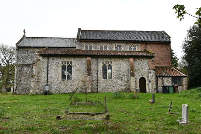
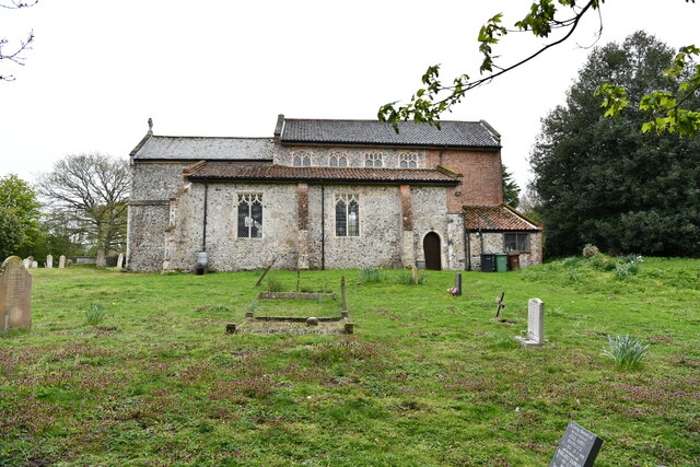
Cobb's Grove Plantation is a historic site located in Norfolk, Virginia. Situated in the midst of a lush wood and forest, the plantation holds significant historical and cultural value. The area is known for its dense foliage, towering trees, and serene atmosphere.
The plantation dates back to the 18th century when it was established by the Cobb family. It was primarily used for cultivating crops such as tobacco and cotton, and it played a significant role in the region's agrarian economy during that time. The plantation's grand manor house, built in a traditional Southern architectural style, serves as a testament to the wealth and influence of its former owners.
Today, Cobb's Grove Plantation has been preserved as a historical site and offers visitors a glimpse into the past. The expansive wood and forest surrounding the plantation provide a picturesque setting for anyone interested in exploring the area's natural beauty. Visitors can take leisurely walks along the plantation's trails, enjoying the tranquility of the surrounding forest.
In addition to the natural splendor, Cobb's Grove Plantation also hosts various events and educational programs that shed light on the history and significance of the site. Visitors can learn about the daily life of plantation owners and enslaved individuals, gaining a deeper understanding of the region's complex history.
Overall, Cobb's Grove Plantation in Norfolk is not only a scenic location but also a place of historical importance that offers a unique insight into the plantation era of Virginia's past.
If you have any feedback on the listing, please let us know in the comments section below.
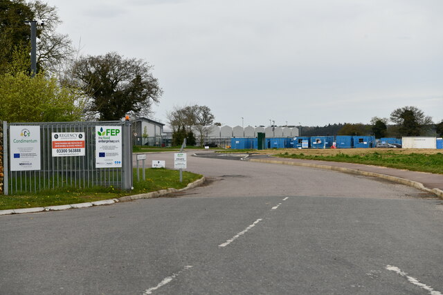
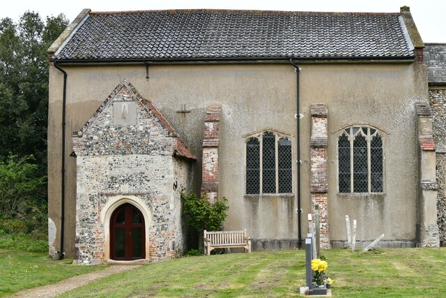
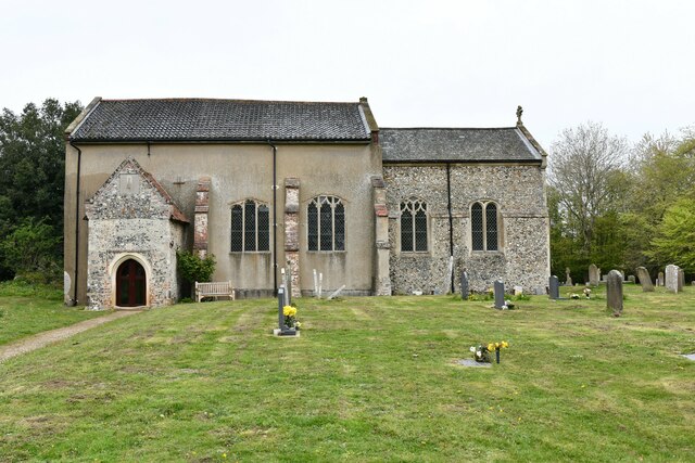
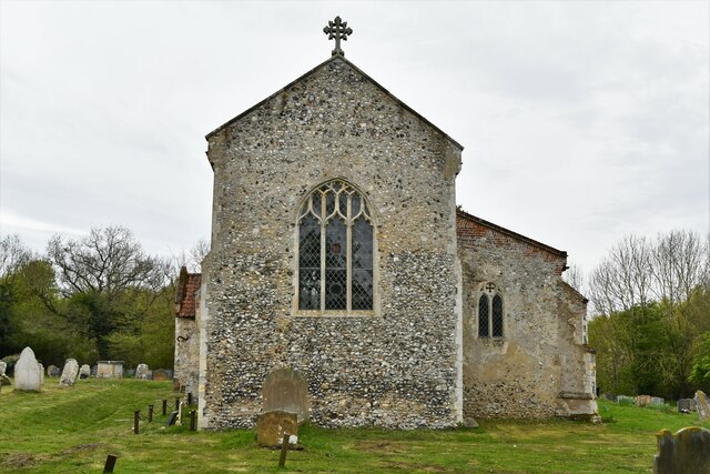
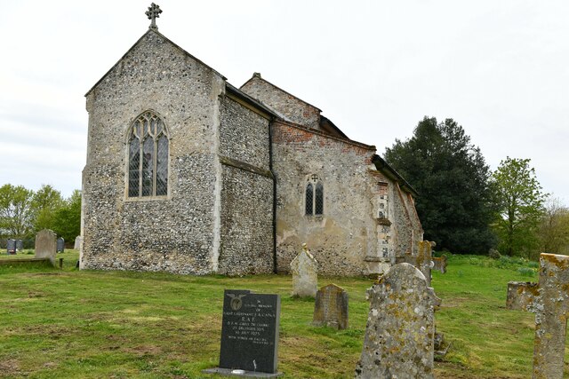
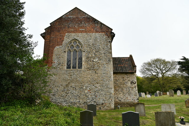
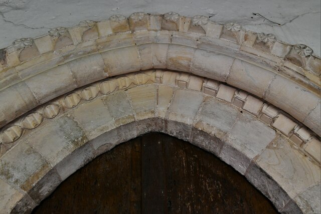
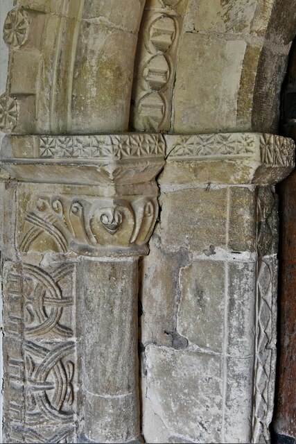
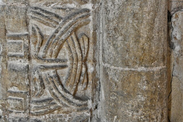
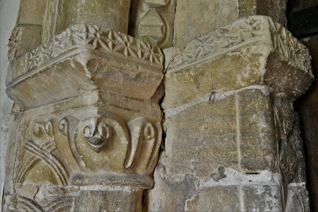
Cobb's Grove Plantation Images
Images are sourced within 2km of 52.639072/1.1574736 or Grid Reference TG1309. Thanks to Geograph Open Source API. All images are credited.

Cobb's Grove Plantation is located at Grid Ref: TG1309 (Lat: 52.639072, Lng: 1.1574736)
Administrative County: Norfolk
District: South Norfolk
Police Authority: Norfolk
What 3 Words
///onion.stumble.paintings. Near Bowthorpe, Norfolk
Nearby Locations
Related Wikis

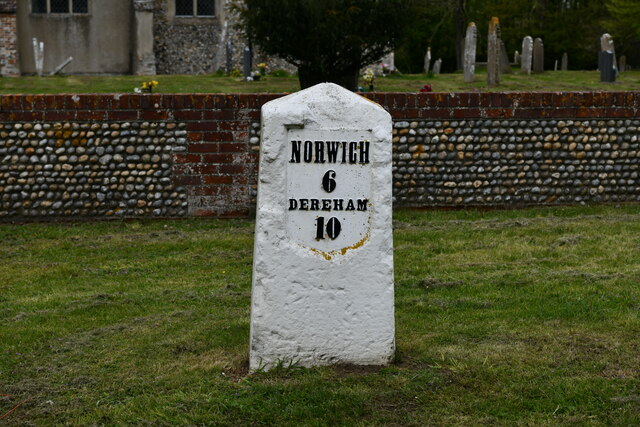
Marlingford
Marlingford is a village and former civil parish, 6 miles (9.7 km) west of Norwich, now in the parish of Marlingford and Colton, in the South Norfolk district...
Easton College
Easton College is a college of further and higher education in Norfolk, United Kingdom. It is located on a 200-hectare (490-acre) campus in the village...

Easton, Norfolk
Easton is a village and civil parish in the English county of Norfolk. The village is located 6.2 miles (10.0 km) north-west of Norwich and 9 miles (14...
Marlingford and Colton
Marlingford and Colton, formerly Marlingford is a civil parish in the English county of Norfolk, made from the villages of Colton and Marlingford. It covers...

Bawburgh
Bawburgh () is a village and civil parish in the South Norfolk district of Norfolk, England, lying in the valley of the River Yare about 5 miles (8.0 km...

River Tiffey
The River Tiffey is a small river in Norfolk, England and a tributary of the River Yare. It rises near Hethel and passes through Wymondham before flowing...

Barford, Norfolk
Barford is a village and civil parish in the English county of Norfolk, situated some 4 miles (6 km) north of Wymondham and 8 miles (13 km) west of Norwich...

Colton, Norfolk
Colton is a village and former civil parish, 8 miles (13 km) west of Norwich, now in the parish of Marlingford and Colton, in the South Norfolk district...
Nearby Amenities
Located within 500m of 52.639072,1.1574736Have you been to Cobb's Grove Plantation?
Leave your review of Cobb's Grove Plantation below (or comments, questions and feedback).