Home Wood
Wood, Forest in Norfolk South Norfolk
England
Home Wood

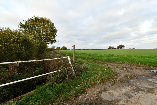
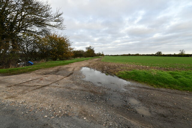
Home Wood, Norfolk, also known as Wood or Forest, is a picturesque woodland located in the county of Norfolk, England. Covering an area of approximately 100 hectares, the wood is a popular destination for nature enthusiasts and those seeking tranquility and relaxation.
Home Wood is characterized by its diverse range of tree species, including oak, beech, birch, and pine, which create a beautiful and vibrant canopy throughout the seasons. The woodland floor is adorned with an array of wildflowers, ferns, and mosses, adding to its natural charm.
The wood is home to a variety of wildlife, making it a haven for animal lovers and birdwatchers. Visitors may have the opportunity to spot deer, foxes, squirrels, and a wide range of bird species, including woodpeckers, owls, and finches.
For those looking to explore the wood, there are several well-maintained walking trails that wind through the forest, allowing visitors to fully immerse themselves in the natural beauty of the surroundings. The paths are suitable for all levels of fitness and offer breathtaking views of the wood and its surroundings.
Home Wood is managed by the local authorities, who ensure the preservation and conservation of the woodland, as well as the safety and enjoyment of visitors. The wood is open to the public throughout the year, with no admission fee, making it an accessible and affordable destination for all.
Overall, Home Wood, Norfolk, offers a tranquil and enchanting escape from the bustle of everyday life, providing visitors with the opportunity to reconnect with nature and enjoy the beauty of the British countryside.
If you have any feedback on the listing, please let us know in the comments section below.
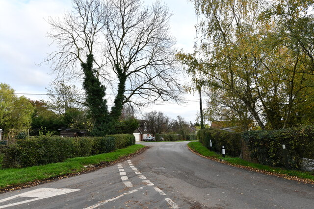
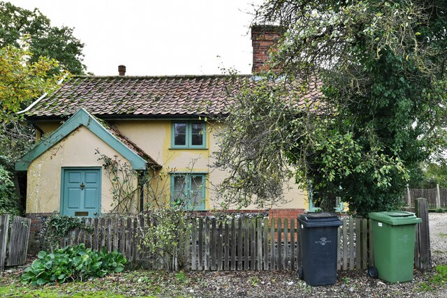
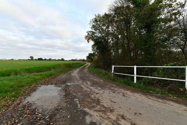
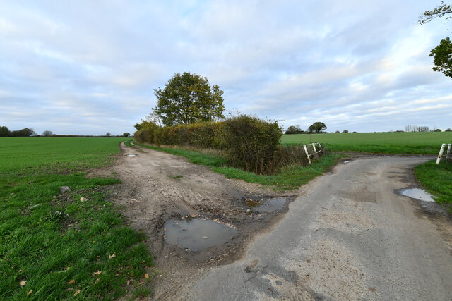
Home Wood Images
Images are sourced within 2km of 52.42431/1.1446094 or Grid Reference TM1385. Thanks to Geograph Open Source API. All images are credited.


Home Wood is located at Grid Ref: TM1385 (Lat: 52.42431, Lng: 1.1446094)
Administrative County: Norfolk
District: South Norfolk
Police Authority: Norfolk
What 3 Words
///trackers.leave.premature. Near Dickleburgh, Norfolk
Related Wikis

Gissing, Norfolk
Gissing is a village and civil parish in Norfolk, England, about 6 miles (9.7 km) north of Diss and 15 miles (24 km) south-west of Norwich. == History... ==

Heywood, Norfolk
Heywood is a civil parish in the English county of Norfolk. It was formed in 2003 from a part of the parish of Diss. It covers an area of 9.56 km2 (3.69...

Burston railway station
Burston railway station was on the Diss to Norwich line and served the village of Burston, Norfolk. Only the station building remains; the signal box has...

Burston Strike School
The Burston Strike School was founded as a consequence of a school strike and became the centre of the longest running strike in British history, that...
Shimpling, Norfolk
Shimpling is a village and former civil parish 16 miles (26 km) south of Norwich, now in the parish of Burston and Shimpling, in the South Norfolk district...
Burston and Shimpling
Burston and Shimpling is a civil parish in the county of Norfolk, England. The parish covers an area of 9.17 km2 (3.54 sq mi) and had a population of 538...

Burston, Norfolk
Burston is a village and former civil parish, now in the parish of Burston and Shimpling, in the South Norfolk district, in the county of Norfolk, England...
Tivetshall St Margaret
Tivetshall St Margaret is a village and former civil parish, now in the parish of Tivetshall, in the South Norfolk district, in the county of Norfolk,...
Nearby Amenities
Located within 500m of 52.42431,1.1446094Have you been to Home Wood?
Leave your review of Home Wood below (or comments, questions and feedback).