Leechpit Plantation
Wood, Forest in Norfolk Broadland
England
Leechpit Plantation
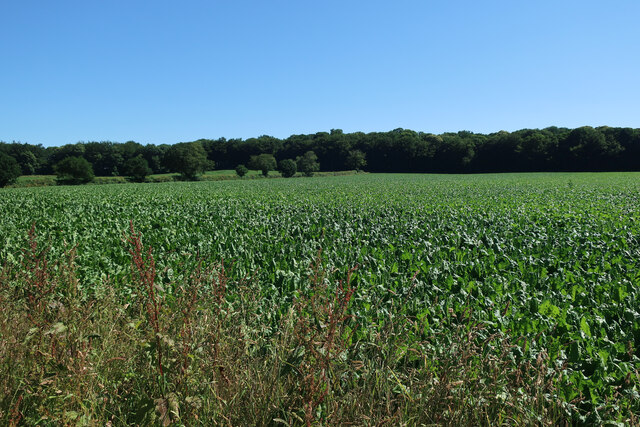
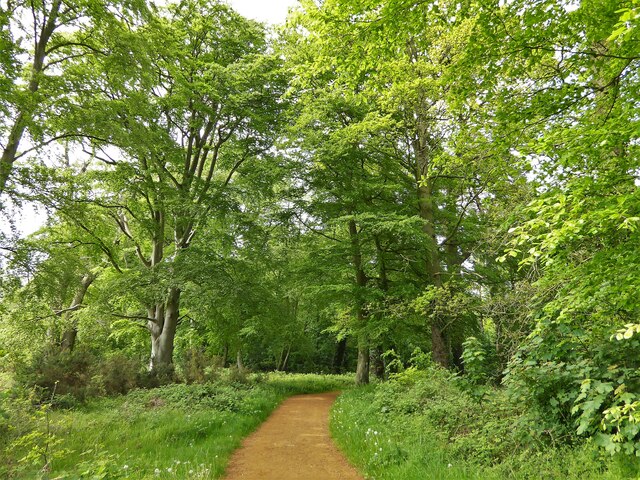
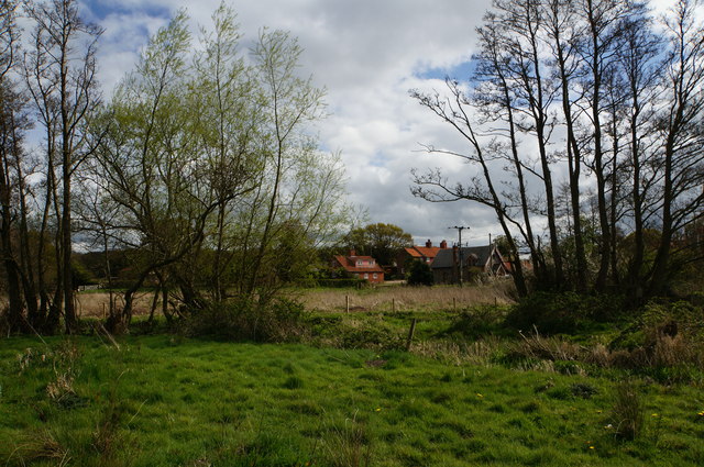
Leechpit Plantation is a picturesque woodland located in Norfolk, England. Covering an area of approximately 200 acres, it is known for its diverse flora and fauna, making it a popular destination for nature enthusiasts and hikers alike.
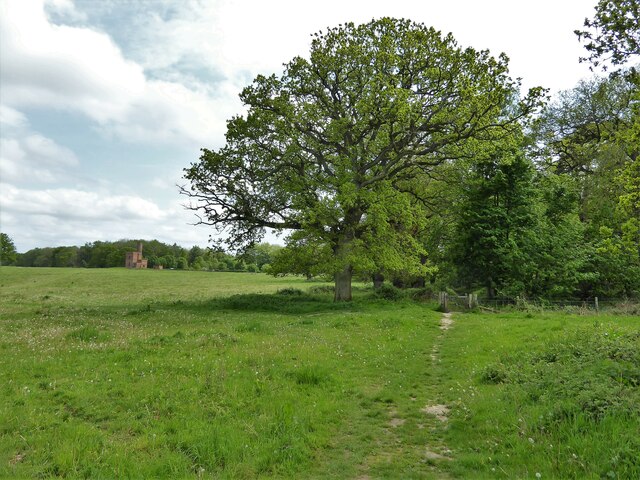
The plantation is predominantly composed of ancient oak trees, which provide a dense canopy, creating a cool and shaded environment throughout. This, combined with the presence of a nearby river, creates a moist and fertile habitat, supporting a wide variety of plant species.
Among the notable flora found in Leechpit Plantation are bluebells, primroses, and wild garlic, which burst into a riot of color during the spring months. The woodland floor is also carpeted with ferns and mosses, adding to its enchanting beauty.
The plantation is home to a rich and diverse wildlife population. Visitors may catch a glimpse of roe deer gracefully wandering through the trees, or perhaps encounter a red squirrel darting from branch to branch. Birdwatchers will be delighted to spot species such as woodpeckers, nuthatches, and tawny owls, which find sanctuary in the plantation's ancient trees.
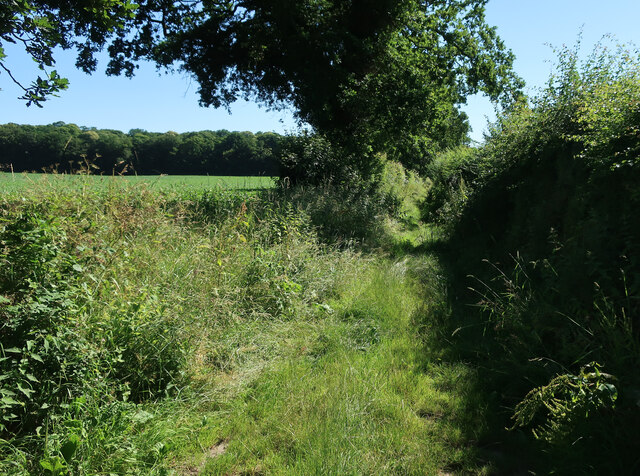
In addition to its natural wonders, Leechpit Plantation offers a network of well-maintained trails, allowing visitors to explore its beauty at their own pace. Guided tours are also available, providing insight into the history and ecological significance of the woodland.
Overall, Leechpit Plantation is a captivating destination for nature lovers, offering a tranquil escape from the hustle and bustle of daily life, while providing a glimpse into the beauty and diversity of Norfolk's woodlands.
If you have any feedback on the listing, please let us know in the comments section below.
Leechpit Plantation Images
Images are sourced within 2km of 52.815463/1.1727017 or Grid Reference TG1328. Thanks to Geograph Open Source API. All images are credited.


Leechpit Plantation is located at Grid Ref: TG1328 (Lat: 52.815463, Lng: 1.1727017)
Administrative County: Norfolk
District: Broadland
Police Authority: Norfolk
What 3 Words
///frock.plants.customers. Near Cawston, Norfolk
Nearby Locations
Related Wikis

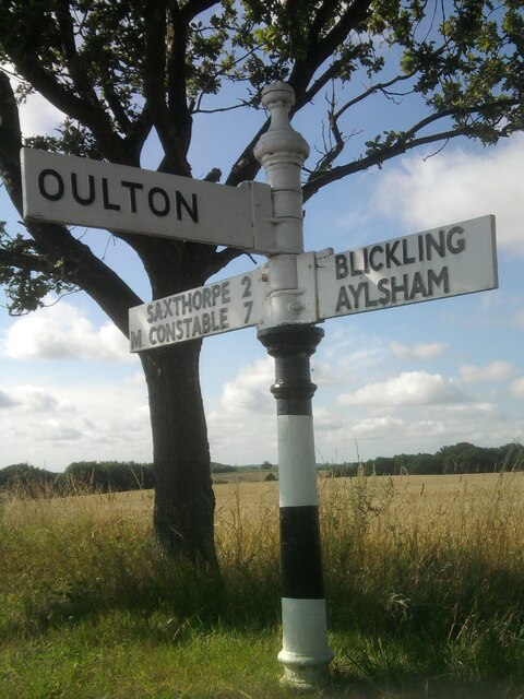
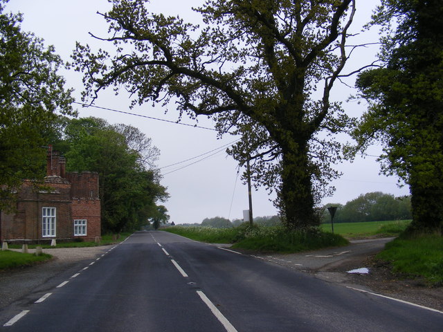
Oulton, Norfolk
Oulton is a village and civil parish in Norfolk, England. Nearby towns are Reepham and Aylsham. The parish covers an area of 10.58 km2 (4.08 sq mi) and...
Itteringham
Itteringham is a village and civil parish in the English county of Norfolk, some 4+1⁄2 miles (7.2 km) northwest of the market town of Aylsham. It covers...

RAF Oulton
Royal Air Force Oulton or more simply RAF Oulton is a former Royal Air Force satellite station located 3 miles (4.8 km) west of Aylsham, Norfolk and 12...

Bluestone railway station
Bluestone railway station was a station in Norfolk, England. It was on the Midland and Great Northern Joint Railway between Corpusty and Aylsham North...

Saxthorpe
Saxthorpe is a village in Norfolk, England. The village is 12 miles (19 km) west south west of Cromer and 16.3 miles (26.2 km) north north west of Norwich...
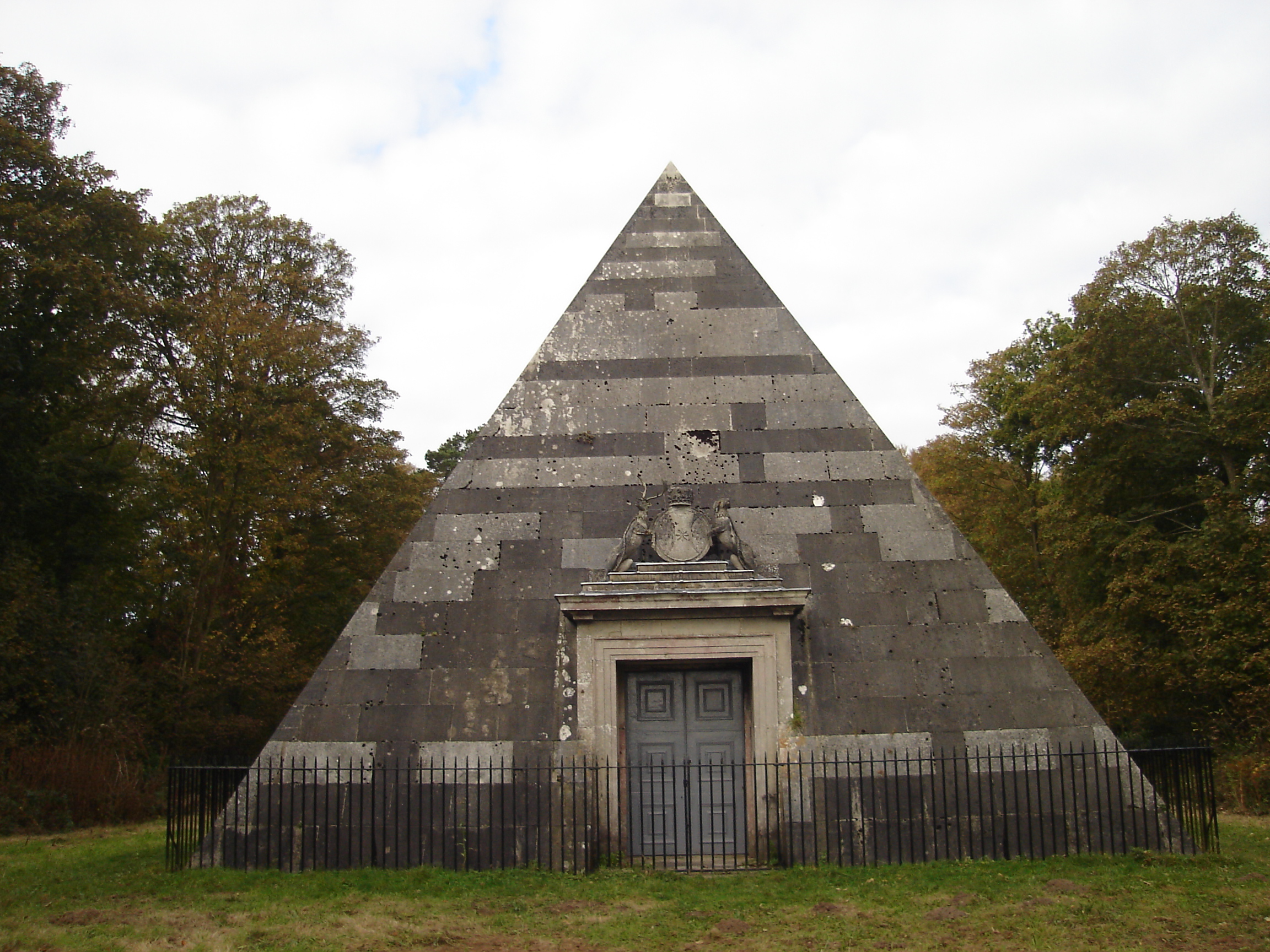
Blickling Park mausoleum
The Blickling Park mausoleum is a Grade II* listed building in the grounds of Blickling Hall, Norfolk, England. It was commissioned in 1793 by Lady Caroline...

Corpusty and Saxthorpe railway station
Corpusty and Saxthorpe railway station was a railway station in the North Norfolk village of Corpusty. It was opened by the Eastern & Midlands Railway...

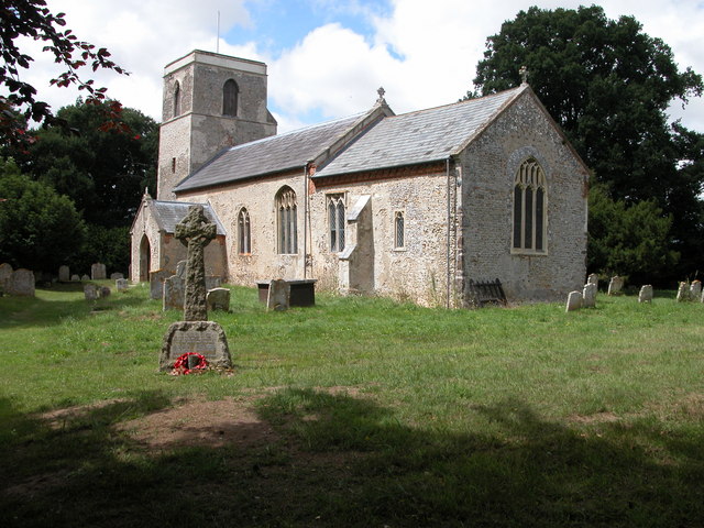
Heydon, Norfolk
Heydon is a village and civil parish in Norfolk, England. It is located 3 miles (4.8 km) north of the market town of Reepham. The village can be accessed...
Nearby Amenities
Located within 500m of 52.815463,1.1727017Have you been to Leechpit Plantation?
Leave your review of Leechpit Plantation below (or comments, questions and feedback).