Broomhill Plantation
Wood, Forest in Norfolk Broadland
England
Broomhill Plantation
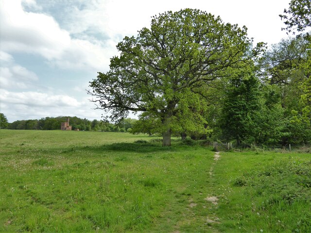
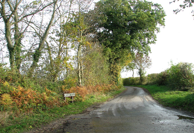
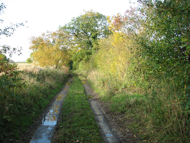
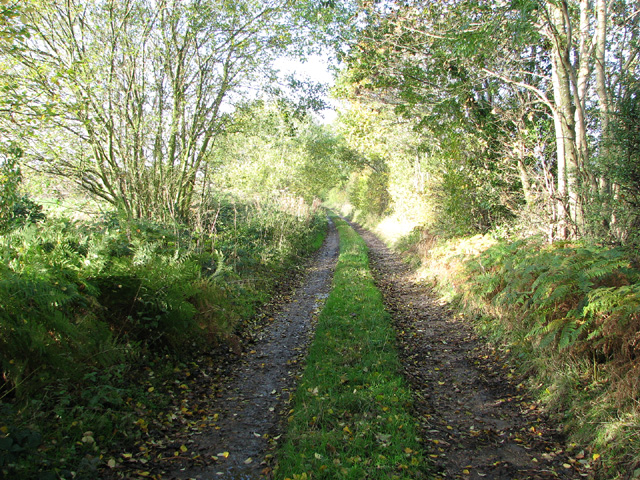
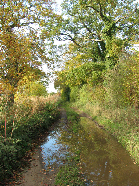
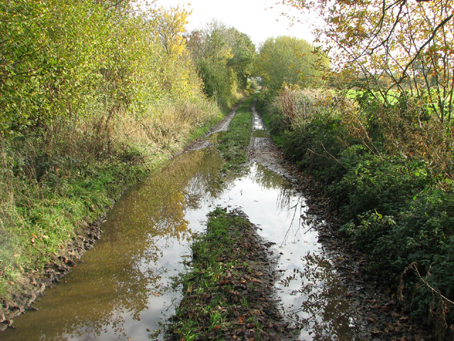
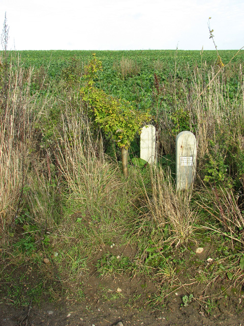
Broomhill Plantation is a picturesque woodland area located in Norfolk, England. Stretching over a vast expanse of approximately 200 hectares, it is widely recognized for its natural beauty and ecological significance. The plantation is situated near the village of Woodbastwick, offering visitors a tranquil and verdant retreat from the bustling city life.
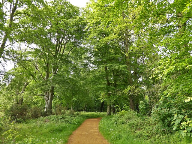
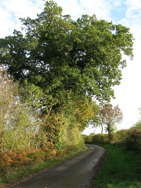
The woodland is predominantly composed of a diverse range of trees, including oak, birch, beech, and pine. These trees provide a rich habitat for a wide variety of wildlife, making Broomhill Plantation a popular destination for nature enthusiasts and birdwatchers. The plantation is home to numerous bird species, such as tawny owls, woodpeckers, and goldcrests, among others.
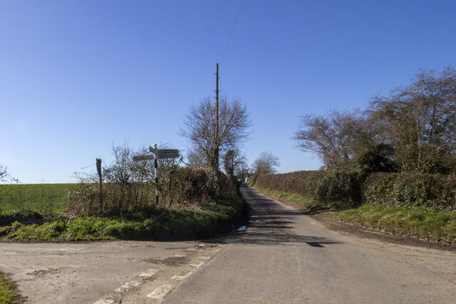
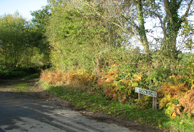
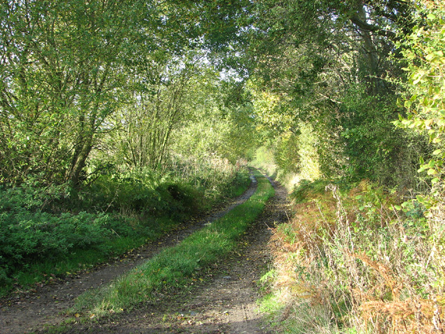
Visitors can explore the plantation through a network of well-maintained footpaths, allowing them to immerse themselves in the calming ambiance of the forest. The trails wind through the dense woodland, offering glimpses of enchanting flora and fauna along the way. Additionally, the plantation features several viewpoints, enabling visitors to appreciate the breathtaking panoramic views of the surrounding countryside.
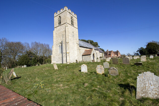
Broomhill Plantation is also known for its historical significance. The site was initially established in the mid-19th century as a timber plantation, serving as a source of timber for various industries. Today, it continues to be managed sustainably, ensuring the preservation of its unique ecosystem for future generations.
Whether one seeks solace in nature, desires to explore diverse wildlife, or simply wishes to appreciate the scenic beauty of a woodland, Broomhill Plantation provides an idyllic setting for all nature enthusiasts.
If you have any feedback on the listing, please let us know in the comments section below.
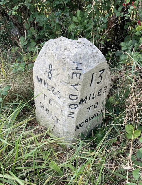
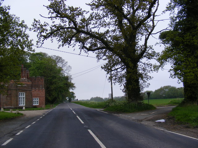
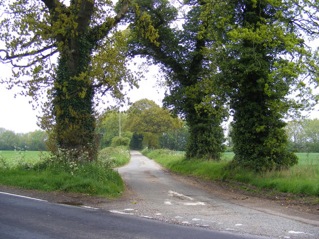
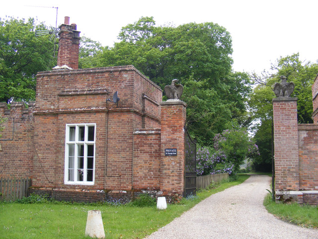
Broomhill Plantation Images
Images are sourced within 2km of 52.811847/1.1734029 or Grid Reference TG1328. Thanks to Geograph Open Source API. All images are credited.

Broomhill Plantation is located at Grid Ref: TG1328 (Lat: 52.811847, Lng: 1.1734029)
Administrative County: Norfolk
District: Broadland
Police Authority: Norfolk
What 3 Words
///unlimited.scale.deals. Near Cawston, Norfolk
Nearby Locations
Related Wikis

Oulton, Norfolk
Oulton is a village and civil parish in Norfolk, England. Nearby towns are Reepham and Aylsham. The parish covers an area of 10.58 km2 (4.08 sq mi) and...

RAF Oulton
Royal Air Force Oulton or more simply RAF Oulton is a former Royal Air Force satellite station located 3 miles (4.8 km) west of Aylsham, Norfolk and 12...

Bluestone railway station
Bluestone railway station was a station in Norfolk, England. It was on the Midland and Great Northern Joint Railway between Corpusty and Aylsham North...
Itteringham
Itteringham is a village and civil parish in the English county of Norfolk, some 4+1⁄2 miles (7.2 km) northwest of the market town of Aylsham. It covers...
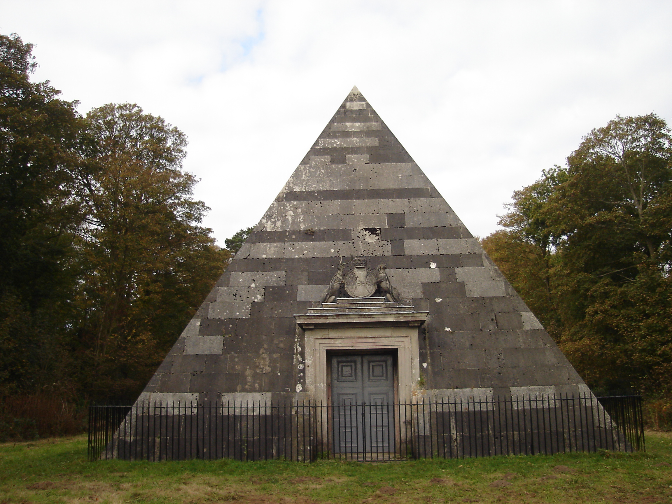
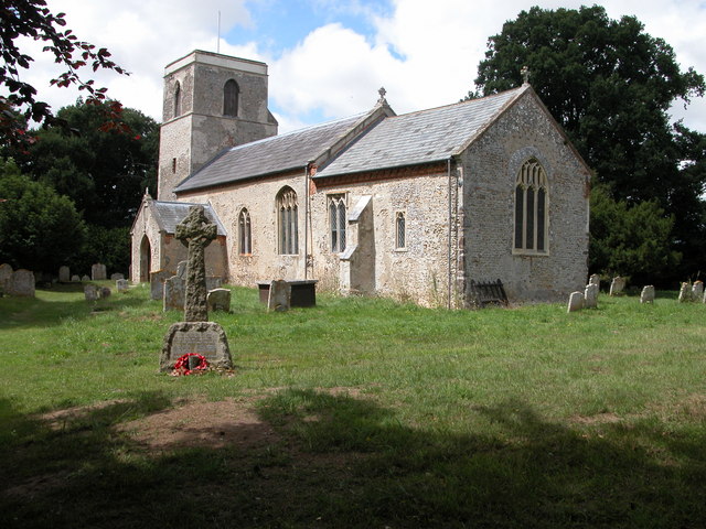
Blickling Park mausoleum
The Blickling Park mausoleum is a Grade II* listed building in the grounds of Blickling Hall, Norfolk, England. It was commissioned in 1793 by Lady Caroline...

Heydon, Norfolk
Heydon is a village and civil parish in Norfolk, England. It is located 3 miles (4.8 km) north of the market town of Reepham. The village can be accessed...

Saxthorpe
Saxthorpe is a village in Norfolk, England. The village is 12 miles (19 km) west south west of Cromer and 16.3 miles (26.2 km) north north west of Norwich...

Corpusty and Saxthorpe railway station
Corpusty and Saxthorpe railway station was a railway station in the North Norfolk village of Corpusty. It was opened by the Eastern & Midlands Railway...
Nearby Amenities
Located within 500m of 52.811847,1.1734029Have you been to Broomhill Plantation?
Leave your review of Broomhill Plantation below (or comments, questions and feedback).