Nuttery Plantation
Wood, Forest in Norfolk North Norfolk
England
Nuttery Plantation
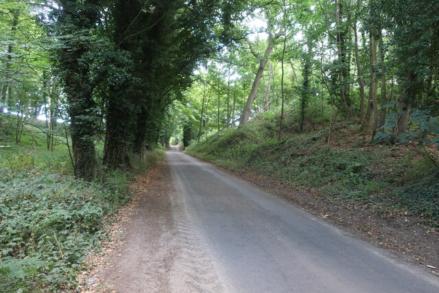
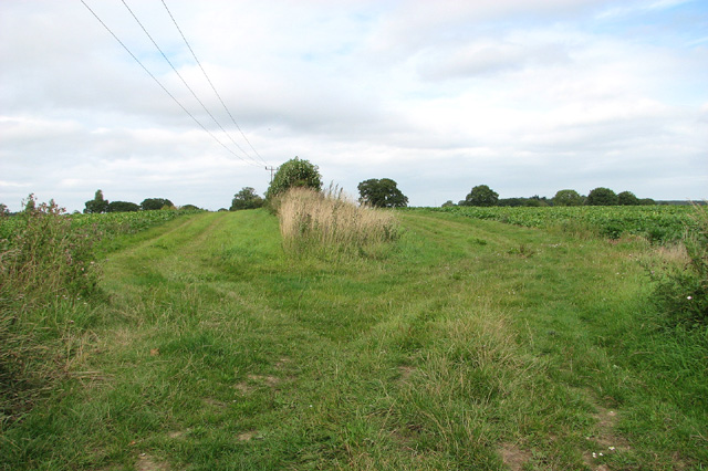
Nuttery Plantation, located in Norfolk, is a picturesque woodland area known for its abundant nut trees. Covering a vast expanse of land, the plantation is a haven for nature enthusiasts and those seeking tranquility amidst the lush greenery. The plantation is primarily composed of dense forests, with a wide variety of trees such as oak, beech, and chestnut, but it is most notable for its extensive collection of nut trees, including hazelnut, walnut, and almond.
The plantation's rich soil and favorable climate make it an ideal environment for the growth of nut trees, which thrive in this region. Walking through the woodland, visitors can enjoy the soothing sounds of birds chirping and the rustling of leaves underfoot. The air is often filled with the earthy scent of the forest, creating a refreshing atmosphere that invigorates the senses.
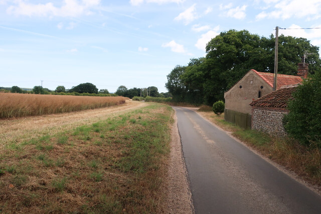
The plantation offers various recreational activities, making it a popular destination for locals and tourists alike. Visitors can indulge in leisurely walks along well-maintained trails that wind through the woods, providing opportunities to observe and appreciate the diverse flora and fauna. For more adventurous individuals, there are designated areas for biking and hiking, allowing them to explore the plantation's vast expanses.
Nuttery Plantation also serves as an educational site, with informative displays and guided tours available to those interested in learning more about nut trees and their cultivation. Local experts provide insights into the plantation's history, the different species of nut trees, and their economic significance.
Overall, Nuttery Plantation in Norfolk offers a serene escape into nature, allowing visitors to immerse themselves in the beauty of the woodland and the fascinating world of nut trees.
If you have any feedback on the listing, please let us know in the comments section below.
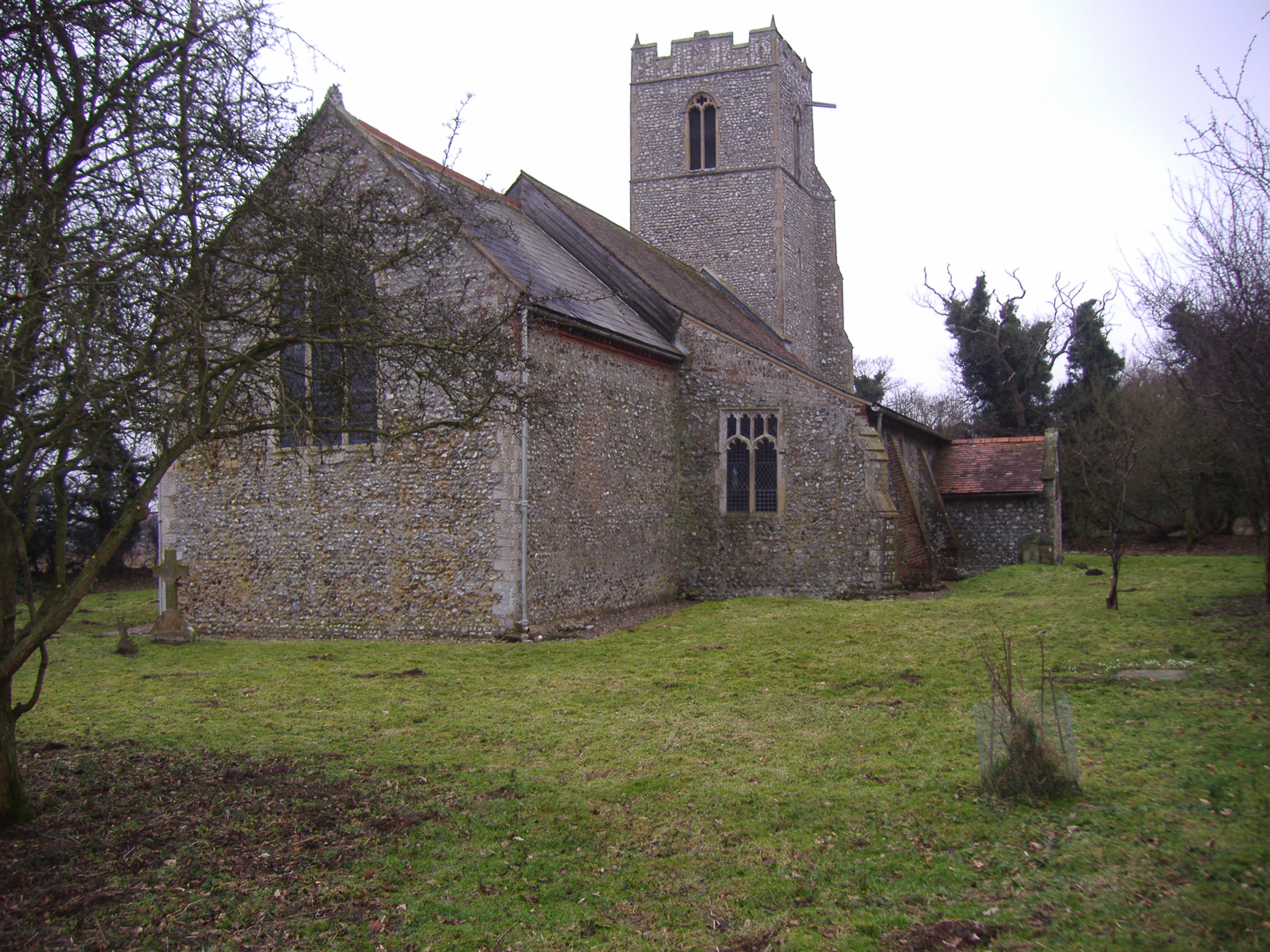
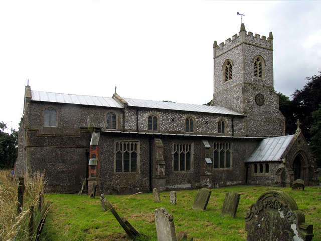
Nuttery Plantation Images
Images are sourced within 2km of 52.871975/1.1777785 or Grid Reference TG1335. Thanks to Geograph Open Source API. All images are credited.


Nuttery Plantation is located at Grid Ref: TG1335 (Lat: 52.871975, Lng: 1.1777785)
Administrative County: Norfolk
District: North Norfolk
Police Authority: Norfolk
What 3 Words
///titles.providing.initial. Near Sheringham, Norfolk
Nearby Locations
Related Wikis
Plumstead, Norfolk
Plumstead is a village and a civil parish in the English county of Norfolk. The village is 19.7 miles (31.7 km) north north west of Norwich, 9.5 miles...

Matlaske
Matlaske is a village and a civil parish in the English county of Norfolk. The village is 21.6 miles (34.8 km) North-north-west of Norwich, 9.3 miles...
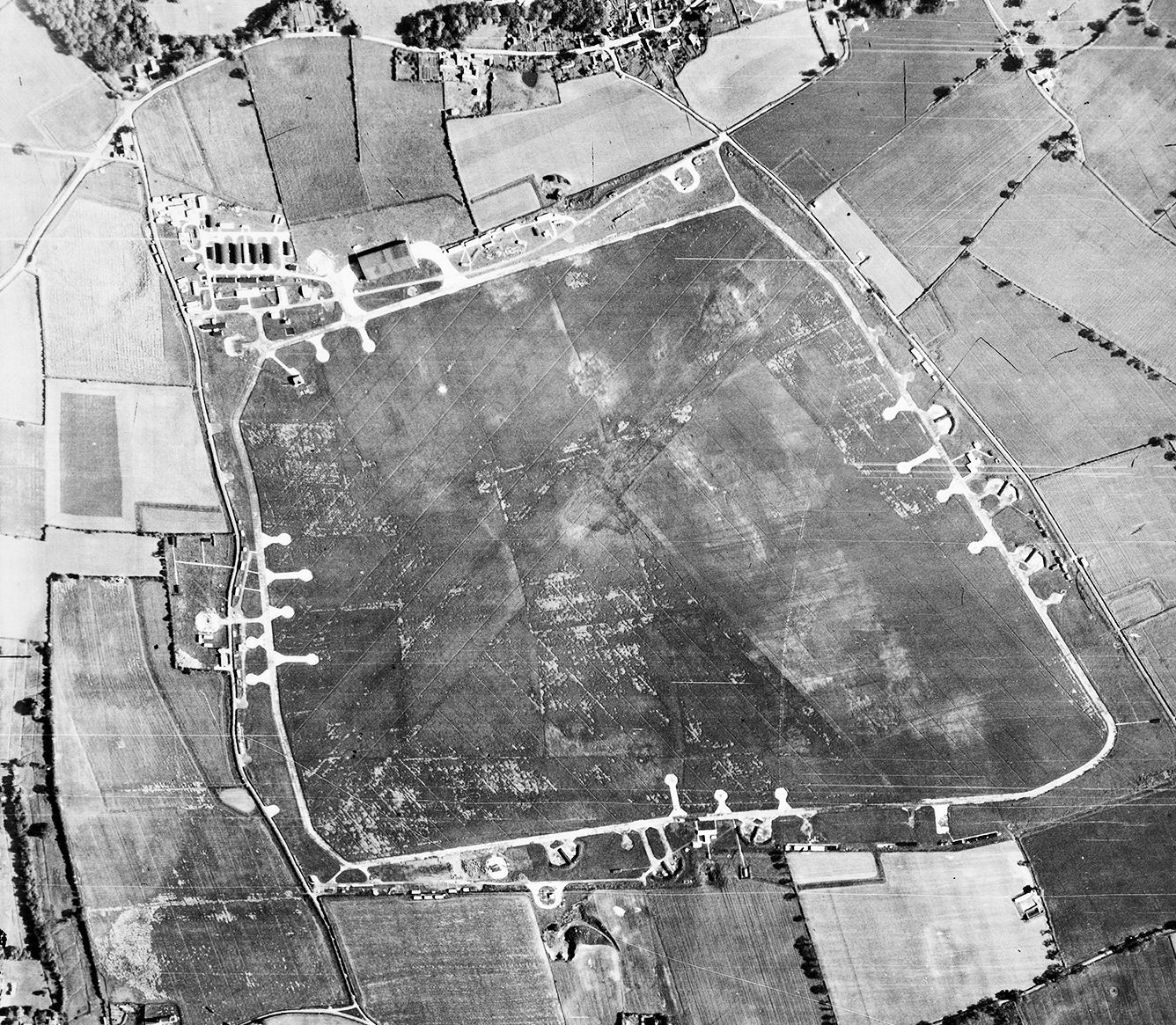
RAF Matlaske
Royal Air Force Matlaske or more simply RAF Matlaske is a former Royal Air Force satellite station to RAF Coltishall, situated near Matlaske in Norfolk...
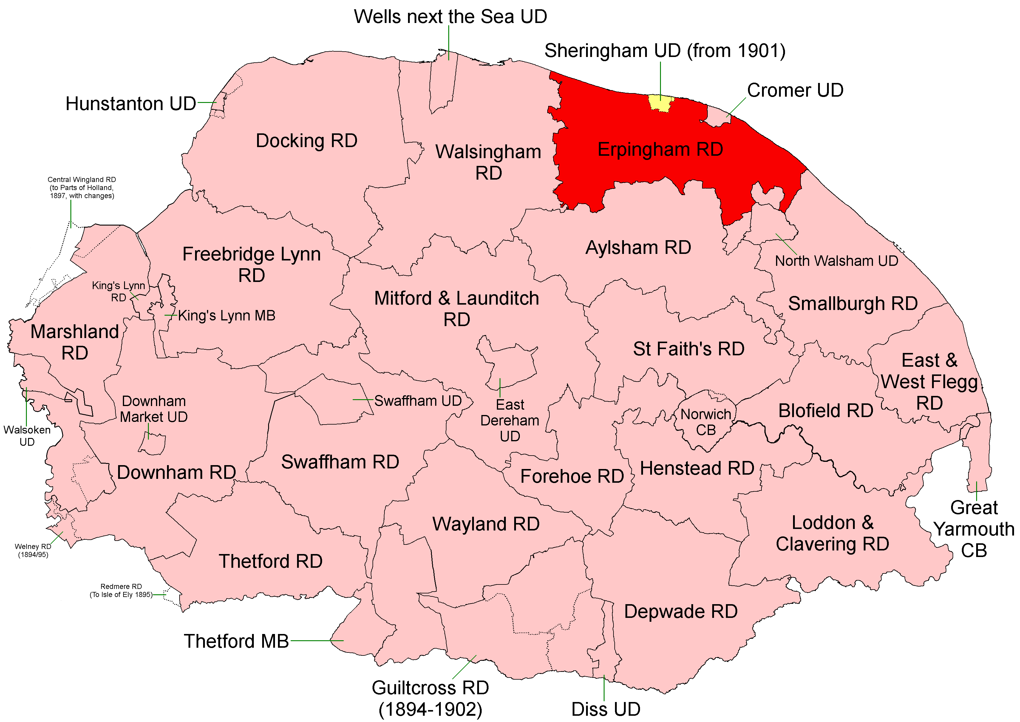
Erpingham Rural District
Erpingham Rural District was a rural district in Norfolk, England from 1894 to 1974.It was formed under the Local Government Act 1894 based on the Erpingham...
North Barningham
North Barningham is a hamlet within the civil parish of Gresham in the English county of Norfolk. The hamlet is 7 miles (11 km) south-west of Cromer, 23...

Little Barningham
Little Barningham is a village and a civil parish in the English county of Norfolk. The village is 19 miles (31 km) north of Norwich, 10 miles (16 km)...

North Norfolk (UK Parliament constituency)
North Norfolk is a constituency represented in the House of Commons of the UK Parliament since 2019 by Duncan Baker, a Conservative. == Constituency... ==
Baconsthorpe
Baconsthorpe is a village and civil parish in the North Norfolk district of the English county of Norfolk. It is 4 miles (6.4 km) south-east of Holt, 5...
Nearby Amenities
Located within 500m of 52.871975,1.1777785Have you been to Nuttery Plantation?
Leave your review of Nuttery Plantation below (or comments, questions and feedback).