The Carr
Wood, Forest in Norfolk Broadland
England
The Carr
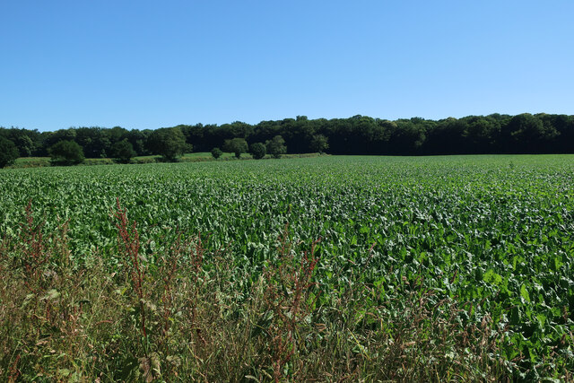
The Carr, Norfolk, also known as the Norfolk Wood or Forest, is a vast natural area located in the county of Norfolk, England. Spanning approximately 4,000 hectares, it is considered one of the largest remaining wetland habitats in the region. The Carr is characterized by its diverse ecological landscape, consisting of marshes, reed beds, fen, and woodland areas.
The Carr's wetland habitat is a haven for a wide range of plant and animal species, making it an important biodiversity hotspot. The area is home to several rare and endangered species, including the swallowtail butterfly, which is unique to Norfolk. The diverse flora includes species such as reed, sedge, and fen plants, creating a vibrant and lush environment.
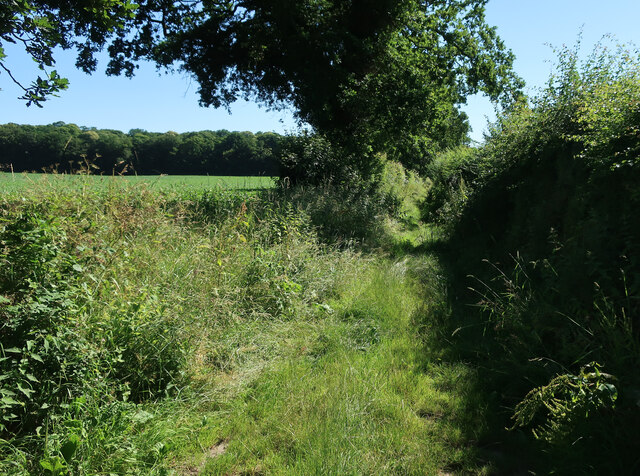
The Norfolk Wood, a significant part of the Carr, is a mixed woodland containing both native and non-native tree species. Oak, ash, birch, and willow trees are commonly found, providing food and shelter for a variety of bird species. The woodland also supports a population of deer, foxes, badgers, and rabbits, among other mammals.
The Carr is not only significant for its ecological value but also for its cultural and recreational importance. It offers a range of outdoor activities, including walking, birdwatching, and nature photography. The area is a popular destination for nature enthusiasts and visitors seeking a peaceful retreat amidst natural surroundings.
Efforts have been made to preserve and protect the Carr's unique ecosystem. Local authorities and conservation organizations work together to manage the area sustainably, ensuring the continued existence of this valuable natural resource for future generations to enjoy and appreciate.
If you have any feedback on the listing, please let us know in the comments section below.
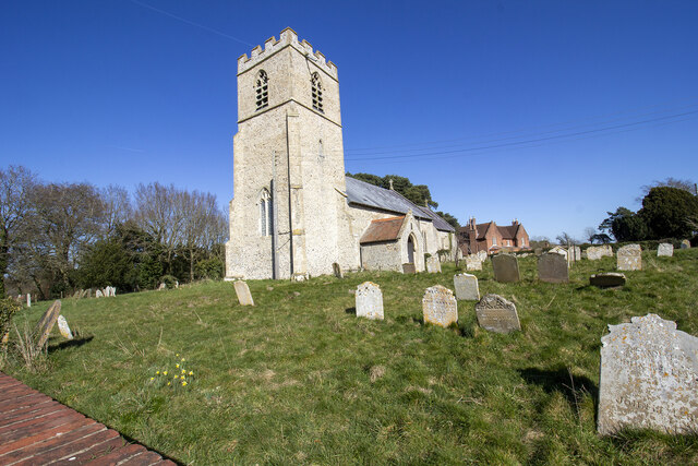
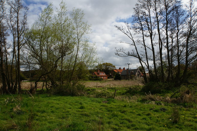
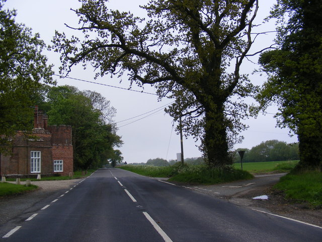
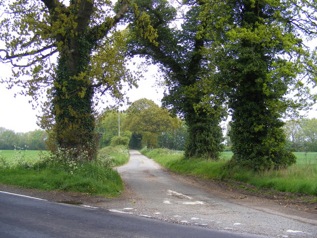
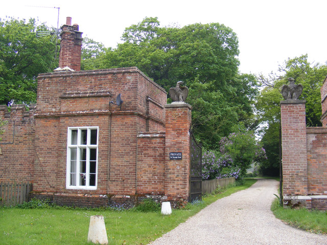
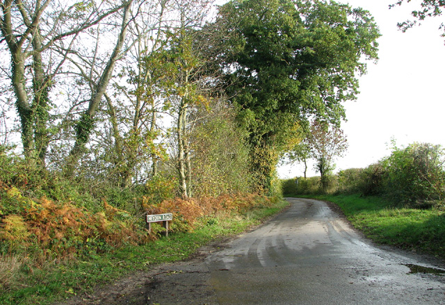
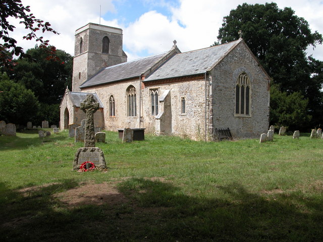
The Carr Images
Images are sourced within 2km of 52.815558/1.1708531 or Grid Reference TG1328. Thanks to Geograph Open Source API. All images are credited.


The Carr is located at Grid Ref: TG1328 (Lat: 52.815558, Lng: 1.1708531)
Administrative County: Norfolk
District: Broadland
Police Authority: Norfolk
What 3 Words
///similar.sizing.promoting. Near Cawston, Norfolk
Related Wikis

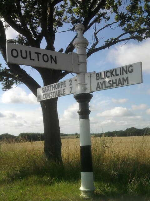
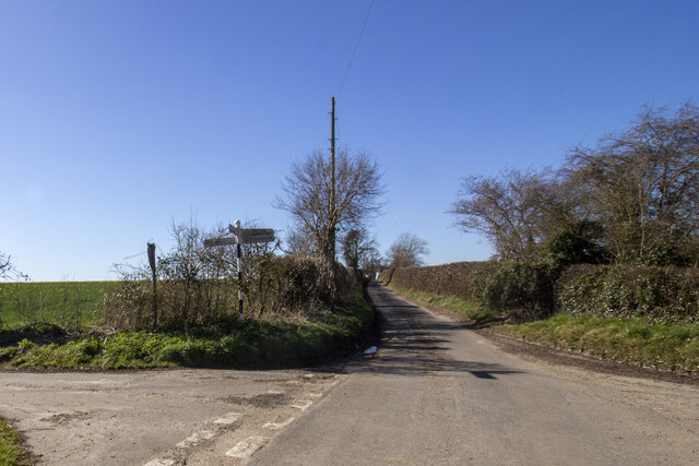
Oulton, Norfolk
Oulton is a village and civil parish in Norfolk, England. Nearby towns are Reepham and Aylsham. The parish covers an area of 10.58 km2 (4.08 sq mi) and...
Itteringham
Itteringham is a village and civil parish in the English county of Norfolk, some 4+1⁄2 miles (7.2 km) northwest of the market town of Aylsham. It covers...

RAF Oulton
Royal Air Force Oulton or more simply RAF Oulton is a former Royal Air Force satellite station located 3 miles (4.8 km) west of Aylsham, Norfolk and 12...

Bluestone railway station
Bluestone railway station was a station in Norfolk, England. It was on the Midland and Great Northern Joint Railway between Corpusty and Aylsham North...

Saxthorpe
Saxthorpe is a village in Norfolk, England. The village is 12 miles (19 km) west south west of Cromer and 16.3 miles (26.2 km) north north west of Norwich...

Corpusty and Saxthorpe railway station
Corpusty and Saxthorpe railway station was a railway station in the North Norfolk village of Corpusty. It was opened by the Eastern & Midlands Railway...
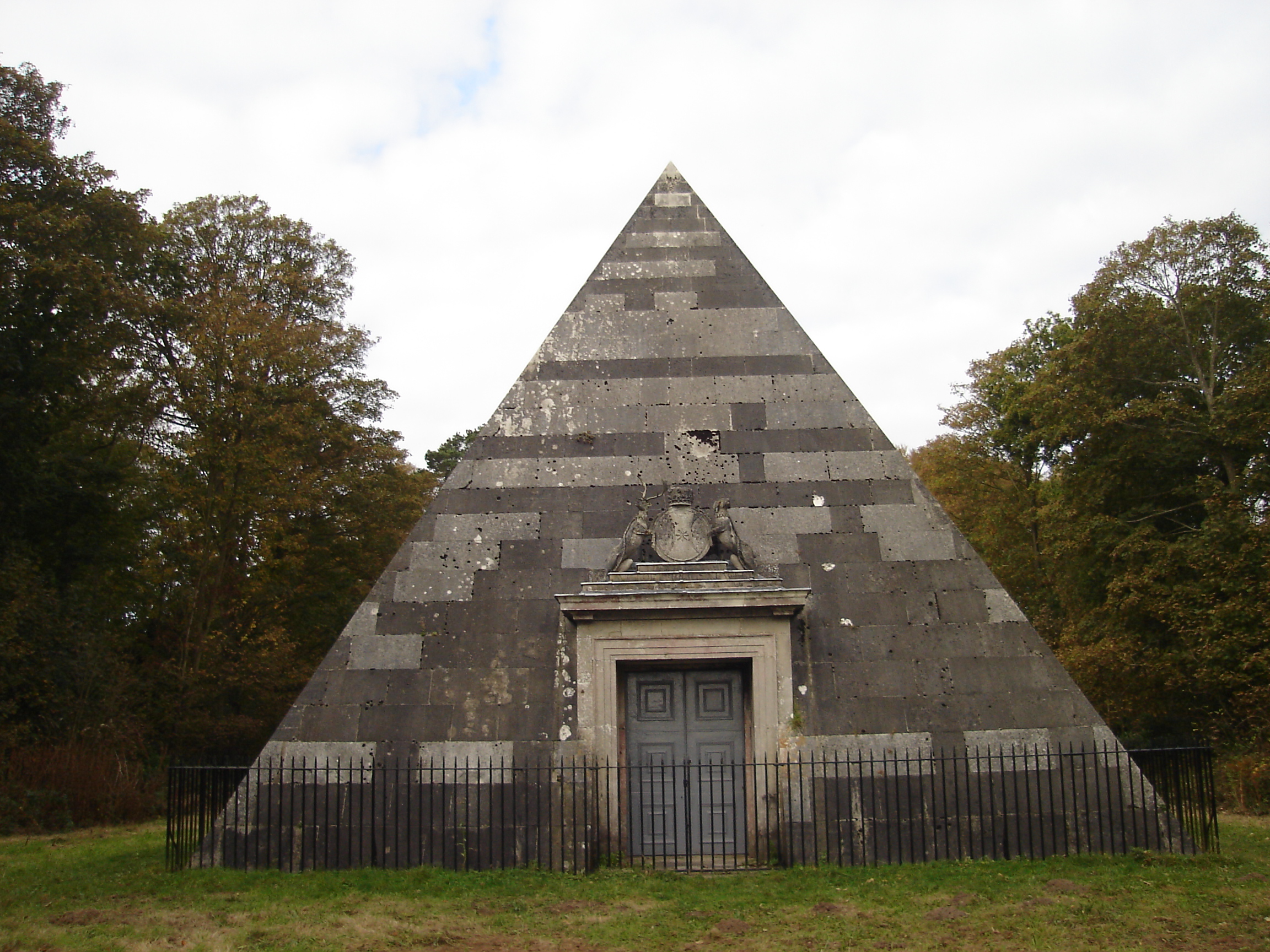
Blickling Park mausoleum
The Blickling Park mausoleum is a Grade II* listed building in the grounds of Blickling Hall, Norfolk, England. It was commissioned in 1793 by Lady Caroline...

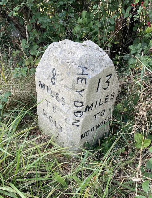
Heydon, Norfolk
Heydon is a village and civil parish in Norfolk, England. It is located 3 miles (4.8 km) north of the market town of Reepham. The village can be accessed...
Nearby Amenities
Located within 500m of 52.815558,1.1708531Have you been to The Carr?
Leave your review of The Carr below (or comments, questions and feedback).