Lawn Plantation

Wood, Forest in Norfolk Broadland

England

Lawn Plantation

Church Lane Church Lane crossroad.
Church Lane Credit: P Gaskell

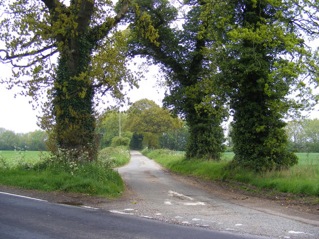
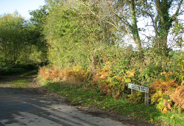
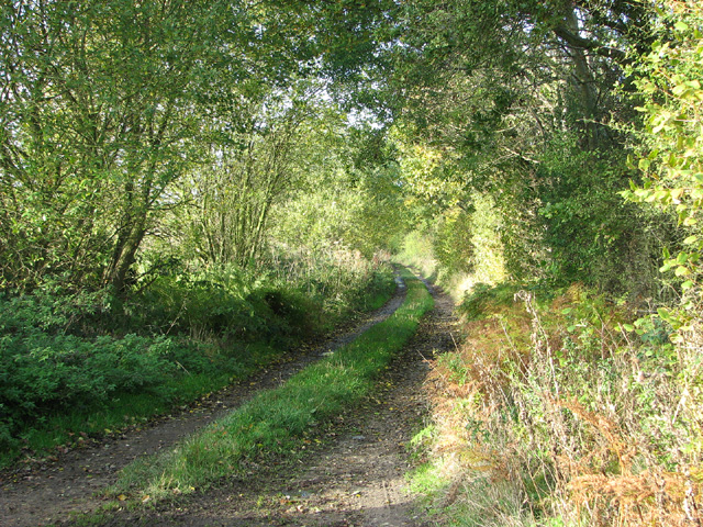
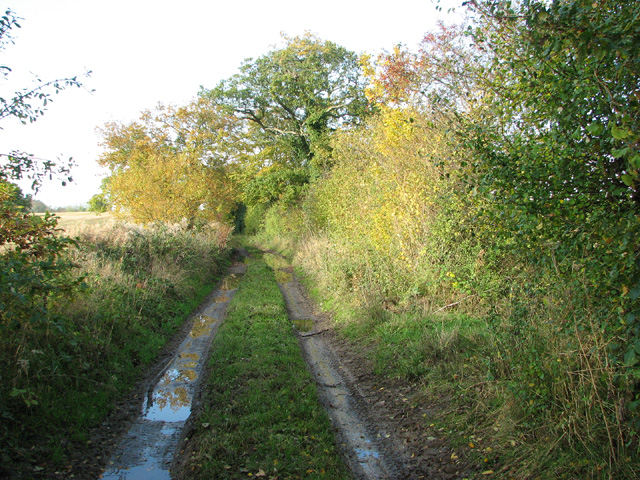
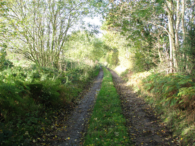
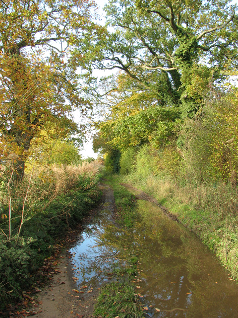
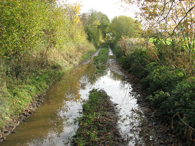
Lawn Plantation, located in Norfolk, England, is a picturesque wood and forest area known for its lush greenery and diverse range of plant species. Spanning over a considerable area, this plantation is a haven for nature lovers and outdoor enthusiasts seeking tranquility and natural beauty.

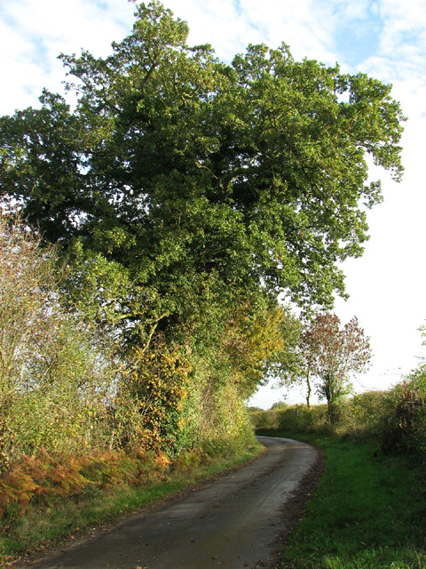
The plantation boasts a variety of tree species, including oak, ash, beech, and birch, which contribute to the rich biodiversity found within the woodland. The dense canopy created by these trees allows for a cool and shaded atmosphere, perfect for leisurely walks or picnics on a sunny day. Additionally, the forest floor is adorned with an array of wildflowers, adding pops of color and attracting various insects and butterflies.

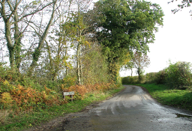
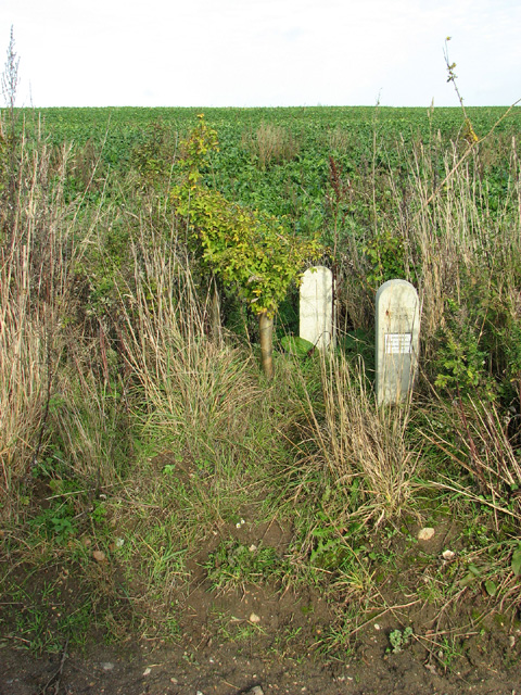
Lawn Plantation offers a network of well-maintained footpaths and trails, allowing visitors to explore the woodland at their own pace. These paths take visitors through a range of terrains, from undulating hills to meandering streams and small clearings, providing a diverse and immersive experience in nature.

The woodland is also home to an abundance of wildlife, including birds such as woodpeckers, owls, and jays, as well as mammals like rabbits, squirrels, and deer. Birdwatchers will especially appreciate the opportunity to spot rare species in this peaceful sanctuary.

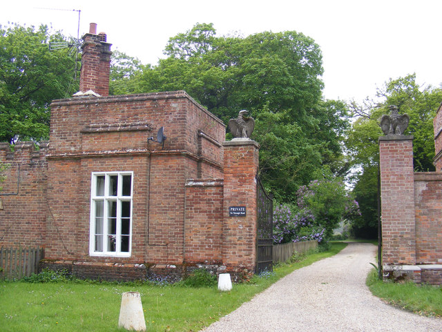
Lawn Plantation is easily accessible, with ample parking and facilities such as picnic areas and benches dotted throughout the woodland. It offers a serene escape from the hustle and bustle of city life, allowing visitors to reconnect with nature and enjoy the tranquility of the Norfolk countryside.

If you have any feedback on the listing, please let us know in the comments section below.

Lawn Plantation Images

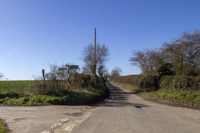
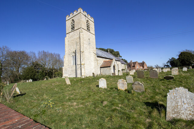
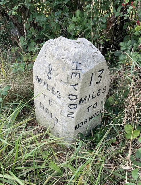
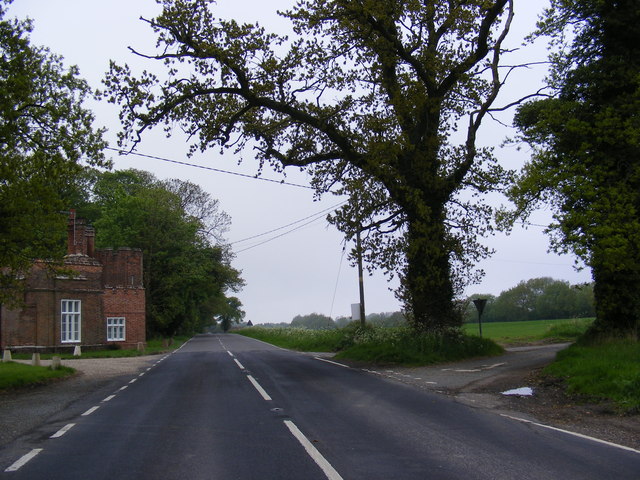
Images are sourced within 2km of 52.813307/1.1662216 or Grid Reference TG1328. Thanks to Geograph Open Source API. All images are credited.

Church Lane Church Lane crossroad.
Church Lane
Church Lane crossroad.
The Church of St Peter and St Paul at Oulton Church and churchyard
The Church of St Peter and St Paul at Oulton
Church and churchyard
Spink's Lane Spink's Lane public right of way
Spink's Lane
Spink's Lane public right of way
Old Milestone by the B1149, south west of Oulton Carved stone post by the B1149, in parish of Heydon (Broadland District), about 250yds South of lodge to Heydon Hall, on the verge backed by field, on West side of road. Holt diamond, erected by an unknown authority in the 18th century. 

Inscription reads:-
: 8 / MILES / TO / HOLT : : HEYDON : : 13 / MILES / TO / NORWICH : 
Carved benchmark on top noted in 1984, but removed by damage.

Norfolk HER listed.
NHER Number: 56454 <span class="nowrap"><a title="https://www.heritagegateway.org.uk/Gateway/Results_Single.aspx?uid=MNF62864&resourceID=1002" rel="nofollow ugc noopener" href="https://www.heritagegateway.org.uk/Gateway/Results_Single.aspx?uid=MNF62864&resourceID=1002">Link</a><img style="margin-left:2px;" alt="External link" title="External link - shift click to open in new window" src="https://s1.geograph.org.uk/img/external.png" width="10" height="10"/></span>

Milestone Society National ID: NO_NH13
Old Milestone by the B1149, south west of Oulton
Carved stone post by the B1149, in parish of Heydon (Broadland District), about 250yds South of lodge to Heydon Hall, on the verge backed by field, on West side of road. Holt diamond, erected by an unknown authority in the 18th century. Inscription reads:- : 8 / MILES / TO / HOLT : : HEYDON : : 13 / MILES / TO / NORWICH : Carved benchmark on top noted in 1984, but removed by damage. Norfolk HER listed. NHER Number: 56454 LinkExternal link Milestone Society National ID: NO_NH13
B1149 Holt Road At the junction with Spink's Lane near Eagle Lodges
B1149 Holt Road
At the junction with Spink's Lane near Eagle Lodges
Spink's Lane At the junction with the B1149 Holt Road near Eagle Lodges.
Spink's Lane
At the junction with the B1149 Holt Road near Eagle Lodges.
Entrance to Eagle Lodges Off the B1149 Holt Road
Entrance to Eagle Lodges
Off the B1149 Holt Road
To Oulton on Heydon Road
Old oak tree growing beside Heydon Road, Oulton
Heydon Road junction with Spink's Lane, Oulton
Spink's Lane, Oulton The track is a route open to all traffic; it links Heydon Road and Spa Lane, further to the north.
Spink's Lane, Oulton
The track is a route open to all traffic; it links Heydon Road and Spa Lane, further to the north.
Walking north on Spink's Lane The track is a route open to all traffic; it links Heydon Road and Spa Lane, further to the north.
Walking north on Spink's Lane
The track is a route open to all traffic; it links Heydon Road and Spa Lane, further to the north.
To Spa Lane on Spink's Lane The track is a route open to all traffic; it links Heydon Road and Spa Lane, further to the north.
To Spa Lane on Spink's Lane
The track is a route open to all traffic; it links Heydon Road and Spa Lane, further to the north.
Autumn colours in Spink's Lane The track is a route open to all traffic; it links Heydon Road and Spa Lane, further to the north.
Autumn colours in Spink's Lane
The track is a route open to all traffic; it links Heydon Road and Spa Lane, further to the north.
To Heydon Road on Spink's Lane The track is a route open to all traffic; it links Heydon Road and Spa Lane, further to the north.
To Heydon Road on Spink's Lane
The track is a route open to all traffic; it links Heydon Road and Spa Lane, further to the north.
Underground cable markers beside Spink's Lane The two concrete posts mark the path of underground cables > <a title="https://www.geograph.org.uk/photo/3740173" href="https://www.geograph.org.uk/photo/3740173">Link</a>.
Underground cable markers beside Spink's Lane
The two concrete posts mark the path of underground cables > Link.
Plaque on underground cable marker posts For a view of the two marker posts see > <a title="https://www.geograph.org.uk/photo/3740168" href="https://www.geograph.org.uk/photo/3740168">Link</a>.
Plaque on underground cable marker posts
For a view of the two marker posts see > Link.
Field between Spink's Lane and the B1149 road
Show me another place!

Lawn Plantation is located at Grid Ref: TG1328 (Lat: 52.813307, Lng: 1.1662216)

Administrative County: Norfolk

District: Broadland

Police Authority: Norfolk

What 3 Words

///exonerate.overt.alongside. Near Cawston, Norfolk

Related Wikis

Oulton, Norfolk

Oulton is a village and civil parish in Norfolk, England. Nearby towns are Reepham and Aylsham. The parish covers an area of 10.58 km2 (4.08 sq mi) and...

RAF Oulton

Royal Air Force Oulton or more simply RAF Oulton is a former Royal Air Force satellite station located 3 miles (4.8 km) west of Aylsham, Norfolk and 12...

Bluestone railway station

Bluestone railway station was a station in Norfolk, England. It was on the Midland and Great Northern Joint Railway between Corpusty and Aylsham North...

Itteringham

Itteringham is a village and civil parish in the English county of Norfolk, some 4+1⁄2 miles (7.2 km) northwest of the market town of Aylsham. It covers...

Nearby Amenities

Located within 500m of 52.813307,1.1662216
Oulton
Place: village
Source: OS_OpenData_StreetView
Wikidata: Q2646193
Lat/Long: 52.8108566/1.1667638
Entrance: main
Lat/Long: 52.8113069/1.1686533
Barrier: kissing_gate
Bicycle: no
Foot: yes
Material: wood
Lat/Long: 52.8116806/1.168501
War Memorial
Description: Marble plaque sculpted as a scrool fixed to the inside church wall.
Historic: memorial
Inscription: To the Glory of God and in Honoured Memory of the Men of this Parish Who Fell in the Great war 1914-1918. (9 mens names engraved)
Note: There are two more memorials but I didn't see them
Website: http://www.roll-of-honour.com/Norfolk/Oulton.html
Lat/Long: 52.811331/1.1687405
Oulton & Bure Valley walks
Board Type: walking
Description: Several walks in area, and history of Oulton Airfield.
Information: board
Tourism: information
Lat/Long: 52.8111899/1.1683133
Disused Entrance: yes
Lat/Long: 52.811408/1.1686479
Entrance: yes
Lat/Long: 52.8113437/1.1688958
Post Box
Colour: red
Operator: Royal Mail
Royal Cypher: EIIR
Royal Cypher Wikidata: Q33102113
Lat/Long: 52.8126914/1.1688468
Oulton Parish Council
Board Type: notice
Direction: 290
Information: board
Operator: Oulton Parish Council
Tourism: information
Lat/Long: 52.8126608/1.1687979
Information: guidepost
Tourism: information
Lat/Long: 52.8107785/1.1666911
Norfolk Timber Homes
Craft: roofer
Lat/Long: 52.8101699/1.1650128
The data included in this document is from www.openstreetmap.org. The data is made available under ODbL.

Have you been to Lawn Plantation?

Leave your review of Lawn Plantation below (or comments, questions and feedback).