Cordwell Wood
Wood, Forest in Norfolk South Norfolk
England
Cordwell Wood

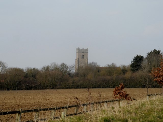
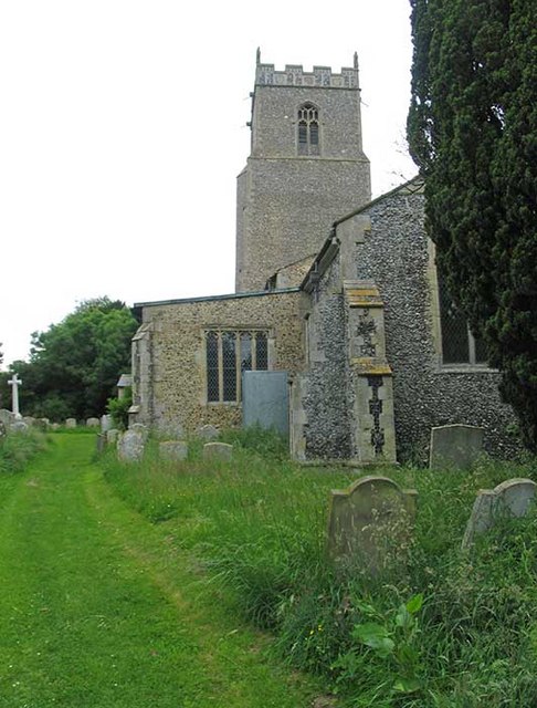
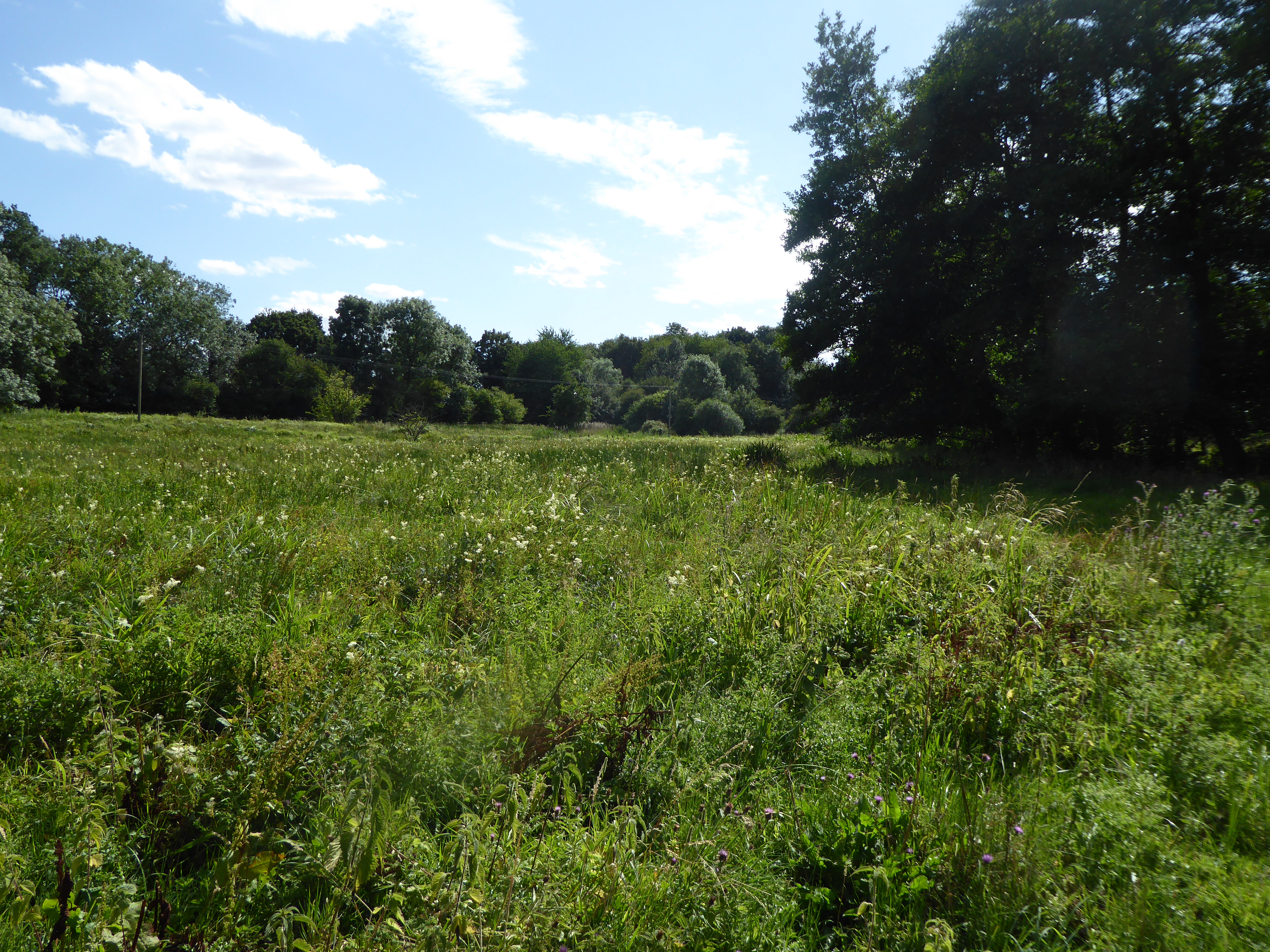
Cordwell Wood is a picturesque forest located in the county of Norfolk, England. Spanning approximately 50 acres, it is a popular destination for nature lovers and outdoor enthusiasts. The woodland is situated near the village of Cordwell, surrounded by rolling countryside and scenic landscapes.
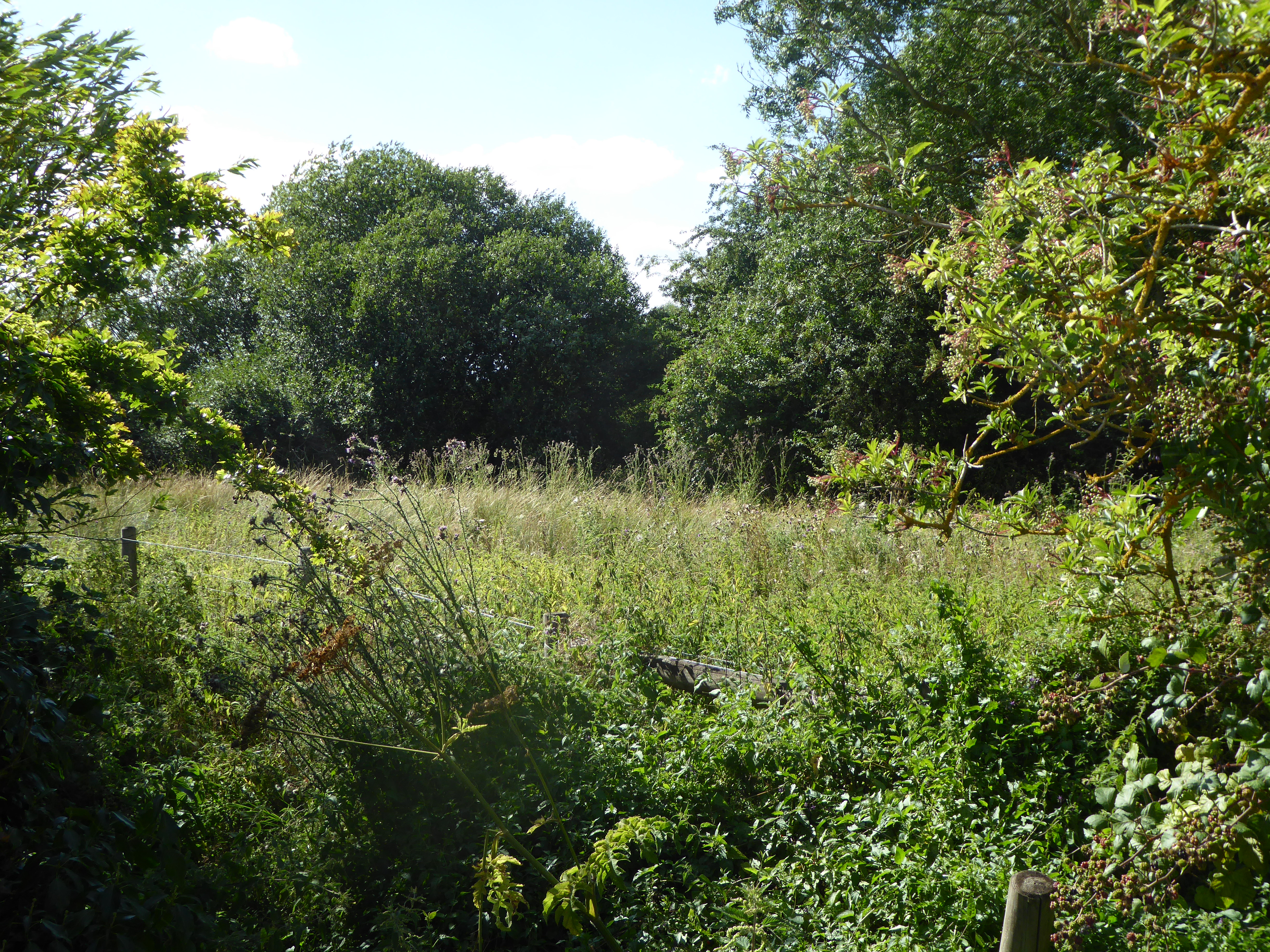
The wood is predominantly composed of native deciduous trees, including oak, beech, and birch, which create a vibrant and enchanting atmosphere throughout the year. In spring, the forest is adorned with a carpet of bluebells, creating a breathtaking sight for visitors. In autumn, the leaves of the trees turn various shades of red, orange, and gold, offering a stunning display of colors.
Cordwell Wood is home to a diverse range of wildlife, making it an excellent spot for birdwatching and nature photography. Bird species such as woodpeckers, owls, and various songbirds can be spotted within the forest. Additionally, small mammals like squirrels, rabbits, and hedgehogs are frequently seen scurrying through the undergrowth.
The woodland offers a network of well-maintained walking trails, allowing visitors to explore its beauty at their own pace. These paths lead visitors through sun-dappled glades, across babbling brooks, and up gentle slopes, providing a tranquil and immersive experience in nature.
Cordwell Wood is easily accessible, with a car park located nearby and public transportation options available. The forest is managed by a local conservation trust, ensuring the preservation of its natural beauty and the protection of its diverse flora and fauna.
If you have any feedback on the listing, please let us know in the comments section below.
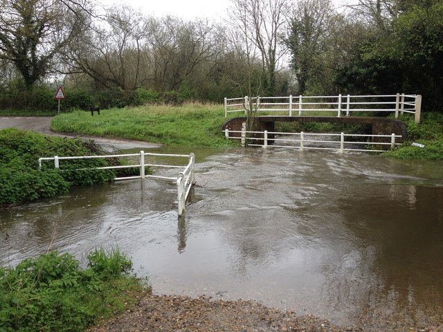
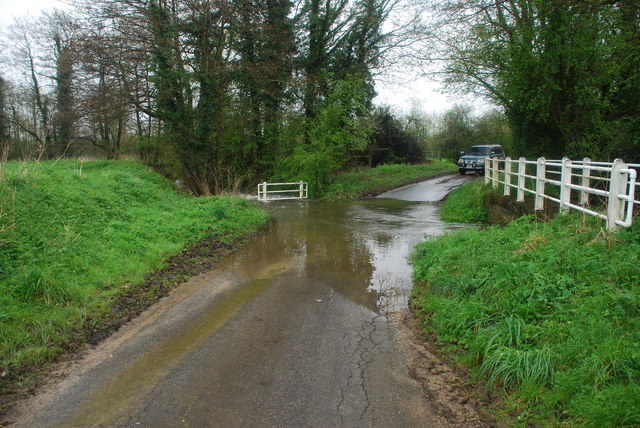
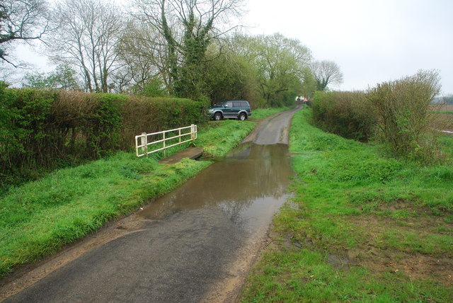
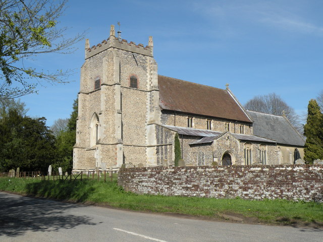
Cordwell Wood Images
Images are sourced within 2km of 52.490251/1.1429204 or Grid Reference TM1392. Thanks to Geograph Open Source API. All images are credited.


Cordwell Wood is located at Grid Ref: TM1392 (Lat: 52.490251, Lng: 1.1429204)
Administrative County: Norfolk
District: South Norfolk
Police Authority: Norfolk
What 3 Words
///perplexed.drifter.twitchy. Near Long Stratton, Norfolk
Nearby Locations
Related Wikis

Carleton Rode
Carleton Rode is a village and civil parish in Norfolk, England. It is situated approximately five miles south-east of Attleborough. In the 2011 Census...

Bunwell
Bunwell is a parish (population 1024) situated in the county of Norfolk, England, approximately 7 miles south-east of Attleborough. The parish includes...
Aslacton Parish Land
Aslacton Parish Land is a 4.4-hectare (11-acre) biological Site of Special Scientific Interest west of Long Stratton in Norfolk.This site has wet and dry...

Tacolneston
Tacolneston () is a village and civil parish in the South Norfolk District of Norfolk with a population of around 700, measured at the 2011 Census as a...

Aslacton
Aslacton is a village and civil parish in the English county of Norfolk. It is situated between Norwich and Diss, and is near Great Moulton. The closest...

Tacolneston Hall
Tacolneston Hall, in the village of Tacolneston in the county of Norfolk, has been the home of the Boileau baronets since the baronetcy was created in...
Tibenham, Norfolk
Tibenham is a village and civil parish located in the Depwade district of South Norfolk, England. The parish is 2 miles (3.2 km) north west of Tivetshall...
Forncett Meadows
Forncett Meadows is a 5.2-hectare (13-acre) biological Site of Special Scientific Interest west of Long Stratton in Norfolk.This site in the valley of...
Nearby Amenities
Located within 500m of 52.490251,1.1429204Have you been to Cordwell Wood?
Leave your review of Cordwell Wood below (or comments, questions and feedback).