Ash Plantation
Wood, Forest in Norfolk Broadland
England
Ash Plantation
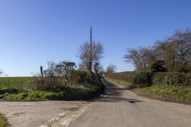
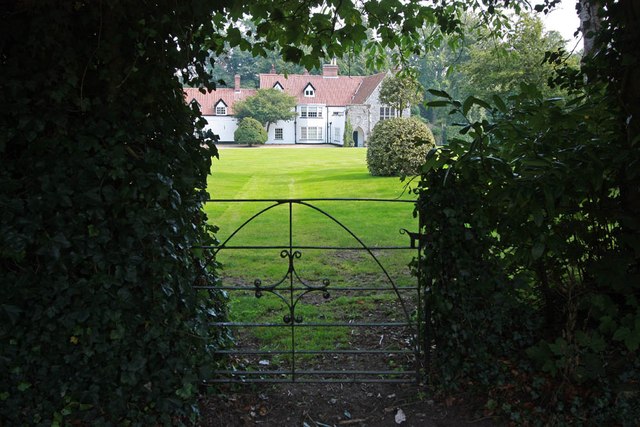
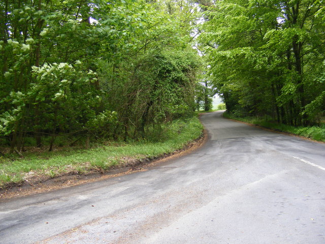
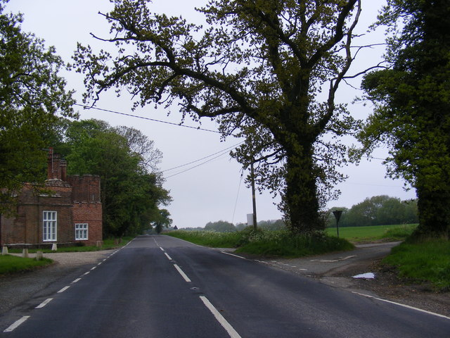
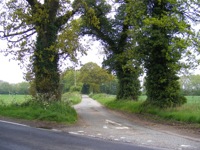
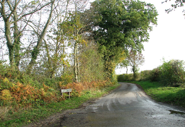
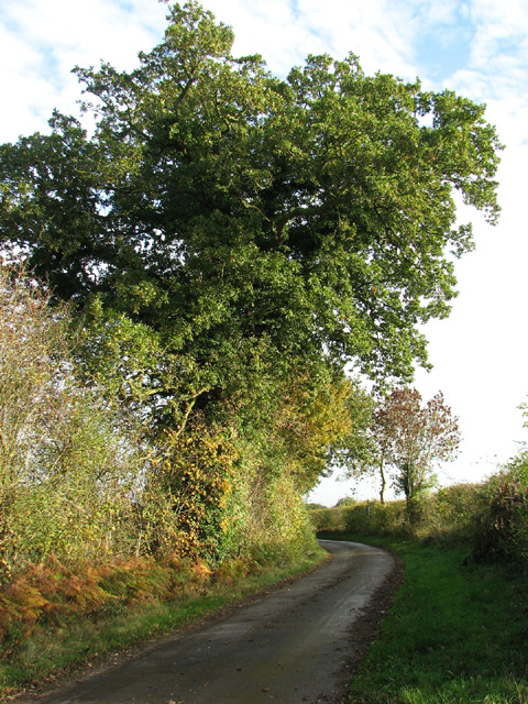
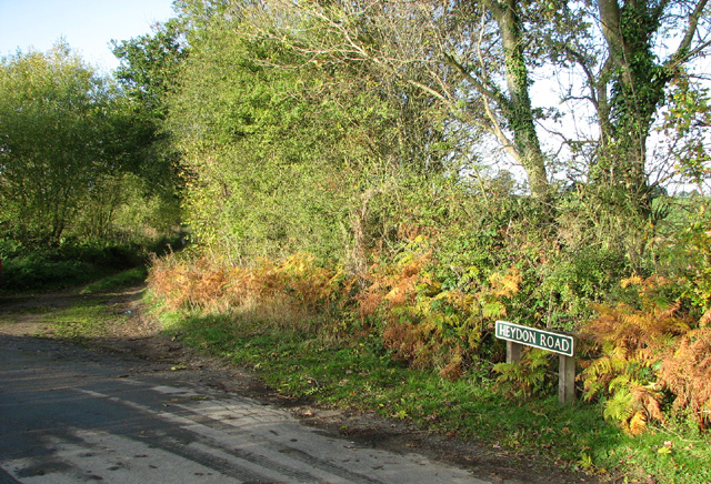
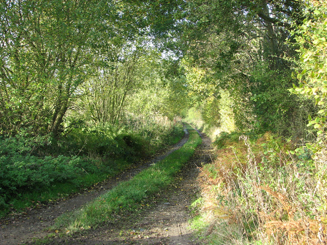
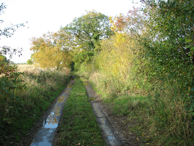
Ash Plantation is a charming woodland located in Norfolk, England. Nestled in the heart of the county, this forested area covers a vast expanse of approximately 200 acres. The plantation is renowned for its picturesque beauty, offering visitors a tranquil escape from the bustling city life.
The dominant tree species found in the plantation is the ash tree, hence its name. These majestic trees create a dense canopy overhead, providing shade and shelter for a diverse range of flora and fauna. The forest floor is adorned with a vibrant carpet of wildflowers and ferns, adding to the enchanting ambiance of the woodland.
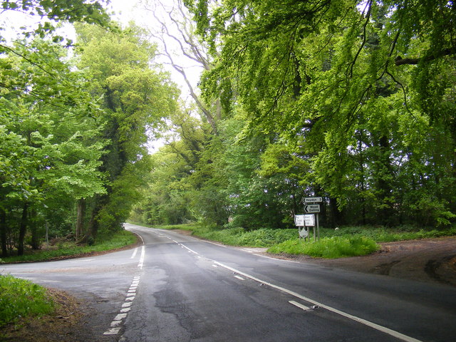
Ash Plantation is a haven for nature enthusiasts and outdoor adventurers alike. It offers an extensive network of well-maintained trails, allowing visitors to explore the plantation at their own pace. Hikers can choose from a variety of paths, ranging from leisurely strolls to more challenging hikes. The trails wind through the forest, revealing hidden gems such as babbling brooks, ancient stone walls, and occasional panoramic views of the surrounding countryside.
The plantation is also home to a rich array of wildlife. Birdwatchers will delight in the chance to spot a variety of avian species, including woodpeckers, owls, and warblers. Small mammals such as rabbits, squirrels, and hedgehogs can also be spotted darting through the undergrowth.
Ash Plantation offers a serene and idyllic setting for those seeking solace in nature. With its lush greenery, diverse wildlife, and well-maintained trails, it is truly a gem in the Norfolk countryside.
If you have any feedback on the listing, please let us know in the comments section below.
Ash Plantation Images
Images are sourced within 2km of 52.808414/1.1635802 or Grid Reference TG1328. Thanks to Geograph Open Source API. All images are credited.

Ash Plantation is located at Grid Ref: TG1328 (Lat: 52.808414, Lng: 1.1635802)
Administrative County: Norfolk
District: Broadland
Police Authority: Norfolk
What 3 Words
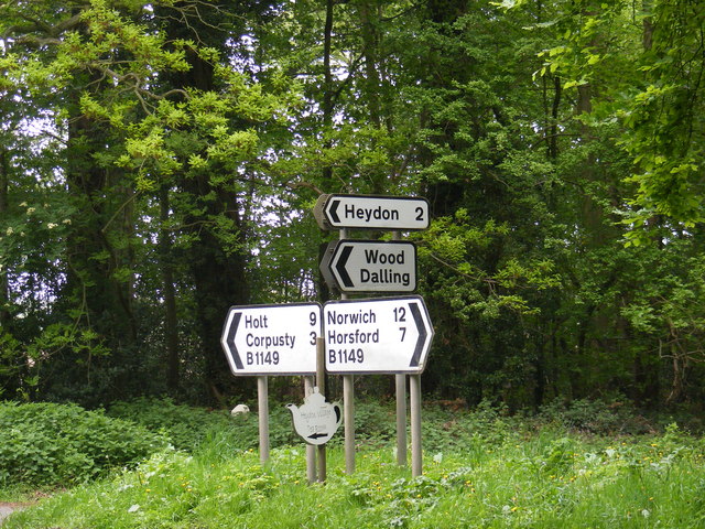
///agenda.incurring.bouncing. Near Cawston, Norfolk
Nearby Locations
Related Wikis

Oulton, Norfolk
Oulton is a village and civil parish in Norfolk, England. Nearby towns are Reepham and Aylsham. The parish covers an area of 10.58 km2 (4.08 sq mi) and...

Bluestone railway station
Bluestone railway station was a station in Norfolk, England. It was on the Midland and Great Northern Joint Railway between Corpusty and Aylsham North...

RAF Oulton
Royal Air Force Oulton or more simply RAF Oulton is a former Royal Air Force satellite station located 3 miles (4.8 km) west of Aylsham, Norfolk and 12...

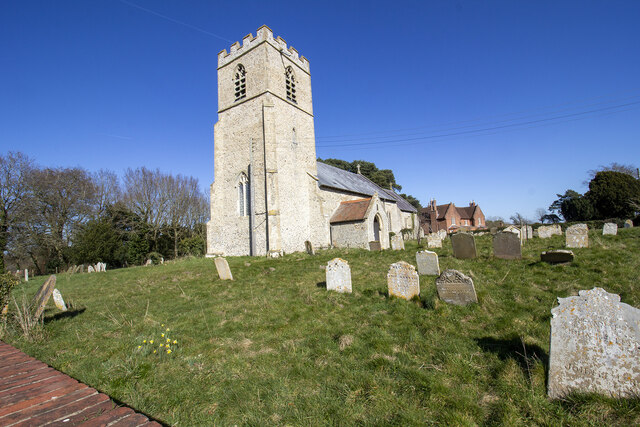
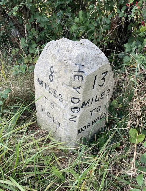
Heydon, Norfolk
Heydon is a village and civil parish in Norfolk, England. It is located 3 miles (4.8 km) north of the market town of Reepham. The village can be accessed...
Itteringham
Itteringham is a village and civil parish in the English county of Norfolk, some 4+1⁄2 miles (7.2 km) northwest of the market town of Aylsham. It covers...

Corpusty and Saxthorpe railway station
Corpusty and Saxthorpe railway station was a railway station in the North Norfolk village of Corpusty. It was opened by the Eastern & Midlands Railway...

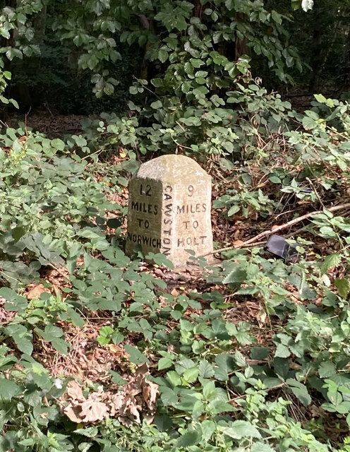
Saxthorpe
Saxthorpe is a village in Norfolk, England. The village is 12 miles (19 km) west south west of Cromer and 16.3 miles (26.2 km) north north west of Norwich...
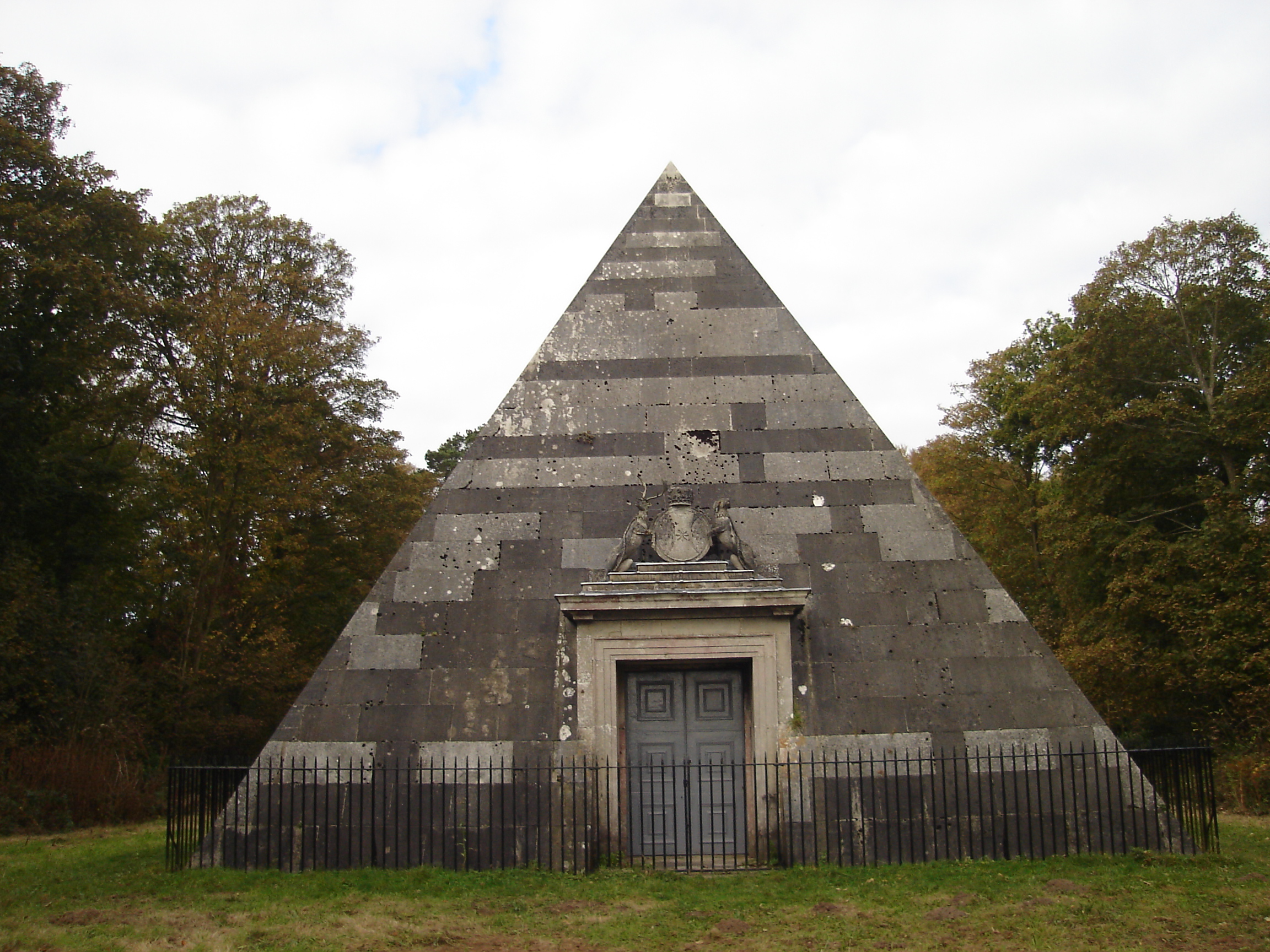
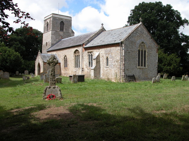
Blickling Park mausoleum
The Blickling Park mausoleum is a Grade II* listed building in the grounds of Blickling Hall, Norfolk, England. It was commissioned in 1793 by Lady Caroline...
Nearby Amenities
Located within 500m of 52.808414,1.1635802Have you been to Ash Plantation?
Leave your review of Ash Plantation below (or comments, questions and feedback).