Round Down Wood
Wood, Forest in Kent Shepway
England
Round Down Wood
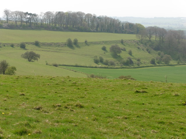
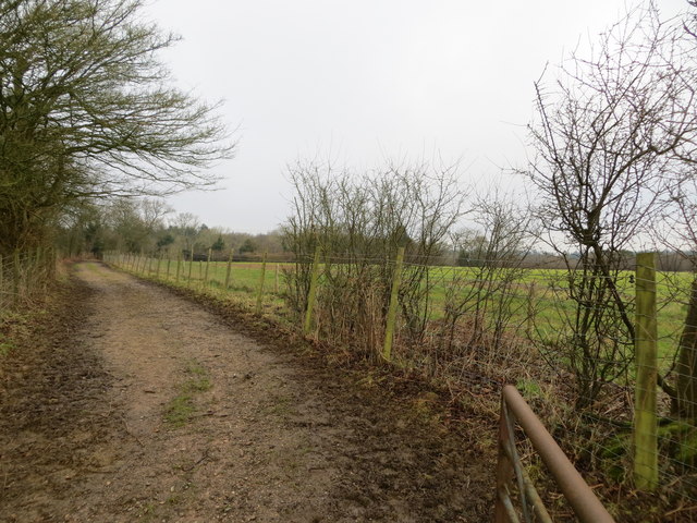
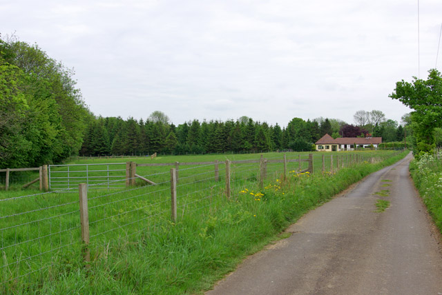
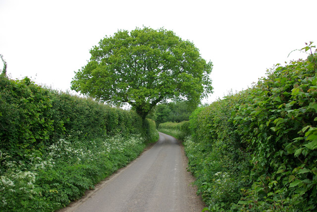
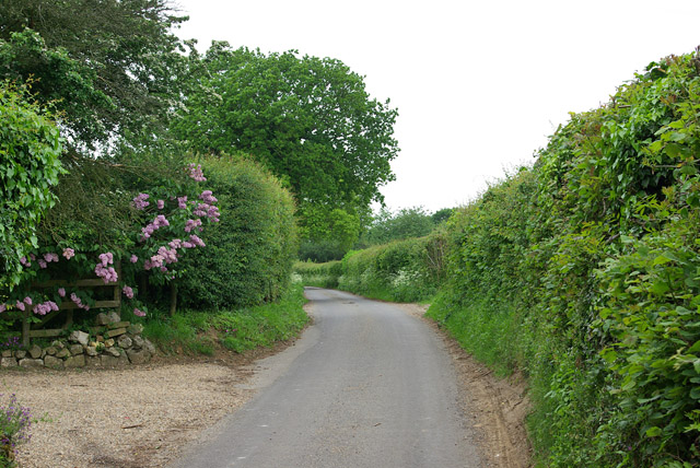
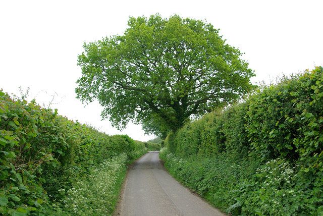
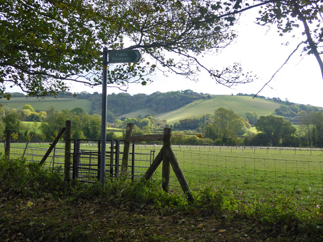
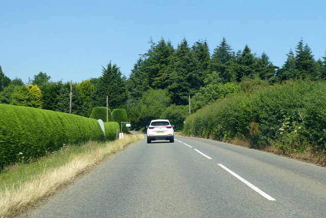
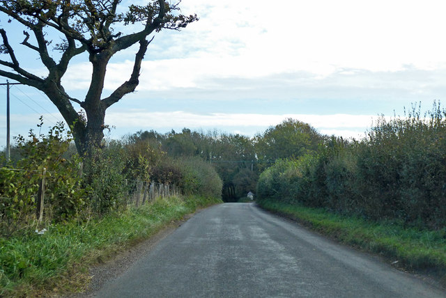
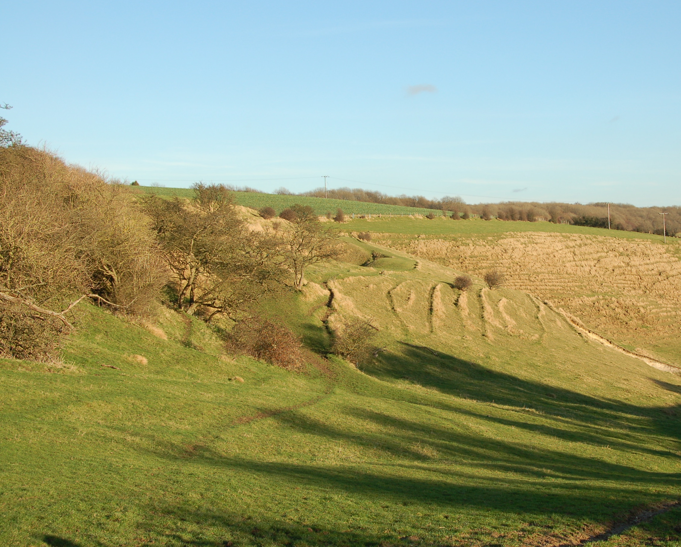
Round Down Wood, Kent is a picturesque forest located in the southeastern region of England. Covering an expansive area of approximately 500 acres, this woodland is a haven for nature lovers and outdoor enthusiasts alike. The wood is situated near the village of Wood, which is known for its tranquil ambiance and close proximity to the Kent Downs Area of Outstanding Natural Beauty.
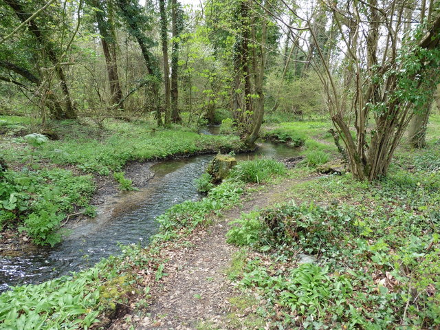
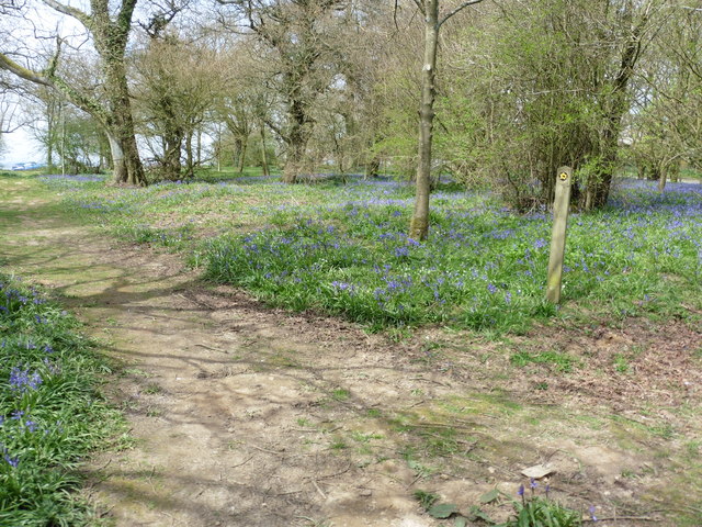
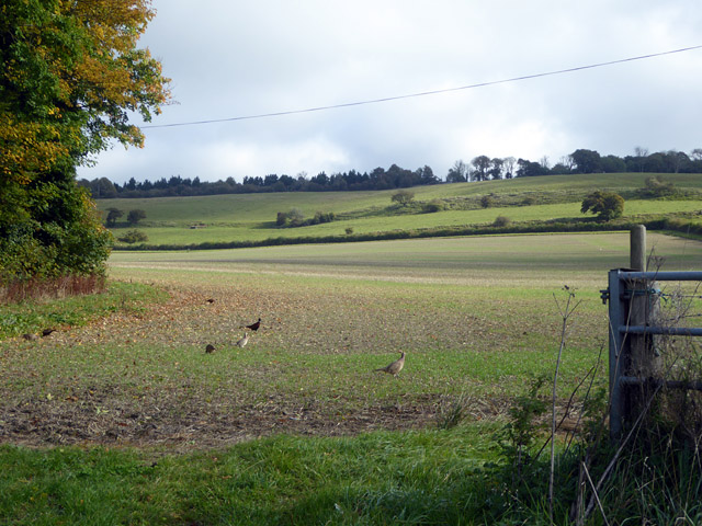
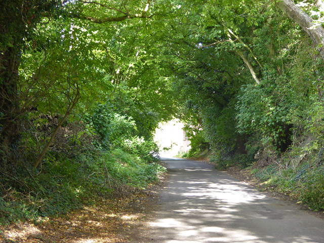
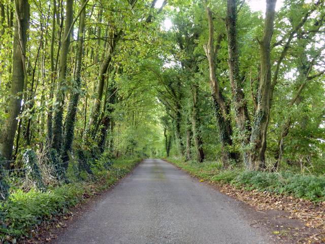
Round Down Wood is primarily made up of a diverse range of deciduous trees, including oak, beech, and chestnut, which create a rich and vibrant canopy. The forest floor is adorned with a tapestry of wildflowers, ferns, and mosses, lending an enchanting and magical atmosphere to the wood. The area is also home to a variety of wildlife, including deer, foxes, badgers, and numerous species of birds, making it a popular destination for wildlife enthusiasts and photographers.
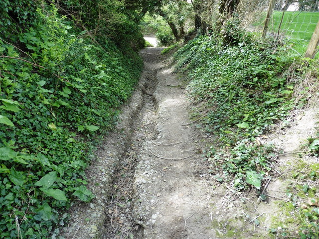
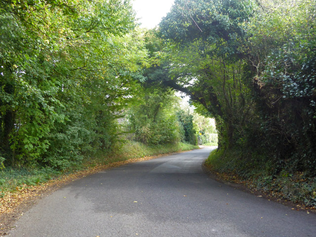
For visitors seeking outdoor activities, Round Down Wood offers several well-maintained walking trails that wind through the forest, allowing visitors to immerse themselves in the natural beauty of the surroundings. These trails cater to all levels of fitness and provide opportunities for leisurely strolls, brisk hikes, or even trail running.
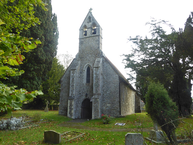
Round Down Wood is not only a haven for nature and outdoor activities, but it also holds historical significance. The wood has ancient origins and has been preserved and protected by the local community and conservation organizations to ensure its longevity and ecological importance.
In conclusion, Round Down Wood, Kent is a captivating forest that offers visitors a chance to connect with nature, explore its diverse flora and fauna, and enjoy outdoor activities in a serene and idyllic setting.
If you have any feedback on the listing, please let us know in the comments section below.
Round Down Wood Images
Images are sourced within 2km of 51.135216/1.0478696 or Grid Reference TR1341. Thanks to Geograph Open Source API. All images are credited.

Round Down Wood is located at Grid Ref: TR1341 (Lat: 51.135216, Lng: 1.0478696)
Administrative County: Kent
District: Shepway
Police Authority: Kent
What 3 Words
///crypt.extent.swift. Near Lyminge, Kent
Nearby Locations
Related Wikis
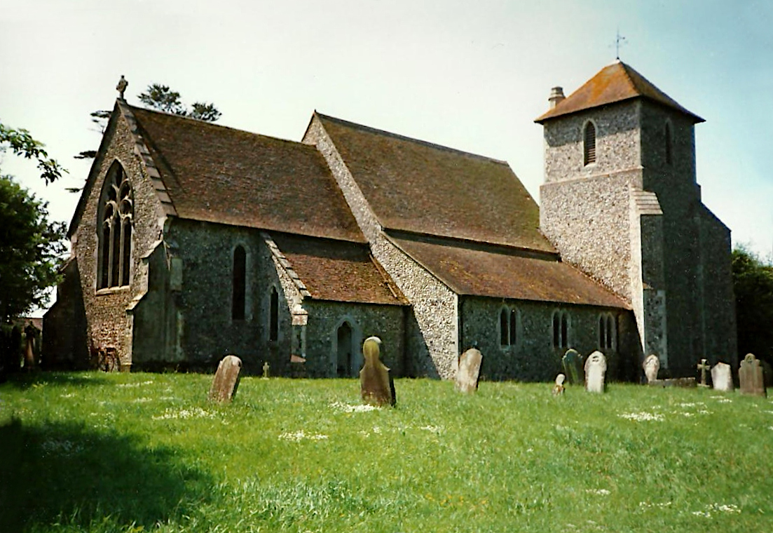
Stowting
Stowting is a village and civil parish in the English county of Kent. It is 6 miles (9.7 km) east of Ashford, 7 miles (11 km) north-west of Folkestone...
Farthing Common
Farthing Common is an area of common land about 10 km northwest of Folkestone in East Kent. It is one of the highest points of the North Downs at 185 metres...

Rhodes Minnis
Rhodes Minnis is a village near Folkestone in Kent, England, located between Lyminge and Stelling Minnis. It is in the civil parish of Elham. It was a...

Monks Horton
Monks Horton is a small civil parish in the Folkestone and Hythe district of Kent, England. It is located 3 miles (5 km) north of Hythe. Within the civil...
Sibton Park Cricket Club
== Brief history == In 1897 Captain John Howard bought Sibton Park House and its surrounding estate. He was the owner of Chartham Paper Mills and a Member...
Lyminge Abbey
Lyminge Abbey was an abbey about four miles northwest of Folkestone on the south coast of Kent. It was one of the first religious houses to be founded...
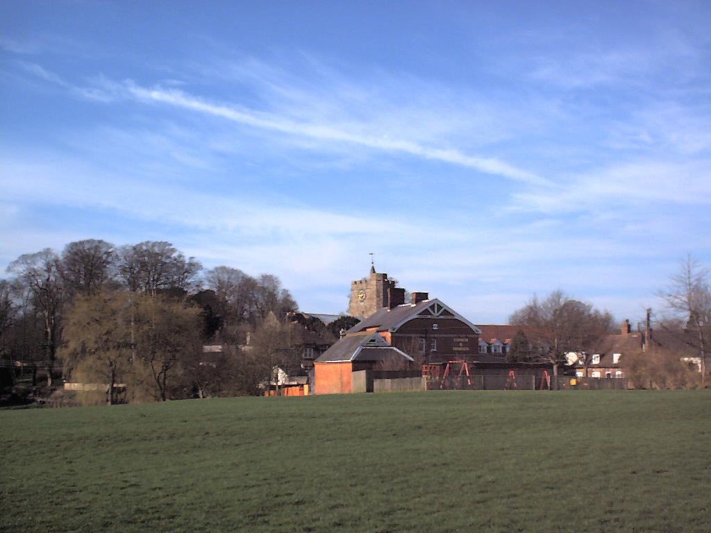
Lyminge
Lyminge is a village in southeast Kent, England. It lies about five miles (8 km) from Folkestone and the Channel Tunnel, on the road passing through the...

Postling
Postling is a village and civil parish situated near the Roman road of Stone Street, about 17 miles (27 km) south of Canterbury, Kent, in South East England...
Nearby Amenities
Located within 500m of 51.135216,1.0478696Have you been to Round Down Wood?
Leave your review of Round Down Wood below (or comments, questions and feedback).