Mintey's Wood

Wood, Forest in Kent Canterbury

England

Mintey's Wood

Thornden Wood Road through Thornden Wood This is looking south from the entrance to the West Blean  & Thornden Woods Car Park.
Thornden Wood Road through Thornden Wood Credit: Marathon

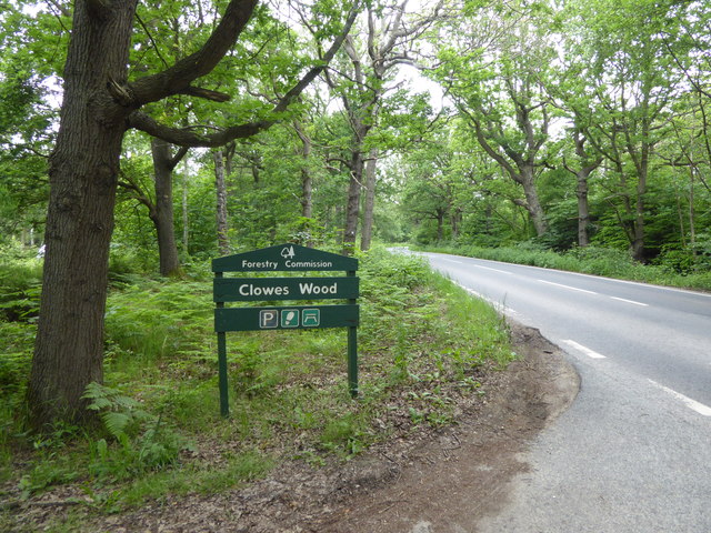
Mintey's Wood is a picturesque forest located in the county of Kent, England. Situated near the village of Mintey, the wood spans an area of approximately 100 acres and is a popular destination for nature enthusiasts and hikers alike.

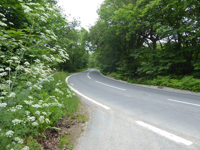
The woodland is characterized by its diverse range of flora and fauna, with a mix of deciduous and evergreen trees creating a vibrant and lush environment. Oak, beech, and birch trees dominate the landscape, providing a canopy of shade during the summer months. The forest floor is covered in a carpet of bluebells and wildflowers, creating a stunning display of color in the spring.

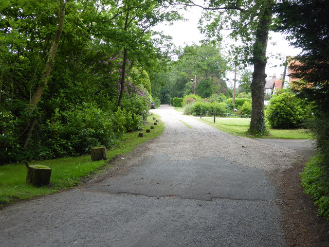
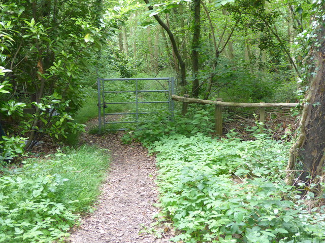
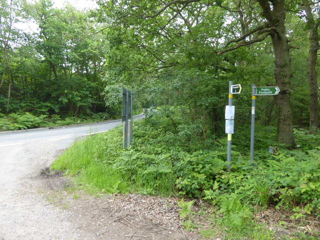
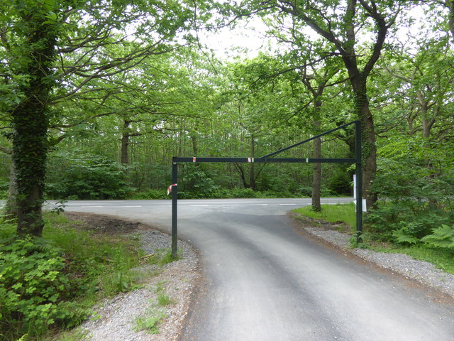
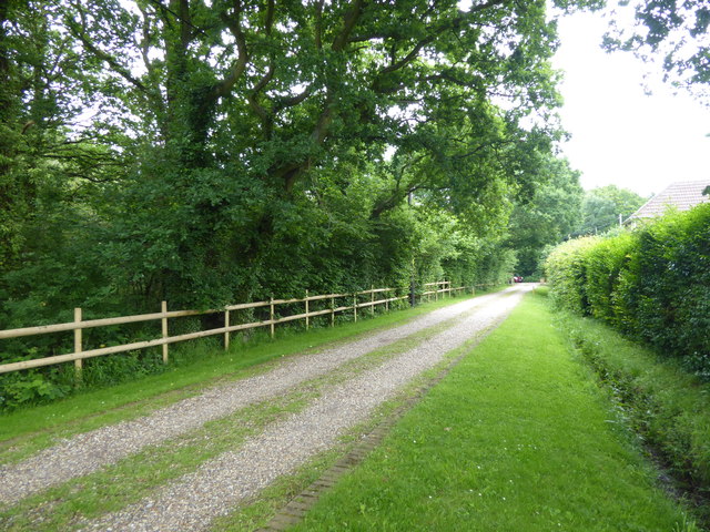
The wood offers a variety of walking trails and paths that wind their way through the forest, allowing visitors to explore its beauty at their own pace. These trails are well-maintained and clearly marked, making it easy for both experienced hikers and beginners to navigate through the woodland.

Mintey's Wood is also home to a diverse range of wildlife. Red squirrels can often be spotted darting through the trees, while badgers and foxes make their homes in the undergrowth. The forest is also a haven for birdwatchers, with species such as woodpeckers, owls, and jays frequently sighted.

For those seeking a tranquil escape from the hustle and bustle of daily life, Mintey's Wood provides the perfect setting. Whether it's a leisurely stroll through the forest, a picnic amongst the trees, or simply soaking in the natural beauty, this charming woodland offers a peaceful and rejuvenating experience for visitors of all ages.

If you have any feedback on the listing, please let us know in the comments section below.

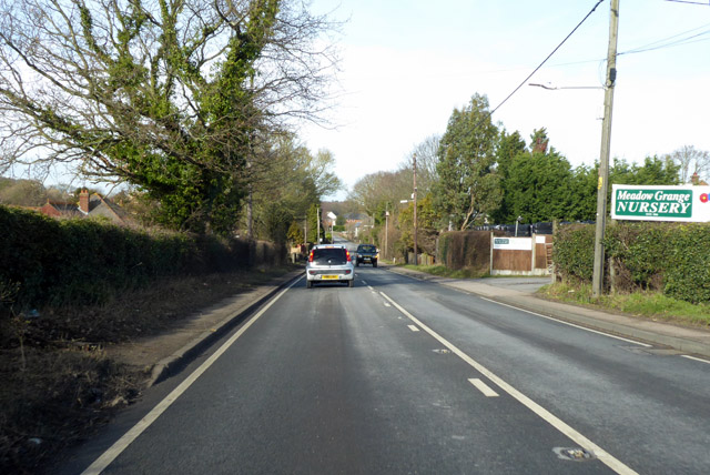
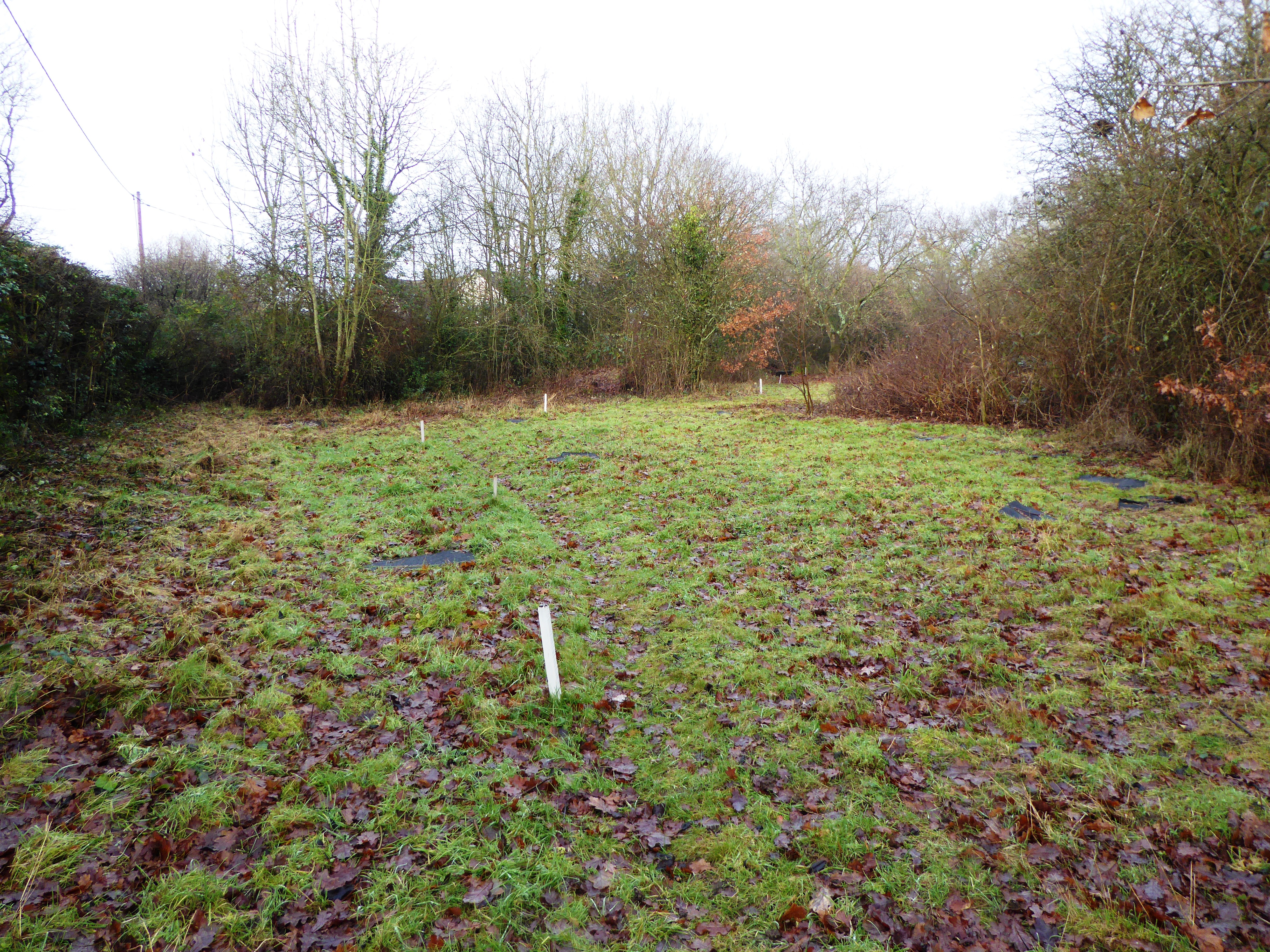
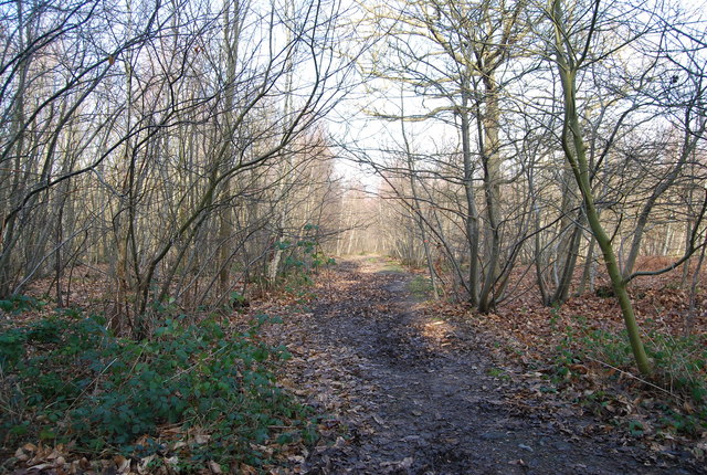
Mintey's Wood Images

Images are sourced within 2km of 51.321935/1.0602677 or Grid Reference TR1362. Thanks to Geograph Open Source API. All images are credited.

Thornden Wood Road through Thornden Wood This is looking south from the entrance to the West Blean  & Thornden Woods Car Park.
Thornden Wood Road through Thornden Wood
This is looking south from the entrance to the West Blean & Thornden Woods Car Park.
Path into Thornden Wood This is looking west from the West Blean & Thornden Woods Car Park into Thornden Wood. West Blean and Thornden Woods are managed by Kent Wildlife Trust. They are a Site of Special Scientific Interest and in July 2022, as part of the Wilder Blean project, European bison were released into West Blean and Thornden Woods - see <span class="nowrap"><a title="https://en.wikipedia.org/wiki/West_Blean_and_Thornden_Woods" rel="nofollow ugc noopener" href="https://en.wikipedia.org/wiki/West_Blean_and_Thornden_Woods">Link</a><img style="margin-left:2px;" alt="External link" title="External link - shift click to open in new window" src="https://s1.geograph.org.uk/img/external.png" width="10" height="10"/></span>
Path into Thornden Wood
This is looking west from the West Blean & Thornden Woods Car Park into Thornden Wood. West Blean and Thornden Woods are managed by Kent Wildlife Trust. They are a Site of Special Scientific Interest and in July 2022, as part of the Wilder Blean project, European bison were released into West Blean and Thornden Woods - see LinkExternal link
Path into Thornden Wood West Blean and Thornden Woods are managed by Kent Wildlife Trust. They are a Site of Special Scientific Interest and in July 2022, as part of the Wilder Blean project, European bison were released into West Blean and Thornden Woods - see <span class="nowrap"><a title="https://en.wikipedia.org/wiki/West_Blean_and_Thornden_Woods" rel="nofollow ugc noopener" href="https://en.wikipedia.org/wiki/West_Blean_and_Thornden_Woods">Link</a><img style="margin-left:2px;" alt="External link" title="External link - shift click to open in new window" src="https://s1.geograph.org.uk/img/external.png" width="10" height="10"/></span>
Path into Thornden Wood
West Blean and Thornden Woods are managed by Kent Wildlife Trust. They are a Site of Special Scientific Interest and in July 2022, as part of the Wilder Blean project, European bison were released into West Blean and Thornden Woods - see LinkExternal link
A290 past Meadow Grange Nursery Heading towards Whitstable.
A290 past Meadow Grange Nursery
Heading towards Whitstable.
Broomfield Gate This is a private road off Radfall Hill and on the edge of Thornden Wood.
Broomfield Gate
This is a private road off Radfall Hill and on the edge of Thornden Wood.
Entrance to Thornden Wood There is extensive woodland in this area between Chestfield and Canterbury. It is part of Blean Wood National Nature Reserve - see <span class="nowrap"><a title="https://explorekent.org/activities/blean-woods-national-nature-reserve/" rel="nofollow ugc noopener" href="https://explorekent.org/activities/blean-woods-national-nature-reserve/">Link</a><img style="margin-left:2px;" alt="External link" title="External link - shift click to open in new window" src="https://s1.geograph.org.uk/img/external.png" width="10" height="10"/></span>  This entrance to Thornden Wood is where the private Broomfield Gate meets Radfall Hill.
Entrance to Thornden Wood
There is extensive woodland in this area between Chestfield and Canterbury. It is part of Blean Wood National Nature Reserve - see LinkExternal link This entrance to Thornden Wood is where the private Broomfield Gate meets Radfall Hill.
Footpaths into Clowes Wood Clowes Wood is one of several large woodlands north of Canterbury known as the Blean. This is one of the most important areas of ancient woodland in Britain, including woodland types of international importance. The Blean was traditionally coppiced and parts of Clowes Wood are still managed in this way. One of the rarer trees here is the small-leaved lime. It grows in just one location here but was once one of the commonest trees in southern England. Its decline is thought to be due to the effects of grazing animals and a change in the climate.

This looks along Radfall Road with Clowes Wood away to the right and Thornden Wood across the road to the left.

For more about Blean Wood National Nature Reserve - see <span class="nowrap"><a title="https://explorekent.org/activities/blean-woods-national-nature-reserve/" rel="nofollow ugc noopener" href="https://explorekent.org/activities/blean-woods-national-nature-reserve/">Link</a><img style="margin-left:2px;" alt="External link" title="External link - shift click to open in new window" src="https://s1.geograph.org.uk/img/external.png" width="10" height="10"/></span>
Footpaths into Clowes Wood
Clowes Wood is one of several large woodlands north of Canterbury known as the Blean. This is one of the most important areas of ancient woodland in Britain, including woodland types of international importance. The Blean was traditionally coppiced and parts of Clowes Wood are still managed in this way. One of the rarer trees here is the small-leaved lime. It grows in just one location here but was once one of the commonest trees in southern England. Its decline is thought to be due to the effects of grazing animals and a change in the climate. This looks along Radfall Road with Clowes Wood away to the right and Thornden Wood across the road to the left. For more about Blean Wood National Nature Reserve - see LinkExternal link
Radfall Road at Gypsy Corner Clowes Wood to the left here is one of several large woodlands north of Canterbury known as the Blean. This is one of the most important areas of ancient woodland in Britain, including woodland types of international importance. The Blean was traditionally coppiced and parts of Clowes Wood are still managed in this way. One of the rarer trees here is the small-leaved lime. It grows in just one location here but was once one of the commonest trees in southern England. Its decline is thought to be due to the effects of grazing animals and a change in the climate.

This looks along Radfall Road with Clowes Wood on the left and Thornden Wood across the road to the right.

For more about Blean Wood National Nature Reserve - see <span class="nowrap"><a title="https://explorekent.org/activities/blean-woods-national-nature-reserve/" rel="nofollow ugc noopener" href="https://explorekent.org/activities/blean-woods-national-nature-reserve/">Link</a><img style="margin-left:2px;" alt="External link" title="External link - shift click to open in new window" src="https://s1.geograph.org.uk/img/external.png" width="10" height="10"/></span>
Radfall Road at Gypsy Corner
Clowes Wood to the left here is one of several large woodlands north of Canterbury known as the Blean. This is one of the most important areas of ancient woodland in Britain, including woodland types of international importance. The Blean was traditionally coppiced and parts of Clowes Wood are still managed in this way. One of the rarer trees here is the small-leaved lime. It grows in just one location here but was once one of the commonest trees in southern England. Its decline is thought to be due to the effects of grazing animals and a change in the climate. This looks along Radfall Road with Clowes Wood on the left and Thornden Wood across the road to the right. For more about Blean Wood National Nature Reserve - see LinkExternal link
Entrance to Clowes Wood Clowes Wood is one of several large woodlands north of Canterbury known as the Blean. This is one of the most important areas of ancient woodland in Britain, including woodland types of international importance. The Blean was traditionally coppiced and parts of Clowes Wood are still managed in this way. One of the rarer trees here is the small-leaved lime. It grows in just one location here but was once one of the commonest trees in southern England. Its decline is thought to be due to the effects of grazing animals and a change in the climate.

This looks along Radfall Road with Clowes Wood away to the left and Thornden Wood across the road to the right.

For more about Blean Wood National Nature Reserve - see <span class="nowrap"><a title="https://explorekent.org/activities/blean-woods-national-nature-reserve/" rel="nofollow ugc noopener" href="https://explorekent.org/activities/blean-woods-national-nature-reserve/">Link</a><img style="margin-left:2px;" alt="External link" title="External link - shift click to open in new window" src="https://s1.geograph.org.uk/img/external.png" width="10" height="10"/></span>
Entrance to Clowes Wood
Clowes Wood is one of several large woodlands north of Canterbury known as the Blean. This is one of the most important areas of ancient woodland in Britain, including woodland types of international importance. The Blean was traditionally coppiced and parts of Clowes Wood are still managed in this way. One of the rarer trees here is the small-leaved lime. It grows in just one location here but was once one of the commonest trees in southern England. Its decline is thought to be due to the effects of grazing animals and a change in the climate. This looks along Radfall Road with Clowes Wood away to the left and Thornden Wood across the road to the right. For more about Blean Wood National Nature Reserve - see LinkExternal link
Exit from Clowes Wood on to Radfall Road Clowes Wood is one of several large woodlands north of Canterbury known as the Blean. This is one of the most important areas of ancient woodland in Britain, including woodland types of international importance. The Blean was traditionally coppiced and parts of Clowes Wood are still managed in this way. One of the rarer trees here is the small-leaved lime. It grows in just one location here but was once one of the commonest trees in southern England. Its decline is thought to be due to the effects of grazing animals and a change in the climate.

This looks across Radfall Road from the edge of Clowes Wood to Thornden Wood across the road.

For more about Blean Wood National Nature Reserve - see <span class="nowrap"><a title="https://explorekent.org/activities/blean-woods-national-nature-reserve/" rel="nofollow ugc noopener" href="https://explorekent.org/activities/blean-woods-national-nature-reserve/">Link</a><img style="margin-left:2px;" alt="External link" title="External link - shift click to open in new window" src="https://s1.geograph.org.uk/img/external.png" width="10" height="10"/></span>
Exit from Clowes Wood on to Radfall Road
Clowes Wood is one of several large woodlands north of Canterbury known as the Blean. This is one of the most important areas of ancient woodland in Britain, including woodland types of international importance. The Blean was traditionally coppiced and parts of Clowes Wood are still managed in this way. One of the rarer trees here is the small-leaved lime. It grows in just one location here but was once one of the commonest trees in southern England. Its decline is thought to be due to the effects of grazing animals and a change in the climate. This looks across Radfall Road from the edge of Clowes Wood to Thornden Wood across the road. For more about Blean Wood National Nature Reserve - see LinkExternal link
Route of the former Canterbury & Whitstable Railway The Canterbury & Whitstable Railway is often said to have been the first passenger railway in the world.  Construction of the 6 mile line took several years and work excavating the 828 yard Tyler Hill Tunnel proved difficult and lengthy. There were great celebrations for the opening on 3rd May 1830. In Canterbury, the cathedral bells were rung and guns were fired in salute.  

Sections of the line were so steeply graded that stationary engines were required to haul trains by cable up the steep ascents.  After the First World War, bus competition began to cause problems and the line to Whitstable finally closed to passengers on 1st January 1931. Goods traffic continued for a number of years but final closure came on 1st December 1952 after which time the track was removed.  A path now follows part of the old route and is known as the Crab & Winkle Way. Here though it is a private driveway to a house known appropriately as 'The Halt'. The Halt is now a private residence converted from an engineer's cottage.

This section of the old trackbed is particularly interesting as Blean & Tyler Hill Halt was located ahead between here and Tyler Hill Road. It was opened in 1908 and closed a mere 22 years later with the last passenger train. See <a title="https://www.geograph.org.uk/photo/1832585" href="https://www.geograph.org.uk/photo/1832585">Link</a>

See <span class="nowrap"><a title="http://www.bbc.co.uk/kent/content/articles/2008/05/27/history_lost_railway_feature.shtml" rel="nofollow ugc noopener" href="http://www.bbc.co.uk/kent/content/articles/2008/05/27/history_lost_railway_feature.shtml">Link</a><img style="margin-left:2px;" alt="External link" title="External link - shift click to open in new window" src="https://s1.geograph.org.uk/img/external.png" width="10" height="10"/></span>  and <span class="nowrap"><a title="https://en.wikipedia.org/wiki/Canterbury_and_Whitstable_Railway" rel="nofollow ugc noopener" href="https://en.wikipedia.org/wiki/Canterbury_and_Whitstable_Railway">Link</a><img style="margin-left:2px;" alt="External link" title="External link - shift click to open in new window" src="https://s1.geograph.org.uk/img/external.png" width="10" height="10"/></span>   and <span class="nowrap"><a title="http://crabandwinkle.org/?page_id=19" rel="nofollow ugc noopener" href="http://crabandwinkle.org/?page_id=19">Link</a><img style="margin-left:2px;" alt="External link" title="External link - shift click to open in new window" src="https://s1.geograph.org.uk/img/external.png" width="10" height="10"/></span>
Route of the former Canterbury & Whitstable Railway
The Canterbury & Whitstable Railway is often said to have been the first passenger railway in the world. Construction of the 6 mile line took several years and work excavating the 828 yard Tyler Hill Tunnel proved difficult and lengthy. There were great celebrations for the opening on 3rd May 1830. In Canterbury, the cathedral bells were rung and guns were fired in salute. Sections of the line were so steeply graded that stationary engines were required to haul trains by cable up the steep ascents. After the First World War, bus competition began to cause problems and the line to Whitstable finally closed to passengers on 1st January 1931. Goods traffic continued for a number of years but final closure came on 1st December 1952 after which time the track was removed. A path now follows part of the old route and is known as the Crab & Winkle Way. Here though it is a private driveway to a house known appropriately as 'The Halt'. The Halt is now a private residence converted from an engineer's cottage. This section of the old trackbed is particularly interesting as Blean & Tyler Hill Halt was located ahead between here and Tyler Hill Road. It was opened in 1908 and closed a mere 22 years later with the last passenger train. See Link See LinkExternal link and LinkExternal link and LinkExternal link
Old sign for the Canterbury & Whitstable Railway The Canterbury & Whitstable Railway is often said to have been the first passenger railway in the world.  Construction of the 6 mile line took several years and work excavating the 828 yard Tyler Hill Tunnel proved difficult and lengthy. There were great celebrations for the opening on 3rd May 1830. In Canterbury, the cathedral bells were rung and guns were fired in salute.  

Sections of the line were so steeply graded that stationary engines were required to haul trains by cable up the steep ascents.  After the First World War, bus competition began to cause problems and the line to Whitstable finally closed to passengers on 1st January 1931. Goods traffic continued for a number of years but final closure came on 1st December 1952 after which time the track was removed.  A path now follows part of the old route and is known as the Crab & Winkle Way. Here though it is alongside a private driveway to a house known appropriately as 'The Halt'. The old sign has survived - see <a title="https://www.geograph.org.uk/photo/5809263" href="https://www.geograph.org.uk/photo/5809263">Link</a>  for a close up. The Halt is now a private residence converted from an engineer's cottage. This section of the old trackbed is particularly interesting as Blean & Tyler Hill Halt was located between here and Tyler Hill Road just behind where I am standing. It was opened in 1908 and closed a mere 22 years later with the last passenger train. See <a title="https://www.geograph.org.uk/photo/1832585" href="https://www.geograph.org.uk/photo/1832585">Link</a>


See <span class="nowrap"><a title="http://www.bbc.co.uk/kent/content/articles/2008/05/27/history_lost_railway_feature.shtml" rel="nofollow ugc noopener" href="http://www.bbc.co.uk/kent/content/articles/2008/05/27/history_lost_railway_feature.shtml">Link</a><img style="margin-left:2px;" alt="External link" title="External link - shift click to open in new window" src="https://s1.geograph.org.uk/img/external.png" width="10" height="10"/></span>  and <span class="nowrap"><a title="https://en.wikipedia.org/wiki/Canterbury_and_Whitstable_Railway" rel="nofollow ugc noopener" href="https://en.wikipedia.org/wiki/Canterbury_and_Whitstable_Railway">Link</a><img style="margin-left:2px;" alt="External link" title="External link - shift click to open in new window" src="https://s1.geograph.org.uk/img/external.png" width="10" height="10"/></span>   and <span class="nowrap"><a title="http://crabandwinkle.org/?page_id=19" rel="nofollow ugc noopener" href="http://crabandwinkle.org/?page_id=19">Link</a><img style="margin-left:2px;" alt="External link" title="External link - shift click to open in new window" src="https://s1.geograph.org.uk/img/external.png" width="10" height="10"/></span>
Old sign for the Canterbury & Whitstable Railway
The Canterbury & Whitstable Railway is often said to have been the first passenger railway in the world. Construction of the 6 mile line took several years and work excavating the 828 yard Tyler Hill Tunnel proved difficult and lengthy. There were great celebrations for the opening on 3rd May 1830. In Canterbury, the cathedral bells were rung and guns were fired in salute. Sections of the line were so steeply graded that stationary engines were required to haul trains by cable up the steep ascents. After the First World War, bus competition began to cause problems and the line to Whitstable finally closed to passengers on 1st January 1931. Goods traffic continued for a number of years but final closure came on 1st December 1952 after which time the track was removed. A path now follows part of the old route and is known as the Crab & Winkle Way. Here though it is alongside a private driveway to a house known appropriately as 'The Halt'. The old sign has survived - see Link for a close up. The Halt is now a private residence converted from an engineer's cottage. This section of the old trackbed is particularly interesting as Blean & Tyler Hill Halt was located between here and Tyler Hill Road just behind where I am standing. It was opened in 1908 and closed a mere 22 years later with the last passenger train. See Link See LinkExternal link and LinkExternal link and LinkExternal link
Old railway sign The Canterbury & Whitstable Railway is often said to have been the first passenger railway in the world.  Construction of the 6 mile line took several years and work excavating the 828 yard Tyler Hill Tunnel proved difficult and lengthy. There were great celebrations for the opening on 3rd May 1830. In Canterbury, the cathedral bells were rung and guns were fired in salute.  

Sections of the line were so steeply graded that stationary engines were required to haul trains by cable up the steep ascents.  After the First World War, bus competition began to cause problems and the line to Whitstable finally closed to passengers on 1st January 1931. Goods traffic continued for a number of years but final closure came on 1st December 1952 after which time the track was removed.  

A path now follows part of the old route and is known as the Crab & Winkle Way. Here though it a private driveway to a house known appropriately as 'The Halt'. The Halt is now a private residence converted from an engineer's cottage. This section of the old trackbed is particularly interesting as Blean & Tyler Hill Halt was located between here and Tyler Hill Road just behind where I am standing. It was opened in 1908 and closed a mere 22 years later with the last passenger train. See <a title="https://www.geograph.org.uk/photo/1832585" href="https://www.geograph.org.uk/photo/1832585">Link</a>  The other reminder that this was once a railway is this old sign - see <a title="https://www.geograph.org.uk/photo/5809261" href="https://www.geograph.org.uk/photo/5809261">Link</a>  for its location.

See <span class="nowrap"><a title="http://www.bbc.co.uk/kent/content/articles/2008/05/27/history_lost_railway_feature.shtml" rel="nofollow ugc noopener" href="http://www.bbc.co.uk/kent/content/articles/2008/05/27/history_lost_railway_feature.shtml">Link</a><img style="margin-left:2px;" alt="External link" title="External link - shift click to open in new window" src="https://s1.geograph.org.uk/img/external.png" width="10" height="10"/></span>  and <span class="nowrap"><a title="https://en.wikipedia.org/wiki/Canterbury_and_Whitstable_Railway" rel="nofollow ugc noopener" href="https://en.wikipedia.org/wiki/Canterbury_and_Whitstable_Railway">Link</a><img style="margin-left:2px;" alt="External link" title="External link - shift click to open in new window" src="https://s1.geograph.org.uk/img/external.png" width="10" height="10"/></span>   and <span class="nowrap"><a title="http://crabandwinkle.org/?page_id=19" rel="nofollow ugc noopener" href="http://crabandwinkle.org/?page_id=19">Link</a><img style="margin-left:2px;" alt="External link" title="External link - shift click to open in new window" src="https://s1.geograph.org.uk/img/external.png" width="10" height="10"/></span>
Old railway sign
The Canterbury & Whitstable Railway is often said to have been the first passenger railway in the world. Construction of the 6 mile line took several years and work excavating the 828 yard Tyler Hill Tunnel proved difficult and lengthy. There were great celebrations for the opening on 3rd May 1830. In Canterbury, the cathedral bells were rung and guns were fired in salute. Sections of the line were so steeply graded that stationary engines were required to haul trains by cable up the steep ascents. After the First World War, bus competition began to cause problems and the line to Whitstable finally closed to passengers on 1st January 1931. Goods traffic continued for a number of years but final closure came on 1st December 1952 after which time the track was removed. A path now follows part of the old route and is known as the Crab & Winkle Way. Here though it a private driveway to a house known appropriately as 'The Halt'. The Halt is now a private residence converted from an engineer's cottage. This section of the old trackbed is particularly interesting as Blean & Tyler Hill Halt was located between here and Tyler Hill Road just behind where I am standing. It was opened in 1908 and closed a mere 22 years later with the last passenger train. See Link The other reminder that this was once a railway is this old sign - see Link for its location. See LinkExternal link and LinkExternal link and LinkExternal link
Footpath from Tyler Hill Road This footpath crosses the old route of the Canterbury & Whitstable Railway just ahead - see <a title="https://www.geograph.org.uk/photo/5809261" href="https://www.geograph.org.uk/photo/5809261">Link</a>  Beyond that it meets Fleets Lane.
Footpath from Tyler Hill Road
This footpath crosses the old route of the Canterbury & Whitstable Railway just ahead - see Link Beyond that it meets Fleets Lane.
Tyler Hill Tyler Hill is just to the north of the University of Kent campus. This is at the centre of the village with the village sign on Hackington Road.
Tyler Hill
Tyler Hill is just to the north of the University of Kent campus. This is at the centre of the village with the village sign on Hackington Road.
Hackington Road at Tyler Hill Tyler Hill is just to the north of the University of Kent campus. This is at the centre of the village with the village sign on Hackington Road.
Hackington Road at Tyler Hill
Tyler Hill is just to the north of the University of Kent campus. This is at the centre of the village with the village sign on Hackington Road.
Tyler Hill Tyler Hill is just to the north of the University of Kent campus. This is at the centre of the village with the village sign on Hackington Road. The village sign includes, of course, oast houses.
Tyler Hill
Tyler Hill is just to the north of the University of Kent campus. This is at the centre of the village with the village sign on Hackington Road. The village sign includes, of course, oast houses.
Calais Hill, Tyler Hill This is immediately west of the village centre of Tyler Hill - see <a title="https://www.geograph.org.uk/photo/5810136" href="https://www.geograph.org.uk/photo/5810136">Link</a>
Calais Hill, Tyler Hill
This is immediately west of the village centre of Tyler Hill - see Link
Show me another place!

Mintey's Wood is located at Grid Ref: TR1362 (Lat: 51.321935, Lng: 1.0602677)

Administrative County: Kent

District: Canterbury

Police Authority: Kent

What 3 Words

///wedge.passes.vowed. Near Blean, Kent

Nearby Locations

Mintey's Wood Sheafs Wood

Related Wikis

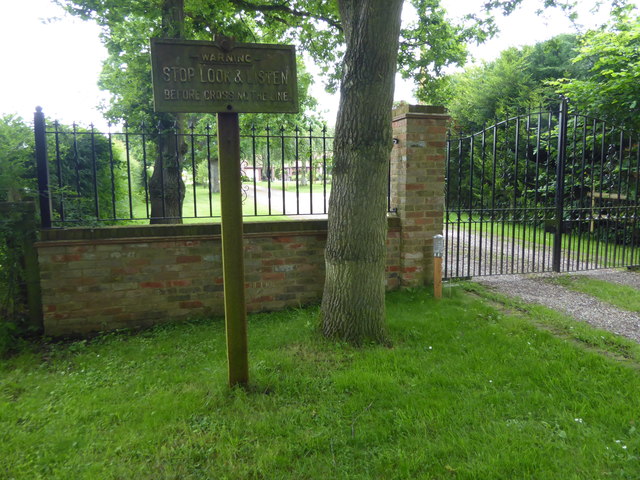
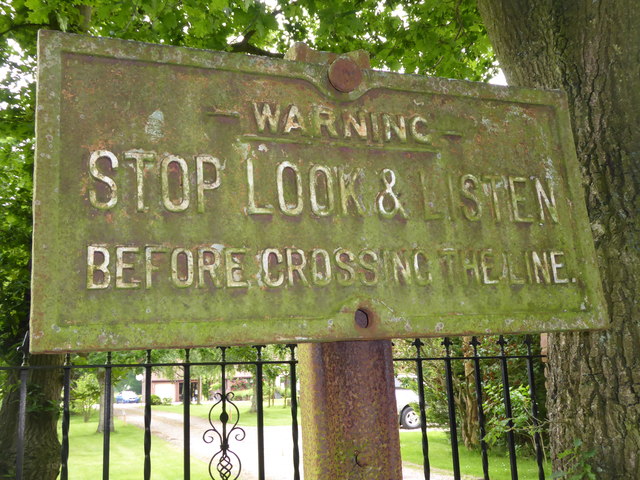
Blean and Tyler Hill Halt railway station

Blean and Tyler Hill Halt was a minor station on the Canterbury and Whitstable Railway at Tyler Hill, Kent. It opened in 1908 and closed in 1931. ��2...
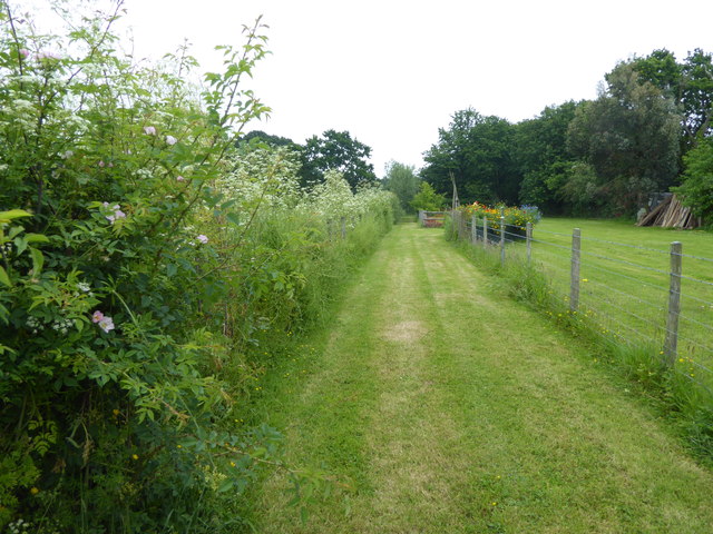
Tyler Hill Meadow

Tyler Hill Meadow is a 0.8-hectare (2.0-acre) Local Nature Reserve in Hackington, north of Canterbury in Kent. It is owned by Hackington Parish Council...

Hackington

Hackington is an area of Canterbury in Kent, England, also known (especially historically) as St Stephen's, incorporating the northern part of the city...
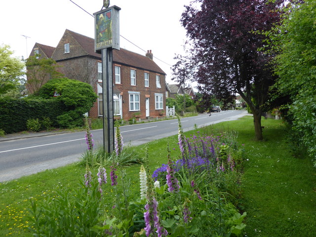
Tyler Hill, Kent

Tyler Hill is a small village on the northern outskirts of Canterbury, Kent in England. The population is included in the civil parish of Hackington. Its...

Radfall

Radfall is a hamlet between Whitstable and Canterbury, in southeast England. It lies between the Thanet Way and Thornden Wood, in the Canterbury district...

Honey Hill, Kent

Honey Hill is a hamlet on the A290 road, near the village of Blean, in the Canterbury district, in the English county of Kent.

West Blean and Thornden Woods

West Blean and Thornden Woods is a 781-hectare (1,930-acre) biological Site of Special Scientific Interest north of Canterbury in Kent. It is part of the...

Blean

Blean is a village and civil parish in the Canterbury district of Kent, England. The civil parish is large and is mostly woodland, much of which is ancient...

Nearby Amenities

Located within 500m of 51.321935,1.0602677
Power: tower
Source: Bing
Lat/Long: 51.3225349/1.0578298
Power: tower
Source: Bing
Lat/Long: 51.3210577/1.06193
Power: tower
Source: Bing
Lat/Long: 51.3235337/1.0551602
Power: tower
Source: Bing
Lat/Long: 51.3196052/1.0657828
Bench
Lat/Long: 51.3251057/1.0620275
The data included in this document is from www.openstreetmap.org. The data is made available under ODbL.

Have you been to Mintey's Wood?

Leave your review of Mintey's Wood below (or comments, questions and feedback).