Wick Wood
Wood, Forest in Kent Shepway
England
Wick Wood
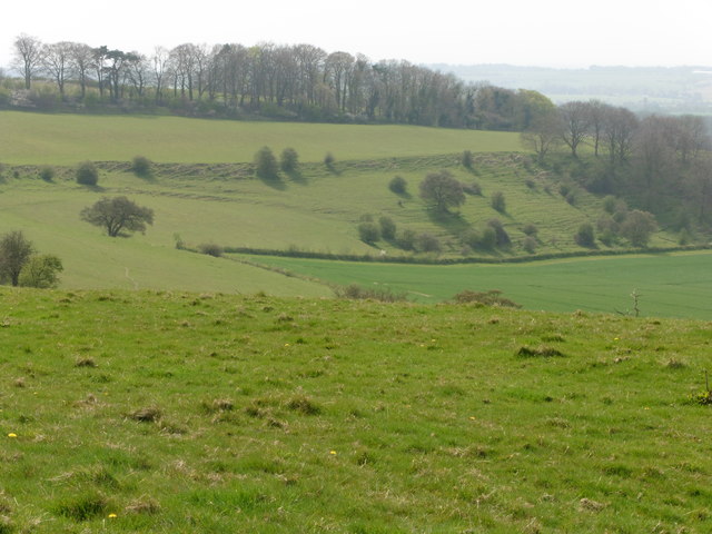
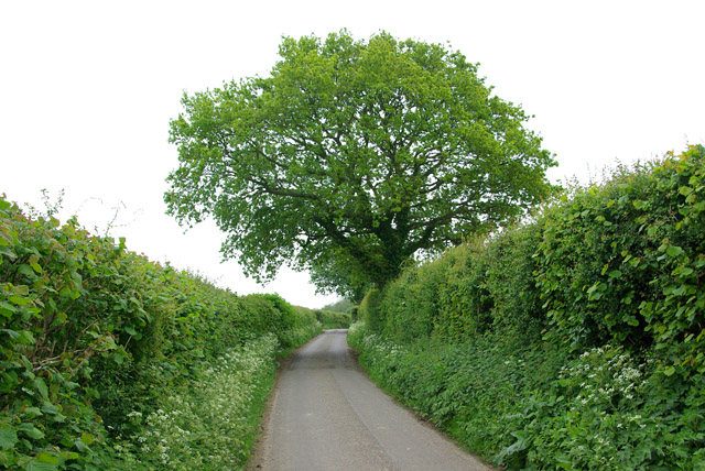
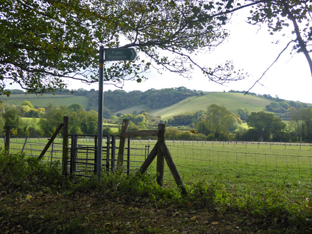
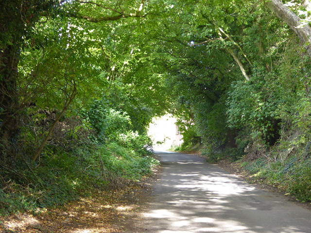
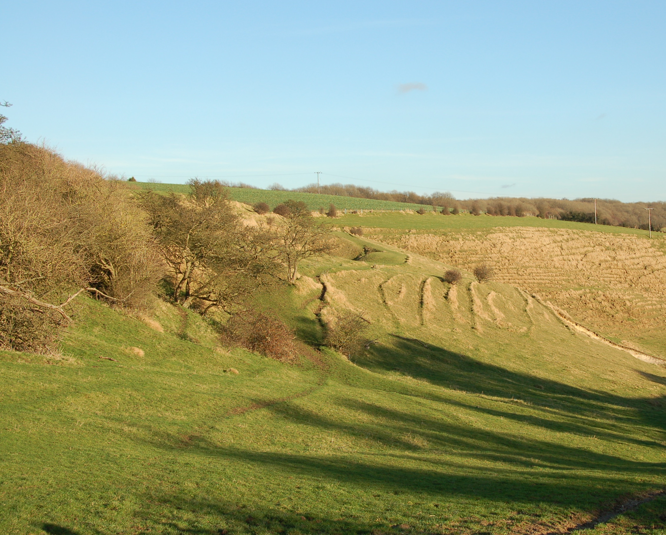
Wick Wood, located in Kent, England, is a picturesque forest that spans over a vast area. The wood is known for its stunning natural beauty, diverse flora, and rich wildlife. It is a popular destination for nature enthusiasts, hikers, and birdwatchers.
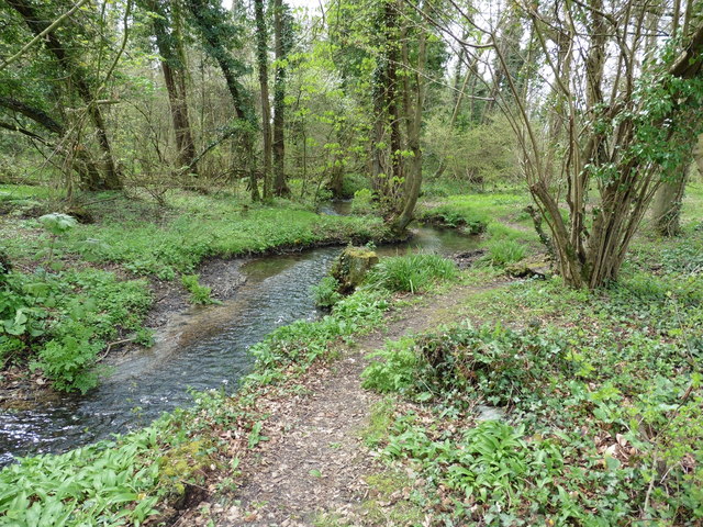
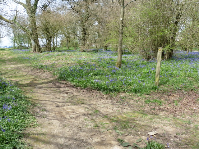
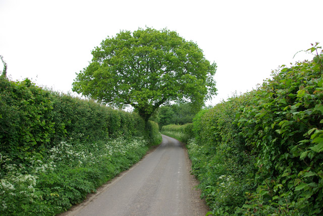
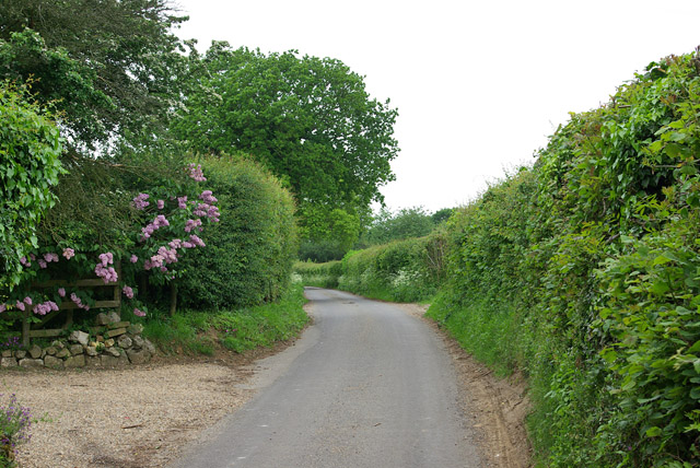
The wood is primarily composed of deciduous trees, including oak, beech, and ash, which create a lush and vibrant canopy. These trees provide a habitat for a wide variety of bird species, such as woodpeckers, nightingales, and tawny owls, making it a haven for birdwatchers. Additionally, the forest floor is adorned with an array of wildflowers and ferns during the spring and summer months.
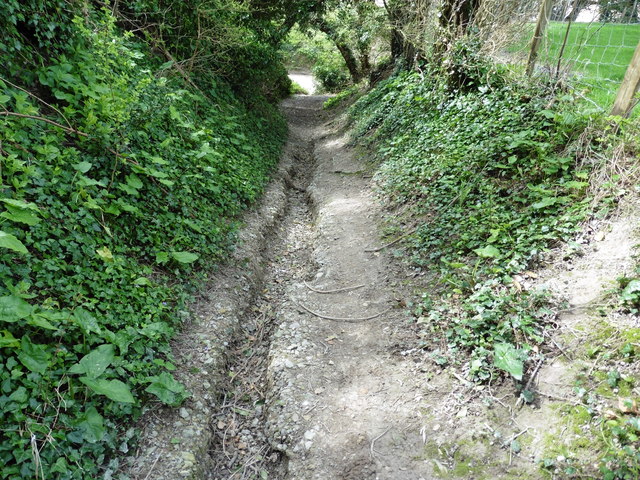
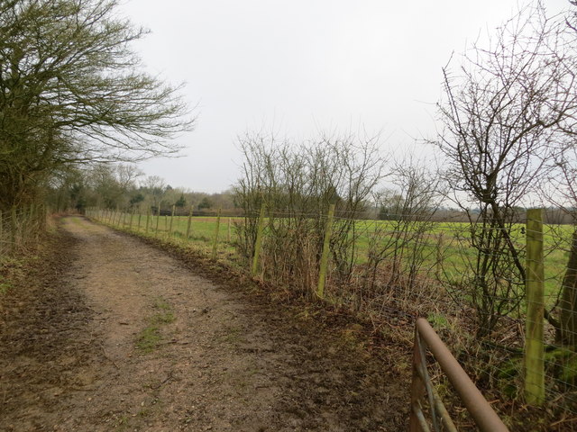
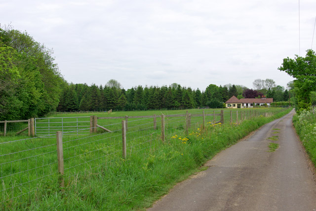
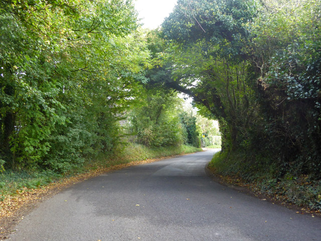
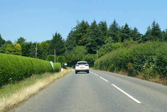
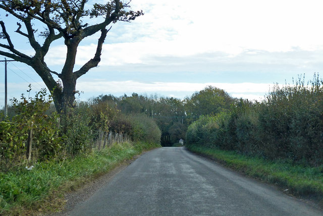
Wick Wood is crisscrossed with numerous walking trails, allowing visitors to explore its beauty at their own pace. The trails are well-maintained and offer stunning views of the surrounding countryside. Along the way, visitors may encounter small streams, charming bridges, and even ancient ruins, adding to the wood's enchanting atmosphere.
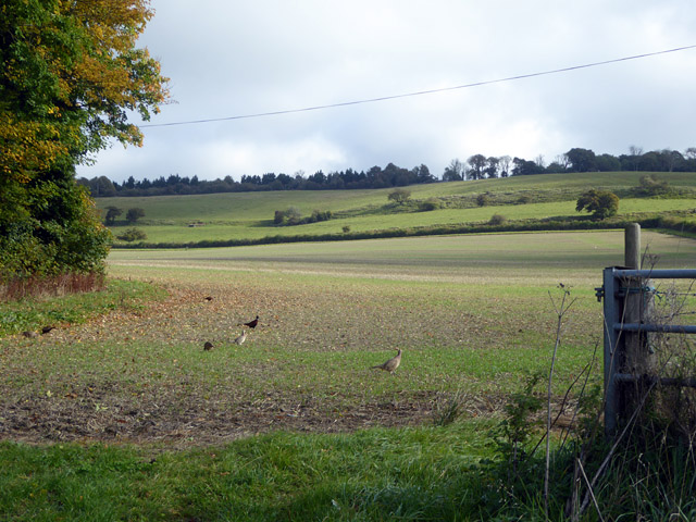
In terms of wildlife, Wick Wood is home to various mammals, including deer, foxes, and badgers. The forest provides a safe and tranquil environment for these creatures, making it an ideal spot for wildlife enthusiasts to observe and appreciate their natural behaviors.
Overall, Wick Wood is a serene and captivating destination, offering a peaceful retreat for those seeking solace in nature. Its lush vegetation, diverse wildlife, and well-preserved trails make it a must-visit location for anyone looking to immerse themselves in the beauty of Kent's countryside.
If you have any feedback on the listing, please let us know in the comments section below.
Wick Wood Images
Images are sourced within 2km of 51.129203/1.0477022 or Grid Reference TR1341. Thanks to Geograph Open Source API. All images are credited.


Wick Wood is located at Grid Ref: TR1341 (Lat: 51.129203, Lng: 1.0477022)
Administrative County: Kent
District: Shepway
Police Authority: Kent
What 3 Words
///browsers.causes.unwraps. Near Lyminge, Kent
Nearby Locations
Related Wikis
Farthing Common
Farthing Common is an area of common land about 10 km northwest of Folkestone in East Kent. It is one of the highest points of the North Downs at 185 metres...
Stowting
Stowting is a village and civil parish in the English county of Kent. It is 6 miles (9.7 km) east of Ashford, 7 miles (11 km) north-west of Folkestone...

Monks Horton
Monks Horton is a small civil parish in the Folkestone and Hythe district of Kent, England. It is located 3 miles (5 km) north of Hythe. Within the civil...

Postling
Postling is a village and civil parish situated near the Roman road of Stone Street, about 17 miles (27 km) south of Canterbury, Kent, in South East England...

Rhodes Minnis
Rhodes Minnis is a village near Folkestone in Kent, England, located between Lyminge and Stelling Minnis. It is in the civil parish of Elham. It was a...
Lyminge Abbey
Lyminge Abbey was an abbey about four miles northwest of Folkestone on the south coast of Kent. It was one of the first religious houses to be founded...
Sibton Park Cricket Club
== Brief history == In 1897 Captain John Howard bought Sibton Park House and its surrounding estate. He was the owner of Chartham Paper Mills and a Member...
Newbarn
Newbarn is a hamlet around a crossroads northwest of Etchinghill in Kent, England. Etchinghill Golf Club is on the road between the two. Tolsford Hill...
Nearby Amenities
Located within 500m of 51.129203,1.0477022Have you been to Wick Wood?
Leave your review of Wick Wood below (or comments, questions and feedback).