Upper Wood
Wood, Forest in Norfolk South Norfolk
England
Upper Wood
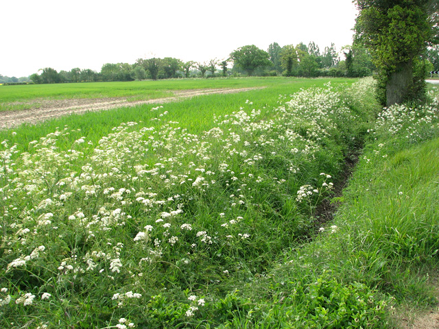
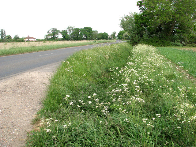
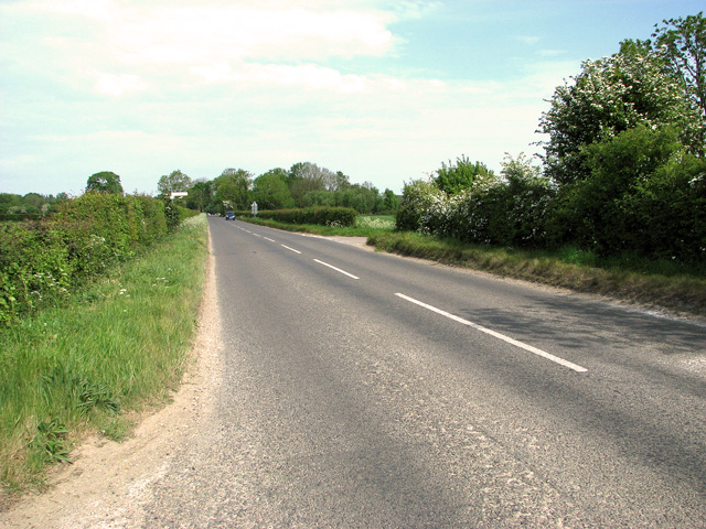
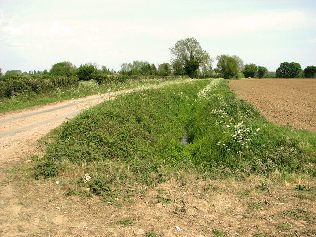
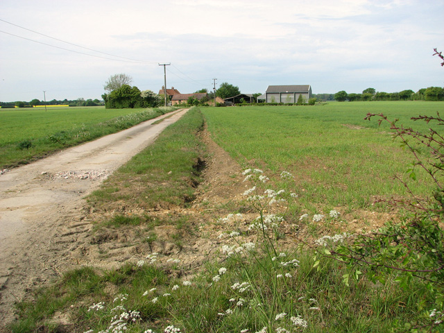
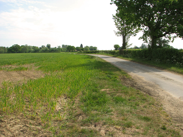
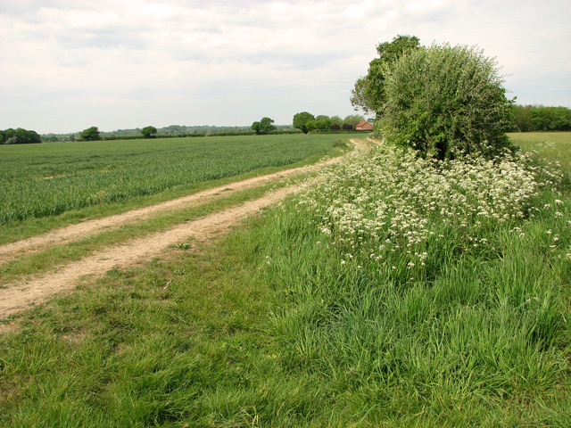
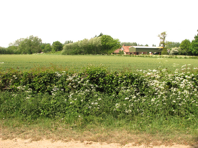
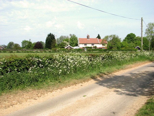
Upper Wood is a small woodland area located in Norfolk, England. Situated in the heart of the county, it is part of the larger woodlands known as the Norfolk Forest. Covering an area of approximately 50 acres, Upper Wood is a beautiful natural haven that attracts nature enthusiasts, hikers, and birdwatchers alike.
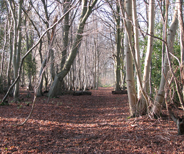
The wood is primarily composed of native broadleaf trees such as oak, beech, and ash, providing a rich and diverse habitat for a variety of wildlife. The dense canopy creates a cool and shady environment, perfect for exploring on hot summer days or seeking refuge from the elements during colder months.
Traversing through Upper Wood, visitors are greeted by a network of well-maintained footpaths that wind their way through the trees, offering scenic views and a chance to immerse oneself in the tranquility of nature. The wood is also home to a small stream that meanders through its heart, adding to its natural charm.
Birdwatchers are particularly drawn to Upper Wood due to its abundance of avian species. Rare and endangered birds such as the Lesser Spotted Woodpecker and the Nightingale can be spotted here, along with more common woodland birds like the Great Tit and the Chaffinch.
Upper Wood is managed by the Norfolk Wildlife Trust, ensuring its preservation and protection for future generations to enjoy. It offers a peaceful retreat from the hustle and bustle of everyday life, allowing visitors to connect with nature and appreciate the beauty of the Norfolk countryside.
If you have any feedback on the listing, please let us know in the comments section below.
Upper Wood Images
Images are sourced within 2km of 52.539556/1.1441572 or Grid Reference TM1398. Thanks to Geograph Open Source API. All images are credited.


Upper Wood is located at Grid Ref: TM1398 (Lat: 52.539556, Lng: 1.1441572)
Administrative County: Norfolk
District: South Norfolk
Police Authority: Norfolk
What 3 Words
///guards.broadens.rebel. Near Hethel, Norfolk
Nearby Locations
Related Wikis
Lower Wood, Ashwellthorpe
Lower Wood, Ashwellthorpe is a 37.9-hectare (94-acre) biological Site of Special Scientific Interest south-east of Wymondham in Norfolk. It is managed...
Ashwellthorpe and Fundenhall
Ashwellthorpe and Fundenhall is a civil parish in the English county of Norfolk, situated some 6 km south-east of Wymondham and 20 km south-west of Norwich...

Tacolneston transmitting station
The Tacolneston transmitting station is a facility for both analogue and digital VHF/FM radio and UHF television transmission near Tacolneston, 11 miles...

Tacolneston Hall
Tacolneston Hall, in the village of Tacolneston in the county of Norfolk, has been the home of the Boileau baronets since the baronetcy was created in...
Ashwellthorpe railway station
Ashwellthorpe was a railway station that existed in the village of Ashwellthorpe, Norfolk, on a cutoff line between Forncett and Wymondham. This entry...

Murders at Stanfield Hall
The Murders at Stanfield Hall were a notorious Victorian era double murder on 28 November 1848 that was commemorated in print, pottery, wax, as well as...

RAF Hethel
Royal Air Force Hethel or more simply RAF Hethel is a former Royal Air Force station (ICAO: EGSK) which was used by both the United States Army Air Forces...
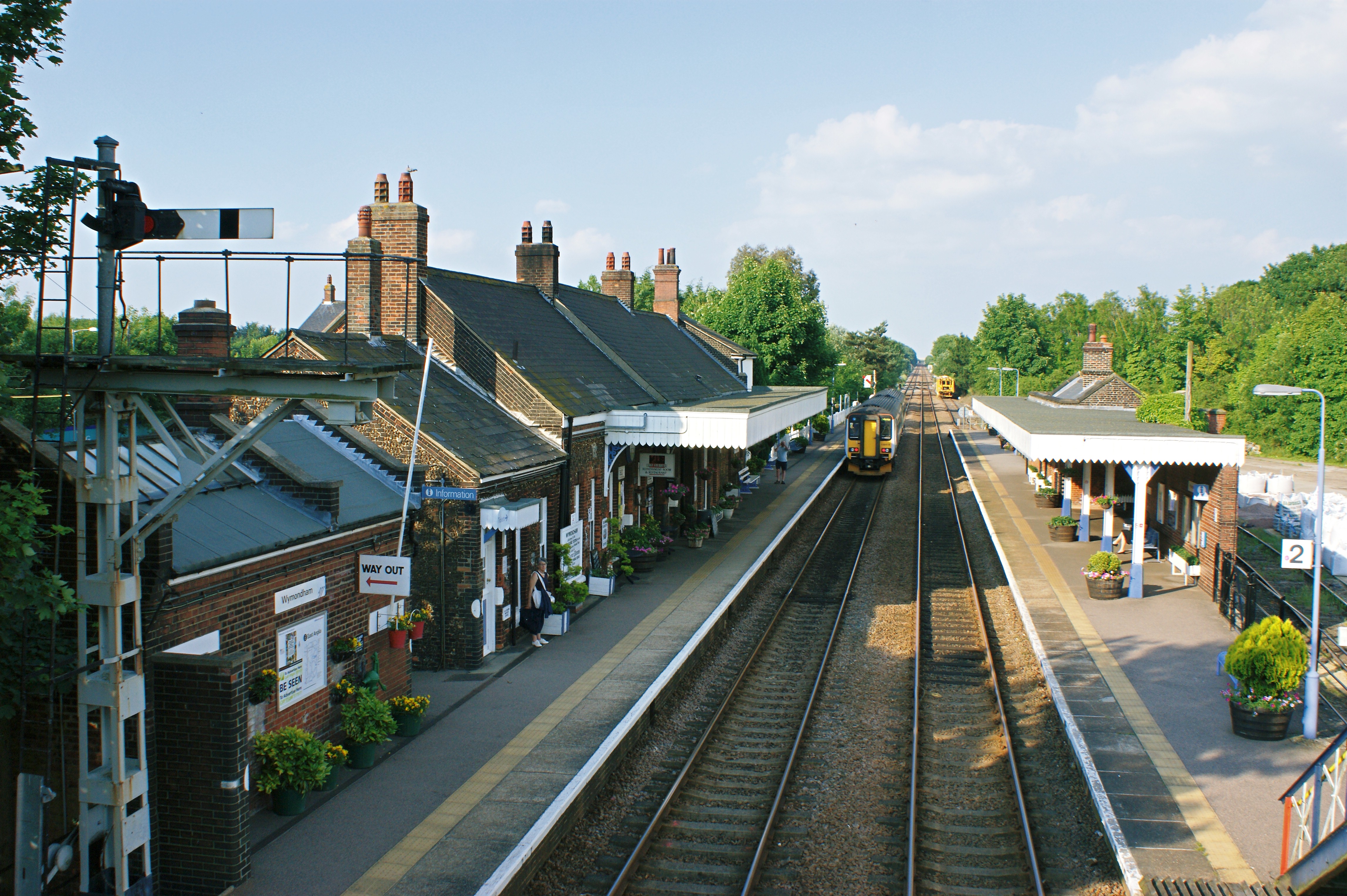
Wymondham railway station
Wymondham railway station is on the Breckland Line in the East of England, serving the market town of Wymondham, Norfolk. The line runs between Cambridge...
Nearby Amenities
Located within 500m of 52.539556,1.1441572Have you been to Upper Wood?
Leave your review of Upper Wood below (or comments, questions and feedback).