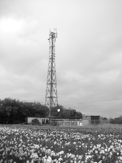
West Beckham Common

Wood, Forest in Norfolk North Norfolk

England

West Beckham Common

Rectory Road
Rectory Road Credit: Hugh Venables

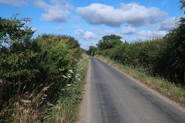
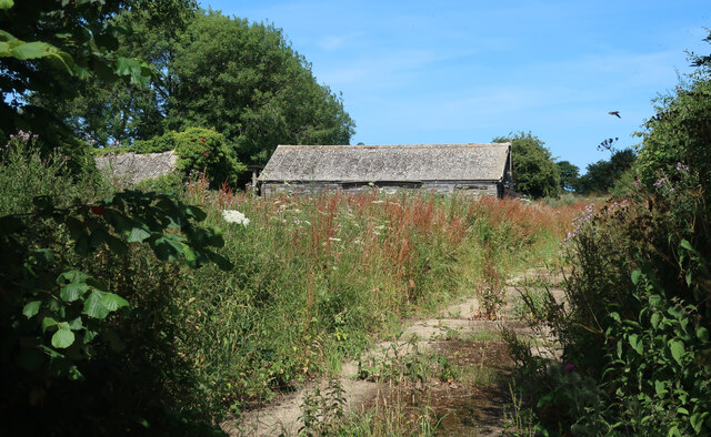
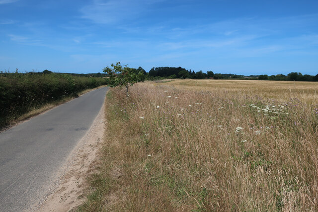
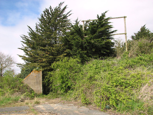
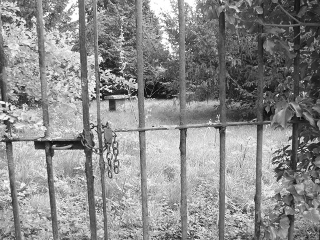
West Beckham Common is a picturesque woodland area located in the county of Norfolk, England. Covering an area of approximately 200 acres, it is a designated Site of Special Scientific Interest (SSSI) and a Local Nature Reserve. The common is situated near the village of West Beckham and is part of the larger Holt Lowes and Beetley Commons.

The woodland is predominantly composed of mixed broadleaf trees, including oak, beech, ash, and birch. These trees provide a rich habitat for a diverse range of wildlife, including birds, mammals, and insects. The common is particularly known for its population of nightjars, a nocturnal bird species. Visitors to West Beckham Common may be lucky enough to catch a glimpse of these elusive creatures during the summer months.

The area is also home to several rare and protected plant species, such as the early spider orchid and the wood bitter-vetch. These plants thrive in the common's acidic soil and contribute to its ecological significance. Additionally, the common features a network of footpaths and trails, allowing visitors to explore its natural beauty while enjoying a leisurely walk or hike.

West Beckham Common is managed by the Norfolk Wildlife Trust, ensuring the preservation and conservation of this valuable natural resource. The trust organizes regular guided walks and educational events to raise awareness about the importance of the common's biodiversity and to promote its sustainable use. It is a popular destination for nature enthusiasts, photographers, and those seeking a tranquil escape in the heart of Norfolk's countryside.

If you have any feedback on the listing, please let us know in the comments section below.

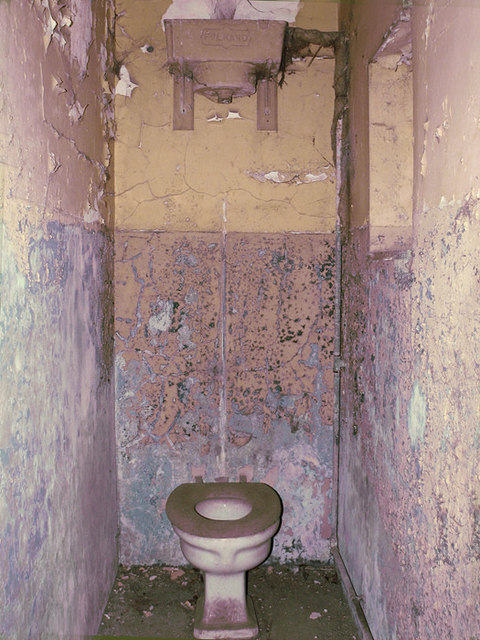
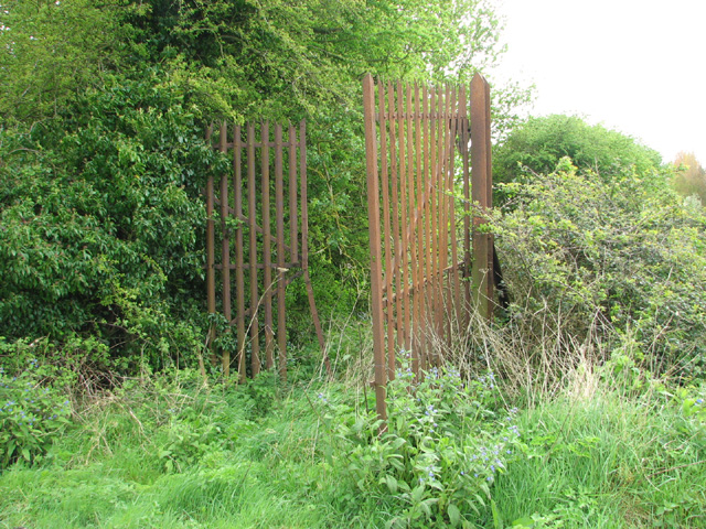
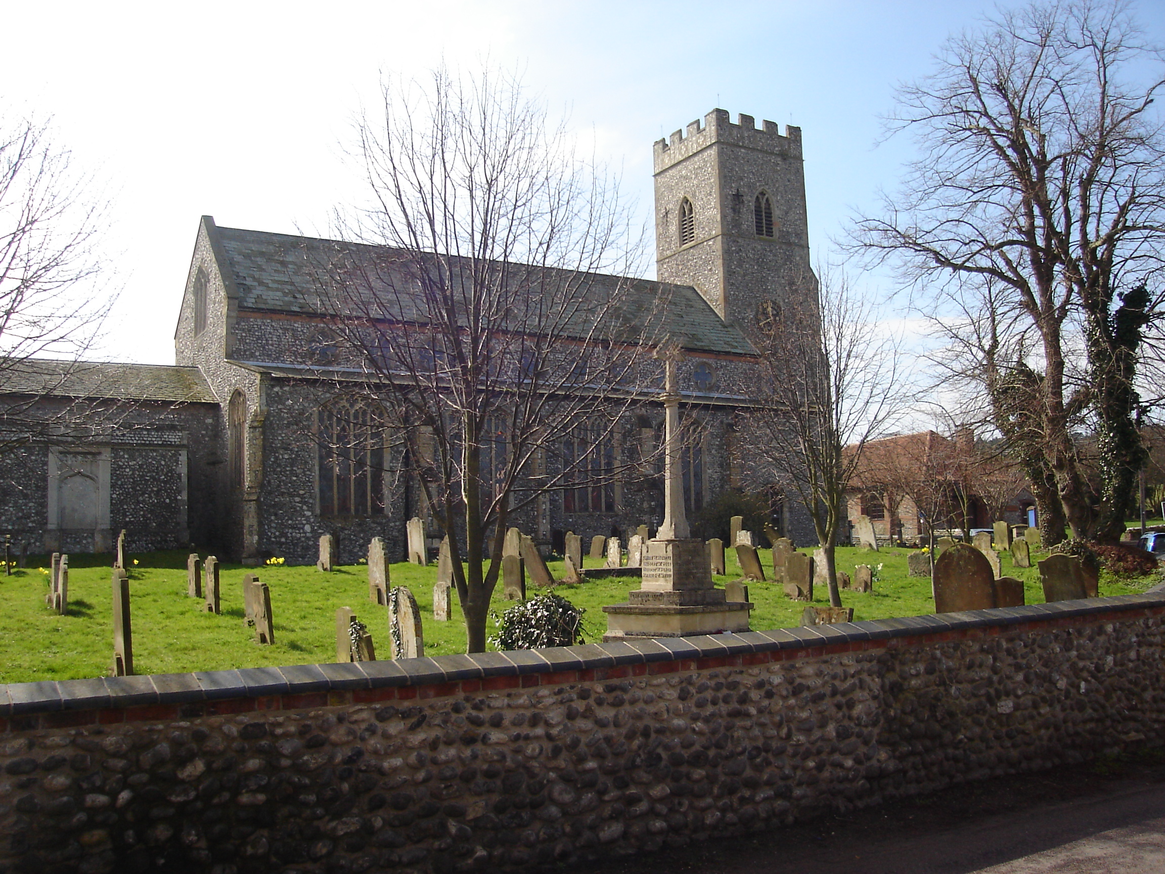
West Beckham Common Images

Images are sourced within 2km of 52.921728/1.1796824 or Grid Reference TG1340. Thanks to Geograph Open Source API. All images are credited.

Rectory Road
Rectory Road
Buildings by Rectory Road See <a href="https://www.geograph.org.uk/photo/3938108">TG1338 : RAF West Beckham radar station (C Site)</a> for more details.
Buildings by Rectory Road
Road to West Beckham
Barley field near Bodham Hill
Transmitter on the former RAF West Beckham radar station This is a modern mast.
Transmitter on the former RAF West Beckham radar station
This is a modern mast.
Guardhouse at the entrance to RAF West Beckham (A Site) RAF West Beckham, which had close links with the local fighter station RAF Matlask, was opened in 1938 and comprised a transmitter and receiver site, a generator site and underground reserves. It reported to the filter room at RAF Watnall which was the HQ to No. 12 Group RAF, and the station was originally parented to RAF Bircham Newton, followed by later RAF Wittering and finally RAF Coltishall.

The radar site proper, located at Bodham Hill, was known as A Site.  During World War II the station was commanded by the famous dance band leader Marius B. Winter and because of his background the soldiers based at the camp were very well entertained. A Site was closed in 1956.

There were also two separate camps:  The B Site provided accommodation for the WAAFs and airmen from 1939 to 1946. The B Site, which was also known as "The Marlpit Camp" due to its close proximity to a disused marl pit - now a fishing lake > <a title="https://www.geograph.org.uk/photo/3938061" href="https://www.geograph.org.uk/photo/3938061">Link</a> -  was closed down in 1958.

Site C was home to the Royal Norfolk Regiment in 1940 and in 1941 was used by the Military Police, followed by an RAF regiment from 1942 until 1945. After the war the site went into care and maintenance.

Today the station is privately owned and many of the buildings are still in existence.
Guardhouse at the entrance to RAF West Beckham (A Site)
RAF West Beckham, which had close links with the local fighter station RAF Matlask, was opened in 1938 and comprised a transmitter and receiver site, a generator site and underground reserves. It reported to the filter room at RAF Watnall which was the HQ to No. 12 Group RAF, and the station was originally parented to RAF Bircham Newton, followed by later RAF Wittering and finally RAF Coltishall. The radar site proper, located at Bodham Hill, was known as A Site. During World War II the station was commanded by the famous dance band leader Marius B. Winter and because of his background the soldiers based at the camp were very well entertained. A Site was closed in 1956. There were also two separate camps: The B Site provided accommodation for the WAAFs and airmen from 1939 to 1946. The B Site, which was also known as "The Marlpit Camp" due to its close proximity to a disused marl pit - now a fishing lake > Link - was closed down in 1958. Site C was home to the Royal Norfolk Regiment in 1940 and in 1941 was used by the Military Police, followed by an RAF regiment from 1942 until 1945. After the war the site went into care and maintenance. Today the station is privately owned and many of the buildings are still in existence.
RAF West Beckham radar station (A Site) Remains of the IFF (Identification Friend or Foe) hut.
RAF West Beckham radar station (A Site)
Remains of the IFF (Identification Friend or Foe) hut.
RAF West Beckham radar station (A Site) The overgrown concrete bases of the wooden mast adjacent to the receiver block.
RAF West Beckham radar station (A Site)
The overgrown concrete bases of the wooden mast adjacent to the receiver block.
RAF West Beckham radar station (A Site) Approach to the receiver block.
RAF West Beckham radar station (A Site)
Approach to the receiver block.
RAF West Beckham radar station (A Site) Entrance into the receiver block.
RAF West Beckham radar station (A Site)
Entrance into the receiver block.
RAF West Beckham radar station (A Site) View from the blast wall surrounding the receiver block.
RAF West Beckham radar station (A Site)
View from the blast wall surrounding the receiver block.
RAF West Beckham radar station (A Site) Pillbox located above the entrance/exit of the receiver block. It would appear to have been accessed via a ladder.
RAF West Beckham radar station (A Site)
Pillbox located above the entrance/exit of the receiver block. It would appear to have been accessed via a ladder.
West Beckham ROC post The Royal Observer Corps post on the A Site of the former RAF West Beckham radar station.  The post was set up in 1960 and  closed in 1991. This area is fenced in and inaccessible.
West Beckham ROC post
The Royal Observer Corps post on the A Site of the former RAF West Beckham radar station. The post was set up in 1960 and closed in 1991. This area is fenced in and inaccessible.
RAF West Beckham radar station (A Site) Apparently this large brick structure is the stand-by set house.
RAF West Beckham radar station (A Site)
Apparently this large brick structure is the stand-by set house.
Guardhouse at the entrance to RAF West Beckham - interior For an exterior view of this building see > <a title="https://www.geograph.org.uk/photo/3937705" href="https://www.geograph.org.uk/photo/3937705">Link</a>.
Guardhouse at the entrance to RAF West Beckham - interior
For an exterior view of this building see > Link.
RAF West Beckham radar station (A Site) This is the old gate on the road out of the A site in the north.  A large and now very overgrown RAF pillbox is guarding it.
RAF West Beckham radar station (A Site)
This is the old gate on the road out of the A site in the north. A large and now very overgrown RAF pillbox is guarding it.
Show me another place!

West Beckham Common is located at Grid Ref: TG1340 (Lat: 52.921728, Lng: 1.1796824)

Administrative County: Norfolk

District: North Norfolk

Police Authority: Norfolk

What 3 Words

///next.spin.staining. Near Sheringham, Norfolk

Related Wikis

Sheringham Park

Sheringham Park is a landscape park and gardens near the town of Sheringham, Norfolk, England. The park surrounds Sheringham Hall, lying mostly to its...

Upper Sheringham

Upper Sheringham is a village and a civil parish in the English county of Norfolk. The village is 26.8 miles (43.1 km) north-north-west of Norwich, 6...

Bodham

Bodham is a civil parish in the English county of Norfolk. The village is 27.2 miles north north west of Norwich, 6.4 miles west of Cromer and 131 miles...

West Beckham

West Beckham is a village and a civil parish in the English county of Norfolk The village is 6.1 miles (9.8 km) west south west of Cromer, 25.3 miles...
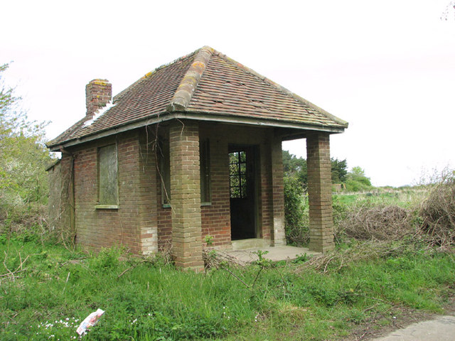
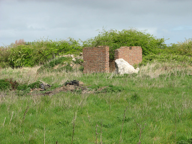
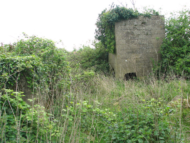
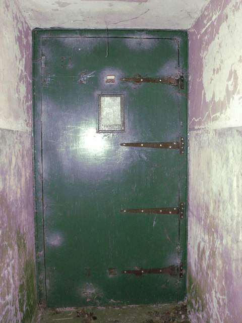
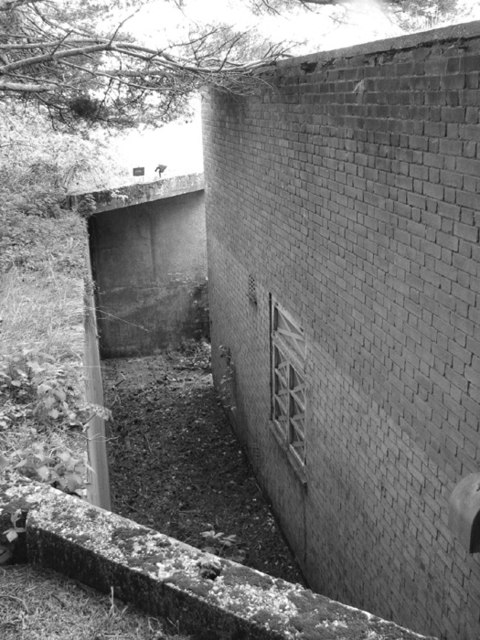
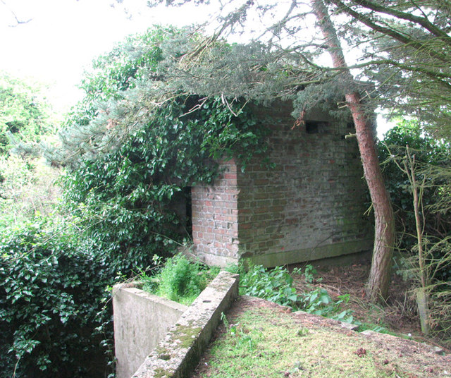
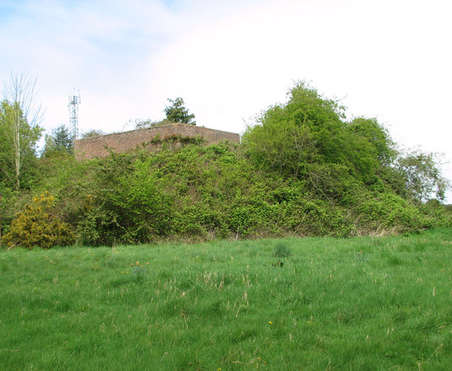
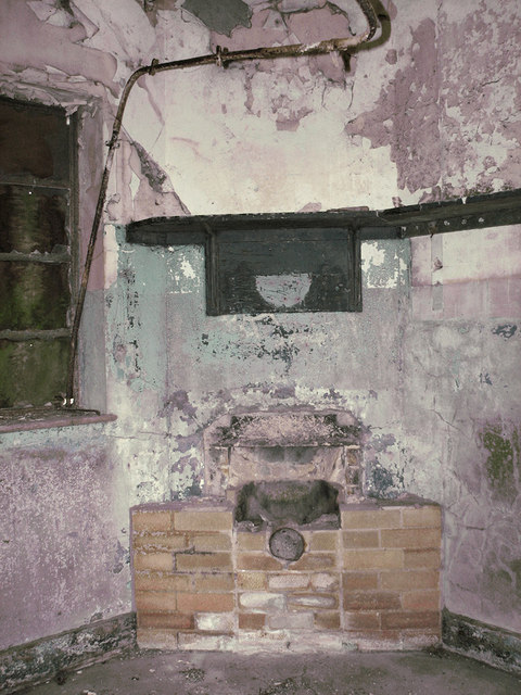
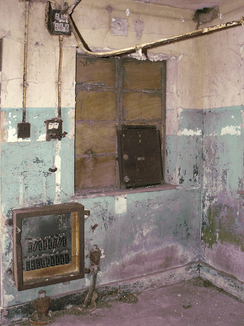
RAF West Beckham

Royal Air Force Station West Beckham, commonly known as RAF West Beckham, is a former Chain Home radar station controlled by the Royal Air Force (RAF)...

Sheringham Woodfields School

Sheringham Woodfields School is a co-educational special school located in Sheringham in the English county of Norfolk.It is a Learning and Cognition Specialist...

Sheringham High School

Sheringham High School is a secondary school and sixth form located in the town of Sheringham in the English county of Norfolk. The school has around 700...

A1082 road

The A1082 is an English A road entirely in the county of Norfolk. It runs from a junction with the A148 King's Lynn to Cromer Road to a roundabout on the...

Nearby Amenities

Located within 500m of 52.921728,1.1796824
Sheringham Park, adj
Naptan AtcoCode: 2900S164
Naptan Bearing: N
Naptan BusStopType: CUS
Naptan CommonName: Sheringham Park
Naptan Indicator: adj
Naptan Landmark: park entrance
Naptan Locality: Upper Sheringham
Naptan NaptanCode: nfogpmdw
Naptan Street: Lodge Hill
Naptan Verified: no
Source: naptan_import
Lat/Long: 52.9237571/1.1817846
Sheringham Park, opp
Naptan AtcoCode: 2900S165
Naptan Bearing: S
Naptan BusStopType: CUS
Naptan CommonName: Sheringham Park
Naptan Indicator: opp
Naptan Landmark: park
Naptan Locality: Upper Sheringham
Naptan NaptanCode: nfogpmga
Naptan Street: Lodge Hill
Naptan Verified: no
Source: naptan_import
Lat/Long: 52.9237406/1.1820661
Bodham Covert
Natural: wood
Source: OS_OpenData_StreetView
Lat/Long: 52.9218663/1.1739776
The Belt
Natural: wood
Source: OS_OpenData_StreetView
Lat/Long: 52.923536/1.1805641
Post Box
Collection Times: Mo-Fr 16:30; Sa 10:00
Post Box Type: lamp
Ref: NR25 2512
Royal Cypher: EIIR
Royal Cypher Wikidata: Q33102113
Lat/Long: 52.9185255/1.1799356
West Beckham Common
Place: locality
Lat/Long: 52.9221673/1.1804348
Wood Farm
Place: locality
Lat/Long: 52.9254731/1.1809581
Cafe
Courtyard Cafe
Lat/Long: 52.9253509/1.1809557
Information: board
Operator: National Trust
Tourism: information
Lat/Long: 52.9248578/1.1804729
Vending Machine
Vending: parking_tickets
Lat/Long: 52.9248333/1.1804885
Charging Station
Hugo-Gino
Capacity: 2
Fee: no
Network: PodPoint
Note: No charge for charging, but usual parking fees apply
Ref: PG-81515
Socket Type2: 2
Socket Type2 Output: 22 kW
Lat/Long: 52.9247047/1.1805797
Entrance: yes
Lat/Long: 52.9254673/1.1813136
Entrance: shop
Lat/Long: 52.9253915/1.1811817
Entrance: shop
Lat/Long: 52.9253569/1.1811171
Generator Method: photovoltaic
Generator Output Electricity: yes
Generator Solar Modules: 42
Generator Source: solar
Generator Type: solar_photovoltaic_panel
Location: roof
Power: generator
Lat/Long: 52.9230755/1.1825591
Generator Method: photovoltaic
Generator Output Electricity: yes
Generator Solar Modules: 128
Generator Source: solar
Generator Type: solar_photovoltaic_panel
Location: roof
Power: generator
Lat/Long: 52.9225904/1.1826101
Power: pole
Lat/Long: 52.9228168/1.1827362
Power: pole
Lat/Long: 52.9232898/1.1840008
Power: pole
Lat/Long: 52.9238606/1.1856343
The data included in this document is from www.openstreetmap.org. The data is made available under ODbL.

Have you been to West Beckham Common?

Leave your review of West Beckham Common below (or comments, questions and feedback).