Bodham Covert

Wood, Forest in Norfolk North Norfolk

England

Bodham Covert

Rectory Road
Rectory Road Credit: Hugh Venables

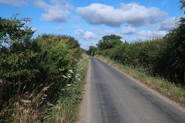
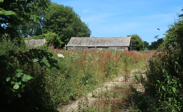
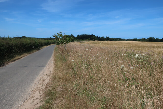
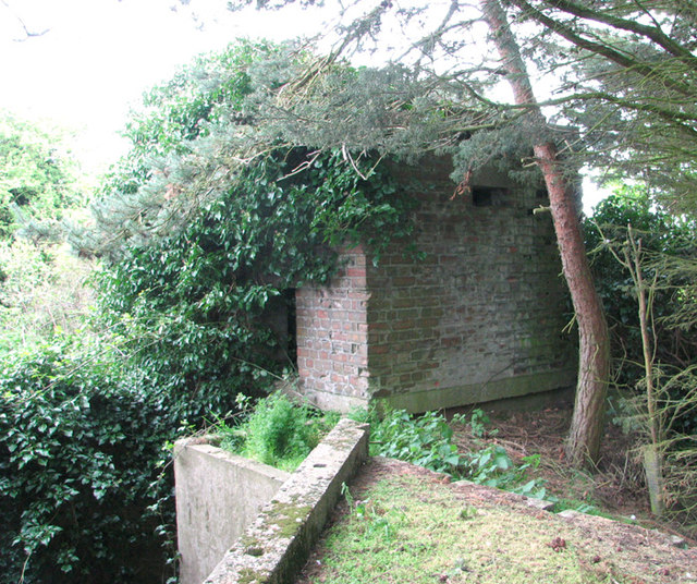
Bodham Covert, located in Norfolk, England, is a picturesque woodland area known for its rich biodiversity and natural beauty. Spanning over several acres, this ancient woodland is a haven for nature enthusiasts, offering a tranquil escape from the hustle and bustle of everyday life.

The woodland is primarily composed of a mix of deciduous and coniferous trees, including oak, beech, and pine. The diverse vegetation creates a unique habitat for a wide range of wildlife species, making it a popular destination for bird watchers and nature photographers. Visitors may spot various bird species such as woodpeckers, owls, and finches, as well as small mammals like squirrels and rabbits.

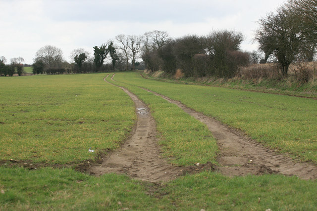
The woodland is crisscrossed by a network of well-maintained footpaths, allowing visitors to explore its natural wonders at their own pace. These paths wind through the forest, providing opportunities to immerse oneself in the sights and sounds of nature. Along the way, there are benches and picnic spots, providing the perfect setting for a peaceful lunch amidst the trees.

Bodham Covert is managed by a team of dedicated conservationists who actively work to preserve and protect the woodland's delicate ecosystem. They undertake regular maintenance, including tree planting and habitat restoration, to ensure the long-term sustainability of this natural treasure.

Whether it's for a leisurely stroll, bird watching, or simply a desire to reconnect with nature, Bodham Covert offers a serene and enchanting experience for all who visit. Its tranquil ambiance and diverse flora and fauna make it a true gem in the heart of Norfolk's countryside.

If you have any feedback on the listing, please let us know in the comments section below.

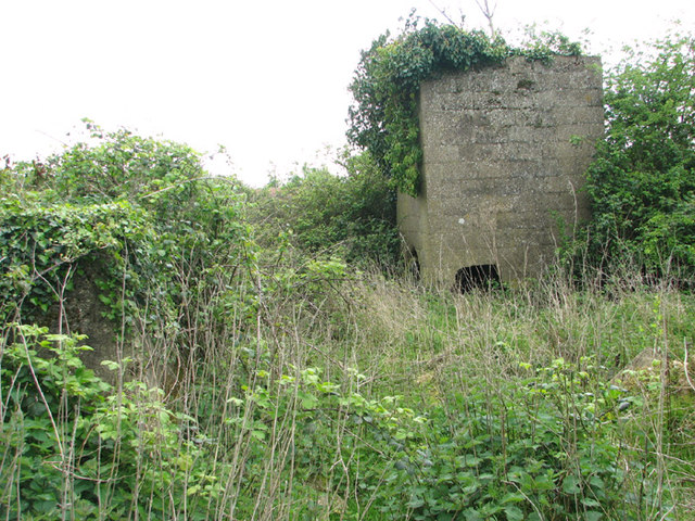
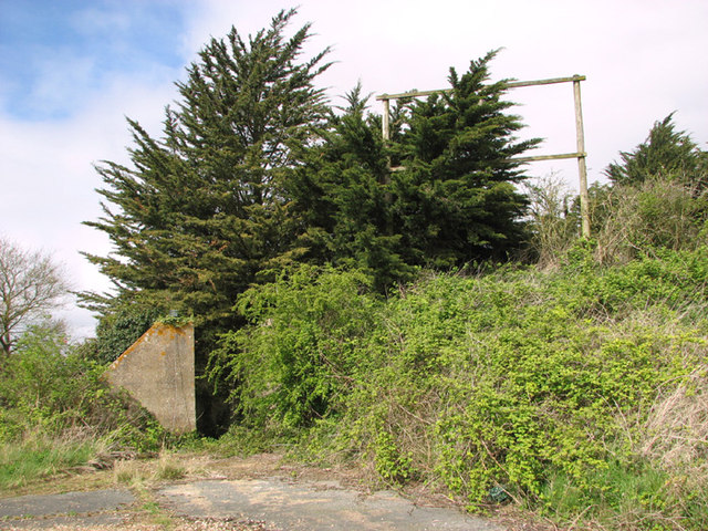
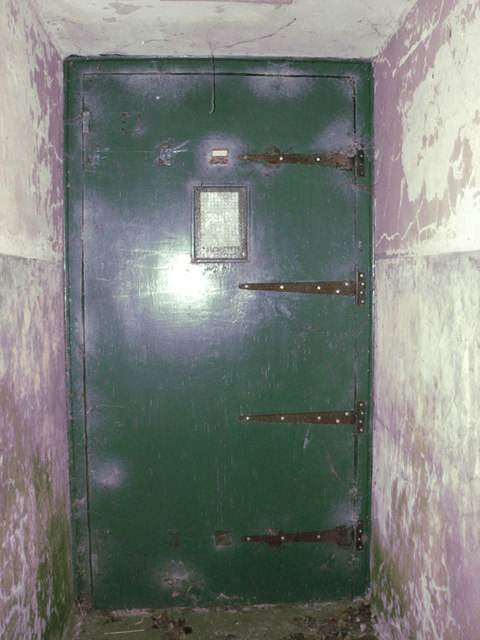
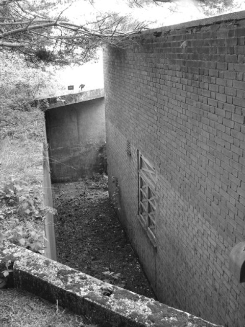
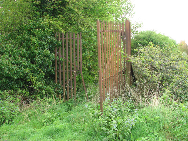
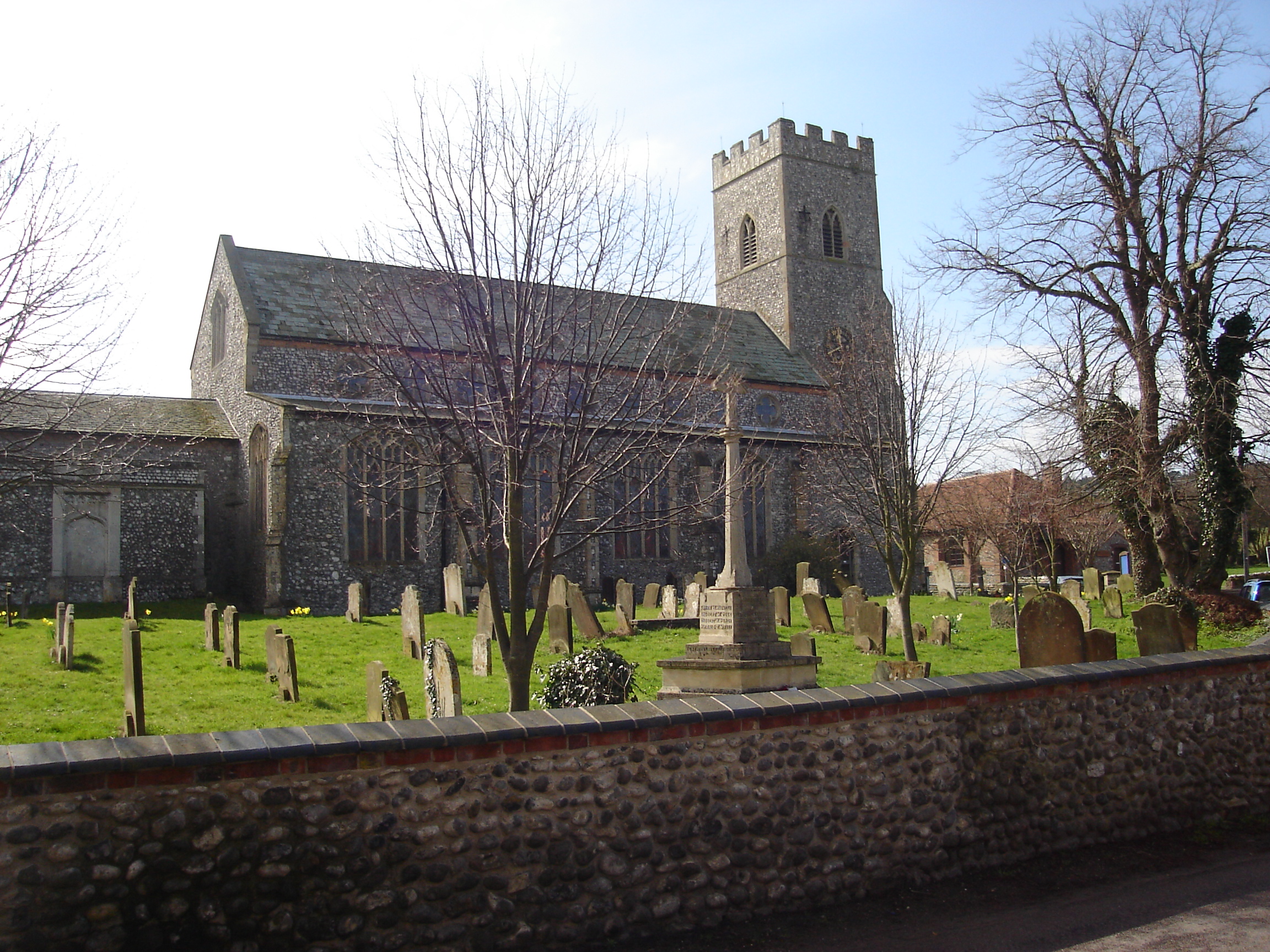
Bodham Covert Images

Images are sourced within 2km of 52.921837/1.173917 or Grid Reference TG1340. Thanks to Geograph Open Source API. All images are credited.

Rectory Road
Rectory Road
Buildings by Rectory Road See <a href="https://www.geograph.org.uk/photo/3938108">TG1338 : RAF West Beckham radar station (C Site)</a> for more details.
Buildings by Rectory Road
Road to West Beckham
Barley field near Bodham Hill
Tractor Tracks across the field
Transmitter on the former RAF West Beckham radar station This is a modern mast.
Transmitter on the former RAF West Beckham radar station
This is a modern mast.
Guardhouse at the entrance to RAF West Beckham (A Site) RAF West Beckham, which had close links with the local fighter station RAF Matlask, was opened in 1938 and comprised a transmitter and receiver site, a generator site and underground reserves. It reported to the filter room at RAF Watnall which was the HQ to No. 12 Group RAF, and the station was originally parented to RAF Bircham Newton, followed by later RAF Wittering and finally RAF Coltishall.

The radar site proper, located at Bodham Hill, was known as A Site.  During World War II the station was commanded by the famous dance band leader Marius B. Winter and because of his background the soldiers based at the camp were very well entertained. A Site was closed in 1956.

There were also two separate camps:  The B Site provided accommodation for the WAAFs and airmen from 1939 to 1946. The B Site, which was also known as "The Marlpit Camp" due to its close proximity to a disused marl pit - now a fishing lake > <a title="https://www.geograph.org.uk/photo/3938061" href="https://www.geograph.org.uk/photo/3938061">Link</a> -  was closed down in 1958.

Site C was home to the Royal Norfolk Regiment in 1940 and in 1941 was used by the Military Police, followed by an RAF regiment from 1942 until 1945. After the war the site went into care and maintenance.

Today the station is privately owned and many of the buildings are still in existence.
Guardhouse at the entrance to RAF West Beckham (A Site)
RAF West Beckham, which had close links with the local fighter station RAF Matlask, was opened in 1938 and comprised a transmitter and receiver site, a generator site and underground reserves. It reported to the filter room at RAF Watnall which was the HQ to No. 12 Group RAF, and the station was originally parented to RAF Bircham Newton, followed by later RAF Wittering and finally RAF Coltishall. The radar site proper, located at Bodham Hill, was known as A Site. During World War II the station was commanded by the famous dance band leader Marius B. Winter and because of his background the soldiers based at the camp were very well entertained. A Site was closed in 1956. There were also two separate camps: The B Site provided accommodation for the WAAFs and airmen from 1939 to 1946. The B Site, which was also known as "The Marlpit Camp" due to its close proximity to a disused marl pit - now a fishing lake > Link - was closed down in 1958. Site C was home to the Royal Norfolk Regiment in 1940 and in 1941 was used by the Military Police, followed by an RAF regiment from 1942 until 1945. After the war the site went into care and maintenance. Today the station is privately owned and many of the buildings are still in existence.
RAF West Beckham radar station (A Site) Remains of the IFF (Identification Friend or Foe) hut.
RAF West Beckham radar station (A Site)
Remains of the IFF (Identification Friend or Foe) hut.
RAF West Beckham radar station (A Site) The overgrown concrete bases of the wooden mast adjacent to the receiver block.
RAF West Beckham radar station (A Site)
The overgrown concrete bases of the wooden mast adjacent to the receiver block.
RAF West Beckham radar station (A Site) Approach to the receiver block.
RAF West Beckham radar station (A Site)
Approach to the receiver block.
RAF West Beckham radar station (A Site) Entrance into the receiver block.
RAF West Beckham radar station (A Site)
Entrance into the receiver block.
RAF West Beckham radar station (A Site) View from the blast wall surrounding the receiver block.
RAF West Beckham radar station (A Site)
View from the blast wall surrounding the receiver block.
RAF West Beckham radar station (A Site) Pillbox located above the entrance/exit of the receiver block. It would appear to have been accessed via a ladder.
RAF West Beckham radar station (A Site)
Pillbox located above the entrance/exit of the receiver block. It would appear to have been accessed via a ladder.
Guardhouse at the entrance to RAF West Beckham - interior For an exterior view of this building see > <a title="https://www.geograph.org.uk/photo/3937705" href="https://www.geograph.org.uk/photo/3937705">Link</a>.
Guardhouse at the entrance to RAF West Beckham - interior
For an exterior view of this building see > Link.
RAF West Beckham radar station (A Site) This is the old gate on the road out of the A site in the north.  A large and now very overgrown RAF pillbox is guarding it.
RAF West Beckham radar station (A Site)
This is the old gate on the road out of the A site in the north. A large and now very overgrown RAF pillbox is guarding it.
RAF West Beckham radar station (C Site) The accommodation block.
RAF West Beckham radar station (C Site)
The accommodation block.
Show me another place!

Bodham Covert is located at Grid Ref: TG1340 (Lat: 52.921837, Lng: 1.173917)

Administrative County: Norfolk

District: North Norfolk

Police Authority: Norfolk

What 3 Words

///indeed.wells.gambles. Near Sheringham, Norfolk

Related Wikis

Sheringham Park

Sheringham Park is a landscape park and gardens near the town of Sheringham, Norfolk, England. The park surrounds Sheringham Hall, lying mostly to its...

Bodham

Bodham is a civil parish in the English county of Norfolk. The village is 27.2 miles north north west of Norwich, 6.4 miles west of Cromer and 131 miles...

West Beckham

West Beckham is a village and a civil parish in the English county of Norfolk The village is 6.1 miles (9.8 km) west south west of Cromer, 25.3 miles...

Upper Sheringham

Upper Sheringham is a village and a civil parish in the English county of Norfolk. The village is 26.8 miles (43.1 km) north-north-west of Norwich, 6...

Nearby Amenities

Located within 500m of 52.921837,1.173917
Bodham Covert
Natural: wood
Source: OS_OpenData_StreetView
Lat/Long: 52.9218663/1.1739776
Howe's Hill Wood
Natural: wood
Source: OS_OpenData_StreetView
Lat/Long: 52.9232708/1.1723431
The Belt
Natural: wood
Source: OS_OpenData_StreetView
Lat/Long: 52.923536/1.1805641
Howe's Hill
Place: locality
Lat/Long: 52.9240458/1.1723554
West Beckham Common
Place: locality
Lat/Long: 52.9221673/1.1804348
The data included in this document is from www.openstreetmap.org. The data is made available under ODbL.

Have you been to Bodham Covert?

Leave your review of Bodham Covert below (or comments, questions and feedback).