Howe's Hill
Hill, Mountain in Norfolk North Norfolk
England
Howe's Hill
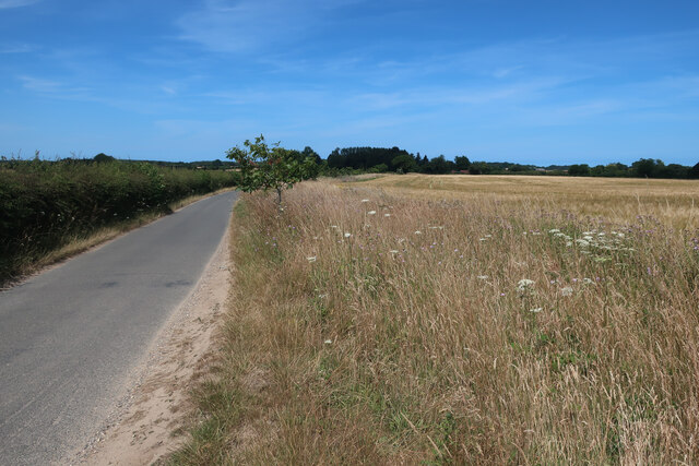
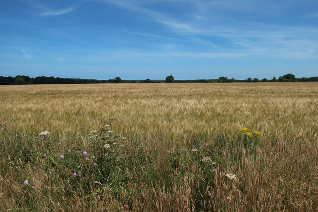
Howe's Hill is a small hill located in the county of Norfolk, England. Situated on the outskirts of the village of Howe, the hill is part of the larger Norfolk Broads National Park, known for its scenic landscapes and natural beauty.
Rising to a modest elevation of 50 meters above sea level, Howe's Hill offers picturesque views of the surrounding countryside. Covered in lush green grass and dotted with trees, it provides a peaceful and tranquil setting for visitors to enjoy.
The hill is popular among hikers and nature enthusiasts, who often embark on walks and picnics in the area. Its gentle slopes and well-maintained footpaths make it accessible for people of all ages and fitness levels. Many visitors also bring their dogs to Howe's Hill, as it offers ample space for them to roam and explore.
Birdwatchers are particularly drawn to Howe's Hill, as it provides a vantage point for observing a variety of avian species that inhabit the nearby wetlands and waterways. From the top of the hill, one can catch sight of ducks, geese, and even the occasional heron, making it a haven for birdwatching enthusiasts.
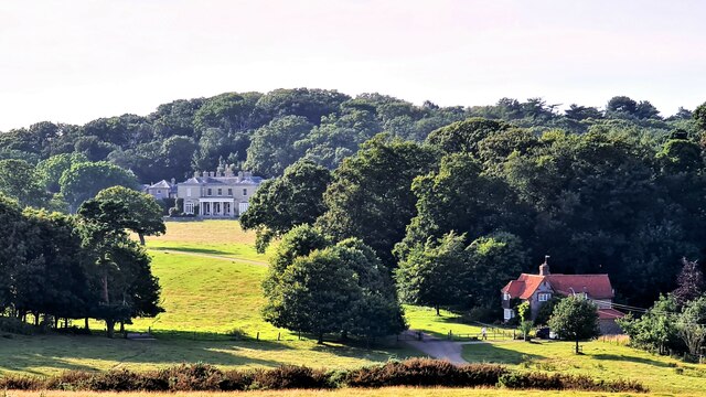
Despite its relatively small size, Howe's Hill holds great significance for the local community, acting as a gathering point for events and celebrations throughout the year. Folklore and legends are also associated with the hill, adding an air of mystique to its natural charm.
Overall, Howe's Hill is a hidden gem in the Norfolk countryside, offering visitors a chance to connect with nature and enjoy the stunning vistas that this region has to offer.
If you have any feedback on the listing, please let us know in the comments section below.
Howe's Hill Images
Images are sourced within 2km of 52.923925/1.1728497 or Grid Reference TG1340. Thanks to Geograph Open Source API. All images are credited.


Howe's Hill is located at Grid Ref: TG1340 (Lat: 52.923925, Lng: 1.1728497)
Administrative County: Norfolk
District: North Norfolk
Police Authority: Norfolk
What 3 Words
///animator.modest.warriors. Near Sheringham, Norfolk
Related Wikis

Sheringham Park
Sheringham Park is a landscape park and gardens near the town of Sheringham, Norfolk, England. The park surrounds Sheringham Hall, lying mostly to its...

Bodham
Bodham is a civil parish in the English county of Norfolk. The village is 27.2 miles north north west of Norwich, 6.4 miles west of Cromer and 131 miles...
Upper Sheringham
Upper Sheringham is a village and a civil parish in the English county of Norfolk. The village is 26.8 miles (43.1 km) north-north-west of Norwich, 6...

West Beckham
West Beckham is a village and a civil parish in the English county of Norfolk The village is 6.1 miles (9.8 km) west south west of Cromer, 25.3 miles...
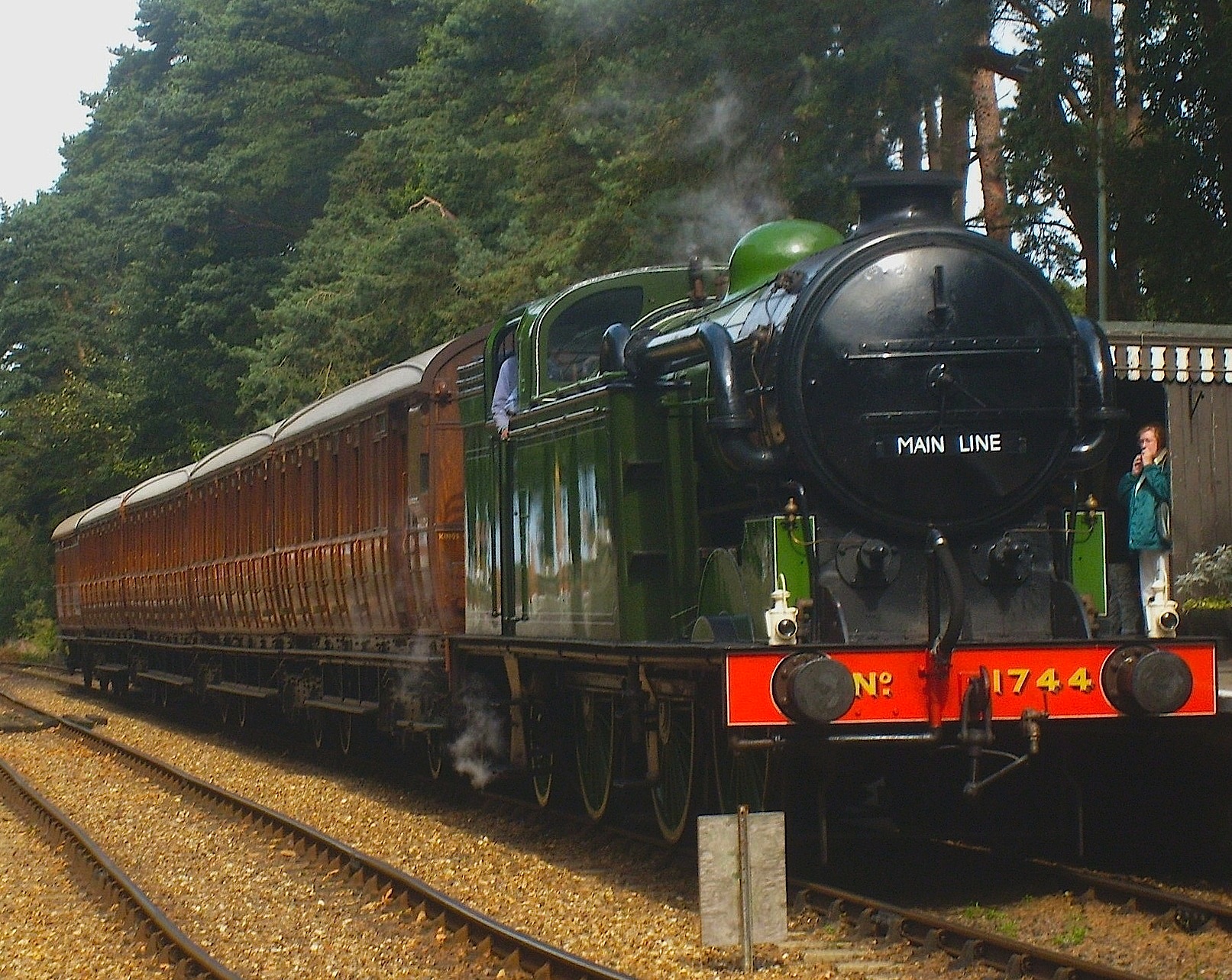
North Norfolk Railway
The North Norfolk Railway (NNR) – also known as the "Poppy Line" – is a 5+1⁄4-mile (8.4 km) heritage steam railway in Norfolk, England, running between...
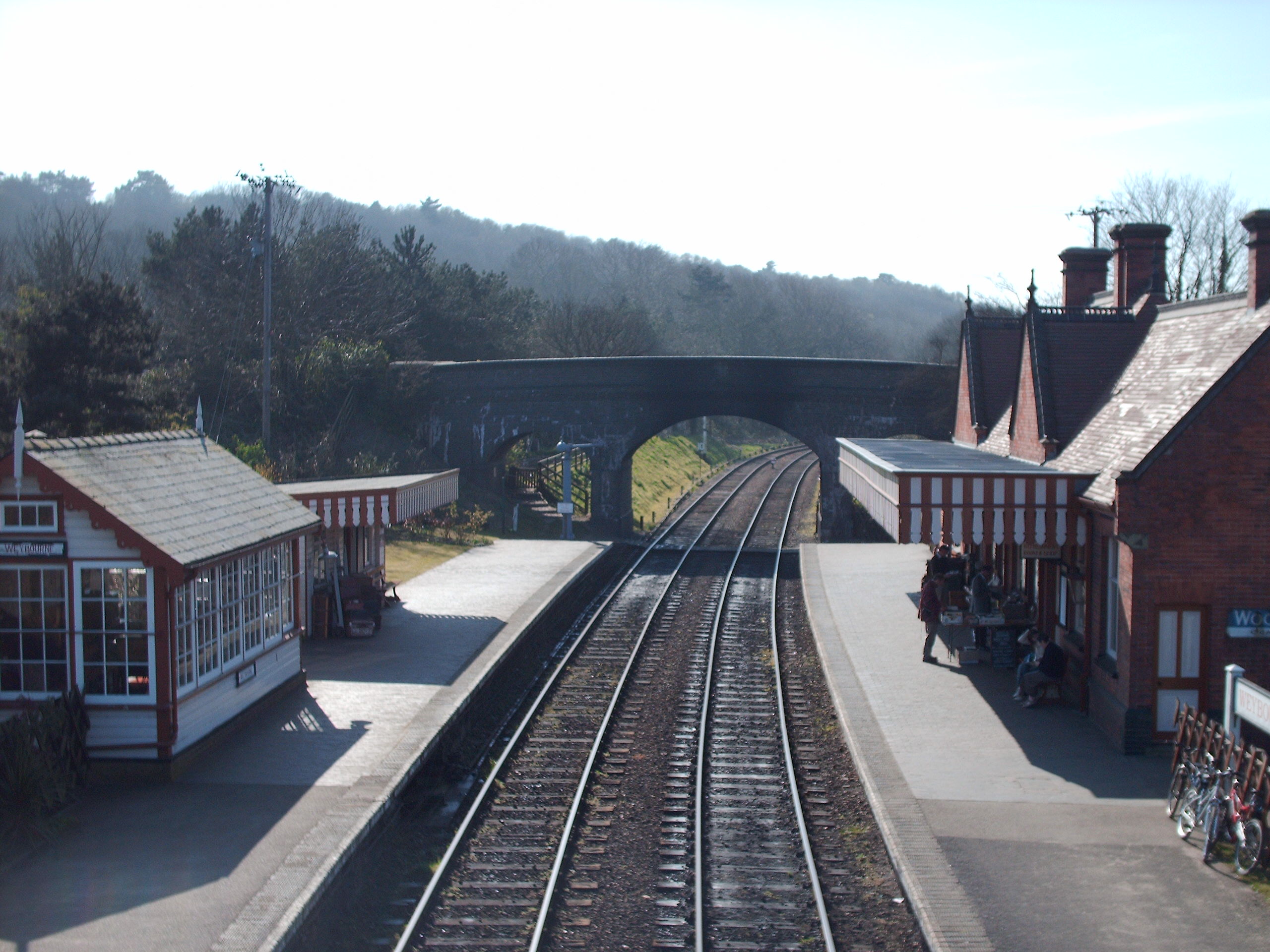
Weybourne railway station
Weybourne railway station is a station in Weybourne, Norfolk, on the preserved North Norfolk Railway. It was formerly part of the Midland and Great Northern...

RAF West Beckham
Royal Air Force Station West Beckham, commonly known as RAF West Beckham, is a former Chain Home radar station controlled by the Royal Air Force (RAF)...
Sheringham Woodfields School
Sheringham Woodfields School is a co-educational special school located in Sheringham in the English county of Norfolk.It is a Learning and Cognition Specialist...
Nearby Amenities
Located within 500m of 52.923925,1.1728497Have you been to Howe's Hill?
Leave your review of Howe's Hill below (or comments, questions and feedback).