Primrose Grove

Wood, Forest in Norfolk Broadland

England

Primrose Grove

Ringland: The Dryhill Plantation and Jennis' Wood
Ringland: The Dryhill Plantation and Jennis' Wood Credit: Michael Garlick

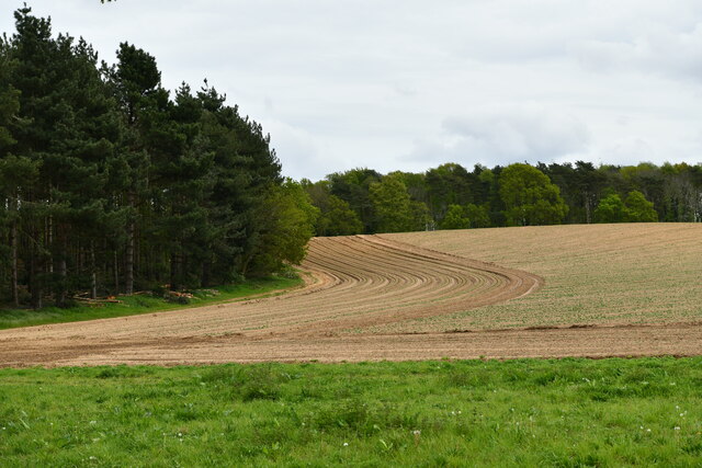
Primrose Grove, located in Norfolk, is a charming wood or forest area known for its abundant flora and serene ambiance. Spanning over a vast expanse of land, this woodland is a haven for nature enthusiasts and those seeking tranquility away from the bustling city life.

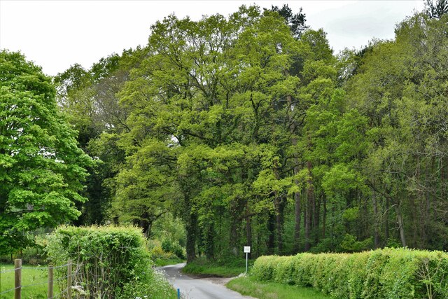
One of the key features of Primrose Grove is its diverse collection of plant life. The forest floor is adorned with a carpet of vibrant primroses, giving the grove its name. These delicate flowers bloom in a myriad of colors, creating a picturesque sight during the spring season. Tall oak and beech trees tower above, providing a lush canopy and shelter for various species of birds and small animals.

The grove is rich in biodiversity, with a wide array of flora and fauna. It is home to numerous species of birds, including woodpeckers, owls, and songbirds, filling the air with their melodious tunes. Squirrels scuttle along the branches, while rabbits and foxes can occasionally be spotted darting amongst the undergrowth.

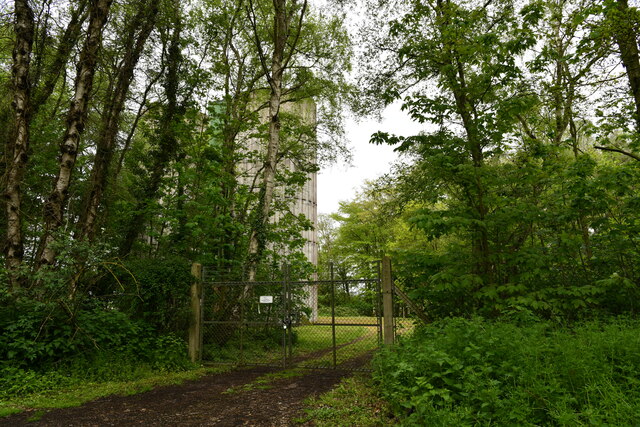
The wood is crisscrossed by several winding trails, offering visitors the opportunity to explore its natural beauty. These pathways lead to hidden gems within the grove, such as a babbling brook or a secluded clearing perfect for a picnic. The peaceful atmosphere and the absence of modern amenities make Primrose Grove an ideal location for those seeking solitude and a chance to reconnect with nature.

Overall, Primrose Grove in Norfolk is a captivating woodland retreat that captivates visitors with its vibrant primroses, towering trees, and abundant wildlife. It serves as a sanctuary for both humans and animals, inviting all who enter to immerse themselves in its natural splendor.

If you have any feedback on the listing, please let us know in the comments section below.

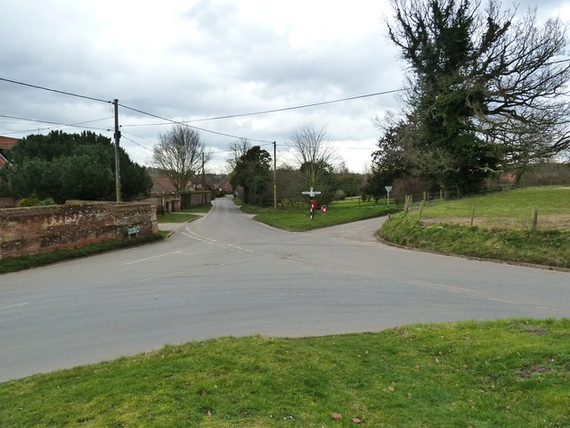
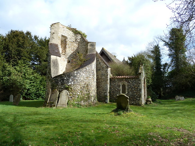
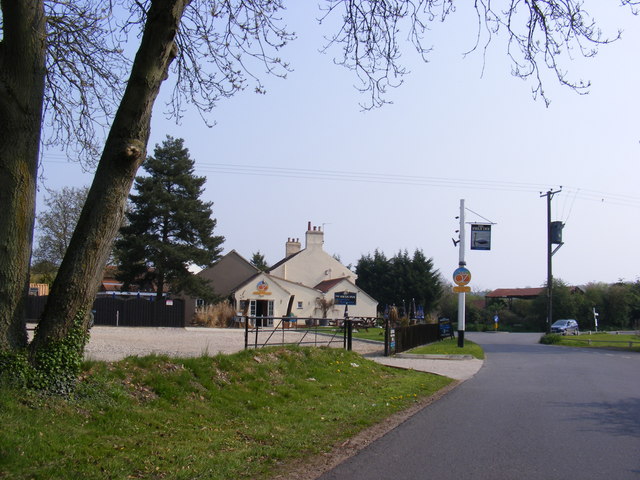
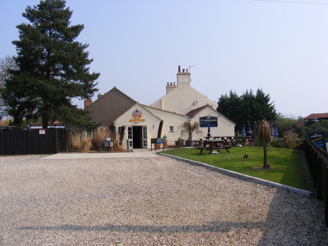
Primrose Grove Images

Images are sourced within 2km of 52.688684/1.1535654 or Grid Reference TG1314. Thanks to Geograph Open Source API. All images are credited.

Ringland: The Dryhill Plantation and Jennis' Wood
Honingham: Water Tower
Ringland: The Dryhill Plantation
Junction of Ringland Lane and Morton Lane, Weston Longville
Road junction in Ringland
St. Margaret's church at Morton Hall
The Swan Inn Public House Off Costessey Road at the junction of Ringland Road & The Street at Ringland
The Swan Inn Public House
Off Costessey Road at the junction of Ringland Road & The Street at Ringland
The Swan Inn Public House Off Costessey Road at the junction of Ringland Road & The Street at Ringland
The Swan Inn Public House
Off Costessey Road at the junction of Ringland Road & The Street at Ringland
The Swan Inn Public House sign Off Costessey Road
The Swan Inn Public House sign
Off Costessey Road
Costessey Lane At the junction with Field Road
Road no.C171
Costessey Lane
At the junction with Field Road Road no.C171
Field Road At the junction with Costessey Lane.
Field Road
At the junction with Costessey Lane.
Bridge on Ringland Road Over the River Wensum
Road No.C172
Bridge on Ringland Road
Over the River Wensum Road No.C172
Ringland Road & West Lodge At the entrance to Taverham Hall School & Taverham Hall Farm
<span class="nowrap"><a title="www.taverhamhall.co.uk" rel="nofollow ugc noopener" href="http://www.taverhamhall.co.uk">Link</a><img style="margin-left:2px;" alt="External link" title="External link - shift click to open in new window" src="https://s1.geograph.org.uk/img/external.png" width="10" height="10"/></span>
Ringland Road & West Lodge
At the entrance to Taverham Hall School & Taverham Hall Farm LinkExternal link
Entrance to Taverham Hall School Off Ringland Road near West Lodge
<span class="nowrap"><a title="www.taverhamhall.co.uk" rel="nofollow ugc noopener" href="http://www.taverhamhall.co.uk">Link</a><img style="margin-left:2px;" alt="External link" title="External link - shift click to open in new window" src="https://s1.geograph.org.uk/img/external.png" width="10" height="10"/></span>
Entrance to Taverham Hall School
Off Ringland Road near West Lodge LinkExternal link
Taverham Hall School signs Off Ringland Road near West Lodge at the entrance to Taverham Hall School
<span class="nowrap"><a title="www.taverhamhall.co.uk" rel="nofollow ugc noopener" href="http://www.taverhamhall.co.uk">Link</a><img style="margin-left:2px;" alt="External link" title="External link - shift click to open in new window" src="https://s1.geograph.org.uk/img/external.png" width="10" height="10"/></span>
Taverham Hall School signs
Off Ringland Road near West Lodge at the entrance to Taverham Hall School LinkExternal link
Footpath junction at Ringland
Footpath along Back Lane, Ringland
Back Lane, Ringland
Back Lane, Ringland
Show me another place!

Primrose Grove is located at Grid Ref: TG1314 (Lat: 52.688684, Lng: 1.1535654)

Administrative County: Norfolk

District: Broadland

Police Authority: Norfolk

What 3 Words

///convinced.cashier.wealth. Near Costessey, Norfolk

Related Wikis

Ringland, Norfolk

Ringland is a village and civil parish in Norfolk, England, and in the valley of the River Wensum, approximately 7 miles (11 km) north-west of Norwich...

Attlebridge

Attlebridge is a village and civil parish in the English county of Norfolk. It is situated about 8 miles (13 km) north-west of Norwich, where the A1067...

Taverham Hall School

Taverham Hall School was a private co-educational day and boarding preparatory school. Situated in Taverham, Norfolk, it was founded in 1920. The school...

Taverham High School

Taverham High School is a secondary school and sixth form with academy status, located in Taverham in the English county of Norfolk. As well as serving...

Nearby Amenities

Located within 500m of 52.688684,1.1535654
Marker: post
Operator: NTS
Pipeline: marker
Pressure: high
Ref: NT-BARO03-052
Substance: gas
Utility: gas
Lat/Long: 52.6858044/1.1521085
Marker: yes
Operator: NTS
Pipeline: marker
Pressure: high
Ref: NT-BARO03-051
Substance: gas
Utility: gas
Lat/Long: 52.6866038/1.156814
Turning Circle
Lat/Long: 52.687668/1.1499278
Marker: yes
Operator: NTS
Pipeline: marker
Pressure: high
Ref: NT-BARO03-050
Substance: gas
Utility: gas
Lat/Long: 52.6871741/1.1602753
Location Transition: yes
Power: pole
Lat/Long: 52.6891188/1.1475
Location Transition: yes
Power: pole
Lat/Long: 52.6888847/1.1479184
Power: pole
Lat/Long: 52.6875393/1.1499314
Power: pole
Lat/Long: 52.6879384/1.1493507
Power: pole
Lat/Long: 52.6881059/1.1486667
Power: pole
Lat/Long: 52.6884563/1.1483556
Power: pole
Lat/Long: 52.6899073/1.1467838
The data included in this document is from www.openstreetmap.org. The data is made available under ODbL.

Have you been to Primrose Grove?

Leave your review of Primrose Grove below (or comments, questions and feedback).