Ringland

Settlement in Norfolk Broadland

England

Ringland

Honingham: Edge of the Poetbreck Plantation
Honingham: Edge of the Poetbreck Plantation Credit: Michael Garlick

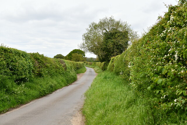
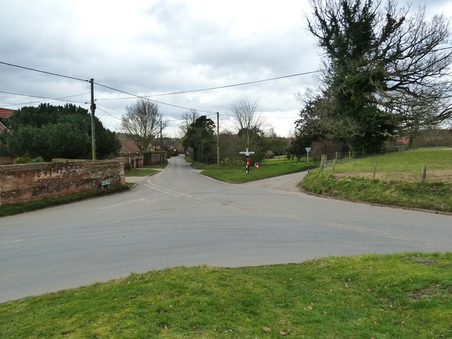
Ringland is a quaint village located in the county of Norfolk, England. Situated approximately 8 miles west of the city of Norwich, Ringland is nestled along the banks of the River Wensum. The village is known for its picturesque setting, surrounded by lush green fields and rolling countryside.

Ringland is steeped in history, with its origins dating back to the Saxon era. The village is home to several historical landmarks, including the Grade I listed All Saints Church, which dates back to the 14th century. The church's impressive tower and intricate stained glass windows attract visitors from near and far.

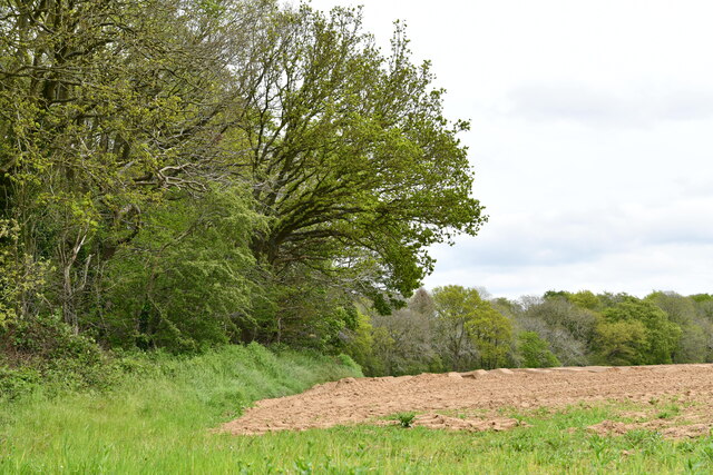
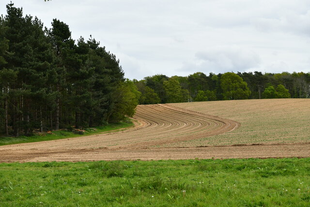
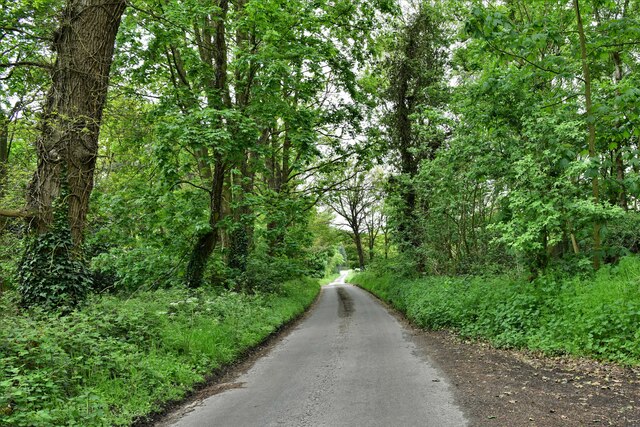
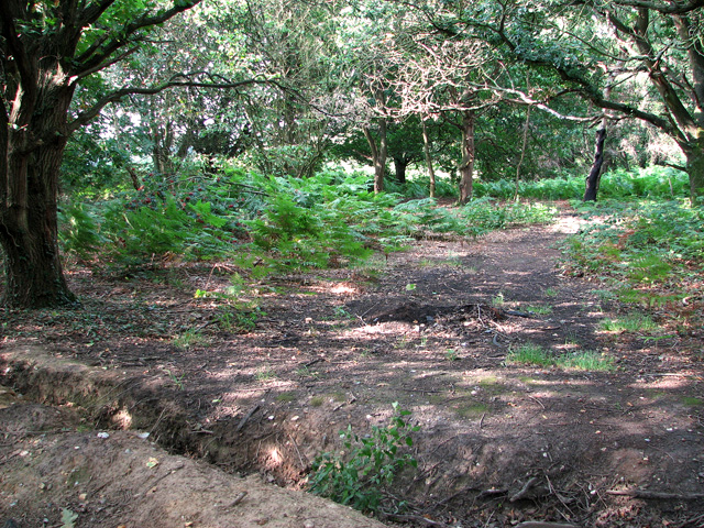
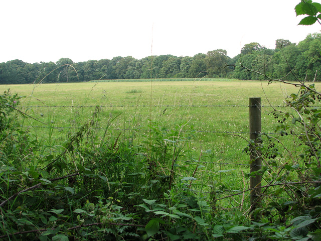
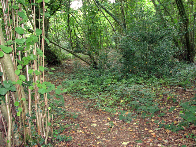
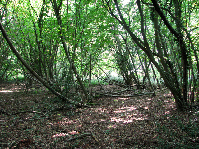
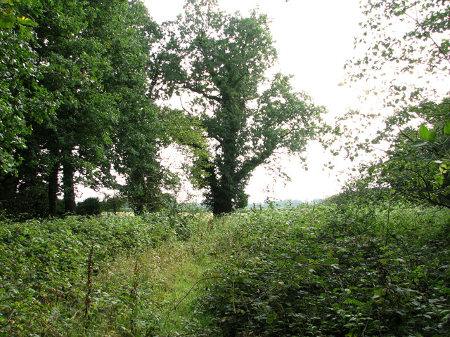
Nature enthusiasts will relish the beautiful countryside that surrounds Ringland. The River Wensum offers opportunities for fishing and boating, while the nearby Ringland Hills provide stunning views of the village and its surroundings. The area is also renowned for its diverse wildlife, making it a popular spot for birdwatching and nature walks.

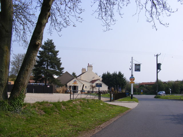
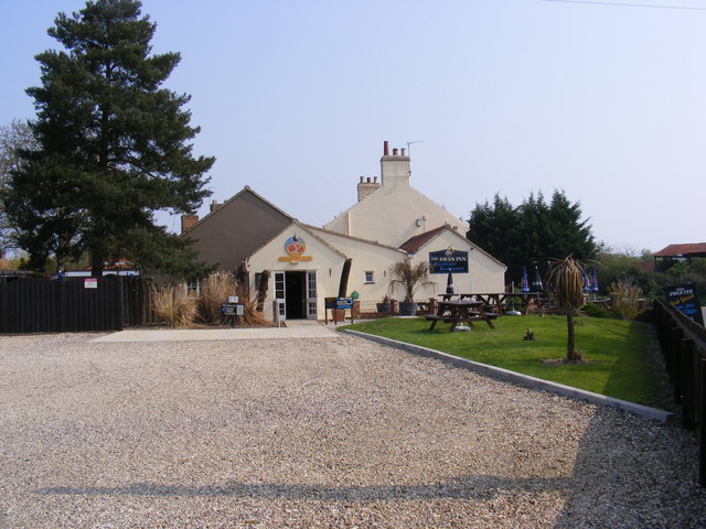
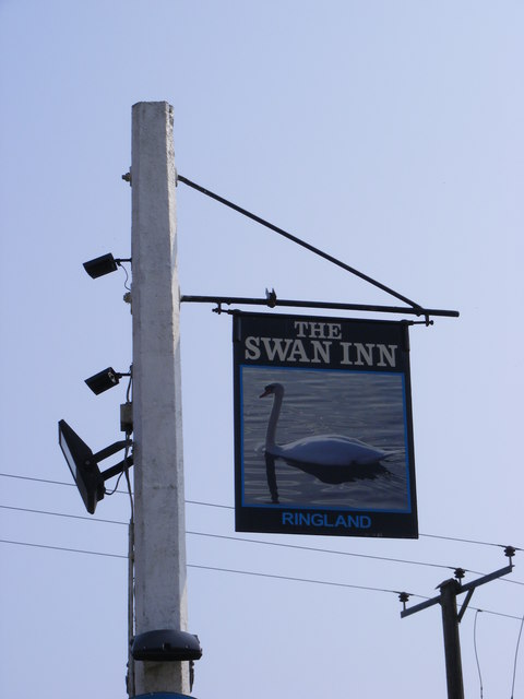
Despite its small size, Ringland boasts a close-knit community and a range of amenities for residents and visitors alike. The village pub, The Swan Inn, offers a warm welcome and serves traditional British cuisine. Ringland also hosts a variety of events and festivals throughout the year, including the popular Ringland Music Festival, which showcases local talent.

Overall, Ringland is a charming village that effortlessly combines history, natural beauty, and community spirit. Whether exploring its historic landmarks, enjoying outdoor activities, or simply soaking up the peaceful ambiance, visitors to Ringland are sure to be captivated by its timeless charm.

If you have any feedback on the listing, please let us know in the comments section below.
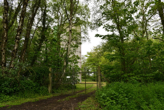
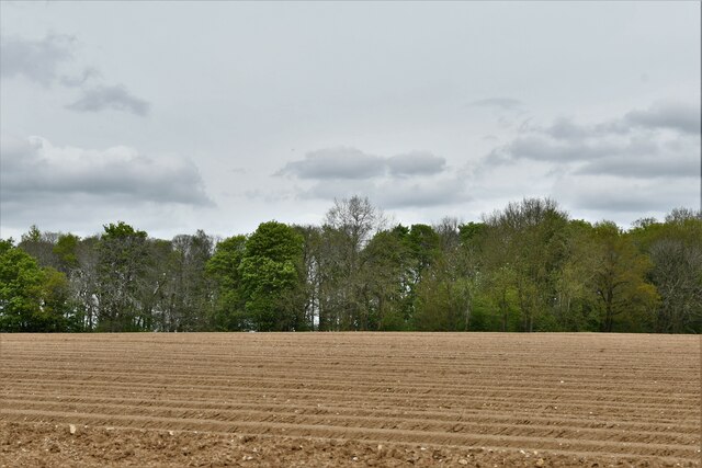
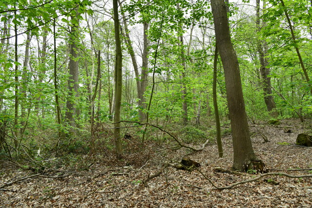
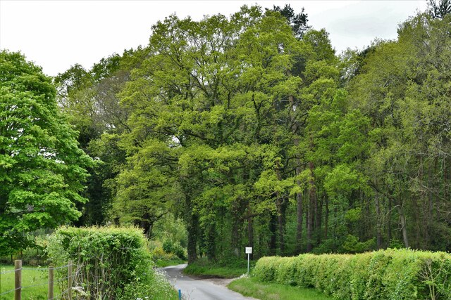
Ringland Images

Images are sourced within 2km of 52.681821/1.15684 or Grid Reference TG1314. Thanks to Geograph Open Source API. All images are credited.

Honingham: Edge of the Poetbreck Plantation
Easton: Weston Road
Easton: Weston Road
Honingham: Telegraph Hill crossroad
Ringland: The Dryhill Plantation and Jennis' Wood
Honingham: Water Tower
Honingham: Ploughed field
Honingham: The Poetbreck Plantation
Ringland: The Dryhill Plantation
Honingham: The Broadway
Road junction in Ringland
The Swan Inn Public House Off Costessey Road at the junction of Ringland Road & The Street at Ringland
The Swan Inn Public House
Off Costessey Road at the junction of Ringland Road & The Street at Ringland
The Swan Inn Public House Off Costessey Road at the junction of Ringland Road & The Street at Ringland
The Swan Inn Public House
Off Costessey Road at the junction of Ringland Road & The Street at Ringland
The Swan Inn Public House sign Off Costessey Road
The Swan Inn Public House sign
Off Costessey Road
Bracken growing at Ringland Hills
View towards Aves' Gap, Ringland
Path in Stonyhole Plantation, Ringland
Stonyhole Plantation, Ringland
On the southern edge of Stonyhole Plantation, Ringland
Show me another place!

Ringland is located at Grid Ref: TG1314 (Lat: 52.681821, Lng: 1.15684)

Administrative County: Norfolk

District: Broadland

Police Authority: Norfolk

What 3 Words

///vessel.hacksaw.putty. Near Costessey, Norfolk

Related Wikis

Ringland, Norfolk

Ringland is a village and civil parish in Norfolk, England, and in the valley of the River Wensum, approximately 7 miles (11 km) north-west of Norwich...

Taverham Hall School

Taverham Hall School was a private co-educational day and boarding preparatory school. Situated in Taverham, Norfolk, it was founded in 1920. The school...

Taverham High School

Taverham High School is a secondary school and sixth form with academy status, located in Taverham in the English county of Norfolk. As well as serving...

Honingham Hall

Honingham Hall was a large country house at Honingham in Norfolk. == History == The house was commissioned by Sir Thomas Richardson, Chief Justice of the...

Attlebridge

Attlebridge is a village and civil parish in the English county of Norfolk. It is situated about 8 miles (13 km) north-west of Norwich, where the A1067...

Taverham

Taverham is a village and civil parish in Norfolk, in England. It is approximately 5 miles (8 km) north-west of Norwich. Taverham sits on the River Wensum...

Weston Longville

Weston Longville is a civil parish in the English county of Norfolk, approximately 8 miles (13 km) north-west of Norwich. Its name is derived from the...

Easton, Norfolk

Easton is a village and civil parish in the English county of Norfolk. The village is located 6.2 miles (10.0 km) north-west of Norwich and 9 miles (14...

Nearby Amenities

Located within 500m of 52.681821,1.15684
Passing Place
Lat/Long: 52.680383/1.154255
Barrier: kissing_gate
Bicycle: no
Foot: yes
Lat/Long: 52.6799487/1.1597716
Ringland
Place: village
Wikidata: Q2329662
Wikipedia: en:Ringland, Norfolk
Lat/Long: 52.6812771/1.1599148
Board Type: notice
Information: board
Tourism: information
Lat/Long: 52.6807707/1.1632033
Post Box
Collection Times: Mo-Fr 15:30; Sa 10:00
Operator: Royal Mail
Post Box Mounting: pier
Post Box Type: lamp
Ref: NR8 806
Royal Cypher: EIIR
Lat/Long: 52.6807738/1.1632297
Telephone
Defibrillator
Access: yes
Booth: KX100
Covered: booth
Defibrillator Location: inside old phone box, Ringland
Emergency: defibrillator
Man Made: telephone_box
Ref GB The Circuit: DE2B38B4-87AD-47F4-B00F-AD420110CCA0
Lat/Long: 52.6807844/1.163269
Bench
Backrest: yes
Inscription: In memory of the late / Wally Skeet / Farmer and Councillor of / this Parish for 40 years / 1949 - 1989
Material: wood
Seats: 2
Lat/Long: 52.6808381/1.1631023
Ringland
Colour: brown
Inscription: 1977
Man Made: village_sign
Material: wood
Start Date: 1977
Lat/Long: 52.6808523/1.1630627
Bench
Backrest: yes
Inscription: In memory of the late / Dennis George Rutland / Builder and Resident of / this Village / 1926 - 1999
Material: wood
Seats: 2
Lat/Long: 52.6808647/1.1630272
Post Box
Collection Times: Mo-Fr 15:30; Sa 10:00
Operator: Royal Mail
Post Box Type: lamp
Ref: NR8 813
Lat/Long: 52.6818685/1.156482
Ringland Parish Council
Board Type: notice
Information: board
Lat/Long: 52.6819425/1.1566509
Board Type: notice
Information: board
Tourism: information
Lat/Long: 52.6819902/1.1560902
Ringland, Norfolk
Board Type: notice
Information: board
Tourism: information
Lat/Long: 52.6821439/1.1557265
Grit Bin
Operator: Ringland Parish Council
Lat/Long: 52.6815917/1.1555365
Waste Basket
Waste: dog_excrement
Lat/Long: 52.6818577/1.1564881
Grit Bin
Operator: Ringland Parish Council
Lat/Long: 52.6818637/1.1565379
Bench
Backrest: yes
Colour: brown
Inscription: Ringland Parish Council / June 2012 / Queen Elizabeth II / Diamond Jubilee
Material: wood
Lat/Long: 52.6820565/1.1556988
Bench
Backrest: yes
Colour: brown
Inscription: Remembered with much love / Mum and Dad / Ruth and Stanley Sparkes / (Parish Councillor for 40 years)
Material: wood
Lat/Long: 52.6820835/1.1557212
Grit Bin
Operator: Ringland Parish Council
Lat/Long: 52.6836058/1.1550156
Grit Bin
Lat/Long: 52.6807343/1.1604644
Entrance: main
Lat/Long: 52.6821721/1.1551512
Entrance: yes
Lat/Long: 52.6822321/1.1553845
Entrance: yes
Lat/Long: 52.6823369/1.1551512
Power: pole
Lat/Long: 52.6798794/1.1631732
Power: pole
Transformer: distribution
Lat/Long: 52.6805505/1.161582
Power: pole
Lat/Long: 52.6814367/1.1624056
Power: pole
Transformer: distribution
Lat/Long: 52.6818041/1.1631272
Power: pole
Lat/Long: 52.6822517/1.1635892
Power: pole
Lat/Long: 52.6827095/1.1639795
Give Way
Lat/Long: 52.6818401/1.1557725
Give Way
Lat/Long: 52.6819813/1.1562851
Give Way
Lat/Long: 52.681858/1.1567001
Give Way
Lat/Long: 52.6819107/1.1564029
Note: Way to road now obstructed.
Lat/Long: 52.6811923/1.1550021
Barrier: kissing_gate
Bicycle: no
Foot: yes
Lat/Long: 52.6806622/1.1603666
The data included in this document is from www.openstreetmap.org. The data is made available under ODbL.

Have you been to Ringland?

Leave your review of Ringland below (or comments, questions and feedback).