Church Hill Common
Downs, Moorland in Norfolk Broadland
England
Church Hill Common
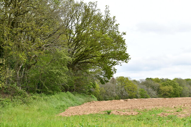
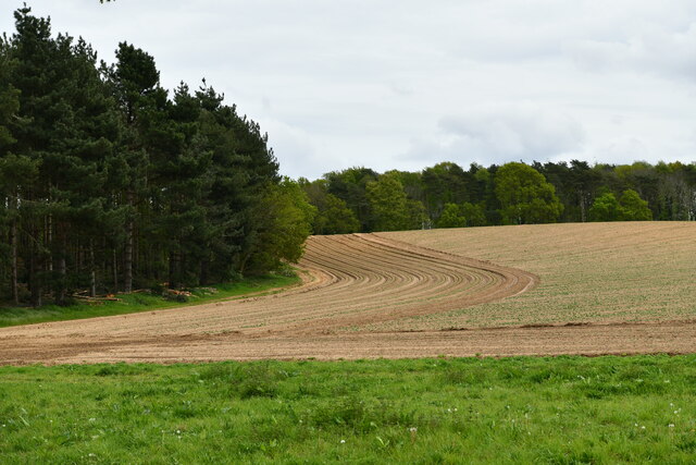
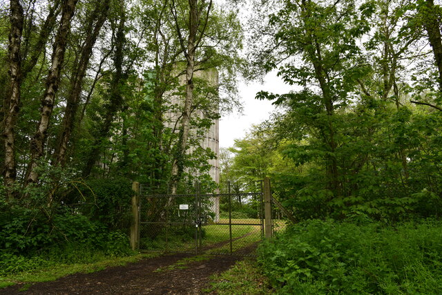
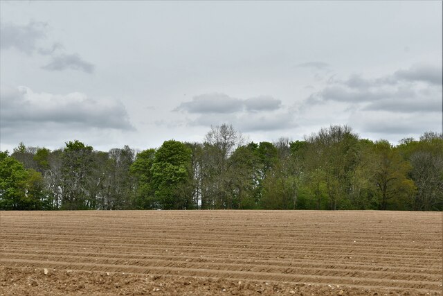
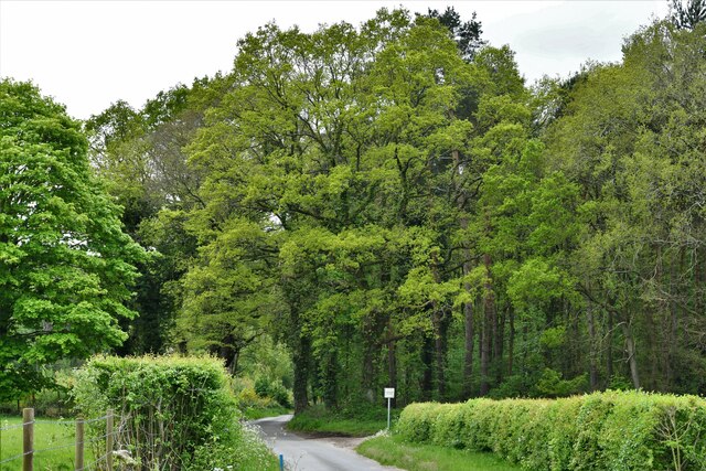
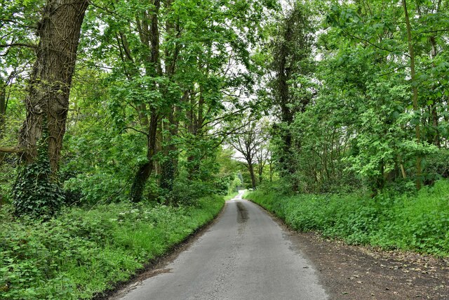
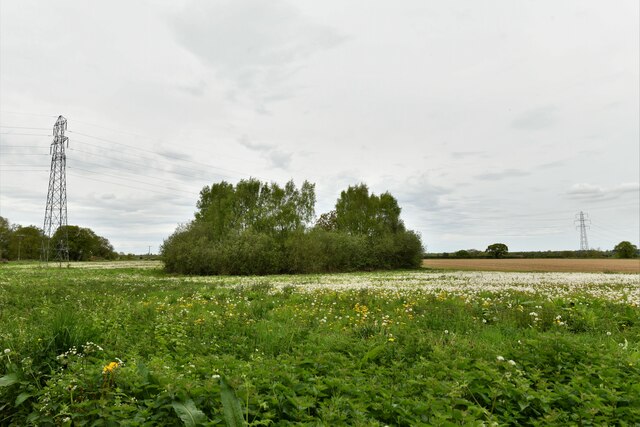
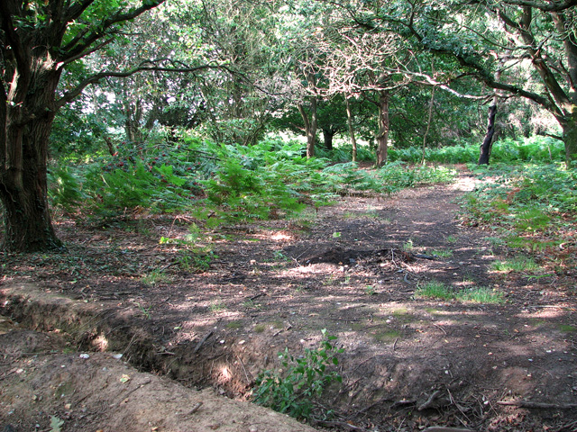
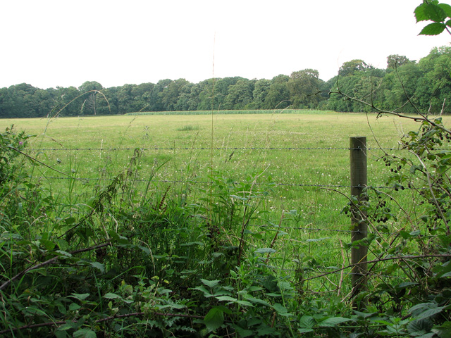
Church Hill Common is a picturesque area located in Norfolk, England. Situated on the downs and moorland, it covers a vast expanse of approximately 200 acres. The common is characterized by its rolling hills, open fields, and diverse range of flora and fauna.
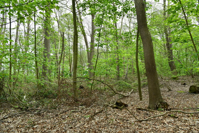
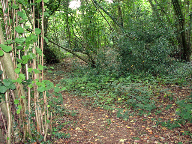
The terrain of Church Hill Common is predominantly made up of heathland and grassland, creating a unique habitat for various species. It is home to a rich array of plant life, including heather, gorse, and bracken, which provide a burst of vibrant colors throughout the year. The common also boasts a variety of trees, such as oak, birch, and hawthorn, adding to its natural beauty.
Wildlife flourishes in Church Hill Common, with many species finding sanctuary in its diverse ecosystem. Visitors may encounter birds such as skylarks, kestrels, and stonechats, as well as butterflies like the common blue and orange tip. The area is also known for its population of rabbits, foxes, and deer, which can often be spotted grazing or roaming freely.
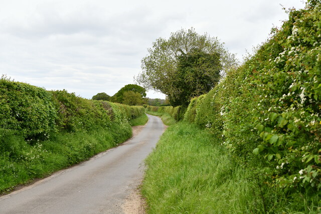
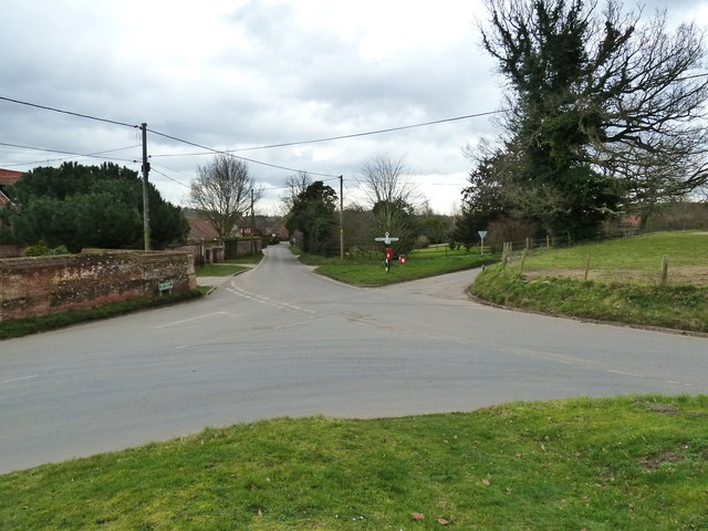
Church Hill Common offers a tranquil and serene environment, making it a popular destination for nature enthusiasts and walkers. Its well-maintained footpaths and trails provide ample opportunities for leisurely strolls, while the undulating landscape presents breathtaking panoramic views of the surrounding countryside.
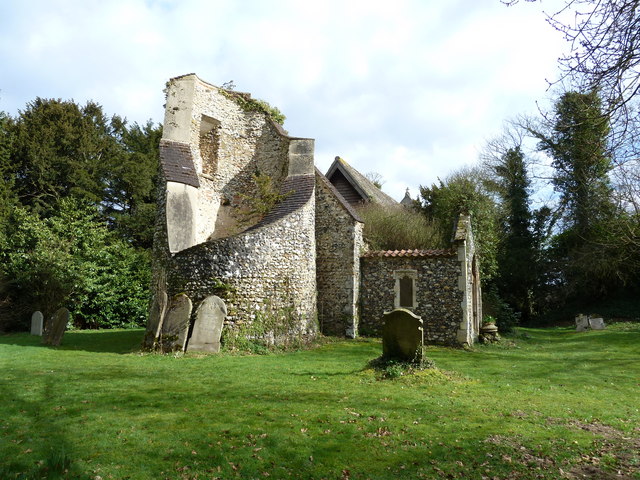
In addition to its natural beauty, Church Hill Common holds historical significance, with traces of Bronze Age barrows and Iron Age settlements still visible. These remnants serve as a reminder of the area's rich cultural heritage.
Overall, Church Hill Common is a captivating and diverse landscape that offers a haven for both wildlife and humans alike, providing a place of natural beauty and historical interest in the heart of Norfolk.
If you have any feedback on the listing, please let us know in the comments section below.
Church Hill Common Images
Images are sourced within 2km of 52.682029/1.1515467 or Grid Reference TG1314. Thanks to Geograph Open Source API. All images are credited.
Church Hill Common is located at Grid Ref: TG1314 (Lat: 52.682029, Lng: 1.1515467)
Administrative County: Norfolk
District: Broadland
Police Authority: Norfolk
What 3 Words
///choice.bulletins.deduced. Near Costessey, Norfolk
Nearby Locations
Related Wikis

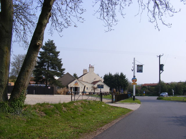
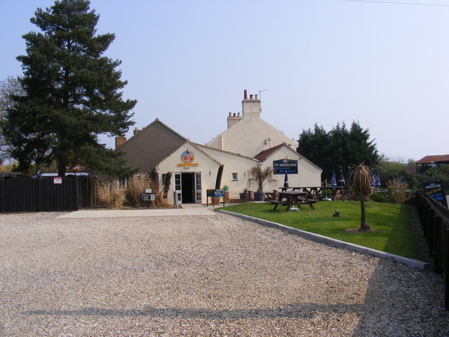
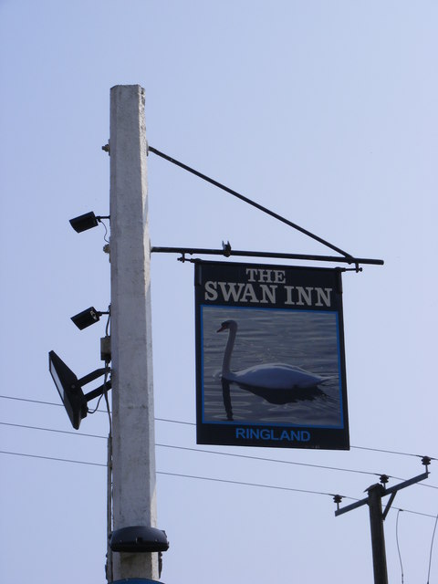
Ringland, Norfolk
Ringland is a village and civil parish in Norfolk, England, and in the valley of the River Wensum, approximately 7 miles (11 km) north-west of Norwich...

Taverham Hall School
Taverham Hall School was a private co-educational day and boarding preparatory school. Situated in Taverham, Norfolk, it was founded in 1920. The school...
Taverham High School
Taverham High School is a secondary school and sixth form with academy status, located in Taverham in the English county of Norfolk. As well as serving...

Honingham Hall
Honingham Hall was a large country house at Honingham in Norfolk. == History == The house was commissioned by Sir Thomas Richardson, Chief Justice of the...

Weston Longville
Weston Longville is a civil parish in the English county of Norfolk, approximately 8 miles (13 km) north-west of Norwich. Its name is derived from the...

Attlebridge
Attlebridge is a village and civil parish in the English county of Norfolk. It is situated about 8 miles (13 km) north-west of Norwich, where the A1067...

RAF Attlebridge
Royal Air Force Attlebridge, or simply RAF Attlebridge, is a former Royal Air Force station located near Attlebridge and 8 miles (13 km) northwest of Norwich...

Easton, Norfolk
Easton is a village and civil parish in the English county of Norfolk. The village is located 6.2 miles (10.0 km) north-west of Norwich and 9 miles (14...
Nearby Amenities
Located within 500m of 52.682029,1.1515467Have you been to Church Hill Common?
Leave your review of Church Hill Common below (or comments, questions and feedback).