Ringles Cross

Settlement in Sussex Wealdon

England

Ringles Cross

World War Two Pillbox just to the west of Buxted
World War Two Pillbox just to the west of Buxted Credit: tristan forward

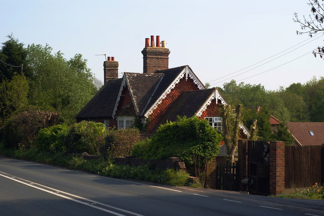
Ringles Cross is a small village located in the county of Sussex, England. Situated approximately 10 miles south of the historic town of Lewes, Ringles Cross is nestled within the picturesque South Downs National Park.

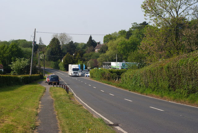
The village is characterized by its rural charm, with a scattering of traditional cottages and farmhouses surrounded by rolling green hills. The landscape is dotted with fields and patches of woodland, offering a serene and tranquil atmosphere for residents and visitors alike.

Despite its small size, Ringles Cross boasts a strong sense of community, with a close-knit population that takes pride in maintaining the village's unique character. The local pub, The Ringles Arms, serves as a popular gathering spot for locals, providing a friendly atmosphere and a place to socialize.

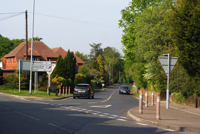
For outdoor enthusiasts, Ringles Cross offers ample opportunities for exploring the stunning natural surroundings. The South Downs Way, a popular long-distance trail, runs nearby, providing breathtaking views of the countryside and access to numerous walking and cycling routes.

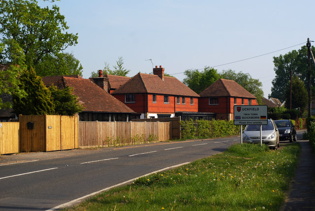
Although Ringles Cross lacks major amenities, the nearby town of Lewes offers a range of services, including shops, schools, and healthcare facilities. The village is also within easy reach of the coastal towns of Brighton and Eastbourne, providing additional options for shopping and entertainment.

In conclusion, Ringles Cross is a charming and idyllic village in Sussex, offering a peaceful retreat for those seeking a slower pace of life amidst the beauty of the English countryside.

If you have any feedback on the listing, please let us know in the comments section below.

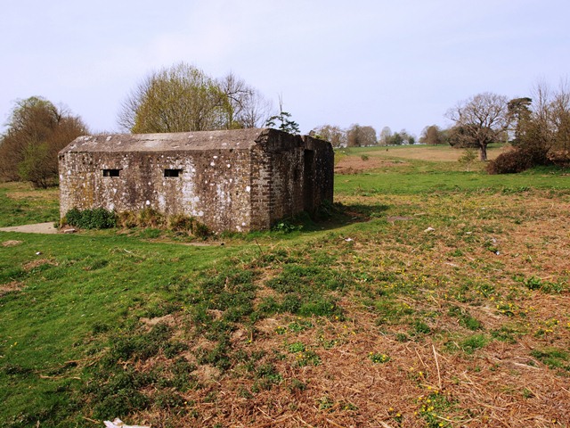
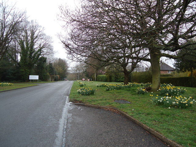
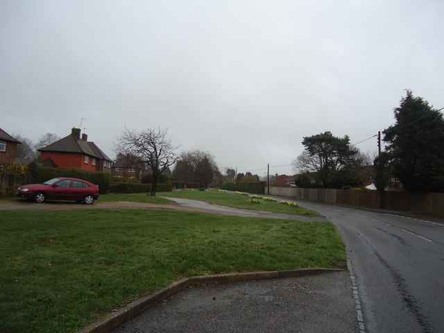
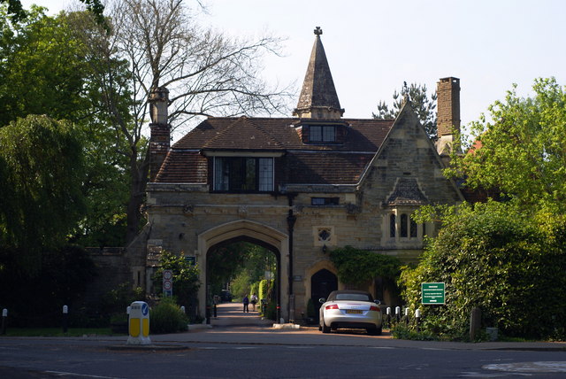
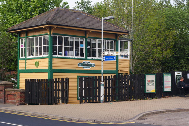
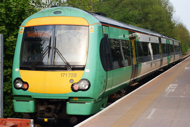
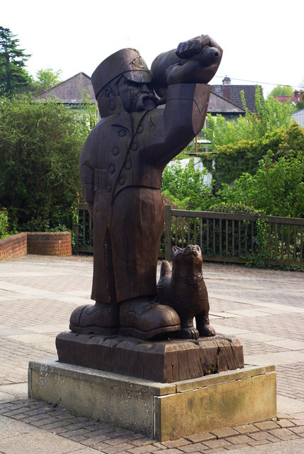
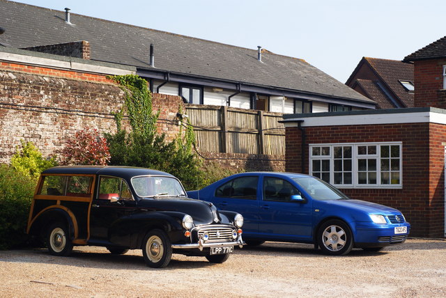
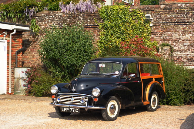
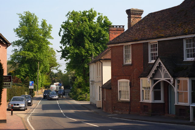
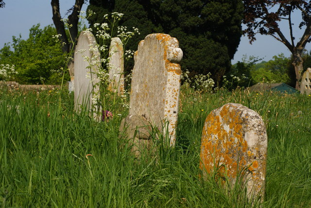
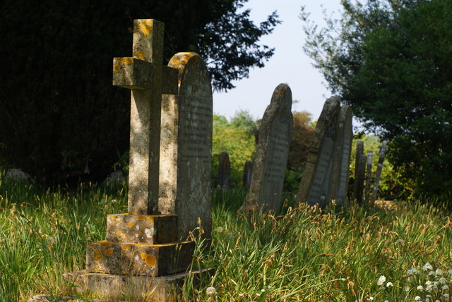
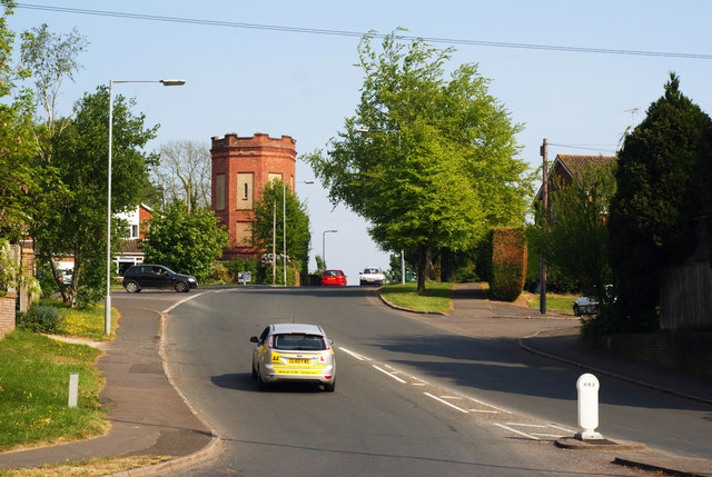
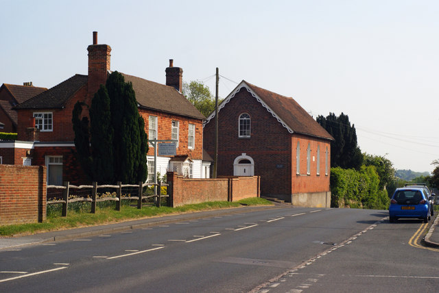
Ringles Cross Images

Images are sourced within 2km of 50.983529/0.10154945 or Grid Reference TQ4722. Thanks to Geograph Open Source API. All images are credited.

World War Two Pillbox just to the west of Buxted
Batts Bridge Road, Maresfield
Entrance to Maresfield Park, Sussex Formerly a large private estate, the road beyond the gatehouse is still marked as 'private'. Judging from the gatehouse, it must have been an impressive estate in its heyday.
Entrance to Maresfield Park, Sussex
Formerly a large private estate, the road beyond the gatehouse is still marked as 'private'. Judging from the gatehouse, it must have been an impressive estate in its heyday.
Former Signal Box at Uckfield, Sussex Formerly a significant intermediate station on the London- Lewes branch line (via Oxted). The route now terminates at Uckfield; with the new station out of picture, to the right. A taxi company is now based in this building.
Former Signal Box at Uckfield, Sussex
Formerly a significant intermediate station on the London- Lewes branch line (via Oxted). The route now terminates at Uckfield; with the new station out of picture, to the right. A taxi company is now based in this building.
Train at Uckfield Station, Sussex The end of the line; which runs to London, via Oxted. Whilst many trains run through to London; this one was shortly to depart, for Oxted, to connect with a service from East Grinstead.
Train at Uckfield Station, Sussex
The end of the line; which runs to London, via Oxted. Whilst many trains run through to London; this one was shortly to depart, for Oxted, to connect with a service from East Grinstead.
Sculpture at Uckfield, Sussex Sculpture of a Town Crier, located close to the bridge over the River Uck.
Sculpture at Uckfield, Sussex
Sculpture of a Town Crier, located close to the bridge over the River Uck.
Morris 1000 Traveller, Uckfield, Sussex A fine survivor, some 45 years old.
Morris 1000 Traveller, Uckfield, Sussex
A fine survivor, some 45 years old.
Morris 1000 Traveller, Uckfield, Sussex At some stage in its 45 year life, some of the timbers have been replaced on the car. Timber rot was always a problem with this model, especially if left out in all weathers.
Morris 1000 Traveller, Uckfield, Sussex
At some stage in its 45 year life, some of the timbers have been replaced on the car. Timber rot was always a problem with this model, especially if left out in all weathers.
High Street, Maresfield, Sussex Photographed from close to Maresfield church.
High Street, Maresfield, Sussex
Photographed from close to Maresfield church.
Graves in Maresfield Cemetery, Sussex Photographed from the footpath in High Street.
Graves in Maresfield Cemetery, Sussex
Photographed from the footpath in High Street.
Graves in Maresfield Cemetery, Sussex Photographed from the footpath on High Street.
Graves in Maresfield Cemetery, Sussex
Photographed from the footpath on High Street.
The Mill House, Maresfield, Sussex The former mill house lies just within this grid square. The pond, serving this house, lies to the west; an aerial view suggests that the pond may have been truncated by the construction of the A22 Maresfield bypass, some years ago.
The Mill House, Maresfield, Sussex
The former mill house lies just within this grid square. The pond, serving this house, lies to the west; an aerial view suggests that the pond may have been truncated by the construction of the A22 Maresfield bypass, some years ago.
London Road, Budlett's Common, Sussex Chichester Caravans can be seen, in the centre of picture.
London Road, Budlett's Common, Sussex
Chichester Caravans can be seen, in the centre of picture.
London Road, Ringles Cross, Sussex Looking in the direction of Uckfield. The town sign can be seen, to the right of picture.
London Road, Ringles Cross, Sussex
Looking in the direction of Uckfield. The town sign can be seen, to the right of picture.
Road Junction at Ringles Cross, Sussex The junction of London Road with Coopers Green Road.
Road Junction at Ringles Cross, Sussex
The junction of London Road with Coopers Green Road.
Brown Lane, Uckfield, Sussex Looking in the direction of the water tower, from London Road.
Brown Lane, Uckfield, Sussex
Looking in the direction of the water tower, from London Road.
The Old Chapel, Uckfield, Sussex This chapel was re-built in the 1880s, but was built nearly 100 years earlier. To the left of picture, is the Veterinary Centre in Henley House.
The Old Chapel, Uckfield, Sussex
This chapel was re-built in the 1880s, but was built nearly 100 years earlier. To the left of picture, is the Veterinary Centre in Henley House.
Show me another place!

Ringles Cross is located at Grid Ref: TQ4722 (Lat: 50.983529, Lng: 0.10154945)

Administrative County: East Sussex

District: Wealdon

Police Authority: Sussex

What 3 Words

///warrior.soak.hamsters. Near Uckfield, East Sussex

Related Wikis

Uckfield Baptist Church

Uckfield Baptist Church is a Baptist congregation based in the town of Uckfield in East Sussex, England. Although services now take place in a school...

Cooper's Green

Cooper's Green is a village in the civil parish of Buxted in the Wealden district of East Sussex, England. Its nearest town is Uckfield, which lies approximately...

Uckfield College

Uckfield College (formerly Uckfield Community Technology College) is a community college situated in Uckfield, UK. It has approximately 1,720 students...

St Margaret the Queen, Buxted

The Church of St Margaret the Queen is a grade I listed building in Buxted Park, East Sussex, England. It is dedicated to Saint Margaret of Scotland, an...

Nearby Amenities

Located within 500m of 50.983529,0.10154945
Turning Circle
Lat/Long: 50.9803111/0.1048897
Turning Circle
Lat/Long: 50.9813335/0.1018113
Turning Circle
Source: Bing
Lat/Long: 50.9799331/0.1033637
Bus Stop
Snatt's Road
Bench: yes
Bus: yes
Covered: yes
Public Transport: platform
Shelter: yes
Lat/Long: 50.9829382/0.1016955
Bus Stop
Snatt's Road
Bench: yes
Bus: yes
Naptan AtcoCode: 1400WE0227
Naptan NaptanCode: esuawjwp
Public Transport: platform
Lat/Long: 50.9826742/0.1015186
Turning Circle
Lat/Long: 50.9809824/0.1066322
Turning Circle
Lat/Long: 50.9824986/0.1028788
Ringles Cross
Place: village
Lat/Long: 50.9851489/0.1015866
Post Box
Brand: Royal Mail
Brand Wikidata: Q638098
Brand Wikipedia: en:Royal Mail
Operator: Royal Mail
Operator Wikidata: Q638098
Post Box Type: wall
Ref: TN22 8D
Royal Cypher: EVIIR
Royal Cypher Wikidata: Q33102324
Lat/Long: 50.9795766/0.100608
Post Box
Brand: Royal Mail
Brand Wikidata: Q638098
Brand Wikipedia: en:Royal Mail
Operator: Royal Mail
Operator Wikidata: Q638098
Post Box Type: lamp
Ref: TN22 9D
Royal Cypher: EIIR
Royal Cypher Wikidata: Q33102113
Lat/Long: 50.9802995/0.1063887
Post Box
Brand: Royal Mail
Brand Wikidata: Q638098
Brand Wikipedia: en:Royal Mail
Operator: Royal Mail
Operator Wikidata: Q638098
Post Box Type: lamp
Ref: TN22 7D
Royal Cypher: EIIR
Royal Cypher Wikidata: Q33102113
Lat/Long: 50.9839356/0.1013991
Bus Stop
Browns Lane
Bench: no
Bus: yes
Covered: no
Naptan AtcoCode: 1400WE10053
Naptan NaptanCode: esudgptm
Public Transport: platform
Shelter: no
Lat/Long: 50.9799514/0.1008098
Bus Stop
Parkview Road
Bus: yes
Naptan AtcoCode: 1400WE0230
Naptan NaptanCode: esuawmag
Public Transport: platform
Lat/Long: 50.9808303/0.1020487
Bus Stop
Nevill Green
Bus: yes
Naptan AtcoCode: 1400WE0231
Naptan NaptanCode: esuawmaj
Public Transport: platform
Lat/Long: 50.9815106/0.1035899
Bus Stop
Browns Lane
Bus: yes
Naptan AtcoCode: 1400WE0229
Naptan NaptanCode: esuawmad
Public Transport: platform
Lat/Long: 50.9795894/0.1018006
Bus Stop
Nevill Road
Bus: yes
Naptan AtcoCode: 1400WE0232
Naptan NaptanCode: esuawmam
Public Transport: platform
Lat/Long: 50.9809828/0.1058443
Browns Lane
Location: outdoor
Power: substation
Lat/Long: 50.9792993/0.1013245
Bus Stop
Bus: yes
Public Transport: platform
Lat/Long: 50.9804634/0.0987431
Bus Stop
Claremont Rise
Bus: yes
Public Transport: platform
Lat/Long: 50.9803842/0.0986476
Bench
Geoff Norris Memorial Bench
Backrest: yes
Description: Geoff Norris Memorial Bench
Inscription: Geoff Norris. Ministry of Agriculture, Farms and Fisheries adviser for the refurbishment of these woods
Material: wood
Operator: The Woodland Trust
Seats: 3
Lat/Long: 50.9828733/0.107082
Bench
Backrest: no
Material: wood
Seats: 3
Lat/Long: 50.983433/0.1077237
Bench
Lat/Long: 50.9851983/0.1043533
Bus Stop
The Mount
Bench: no
Bus: yes
Naptan AtcoCode: 1400WE0223
Naptan NaptanCode: esuawjwd
Public Transport: platform
Shelter: no
Lat/Long: 50.9874178/0.103569
Ringles Cross
Power: substation
Ref: 44 4580
Lat/Long: 50.986942/0.1032491
Addr Housename: The Old Dairy
Addr Postcode: TN22 2AL
Addr Street: Snatts Road
Building: house
Lat/Long: 50.9818933/0.0996405
Uckfield Nth
Power: substation
Ref: 444142
Lat/Long: 50.9819758/0.0992801
Generator Method: photovoltaic
Generator Output Electricity: yes
Generator Source: solar
Generator Type: solar_photovoltaic_panel
Power: generator
Lat/Long: 50.9814868/0.1011784
Generator Method: photovoltaic
Generator Output Electricity: yes
Generator Source: solar
Generator Type: solar_photovoltaic_panel
Power: generator
Lat/Long: 50.9812082/0.1010589
Generator Method: photovoltaic
Generator Orientation: 240
Generator Output Electricity: yes
Generator Source: solar
Generator Type: solar_photovoltaic_panel
Location: roof
Power: generator
Lat/Long: 50.9816335/0.1038323
Generator Method: photovoltaic
Generator Orientation: 240
Generator Output Electricity: yes
Generator Source: solar
Generator Type: solar_photovoltaic_panel
Location: roof
Power: generator
Lat/Long: 50.981593/0.1038752
Generator Method: photovoltaic
Generator Orientation: 240
Generator Output Electricity: yes
Generator Source: solar
Generator Type: solar_photovoltaic_panel
Location: roof
Power: generator
Lat/Long: 50.9814056/0.1046249
Generator Method: photovoltaic
Generator Orientation: 240
Generator Output Electricity: yes
Generator Source: solar
Generator Type: solar_photovoltaic_panel
Location: roof
Power: generator
Lat/Long: 50.9800504/0.1047912
Generator Method: photovoltaic
Generator Orientation: 240
Generator Output Electricity: yes
Generator Source: solar
Generator Type: solar_photovoltaic_panel
Location: roof
Power: generator
Lat/Long: 50.9801146/0.104692
Generator Method: photovoltaic
Generator Orientation: 240
Generator Output Electricity: yes
Generator Source: solar
Generator Type: solar_photovoltaic_panel
Location: roof
Power: generator
Lat/Long: 50.9800048/0.1048569
Generator Method: photovoltaic
Generator Orientation: 150
Generator Output Electricity: yes
Generator Source: solar
Generator Type: solar_photovoltaic_panel
Location: roof
Power: generator
Lat/Long: 50.9804186/0.1055825
Generator Method: photovoltaic
Generator Output Electricity: yes
Generator Solar Modules: 16
Generator Source: solar
Generator Type: solar_photovoltaic_panel
Location: roof
Power: generator
Lat/Long: 50.9807276/0.1067345
Generator Method: photovoltaic
Generator Output Electricity: yes
Generator Source: solar
Generator Type: solar_photovoltaic_panel
Location: roof
Power: generator
Lat/Long: 50.9823377/0.1007778
Inscription: Buxted Park Manor Entrance
Marker: yes
Operator: The Woodland Trust
Lat/Long: 50.982004/0.1039259
Bus Stop
The Mount
Bus: yes
Naptan AtcoCode: 1400WE0224
Naptan NaptanCode: esuawjwg
Public Transport: platform
Shelter: yes
Lat/Long: 50.987372/0.1037265
The data included in this document is from www.openstreetmap.org. The data is made available under ODbL.

Have you been to Ringles Cross?

Leave your review of Ringles Cross below (or comments, questions and feedback).