Round Wood

Wood, Forest in Sussex Wealden

England

Round Wood

New roundabout east of Maresfield
New roundabout east of Maresfield Credit: nick macneill

Round Wood is a small woodland located in the county of Sussex, England. It is situated in the heart of the Sussex Weald, a region known for its picturesque landscapes and rich biodiversity. The wood covers an approximate area of 200 acres and is primarily composed of native broadleaf trees such as oak, ash, beech, and birch.

The woodland is characterized by its circular shape, hence the name "Round Wood." This circular design creates a sense of tranquility and isolation, making it a popular destination for nature enthusiasts and hikers looking for a peaceful retreat. The wood is crisscrossed by a network of well-maintained walking trails, allowing visitors to explore its diverse flora and fauna.

Round Wood is home to a variety of wildlife, including deer, foxes, badgers, and a wide range of bird species. It provides a natural habitat for many endangered and rare plant species, contributing to its ecological importance within the region.

In addition to its natural beauty, Round Wood offers several amenities to enhance visitors' experiences. These include picnic areas, benches, and interpretation boards providing information about the wood's history and ecology. The wood is also managed sustainably, with regular tree maintenance and conservation efforts to ensure its long-term preservation.

Overall, Round Wood in Sussex is a charming woodland that showcases the beauty of the English countryside. Its circular design, diverse wildlife, and well-maintained trails make it an ideal destination for nature lovers and those seeking a peaceful escape from the hustle and bustle of everyday life.

If you have any feedback on the listing, please let us know in the comments section below.
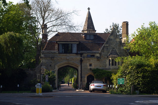
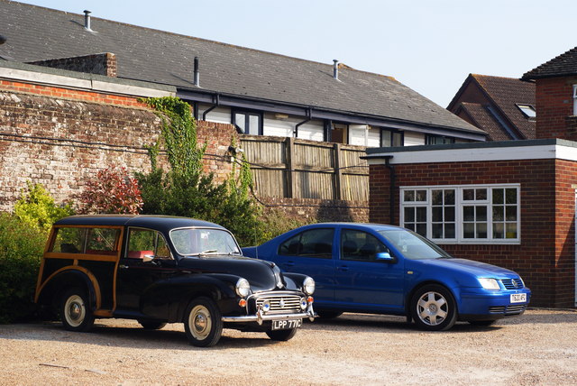
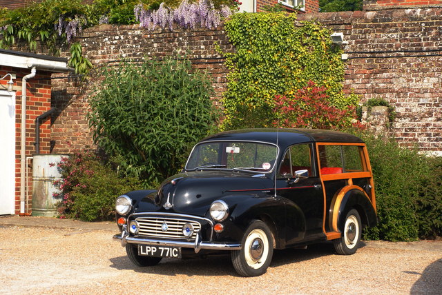
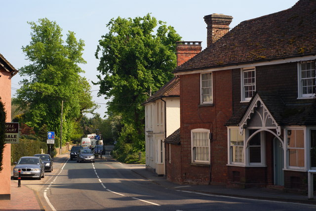
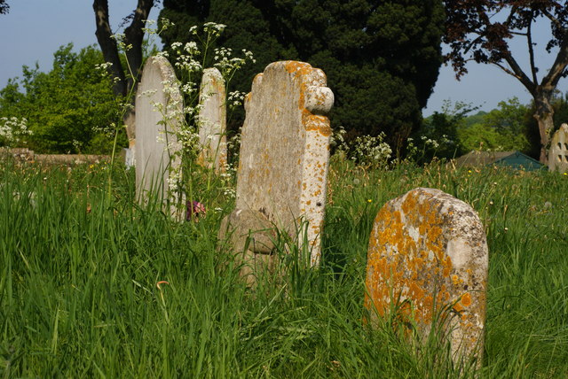
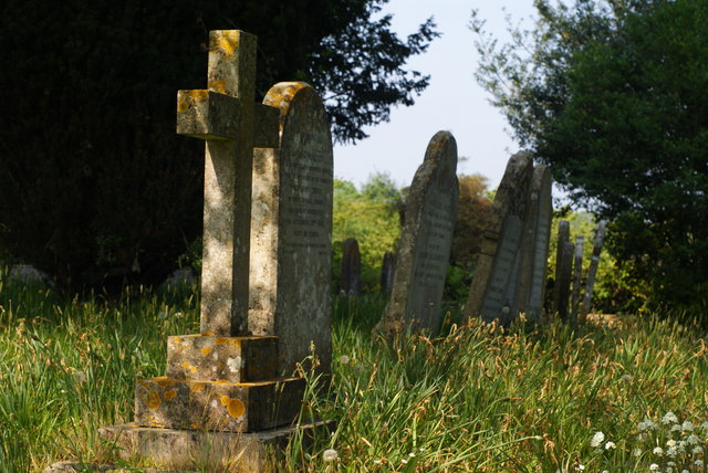
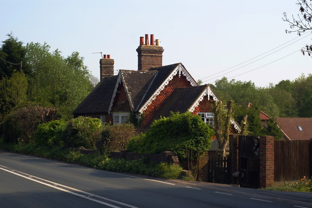
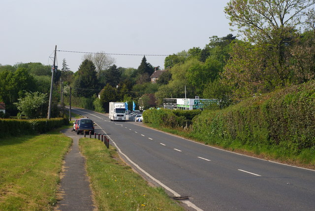
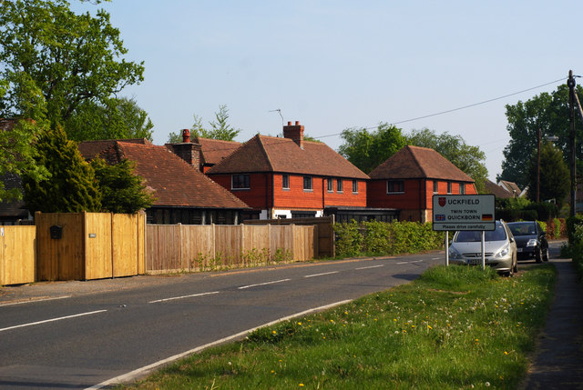
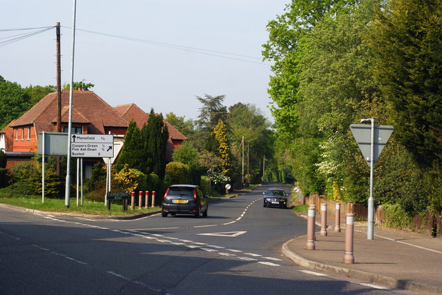
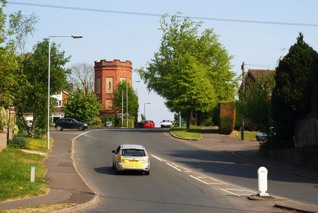
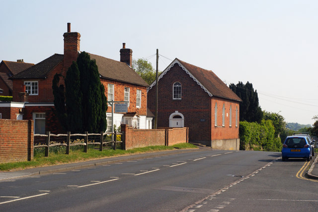
Round Wood Images

Images are sourced within 2km of 50.987067/0.10135303 or Grid Reference TQ4722. Thanks to Geograph Open Source API. All images are credited.

New roundabout east of Maresfield
World War Two Pillbox just to the west of Buxted
Batts Bridge Road, Maresfield
Nursery Lane, Maresfield, Sussex The large tree, to the right of picture, marks the position of Oak Tree Cottage.
Nursery Lane, Maresfield, Sussex
The large tree, to the right of picture, marks the position of Oak Tree Cottage.
Entrance to Maresfield Park, Sussex Formerly a large private estate, the road beyond the gatehouse is still marked as 'private'. Judging from the gatehouse, it must have been an impressive estate in its heyday.
Entrance to Maresfield Park, Sussex
Formerly a large private estate, the road beyond the gatehouse is still marked as 'private'. Judging from the gatehouse, it must have been an impressive estate in its heyday.
Morris 1000 Traveller, Uckfield, Sussex A fine survivor, some 45 years old.
Morris 1000 Traveller, Uckfield, Sussex
A fine survivor, some 45 years old.
Morris 1000 Traveller, Uckfield, Sussex At some stage in its 45 year life, some of the timbers have been replaced on the car. Timber rot was always a problem with this model, especially if left out in all weathers.
Morris 1000 Traveller, Uckfield, Sussex
At some stage in its 45 year life, some of the timbers have been replaced on the car. Timber rot was always a problem with this model, especially if left out in all weathers.
High Street, Maresfield, Sussex Photographed from close to Maresfield church.
High Street, Maresfield, Sussex
Photographed from close to Maresfield church.
Graves in Maresfield Cemetery, Sussex Photographed from the footpath in High Street.
Graves in Maresfield Cemetery, Sussex
Photographed from the footpath in High Street.
Graves in Maresfield Cemetery, Sussex Photographed from the footpath on High Street.
Graves in Maresfield Cemetery, Sussex
Photographed from the footpath on High Street.
The Mill House, Maresfield, Sussex The former mill house lies just within this grid square. The pond, serving this house, lies to the west; an aerial view suggests that the pond may have been truncated by the construction of the A22 Maresfield bypass, some years ago.
The Mill House, Maresfield, Sussex
The former mill house lies just within this grid square. The pond, serving this house, lies to the west; an aerial view suggests that the pond may have been truncated by the construction of the A22 Maresfield bypass, some years ago.
London Road, Budlett's Common, Sussex Chichester Caravans can be seen, in the centre of picture.
London Road, Budlett's Common, Sussex
Chichester Caravans can be seen, in the centre of picture.
London Road, Ringles Cross, Sussex Looking in the direction of Uckfield. The town sign can be seen, to the right of picture.
London Road, Ringles Cross, Sussex
Looking in the direction of Uckfield. The town sign can be seen, to the right of picture.
Road Junction at Ringles Cross, Sussex The junction of London Road with Coopers Green Road.
Road Junction at Ringles Cross, Sussex
The junction of London Road with Coopers Green Road.
Brown Lane, Uckfield, Sussex Looking in the direction of the water tower, from London Road.
Brown Lane, Uckfield, Sussex
Looking in the direction of the water tower, from London Road.
The Old Chapel, Uckfield, Sussex This chapel was re-built in the 1880s, but was built nearly 100 years earlier. To the left of picture, is the Veterinary Centre in Henley House.
The Old Chapel, Uckfield, Sussex
This chapel was re-built in the 1880s, but was built nearly 100 years earlier. To the left of picture, is the Veterinary Centre in Henley House.
Houses in Uckfield, Sussex Located beside London Road.
Houses in Uckfield, Sussex
Located beside London Road.
Show me another place!

Round Wood is located at Grid Ref: TQ4722 (Lat: 50.987067, Lng: 0.10135303)

Administrative County: East Sussex

District: Wealden

Police Authority: Sussex

What 3 Words

///recorder.leotard.sleepless. Near Uckfield, East Sussex

Related Wikis

Nearby Amenities

Located within 500m of 50.987067,0.10135303
Bus Stop
Snatt's Road
Bench: yes
Bus: yes
Covered: yes
Public Transport: platform
Shelter: yes
Lat/Long: 50.9829382/0.1016955
Bus Stop
Snatt's Road
Bench: yes
Bus: yes
Naptan AtcoCode: 1400WE0227
Naptan NaptanCode: esuawjwp
Public Transport: platform
Lat/Long: 50.9826742/0.1015186
Budlett's Common
Place: locality
Source: OS_OpenData_StreetView
Lat/Long: 50.9897678/0.0979519
Cooper's Green
Place: locality
Wikidata: Q5167709
Lat/Long: 50.9903545/0.1026876
Ringles Cross
Place: village
Lat/Long: 50.9851489/0.1015866
Post Box
Operator: Royal Mail
Operator Wikidata: Q638098
Post Box Type: lamp
Ref: TN22 62D
Royal Cypher: EIIR
Royal Cypher Wikidata: Q33102113
Lat/Long: 50.9906616/0.1037658
Post Box
Operator: Royal Mail
Operator Wikidata: Q638098
Post Box Type: wall
Ref: TN22 43D
Royal Cypher: GR
Royal Cypher Wikidata: Q33102273
Lat/Long: 50.9885939/0.0984162
Post Box
Brand: Royal Mail
Brand Wikidata: Q638098
Brand Wikipedia: en:Royal Mail
Operator: Royal Mail
Operator Wikidata: Q638098
Post Box Type: lamp
Ref: TN22 7D
Royal Cypher: EIIR
Royal Cypher Wikidata: Q33102113
Lat/Long: 50.9839356/0.1013991
Whitehouse Farm
Place: farm
Lat/Long: 50.9867557/0.0958192
Bench
Lat/Long: 50.9851983/0.1043533
Bus Stop
Budletts Common London Road
Bus: yes
Public Transport: platform
Lat/Long: 50.9897679/0.0969118
Mockbeggar Farm
Place: farm
Lat/Long: 50.9882736/0.1006311
Bus Stop
The Mount
Bench: no
Bus: yes
Naptan AtcoCode: 1400WE0223
Naptan NaptanCode: esuawjwd
Public Transport: platform
Shelter: no
Lat/Long: 50.9874178/0.103569
Ringles Cross
Power: substation
Ref: 44 4580
Lat/Long: 50.986942/0.1032491
Budletts Manor
Operator: UK Power Networks
Operator Wikidata: Q7864927
Power: substation
Ref: 444171
Lat/Long: 50.991512/0.1022645
Generator Method: photovoltaic
Generator Output Electricity: yes
Generator Source: solar
Generator Type: solar_photovoltaic_panel
Power: generator
Lat/Long: 50.9898675/0.1004782
Bus Stop
The Mount
Bus: yes
Naptan AtcoCode: 1400WE0224
Naptan NaptanCode: esuawjwg
Public Transport: platform
Shelter: yes
Lat/Long: 50.987372/0.1037265
Bus Stop
Cooper's Green
Bus: yes
Naptan AtcoCode: 1400WE0225
Naptan NaptanCode: esuawjwj
Public Transport: platform
Lat/Long: 50.9906193/0.1039277
Traffic Signals
Traffic Signals: signal
Traffic Signals Direction: forward
Lat/Long: 50.9912497/0.1032536
Traffic Signals
Traffic Signals: signal
Traffic Signals Direction: backward
Lat/Long: 50.9911486/0.1040513
Traffic Signals
Traffic Signals: signal
Traffic Signals Direction: backward
Lat/Long: 50.9909202/0.1037534
The data included in this document is from www.openstreetmap.org. The data is made available under ODbL.

Have you been to Round Wood?

Leave your review of Round Wood below (or comments, questions and feedback).