Grassy Grove

Wood, Forest in Essex Uttlesford

England

Grassy Grove

Arkesden church
Arkesden church Credit: mym

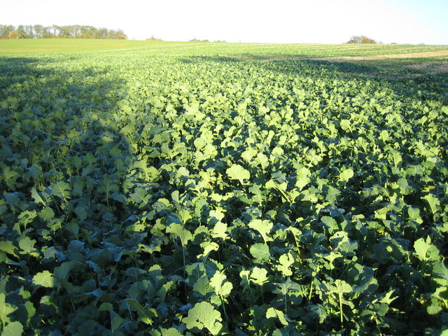
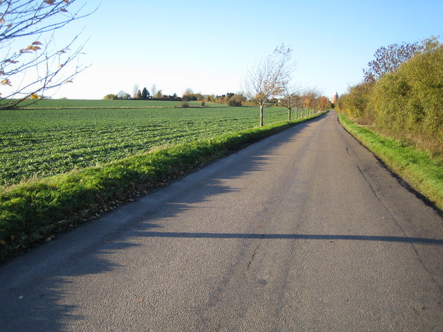
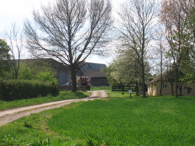
Grassy Grove, located in Essex, England, is a picturesque wood forest known for its lush greenery, diverse wildlife, and tranquil ambience. Covering an area of approximately 200 acres, it is a popular destination for nature enthusiasts and those seeking solace away from the bustling city life.

The forest is characterized by its dense canopy of various tree species, including oak, beech, and birch, which provide a cool shade during the hot summer months. The forest floor is carpeted with a thick layer of grass, giving the grove its name and creating a serene and peaceful atmosphere.

Grassy Grove is home to a wide array of wildlife, making it a haven for animal lovers and birdwatchers. Visitors can spot numerous species of birds, including robins, blackbirds, and woodpeckers, as well as small mammals like squirrels, rabbits, and foxes. The forest also houses a diverse range of insects, contributing to its rich biodiversity.

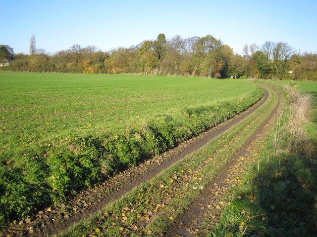
For outdoor enthusiasts, Grassy Grove offers a network of well-maintained walking trails, allowing visitors to explore the forest's beauty at their own pace. The trails wind through the woodlands, offering glimpses of natural beauty at every turn. There are also picnic areas and benches scattered throughout the grove, providing perfect spots for relaxation and enjoying a packed lunch amidst nature.

Grassy Grove is easily accessible, with ample parking facilities and well-marked signposts guiding visitors to the entrance. The forest is open to the public throughout the year, with no admission fees, making it an ideal destination for a day trip or a leisurely weekend getaway.

If you have any feedback on the listing, please let us know in the comments section below.
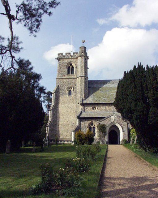
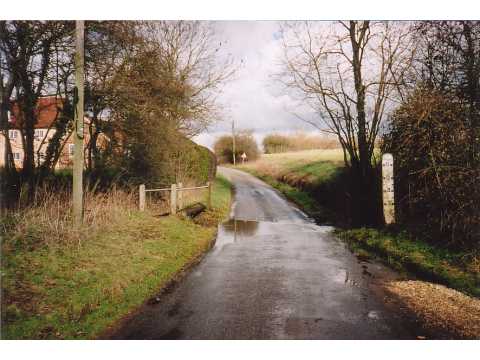
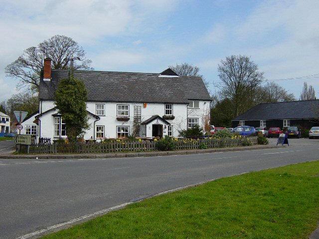
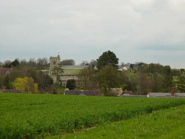
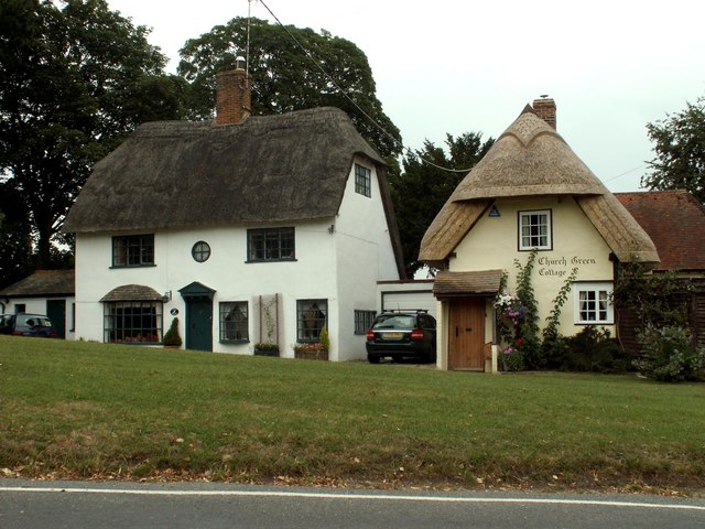
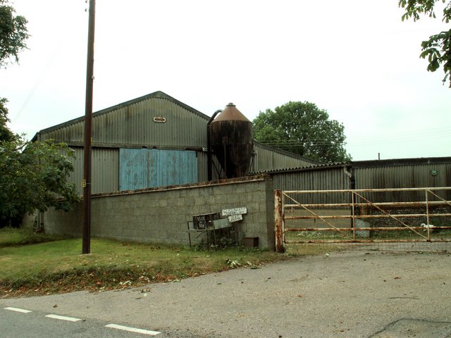
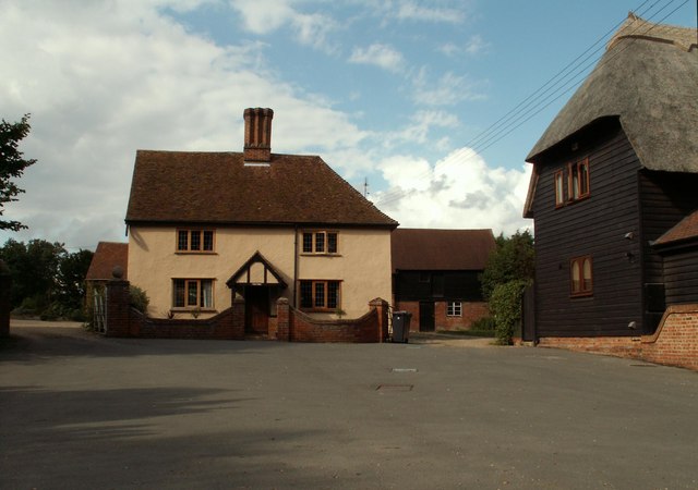
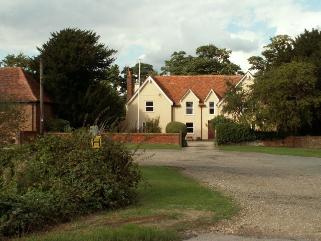
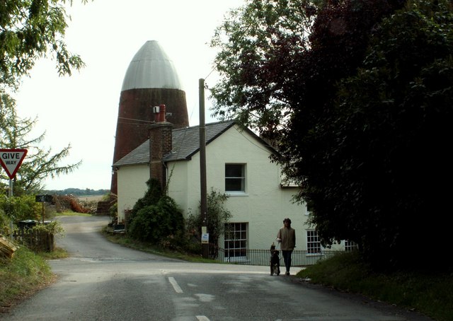
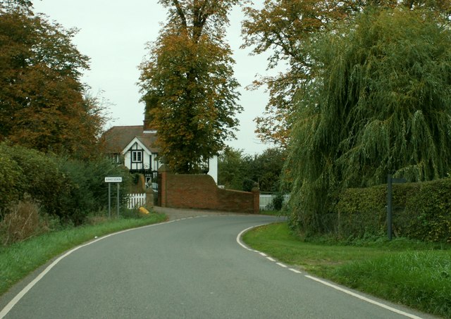
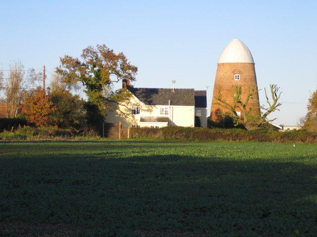
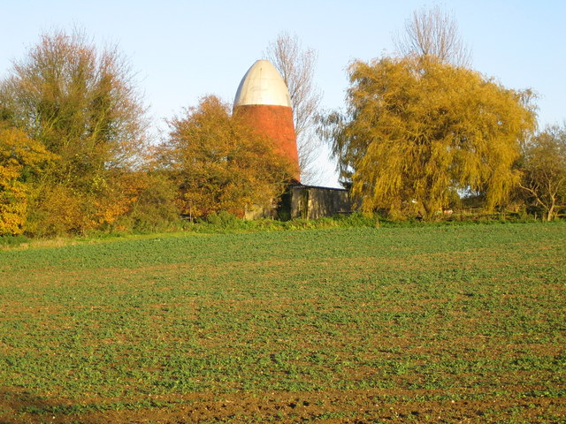
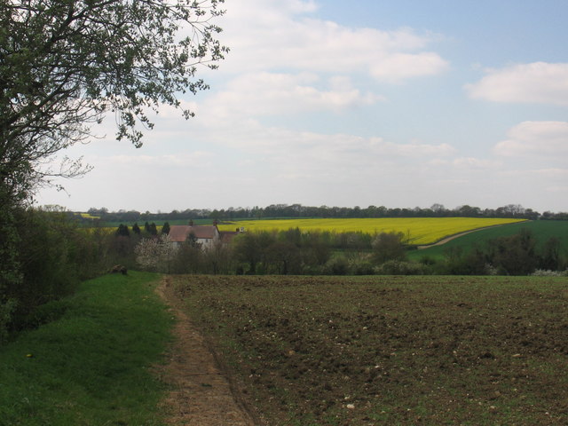
Grassy Grove Images

Images are sourced within 2km of 51.983895/0.14777951 or Grid Reference TL4733. Thanks to Geograph Open Source API. All images are credited.

Arkesden church
Arkesden church
Ford near Arkesden On the road between Arkesden and Duddenhoe End, only occasionally wet.
Ford near Arkesden
On the road between Arkesden and Duddenhoe End, only occasionally wet.
The Cricketers, Clavering This is the childhood home of chef Jamie Oliver and he learnt to cook here at the age of eight. The Cricketers is still owned by Jamie Olivers parents Trevor and Sally Oliver.
<span class="nowrap"><a title="http://www.design-digerati.com/the_cricketers/restaurant.asp" rel="nofollow ugc noopener" href="http://www.design-digerati.com/the_cricketers/restaurant.asp">Link</a><img style="margin-left:2px;" alt="External link" title="External link - shift click to open in new window" src="https://s1.geograph.org.uk/img/external.png" width="10" height="10"/></span>
The Cricketers, Clavering
This is the childhood home of chef Jamie Oliver and he learnt to cook here at the age of eight. The Cricketers is still owned by Jamie Olivers parents Trevor and Sally Oliver. LinkExternal link
Arkesden Church Looking towards Arkesden.
Arkesden Church
Looking towards Arkesden.
Cottages at Arkesden, Essex Arkesden is a very pretty village and has many lovely thatched cottages such as these two that stand by the small green, immediately south of the church.
Cottages at Arkesden, Essex
Arkesden is a very pretty village and has many lovely thatched cottages such as these two that stand by the small green, immediately south of the church.
'The Axe & Compasses' inn, Arkesden, Essex
Hobs Aerie farm buildings, Arkesden, Essex
Clavering Court, Stickling Green, Clavering, Essex
Clavering Place Farm, Stickling Green, Clavering, Essex
Clavering Mill, Clavering, Essex A short distance north of this windmill without sails is another without sails. Both have been restored for living accommodation.
Clavering Mill, Clavering, Essex
A short distance north of this windmill without sails is another without sails. Both have been restored for living accommodation.
The lodge at Wood Hall, near Arkesden, Essex The road is Clatterbury Lane.
The lodge at Wood Hall, near Arkesden, Essex
The road is Clatterbury Lane.
Stickling Green ..and these are the greens that are grown there, wall to wall brassicas.
Stickling Green
..and these are the greens that are grown there, wall to wall brassicas.
Clavering: Disused windmills This grid square, to the north-west of Clavering, is blessed with two former windmills. The North mill is in sight directly at the end of the road, whilst the similar South mill is visible to the left, and immediately to the left of the prominent conifer tree on the horizon. Close-up views of the two are in <a href="https://www.geograph.org.uk/photo/281333">TL4632 : Clavering: North windmill</a> and <a href="https://www.geograph.org.uk/photo/281340">TL4632 : Clavering: South windmill</a>
Clavering: Disused windmills
This grid square, to the north-west of Clavering, is blessed with two former windmills. The North mill is in sight directly at the end of the road, whilst the similar South mill is visible to the left, and immediately to the left of the prominent conifer tree on the horizon. Close-up views of the two are in TL4632 : Clavering: North windmill and TL4632 : Clavering: South windmill
Clavering: North windmill This is the larger of the two Clavering windmills and was built in 1811 for milling corn. The relative locations of the two mills can be seen in <a href="https://www.geograph.org.uk/photo/281323">TL4632 : Clavering: Disused windmills</a>. It is now a private residence.
Clavering: North windmill
This is the larger of the two Clavering windmills and was built in 1811 for milling corn. The relative locations of the two mills can be seen in TL4632 : Clavering: Disused windmills. It is now a private residence.
Clavering: South windmill This is the smaller of the two Clavering windmills and was built in 1757 for milling corn. The relative locations of the two mills can be seen in <a href="https://www.geograph.org.uk/photo/281323">TL4632 : Clavering: Disused windmills</a>. It is now a private residence.
Clavering: South windmill
This is the smaller of the two Clavering windmills and was built in 1757 for milling corn. The relative locations of the two mills can be seen in TL4632 : Clavering: Disused windmills. It is now a private residence.
Stickling Green: Colehill Lane Colehill Lane, which runs between Clavering and Stickling Green, is a Public Byway or BOAT (Byway Open to All Traffic).
Stickling Green: Colehill Lane
Colehill Lane, which runs between Clavering and Stickling Green, is a Public Byway or BOAT (Byway Open to All Traffic).
Farmland near Clavering Farm
Chardwell Farm
Chardwell Farm
Show me another place!

Grassy Grove is located at Grid Ref: TL4733 (Lat: 51.983895, Lng: 0.14777951)

Administrative County: Essex

District: Uttlesford

Police Authority: Essex

What 3 Words

///lunching.cotton.fidget. Near Saffron Walden, Essex

Related Wikis

Arkesden

Arkesden is a village and civil parish in the Uttlesford district of Essex, England. The village is 4.3 miles (7 km) south-west from Saffron Walden, approximately...
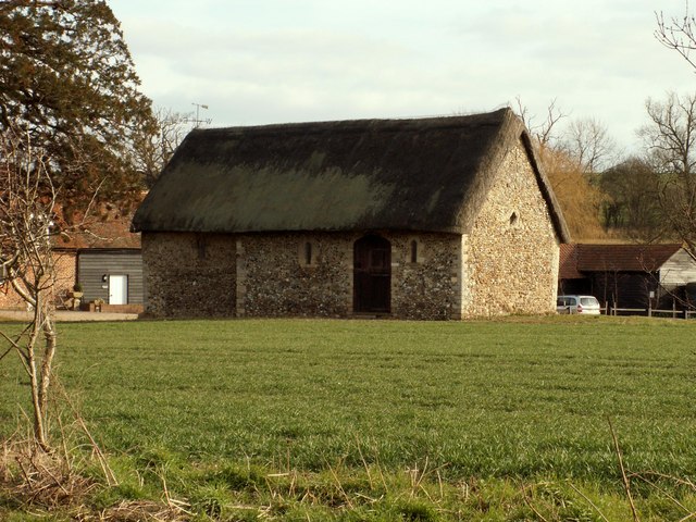
Clavering Castle

Clavering Castle remains are situated in the small parish village of Clavering in the county of Essex, England, 50m north of the church of St Mary and...

Wicken Bonhunt

Wicken Bonhunt is a village and a civil parish of north-west Essex, in the non-metropolitan district of Uttlesford, England. It is on the B1038 (Buntingford...
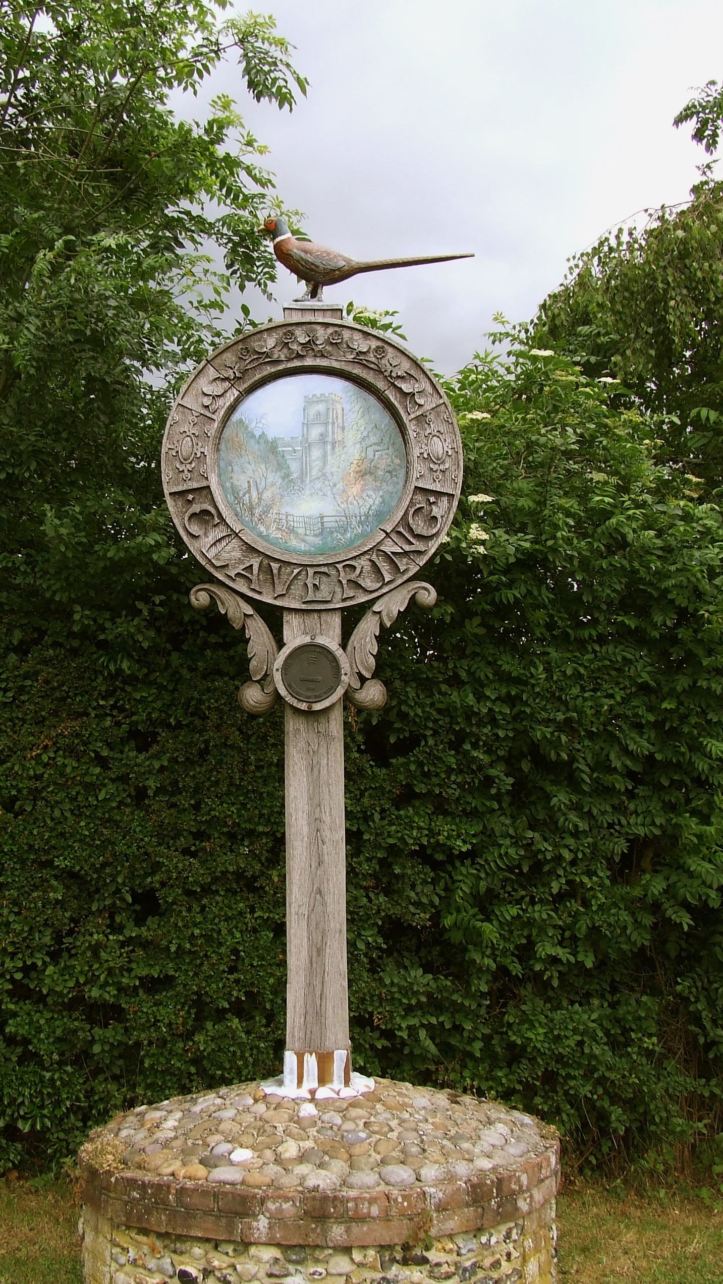
Clavering, Essex

Clavering is a village and also a parish in north-west Essex in England. It is about 20 miles (32 km) from Cambridge and 50 miles (80 km) from Southend...

Rickling, Essex

Rickling is a village and former civil parish, now in the parish of Quendon and Rickling, in the Uttlesford district of Essex, England. The village is...

Langley, Essex

For the historic house in Essex called Langley's, see Great Waltham. Langley is a village and civil parish near Clavering in the English county of Essex...

Duddenhoe End

Duddenhoe End is a small village in the civil parish of Elmdon & Wenden Lofts, in northwest Essex, England, and situated approximately halfway between...

Chapel of St Helen

Chapel of St Helen (also St Helen's Chapel) is an ancient religious building in Wicken Bonhunt, north-west Essex. It dates from around the 11th century...

Nearby Amenities

Located within 500m of 51.983895,0.14777951
Wood Hall
FIXME: Name taken from service road
Lat/Long: 51.9820829/0.1528396
Addr Housename: Woodmans Cottage
Lat/Long: 51.9819047/0.1525775
Addr Housename: Chaff Cottage
Lat/Long: 51.9819807/0.1526043
The data included in this document is from www.openstreetmap.org. The data is made available under ODbL.

Have you been to Grassy Grove?

Leave your review of Grassy Grove below (or comments, questions and feedback).