Folks' Wood

Wood, Forest in Kent Shepway

England

Folks' Wood

Westenhanger Station Westenhanger station serves Westenhanger in Kent. The station is on the South Eastern Main Line 64 miles south east of London Charing Cross. All trains serving Westenhanger are operated by Southeastern. It serves Folkestone Racecourse and the village of Stanford. The station opened in 1844.
Westenhanger Station Credit: N Chadwick

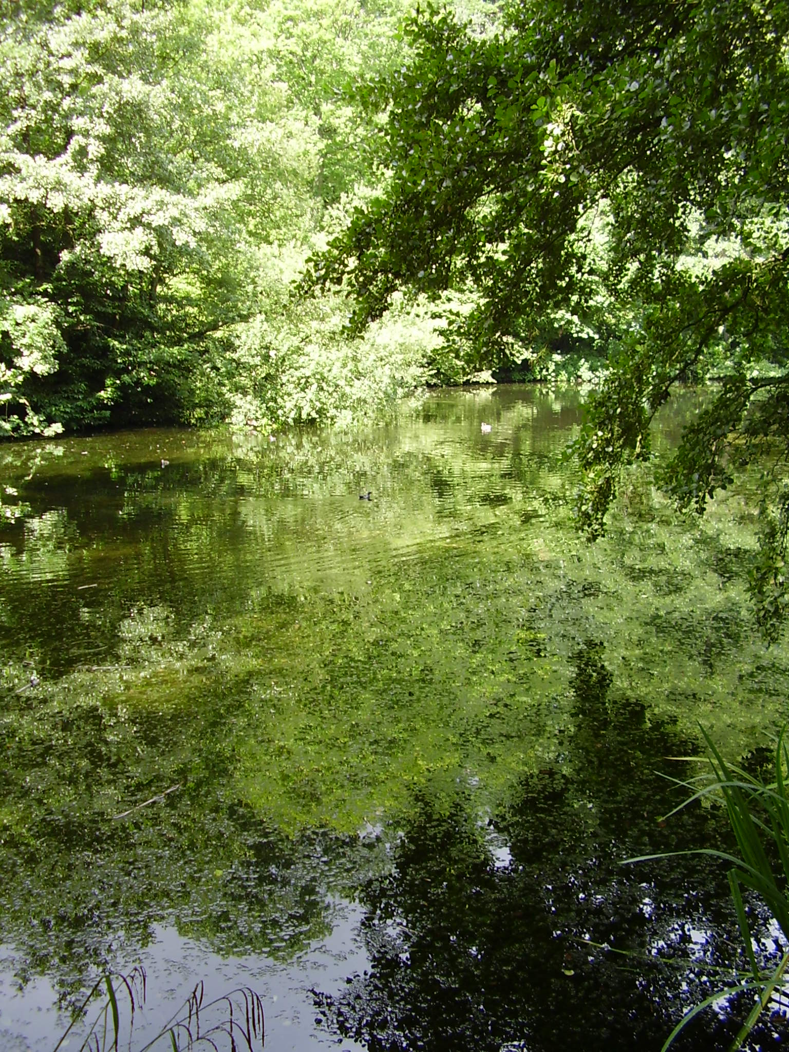
Folks' Wood, located in Kent, England, is a picturesque woodland area renowned for its natural beauty and diverse wildlife. Covering an area of approximately 50 acres, the wood is situated on the outskirts of the village of Folkestone, making it easily accessible for both locals and visitors.

This ancient woodland boasts a rich history, dating back several centuries. Once used as hunting grounds for the nobility, Folks' Wood has since been preserved and protected as a natural habitat for numerous plant and animal species. The wood is primarily composed of a mix of deciduous and coniferous trees, including oak, beech, and pine, creating a lush and vibrant environment throughout the year.

Visitors to Folks' Wood can enjoy a tranquil and peaceful atmosphere, perfect for leisurely walks or picnics amidst the stunning scenery. The woodland paths are well-maintained, allowing visitors to explore the area and discover its hidden treasures. From wildflowers in the spring to vibrant foliage in the autumn, the wood offers a spectacle of colors and fragrances that change with the seasons.

Moreover, Folks' Wood is home to a diverse array of wildlife. Nature enthusiasts may spot various bird species, including woodpeckers and owls, as well as small mammals like squirrels and rabbits. There are also occasional sightings of deer and foxes within the wood.

Overall, Folks' Wood in Kent offers a delightful escape from the hustle and bustle of everyday life. With its natural beauty, historical significance, and abundant wildlife, it is a cherished gem for both locals and nature lovers alike.

If you have any feedback on the listing, please let us know in the comments section below.

Folks' Wood Images

Images are sourced within 2km of 51.079264/1.0428752 or Grid Reference TR1335. Thanks to Geograph Open Source API. All images are credited.

Westenhanger Station Westenhanger station serves Westenhanger in Kent. The station is on the South Eastern Main Line 64 miles south east of London Charing Cross. All trains serving Westenhanger are operated by Southeastern. It serves Folkestone Racecourse and the village of Stanford. The station opened in 1844.
Westenhanger Station
Westenhanger station serves Westenhanger in Kent. The station is on the South Eastern Main Line 64 miles south east of London Charing Cross. All trains serving Westenhanger are operated by Southeastern. It serves Folkestone Racecourse and the village of Stanford. The station opened in 1844.
HS1 and South Eastern Lines, Westenhanger High Speed 1 (originally called The Channel Tunnel Rail Link or CTRL), is a 69-mile stretch of railway linking the Channel Tunnel and St Pancras station in London. Built at a cost of £5.2 billion, the line was opened on 14th November 2007, cutting Eurostar journey times by 40 minutes, compared with the previous route which was shared with local trains, restricting the speed severely. Trains travel at speeds up to 140mph on the high speed line.

In June 2010 the government put the line up for sale for £1.5 billion.
HS1 and South Eastern Lines, Westenhanger
High Speed 1 (originally called The Channel Tunnel Rail Link or CTRL), is a 69-mile stretch of railway linking the Channel Tunnel and St Pancras station in London. Built at a cost of £5.2 billion, the line was opened on 14th November 2007, cutting Eurostar journey times by 40 minutes, compared with the previous route which was shared with local trains, restricting the speed severely. Trains travel at speeds up to 140mph on the high speed line. In June 2010 the government put the line up for sale for £1.5 billion.
Former station house, Westenhanger Westenhanger station serves Westenhanger in Kent. The station is on the South Eastern Main Line 64 miles south east of London Charing Cross. All trains serving Westenhanger are operated by Southeastern. It serves Folkestone Racecourse and the village of Stanford. The station opened in 1844.
Former station house, Westenhanger
Westenhanger station serves Westenhanger in Kent. The station is on the South Eastern Main Line 64 miles south east of London Charing Cross. All trains serving Westenhanger are operated by Southeastern. It serves Folkestone Racecourse and the village of Stanford. The station opened in 1844.
Folkestone Racecourse Folkestone Racecourse was a horse racing venue, until it closed in 2012. It is located in Westenhanger, by junction 11 of the M20 motorway and about two miles west of Folkestone. In 2013, the venue hosted the War and Peace show previously held at The Hop Farm at Beltring.
Folkestone Racecourse
Folkestone Racecourse was a horse racing venue, until it closed in 2012. It is located in Westenhanger, by junction 11 of the M20 motorway and about two miles west of Folkestone. In 2013, the venue hosted the War and Peace show previously held at The Hop Farm at Beltring.
Tollgate Cottage
Tollgate Cottage
Folkestone Racecourse Folkestone Racecourse was a horse racing venue, until it closed in 2012. It is located in Westenhanger, by junction 11 of the M20 motorway and about two miles west of Folkestone. In 2013, the venue hosted the War and Peace show previously held at The Hop Farm at Beltring.
Folkestone Racecourse
Folkestone Racecourse was a horse racing venue, until it closed in 2012. It is located in Westenhanger, by junction 11 of the M20 motorway and about two miles west of Folkestone. In 2013, the venue hosted the War and Peace show previously held at The Hop Farm at Beltring.
Footpath off Stone Street
Road to the racecourse Folkestone Racecourse was a horse racing venue, until it closed in 2012. It is located in Westenhanger, by junction 11 of the M20 motorway and about two miles west of Folkestone. In 2013, the venue hosted the War and Peace show previously held at The Hop Farm at Beltring.
Road to the racecourse
Folkestone Racecourse was a horse racing venue, until it closed in 2012. It is located in Westenhanger, by junction 11 of the M20 motorway and about two miles west of Folkestone. In 2013, the venue hosted the War and Peace show previously held at The Hop Farm at Beltring.
Folkestone Racecourse Folkestone Racecourse was a horse racing venue, until it closed in 2012. It is located in Westenhanger, by junction 11 of the M20 motorway and about two miles west of Folkestone. In 2013, the venue hosted the War and Peace show previously held at The Hop Farm at Beltring.
Folkestone Racecourse
Folkestone Racecourse was a horse racing venue, until it closed in 2012. It is located in Westenhanger, by junction 11 of the M20 motorway and about two miles west of Folkestone. In 2013, the venue hosted the War and Peace show previously held at The Hop Farm at Beltring.
Entering Westenhanger
Stone Street A former Roman Road, which runs south for some 12 miles from Watling Street at Canterbury (the Roman 'Durovernum') to Lympne ('Lemanis') at the western edge of the Romney Marsh. Most of it is now the current B2068 road that runs from Canterbury to the M20 motorway.

See also <span class="nowrap"><a title="http://www.answers.com/topic/watling-street" rel="nofollow ugc noopener" href="http://www.answers.com/topic/watling-street">Link</a><img style="margin-left:2px;" alt="External link" title="External link - shift click to open in new window" src="https://s1.geograph.org.uk/img/external.png" width="10" height="10"/></span> for other Roman Roads.

Note: Another Stone Street, is from Magnis (Kenchester) in modern Herefordshire to Caerleon, Isca Augusta and the main Roman legionary base in the south of Roman Wales.
Stone Street
A former Roman Road, which runs south for some 12 miles from Watling Street at Canterbury (the Roman 'Durovernum') to Lympne ('Lemanis') at the western edge of the Romney Marsh. Most of it is now the current B2068 road that runs from Canterbury to the M20 motorway. See also LinkExternal link for other Roman Roads. Note: Another Stone Street, is from Magnis (Kenchester) in modern Herefordshire to Caerleon, Isca Augusta and the main Roman legionary base in the south of Roman Wales.
Westenhanger
Westenhanger
Footpath waymarkers, Stone Street
Stone Street A former Roman Road, which runs south for some 12 miles from Watling Street at Canterbury (the Roman 'Durovernum') to Lympne ('Lemanis') at the western edge of the Romney Marsh. Most of it is now the current B2068 road that runs from Canterbury to the M20 motorway.

See also <span class="nowrap"><a title="http://www.answers.com/topic/watling-street" rel="nofollow ugc noopener" href="http://www.answers.com/topic/watling-street">Link</a><img style="margin-left:2px;" alt="External link" title="External link - shift click to open in new window" src="https://s1.geograph.org.uk/img/external.png" width="10" height="10"/></span> for other Roman Roads.

Note: Another Stone Street, is from Magnis (Kenchester) in modern Herefordshire to Caerleon, Isca Augusta and the main Roman legionary base in the south of Roman Wales.
Stone Street
A former Roman Road, which runs south for some 12 miles from Watling Street at Canterbury (the Roman 'Durovernum') to Lympne ('Lemanis') at the western edge of the Romney Marsh. Most of it is now the current B2068 road that runs from Canterbury to the M20 motorway. See also LinkExternal link for other Roman Roads. Note: Another Stone Street, is from Magnis (Kenchester) in modern Herefordshire to Caerleon, Isca Augusta and the main Roman legionary base in the south of Roman Wales.
Entering Westenhanger
Little Greys, Stone Street A former Roman Road, which runs south for some 12 miles from Watling Street at Canterbury (the Roman 'Durovernum') to Lympne ('Lemanis') at the western edge of the Romney Marsh. Most of it is now the current B2068 road that runs from Canterbury to the M20 motorway.

See also <span class="nowrap"><a title="http://www.answers.com/topic/watling-street" rel="nofollow ugc noopener" href="http://www.answers.com/topic/watling-street">Link</a><img style="margin-left:2px;" alt="External link" title="External link - shift click to open in new window" src="https://s1.geograph.org.uk/img/external.png" width="10" height="10"/></span> for other Roman Roads.

Note: Another Stone Street, is from Magnis (Kenchester) in modern Herefordshire to Caerleon, Isca Augusta and the main Roman legionary base in the south of Roman Wales.
Little Greys, Stone Street
A former Roman Road, which runs south for some 12 miles from Watling Street at Canterbury (the Roman 'Durovernum') to Lympne ('Lemanis') at the western edge of the Romney Marsh. Most of it is now the current B2068 road that runs from Canterbury to the M20 motorway. See also LinkExternal link for other Roman Roads. Note: Another Stone Street, is from Magnis (Kenchester) in modern Herefordshire to Caerleon, Isca Augusta and the main Roman legionary base in the south of Roman Wales.
Industrial units
Industrial units
Show me another place!

Folks' Wood is located at Grid Ref: TR1335 (Lat: 51.079264, Lng: 1.0428752)

Administrative County: Kent

District: Shepway

Police Authority: Kent

What 3 Words

///torch.retail.comedy. Near Lympne, Kent

Nearby Locations

Pedlinge Folks' Wood

Related Wikis

Pedlinge

Pedlinge is a hamlet on the edge of the village of Saltwood in Kent, England. It has its own church, though this is officially classified as a District...

Newingreen

Newingreen is a village near Folkestone in Kent, England. It is situated on the junction of the A20 and the historic Stone Street between Lympne and Canterbury...

Lympne

Lympne (), formerly also Lymne, is a village on the former shallow-gradient sea cliffs above the expansive agricultural plain of Romney Marsh in Kent....

Lympne Escarpment

Lympne Escarpment is a 140.2-hectare (346-acre) biological Site of Special Scientific Interest west of Hythe in Kent. Part of it is the remains of a Saxon...

The Roughs

The Roughs are an escarpment of the North Downs above Romney Marsh in Kent, on the south coast of England. The term is generally applied to the section...

West Hythe

West Hythe is a hamlet and former civil parish, now in the parish of Hythe, in the Folkestone and Hythe district, in Kent, England, near Palmarsh and a...
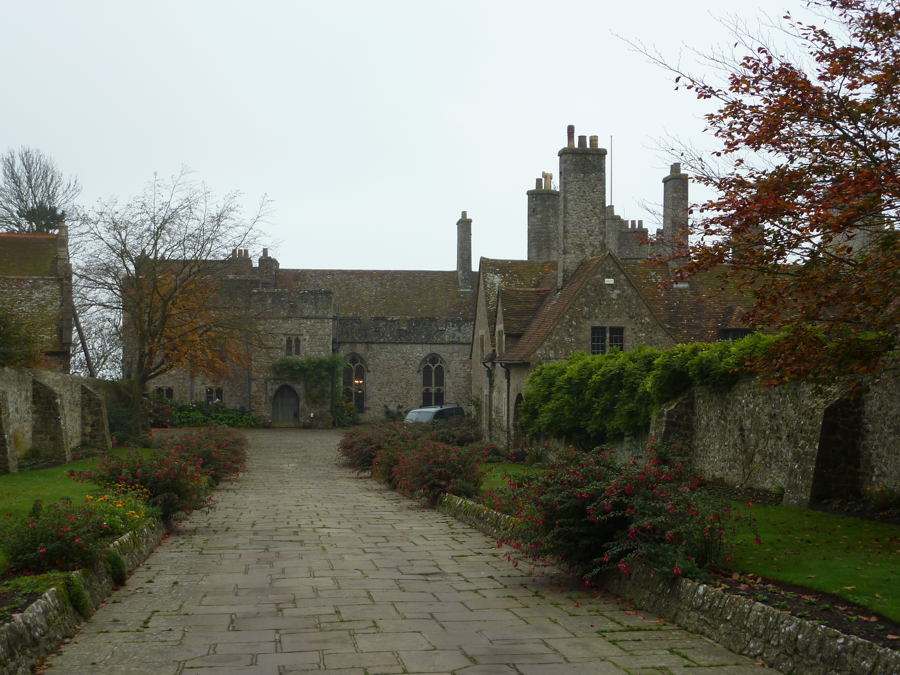
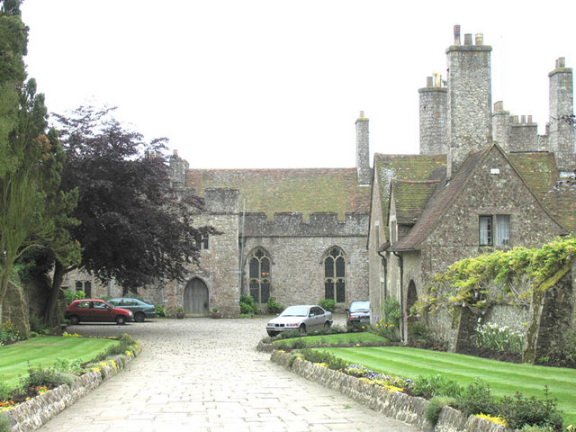
Lympne Castle

Lympne Castle is a 18,862 square feet (1,752.3 m2) medieval castle located in the village of Lympne, Kent, above Romney Marsh. After the Reformation, the...

Brockhill Country Park

Brockhill Country Park is in Saltwood, near Hythe in Kent, England. The park was a former estate with landscaped gardens and has subsequently been sub...

Nearby Amenities

Located within 500m of 51.079264,1.0428752
The data included in this document is from www.openstreetmap.org. The data is made available under ODbL.

Have you been to Folks' Wood?

Leave your review of Folks' Wood below (or comments, questions and feedback).