Stonyhole Plantation
Wood, Forest in Norfolk South Norfolk
England
Stonyhole Plantation
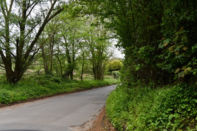
Stonyhole Plantation is a picturesque woodland located in Norfolk, England. Situated within the larger Norfolk Forest, this charming plantation covers an area of approximately 500 acres, making it an ideal destination for nature enthusiasts and outdoor lovers.
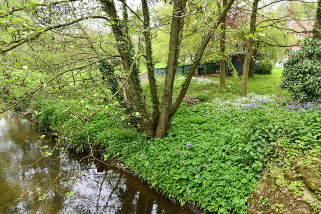
The plantation is characterized by its dense and diverse woodlands, which consist of various tree species, including oak, birch, and beech. These trees provide a rich habitat for a wide range of wildlife, such as squirrels, rabbits, and numerous species of birds. The forest floor is adorned with vibrant wildflowers and ferns, adding to the enchanting atmosphere of the plantation.
Visitors to Stonyhole Plantation can enjoy a variety of activities that cater to different interests. The plantation offers well-maintained walking trails, allowing visitors to explore the woodland at their own pace. These trails are suitable for both leisurely strolls and more vigorous hikes, providing opportunities to immerse oneself in the tranquility of nature.
For those interested in history, Stonyhole Plantation also holds historical significance. The plantation was once a site of iron ore mining during the 19th century, and remnants of this industrial past can still be seen today. These historical elements add an extra layer of intrigue and make the plantation even more fascinating to explore.
Overall, Stonyhole Plantation in Norfolk is a captivating woodland destination that offers a peaceful retreat from the hustle and bustle of everyday life. With its beautiful scenery, diverse wildlife, and historical significance, it is a must-visit location for nature enthusiasts and history buffs alike.
If you have any feedback on the listing, please let us know in the comments section below.
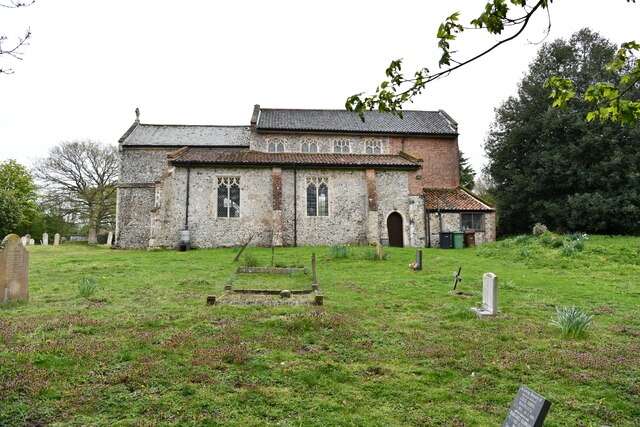
Stonyhole Plantation Images
Images are sourced within 2km of 52.667431/1.1522853 or Grid Reference TG1312. Thanks to Geograph Open Source API. All images are credited.


Stonyhole Plantation is located at Grid Ref: TG1312 (Lat: 52.667431, Lng: 1.1522853)
Administrative County: Norfolk
District: South Norfolk
Police Authority: Norfolk
What 3 Words
///chipper.plastic.wove. Near Costessey, Norfolk
Related Wikis

Ringland, Norfolk
Ringland is a village and civil parish in Norfolk, England, and in the valley of the River Wensum, approximately 7 miles (11 km) north-west of Norwich...

Easton, Norfolk
Easton is a village and civil parish in the English county of Norfolk. The village is located 6.2 miles (10.0 km) north-west of Norwich and 9 miles (14...

Honingham Hall
Honingham Hall was a large country house at Honingham in Norfolk. == History == The house was commissioned by Sir Thomas Richardson, Chief Justice of the...

Taverham Hall School
Taverham Hall School was a private co-educational day and boarding preparatory school. Situated in Taverham, Norfolk, it was founded in 1920. The school...
Easton College
Easton College is a college of further and higher education in Norfolk, United Kingdom. It is located on a 200-hectare (490-acre) campus in the village...

Honingham
Honingham is a village and civil parish in the English county of Norfolk, located 8 miles (13 km) to the west of Norwich along the A47 trunk road. It covers...

Marlingford and Colton
Marlingford and Colton, formerly Marlingford is a civil parish in the English county of Norfolk, made from the villages of Colton and Marlingford. It covers...
Taverham High School
Taverham High School is a secondary school and sixth form with academy status, located in Taverham in the English county of Norfolk. As well as serving...
Nearby Amenities
Located within 500m of 52.667431,1.1522853Have you been to Stonyhole Plantation?
Leave your review of Stonyhole Plantation below (or comments, questions and feedback).