Ringland Plantation
Wood, Forest in Norfolk South Norfolk
England
Ringland Plantation
Ringland Plantation is a picturesque woodland located in Norfolk, England. Nestled in the heart of the Norfolk Broads, this sprawling forest covers an area of approximately 500 acres. The plantation is situated near the village of Ringland, which is known for its charming countryside and tranquil environment.
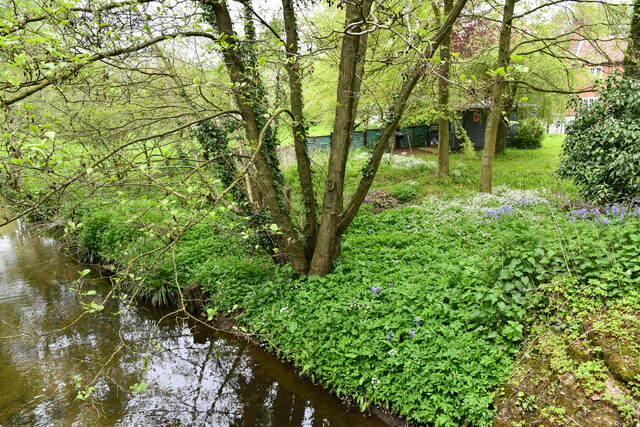
The woodland of Ringland Plantation is predominantly composed of mature broadleaf trees, including oak, beech, and birch. These majestic trees create a dense canopy that provides shelter and habitat for a wide variety of wildlife, making it a popular destination for nature enthusiasts and birdwatchers. The forest floor is adorned with an array of wildflowers, ferns, and mosses, adding to the enchanting atmosphere of the plantation.
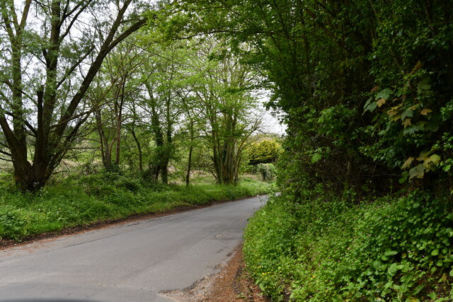
Visitors to Ringland Plantation can explore the woodland through a network of well-maintained footpaths and trails. These paths wind their way through the forest, revealing stunning vistas and hidden clearings along the way. The plantation also features a tranquil lake, which is home to various waterfowl species and provides a peaceful spot for picnicking or simply enjoying the serene surroundings.
Ringland Plantation is renowned for its rich history, with evidence of human habitation dating back to the prehistoric era. The site has served various purposes throughout the centuries, including timber production, agriculture, and as a hunting ground for local nobility. Today, it stands as a cherished natural reserve, managed by local authorities to preserve its ecological importance and promote sustainable woodland management practices.
In summary, Ringland Plantation is a captivating woodland in Norfolk, offering visitors a chance to immerse themselves in the beauty of nature. With its diverse flora and fauna, scenic trails, and historical significance, it is a cherished destination for those seeking tranquility and a connection with the natural world.
If you have any feedback on the listing, please let us know in the comments section below.
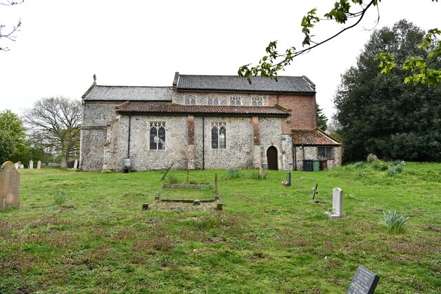
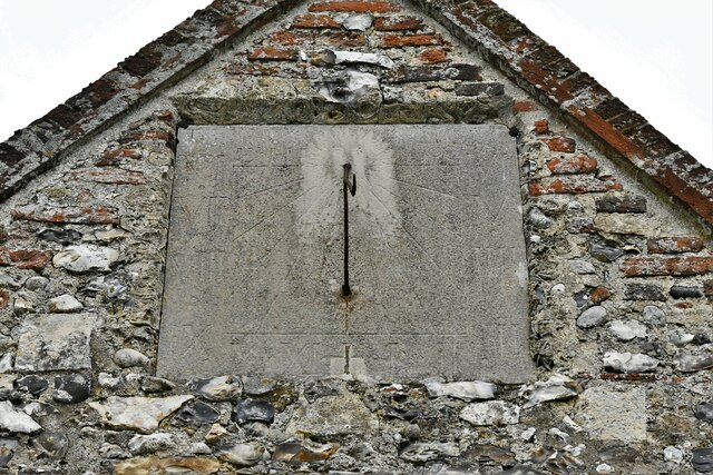
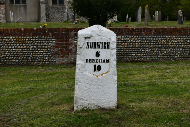
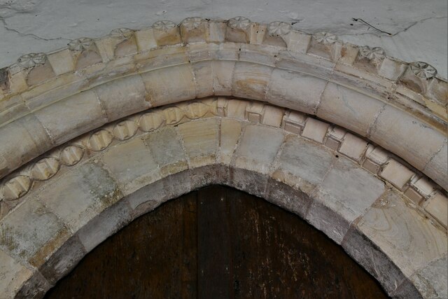
Ringland Plantation Images
Images are sourced within 2km of 52.663842/1.1624402 or Grid Reference TG1312. Thanks to Geograph Open Source API. All images are credited.


Ringland Plantation is located at Grid Ref: TG1312 (Lat: 52.663842, Lng: 1.1624402)
Administrative County: Norfolk
District: South Norfolk
Police Authority: Norfolk
What 3 Words
///shots.exits.hogs. Near Costessey, Norfolk
Related Wikis

Easton, Norfolk
Easton is a village and civil parish in the English county of Norfolk. The village is located 6.2 miles (10.0 km) north-west of Norwich and 9 miles (14...

Ringland, Norfolk
Ringland is a village and civil parish in Norfolk, England, and in the valley of the River Wensum, approximately 7 miles (11 km) north-west of Norwich...

Taverham Hall School
Taverham Hall School was a private co-educational day and boarding preparatory school. Situated in Taverham, Norfolk, it was founded in 1920. The school...
Easton College
Easton College is a college of further and higher education in Norfolk, United Kingdom. It is located on a 200-hectare (490-acre) campus in the village...

Costessey Hall
Costessey Hall (pronounced and sometimes spelt Cossey Hall, also written as Cotesby Hall) was a manor house in Costessey, Norfolk, England, four miles...

Honingham Hall
Honingham Hall was a large country house at Honingham in Norfolk. == History == The house was commissioned by Sir Thomas Richardson, Chief Justice of the...

Marlingford
Marlingford is a village and former civil parish, 6 miles (9.7 km) west of Norwich, now in the parish of Marlingford and Colton, in the South Norfolk district...
Taverham High School
Taverham High School is a secondary school and sixth form with academy status, located in Taverham in the English county of Norfolk. As well as serving...
Have you been to Ringland Plantation?
Leave your review of Ringland Plantation below (or comments, questions and feedback).