Alder Carr
Wood, Forest in Norfolk South Norfolk
England
Alder Carr
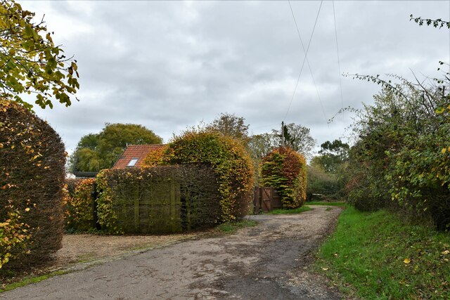
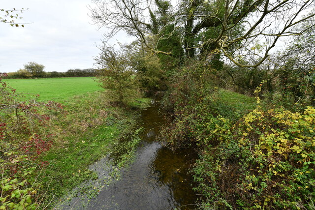
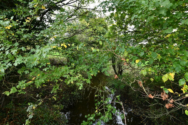
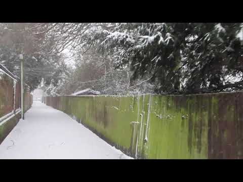
Alder Carr, located in Norfolk, England, is a stunning wood and forest area that covers a vast expanse of land. This beautiful natural habitat is characterized by its thriving alder trees, which dominate the landscape. Alder trees are known for their distinctive appearance, with their slender trunks and smooth, dark bark. The forest floor is covered with a lush carpet of mosses, ferns, and wildflowers, creating a vibrant and diverse ecosystem.
Alder Carr is a haven for wildlife, providing a rich habitat for a wide range of species. The forest is home to various bird species, including woodpeckers, owls, and warblers, which fill the air with their melodious songs. Mammals such as deer, foxes, and rabbits can also be spotted roaming through the woods, while the nearby streams and ponds are inhabited by frogs, newts, and other aquatic creatures.
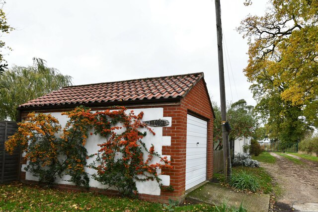
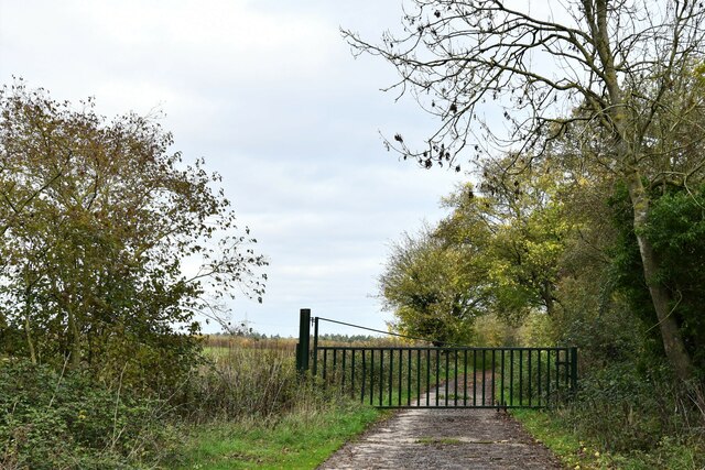
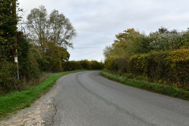
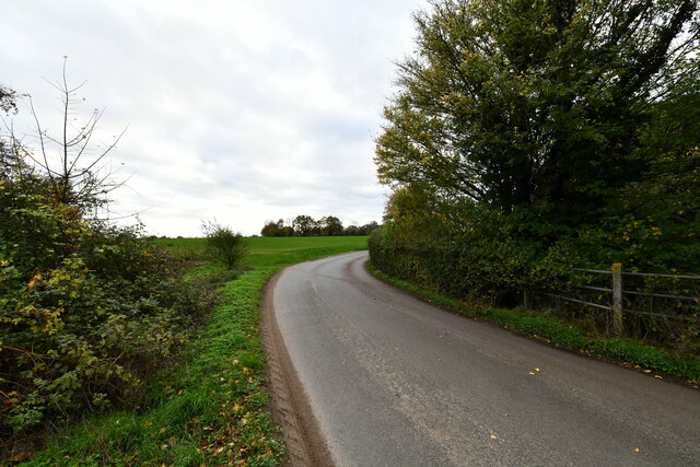
Visitors to Alder Carr can enjoy a peaceful and serene environment, perfect for hiking, birdwatching, or simply immersing oneself in nature. The forest offers a network of well-maintained trails that wind through the trees, allowing visitors to explore the woodlands at their own pace. The beautiful scenery and tranquil atmosphere make Alder Carr a popular destination for nature lovers and photographers alike.
In addition to its natural beauty, Alder Carr also plays an important role in the local ecosystem. The alder trees act as natural water filters, improving the quality of nearby rivers and streams. The forest also provides a vital habitat for numerous rare and endangered species, contributing to the region's biodiversity.
Overall, Alder Carr is a captivating wood and forest area that showcases the beauty of Norfolk's natural landscapes. With its diverse flora and fauna, peaceful ambiance, and ecological significance, it is a must-visit destination for anyone seeking a connection with nature.
If you have any feedback on the listing, please let us know in the comments section below.
Alder Carr Images
Images are sourced within 2km of 52.377756/1.1312319 or Grid Reference TM1380. Thanks to Geograph Open Source API. All images are credited.


Alder Carr is located at Grid Ref: TM1380 (Lat: 52.377756, Lng: 1.1312319)
Administrative County: Norfolk
District: South Norfolk
Police Authority: Norfolk
What 3 Words
///grinders.landowner.carbon. Near Diss, Norfolk
Nearby Locations
Related Wikis

St Andrew's Church, Frenze
St Andrew's Church is a redundant Anglican church in the civil parish of Scole, Norfolk, England. It is recorded in the National Heritage List for England...
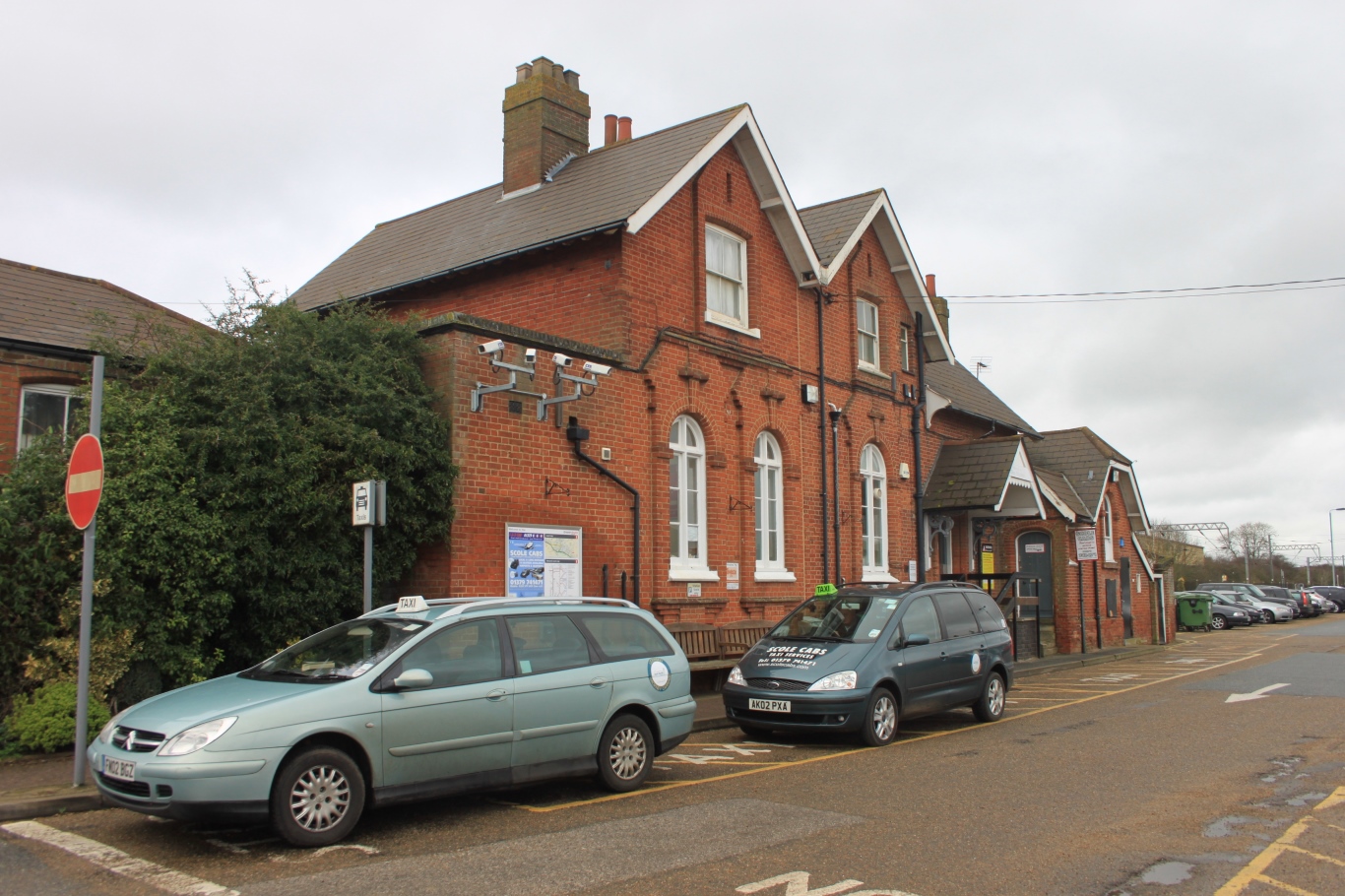
Diss railway station
Diss railway station is on the Great Eastern Main Line in the East of England, serving the market town of Diss, Norfolk. It is 94 miles 43 chains (152...

Diss High School
Diss High School is a secondary school and sixth form with academy status located in Diss, Norfolk, England. The school has approximately 931 pupils from...
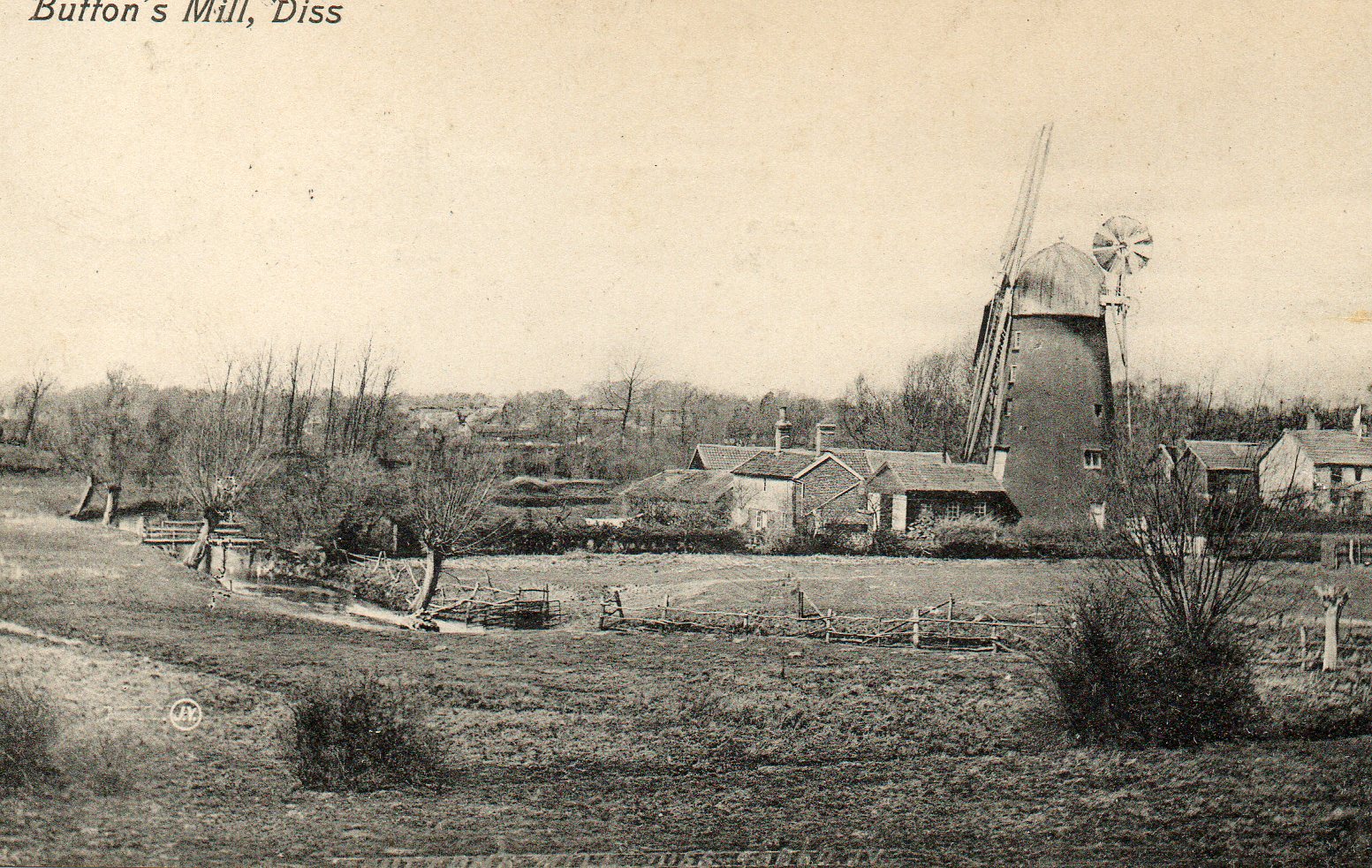
Button's Mill, Diss
Jay's Mill, Button's Mill or Victoria Road Mill is a tower mill at Diss, Norfolk, England which has been truncated and converted to residential accommodation...

Diss, Norfolk
Diss is a market town and electoral ward in South Norfolk, England, near the boundary with Suffolk, with a population of 7,572 in 2011. Diss railway station...
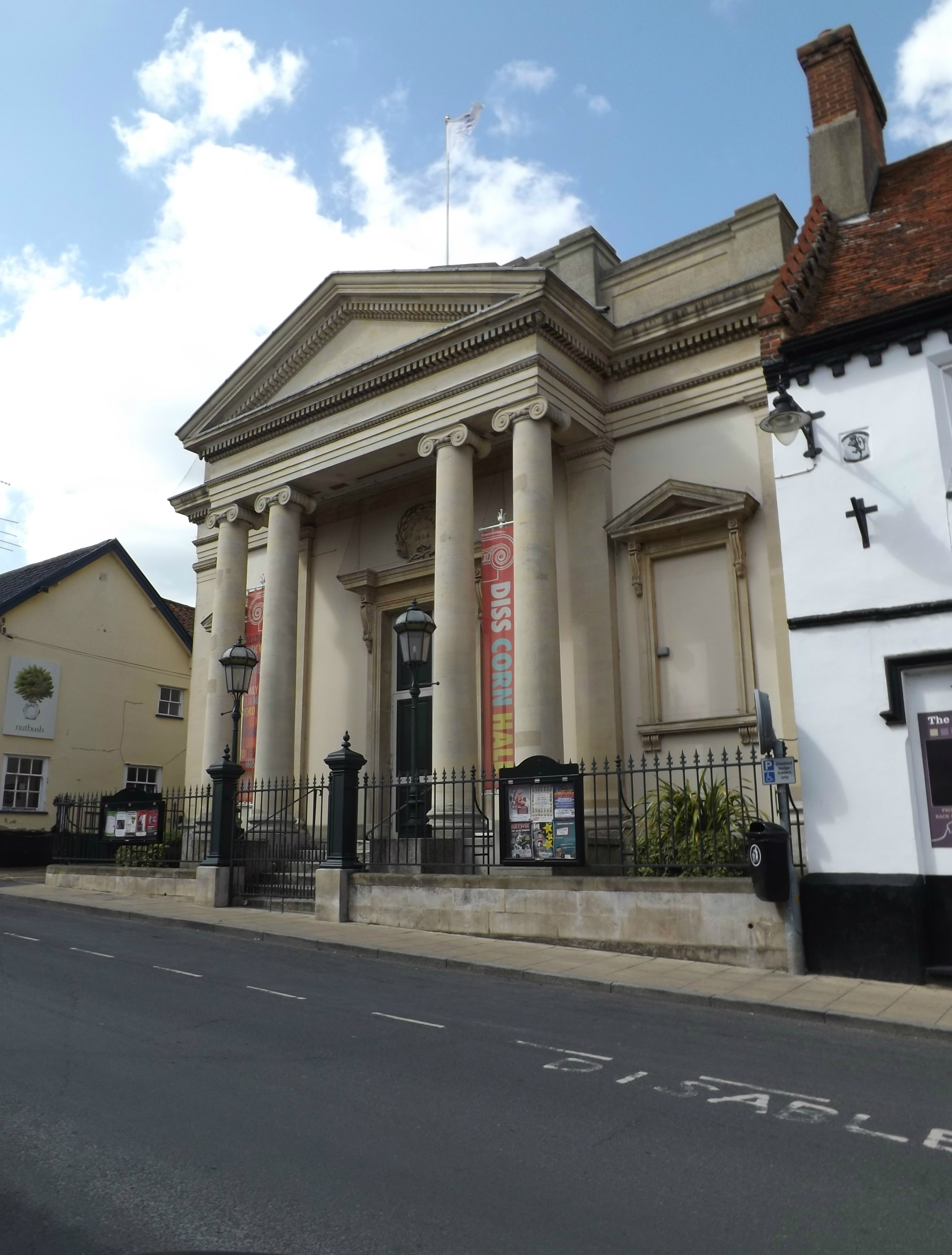
Corn Hall, Diss
The Corn Hall is a commercial building in St Nicholas Street, Diss, Norfolk, England. The structure, which is now used as an arts centre, is a Grade II...

Scole
Scole () is a village on the Norfolk–Suffolk border in England. It is 19 miles south of Norwich and lay on the old Roman road to Venta Icenorum, which...

Palgrave, Suffolk
Palgrave is a village and civil parish in the Mid Suffolk district of Suffolk in eastern England. It is located on the south bank of the River Waveney...
Related Videos
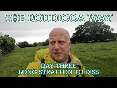
Boudicca Way - Day Three | Long Stratton to Diss | Cool Dudes Walking Club | Norfolk Walks
The final day of the Boudicca Way. A 13-mile stretch from Long Stratton to Diss, through the delightful Pulham Market and past ...


DISS - NORFOLK
A VERY brief tour round Diss a lovely market town in South Norfolk.
WALKING IN DISS 7TH FEBRUARY (ex Storm Darcy)
WALKING IN DISS during STORM DARCY.
Nearby Amenities
Located within 500m of 52.377756,1.1312319Have you been to Alder Carr?
Leave your review of Alder Carr below (or comments, questions and feedback).