Frenze
Settlement in Norfolk South Norfolk
England
Frenze
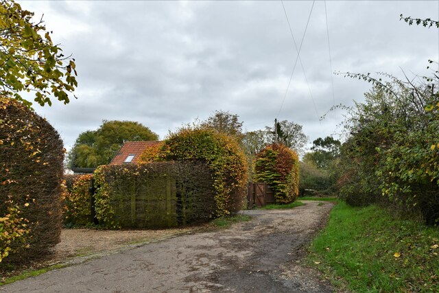
Frenze is a small village located in the county of Norfolk, England. Situated approximately 12 miles south of the city of Norwich, Frenze is part of the South Norfolk district. The village is surrounded by picturesque countryside, with rolling hills and fields that are typical of the Norfolk landscape.
Frenze has a rich history that dates back to the medieval period. The village is known for its historic church, St. Andrew's Church, which was built in the 14th century and still stands as a prominent landmark today. The church features beautiful architectural details, including a tall tower and stained glass windows.
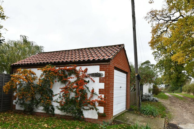
In terms of amenities, Frenze is a quiet residential area with a small community. There are no shops or businesses within the village itself, but nearby towns and villages provide residents with easy access to essential services. The village is well-connected to the surrounding areas by road, with the A140 running close by, offering convenient transport links.
Frenze is an idyllic location for those seeking a peaceful and rural lifestyle. The village offers a close-knit community atmosphere, with several community events and gatherings throughout the year. The surrounding countryside provides ample opportunities for outdoor activities, such as walking, cycling, and exploring the nearby Waveney Valley.
Overall, Frenze is a charming village that offers a glimpse into Norfolk's rural heritage. Its historical landmarks, serene surroundings, and strong community spirit make it an attractive place to live or visit for those seeking a quieter way of life.
If you have any feedback on the listing, please let us know in the comments section below.
Frenze Images
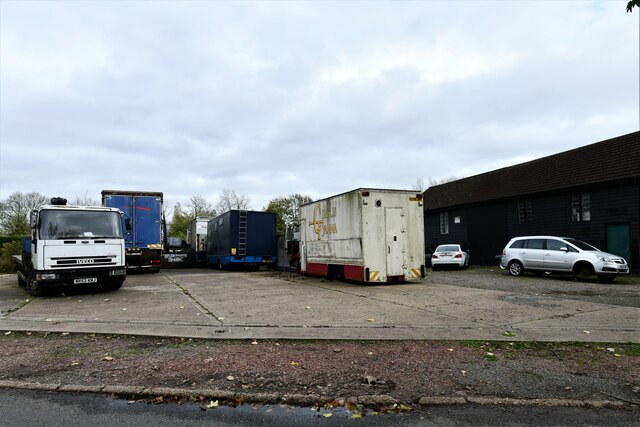
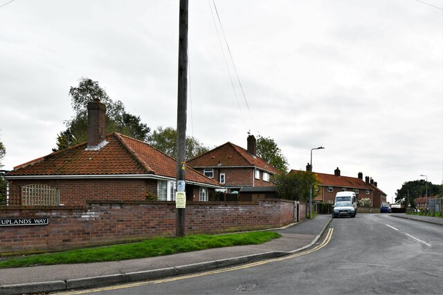
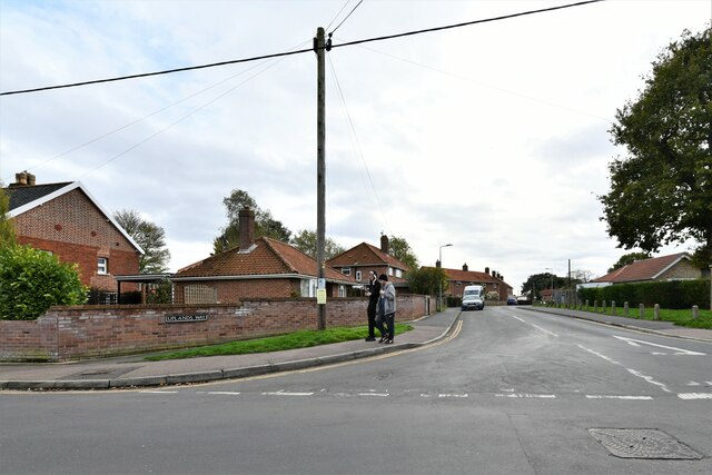
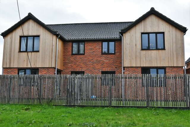
Images are sourced within 2km of 52.378536/1.13835 or Grid Reference TM1380. Thanks to Geograph Open Source API. All images are credited.


Frenze is located at Grid Ref: TM1380 (Lat: 52.378536, Lng: 1.13835)
Administrative County: Norfolk
District: South Norfolk
Police Authority: Norfolk
What 3 Words
///eruptions.fumes.requested. Near Scole, Norfolk
Nearby Locations
Related Wikis

St Andrew's Church, Frenze
St Andrew's Church is a redundant Anglican church in the civil parish of Scole, Norfolk, England. It is recorded in the National Heritage List for England...
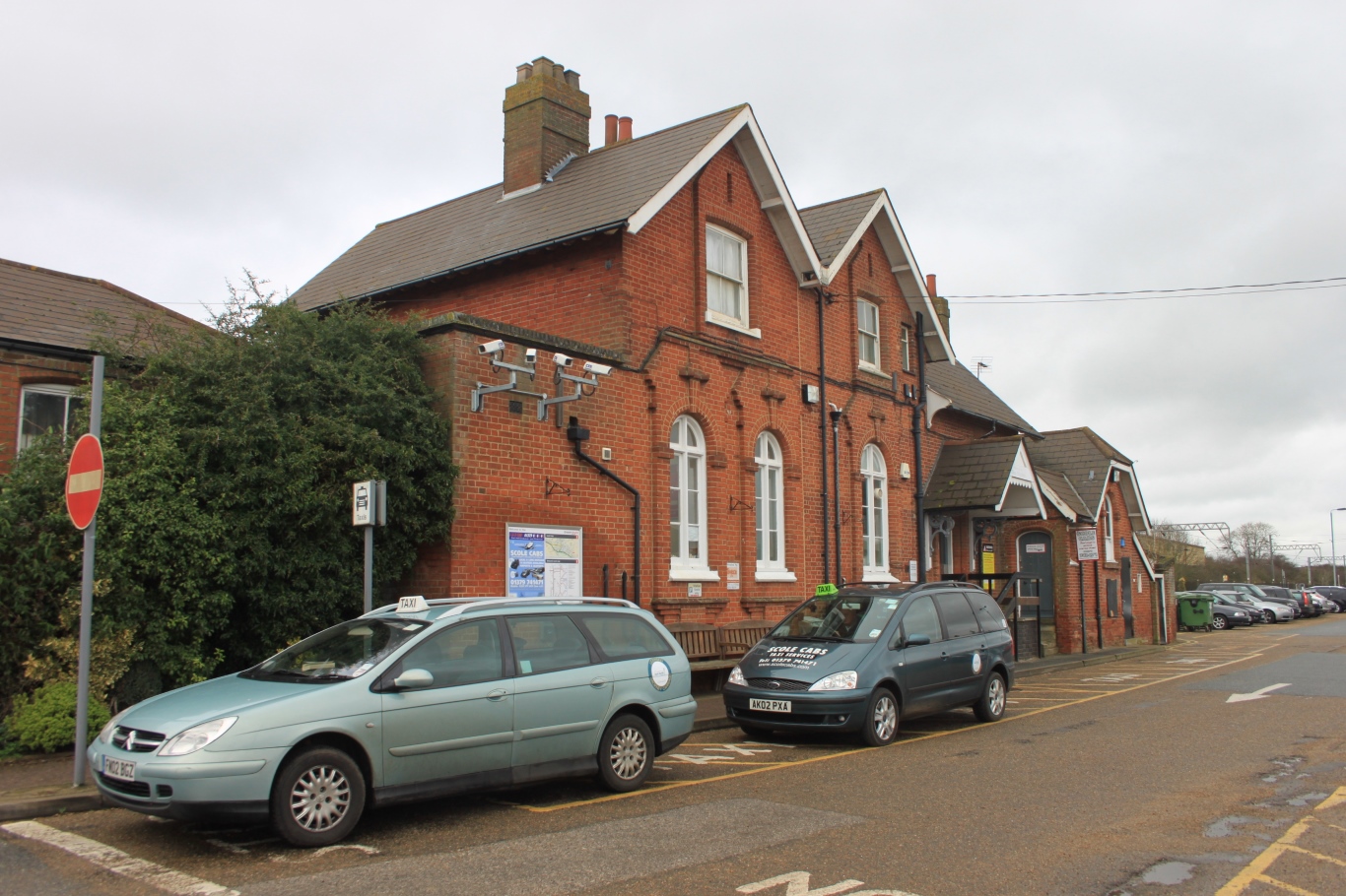
Diss railway station
Diss railway station is on the Great Eastern Main Line in the East of England, serving the market town of Diss, Norfolk. It is 94 miles 43 chains (152...

Diss High School
Diss High School is a secondary school and sixth form with academy status located in Diss, Norfolk, England. The school has approximately 931 pupils from...
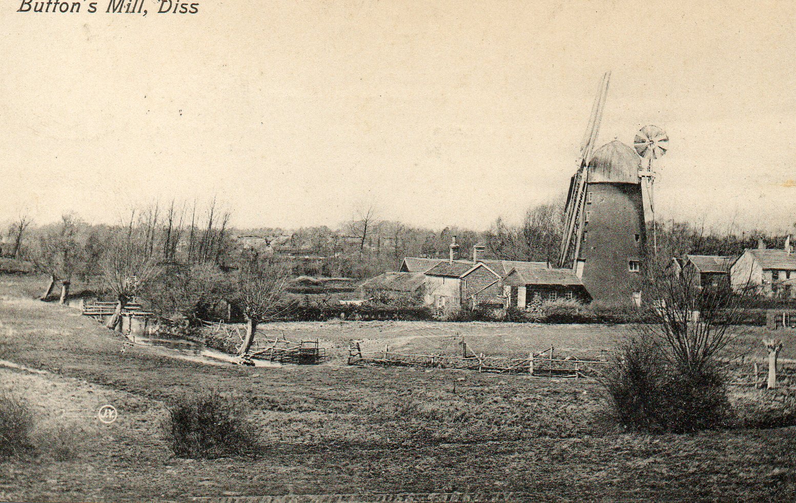
Button's Mill, Diss
Jay's Mill, Button's Mill or Victoria Road Mill is a tower mill at Diss, Norfolk, England which has been truncated and converted to residential accommodation...
Nearby Amenities
Located within 500m of 52.378536,1.13835Have you been to Frenze?
Leave your review of Frenze below (or comments, questions and feedback).