Furze Plantation
Wood, Forest in Suffolk Babergh
England
Furze Plantation
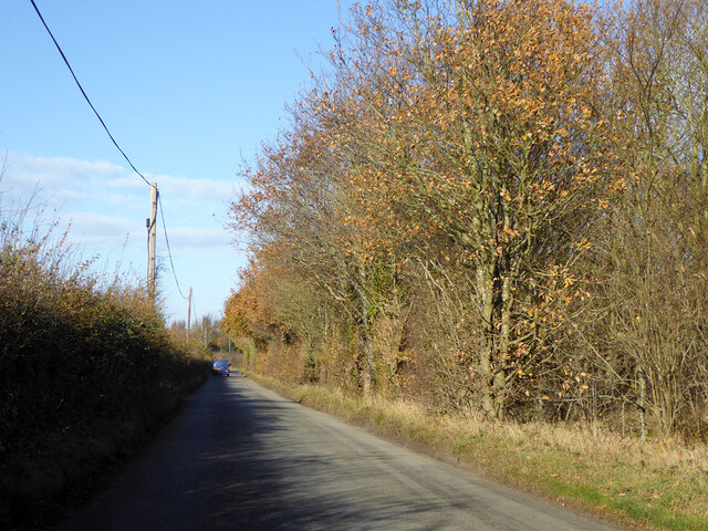
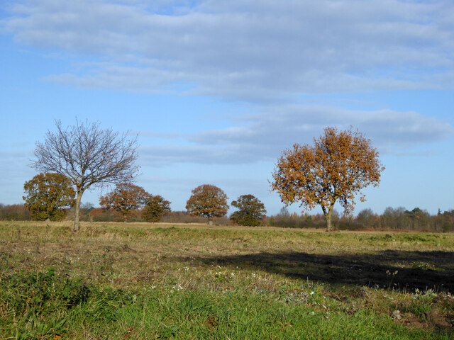
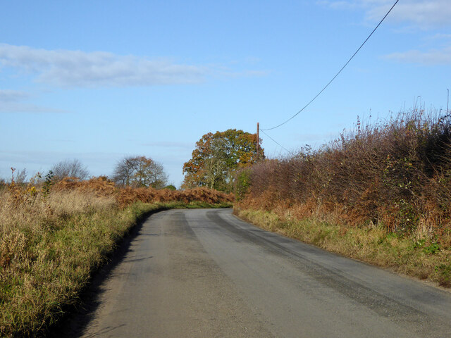
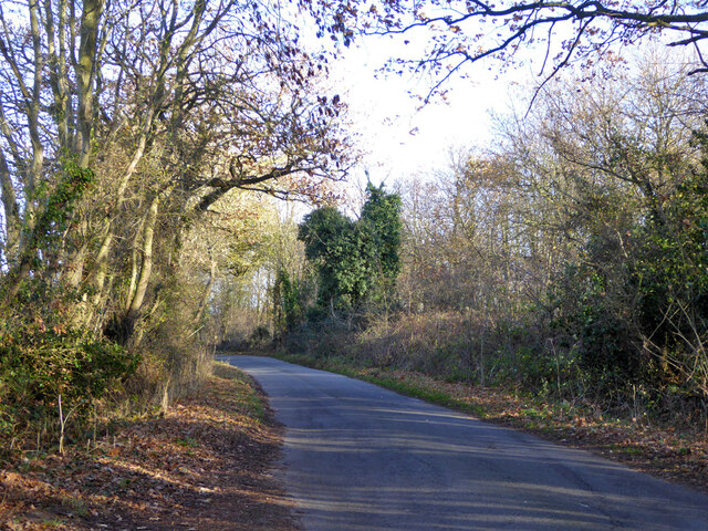
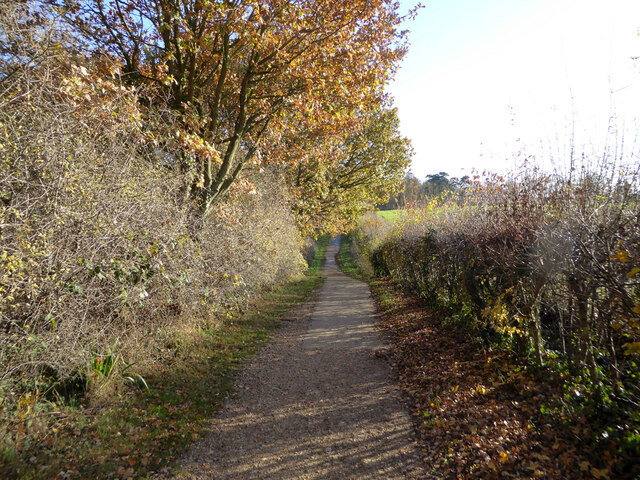
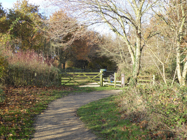
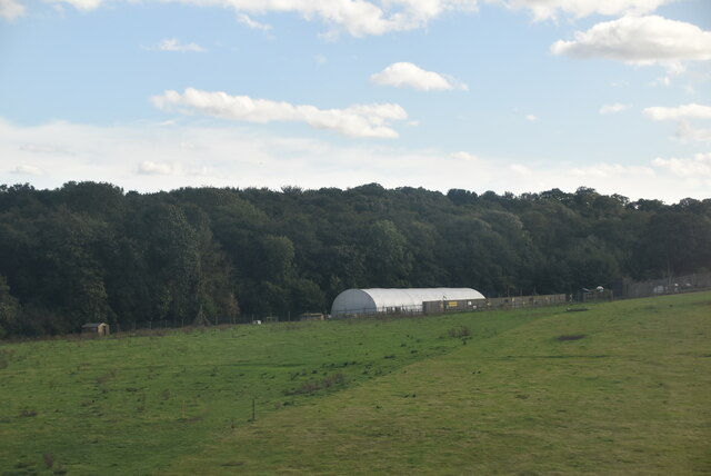
Furze Plantation is a picturesque woodland located in Suffolk, England. Covering an area of approximately 500 acres, it is renowned for its natural beauty and diverse flora and fauna. The plantation predominantly consists of furze bushes, which give it its name, but also includes a variety of other tree species such as oak, beech, and pine.
The woodland is a popular destination for nature enthusiasts and hikers, offering numerous walking trails that meander through the enchanting landscape. These trails provide visitors with the opportunity to explore the plantation's rich biodiversity, with sightings of birds, small mammals, and insects being common.
Furze Plantation is well-maintained, with the paths and trails regularly cleared and signposted, ensuring visitors can navigate the woodland easily. The plantation also features several picnic areas, providing a perfect spot for visitors to relax and soak in the tranquil surroundings.
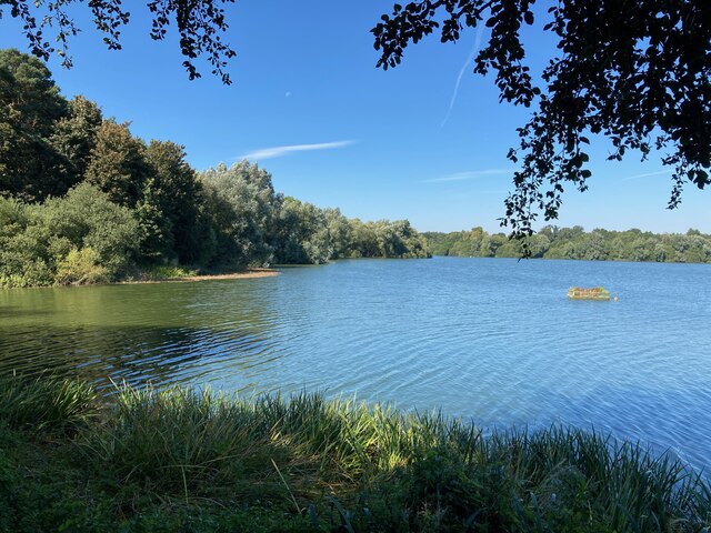
The woodland's natural beauty is further enhanced by the presence of a small stream that runs through the plantation, adding a touch of serenity to the already captivating landscape. The stream also serves as a watering hole for the local wildlife, making it an ideal spot for birdwatching.
With its captivating scenery, abundant wildlife, and well-maintained trails, Furze Plantation is a haven for nature lovers and a must-visit destination for those seeking a peaceful retreat in the heart of Suffolk.
If you have any feedback on the listing, please let us know in the comments section below.
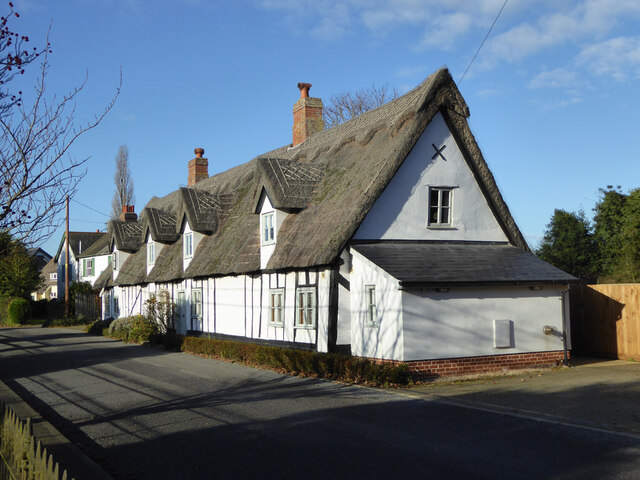
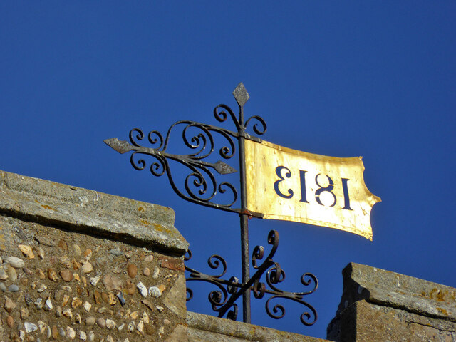
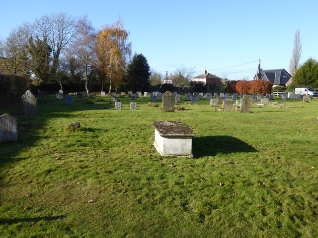
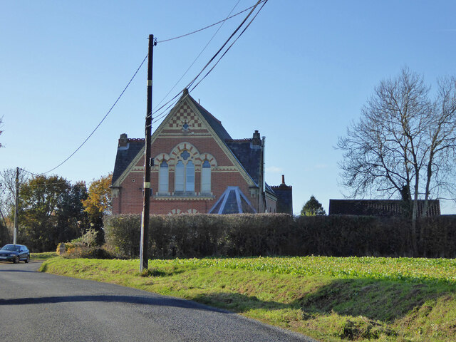
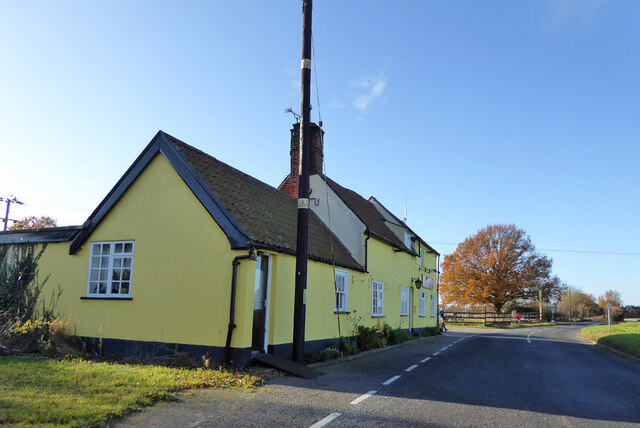
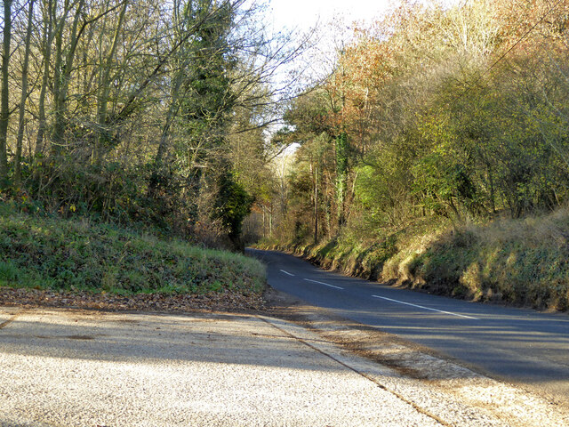
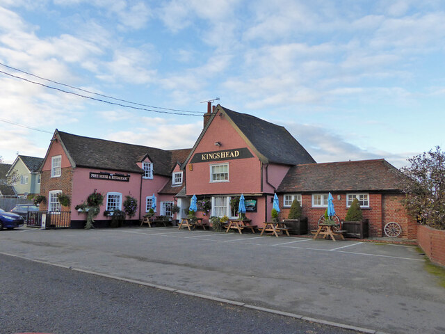
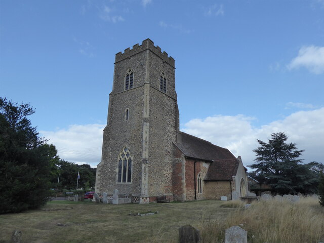
Furze Plantation Images
Images are sourced within 2km of 51.978706/1.1032661 or Grid Reference TM1335. Thanks to Geograph Open Source API. All images are credited.
Furze Plantation is located at Grid Ref: TM1335 (Lat: 51.978706, Lng: 1.1032661)
Administrative County: Suffolk
District: Babergh
Police Authority: Suffolk
What 3 Words
///powder.parent.postings. Near Holbrook, Suffolk
Nearby Locations
Related Wikis
Tattingstone Wonder
The Tattingstone Wonder is a folly at Tattingstone in Suffolk, England. Located some 6 miles (9.7 km) south of Ipswich the Tattingstone Wonder was originally...

Tattingstone
Tattingstone is a village and civil parish in Suffolk, England. It is situated on the Shotley peninsula, about 5 miles (8 km) south of Ipswich. The 2011...

Bentley railway station (Suffolk)
Bentley railway station, also known as Bentley Junction between 1849 and 1878, was located in Bentley, Suffolk on the Great Eastern Main Line. It opened...

Stutton, Suffolk
Stutton is a small village and a civil parish approximately seven miles south of Ipswich in Suffolk, United Kingdom, on the Shotley peninsula. The village...

Alton Water
Alton Water (or Alton Reservoir) is a manmade reservoir located on the Shotley peninsula. It is the largest in Suffolk, with a perimeter of over 8 miles...

Blackbourn Hundred
Blackbourn was a hundred of Suffolk, consisting of 66,272 acres (26,819 ha). Blackbourn hundred was situated in the north-west of Suffolk. Its northern...
Samford Hundred
Samford was a hundred of Suffolk, consisting of 44,940 acres (181.9 km2). It was situated to the south and south west of Ipswich. The hundred was bounded...

Bentley, Suffolk
Bentley is a village and civil parish in the Babergh district of Suffolk, England, about 6 miles (10 km) southwest of Ipswich. The 2011 Census recorded...
Nearby Amenities
Located within 500m of 51.978706,1.1032661Have you been to Furze Plantation?
Leave your review of Furze Plantation below (or comments, questions and feedback).