Icehouse Plantation
Wood, Forest in Norfolk Broadland
England
Icehouse Plantation

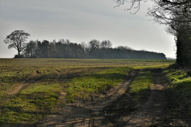
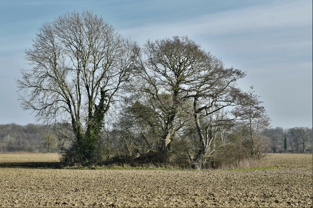
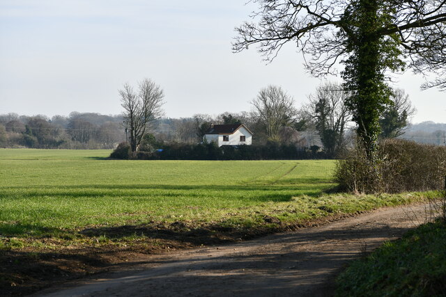
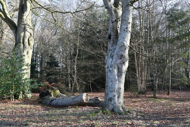
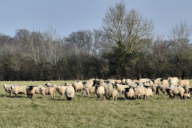
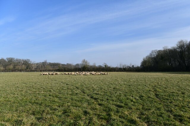
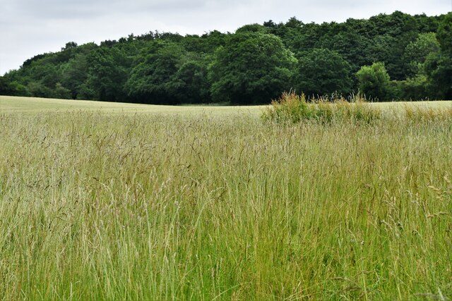
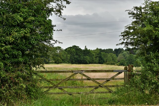
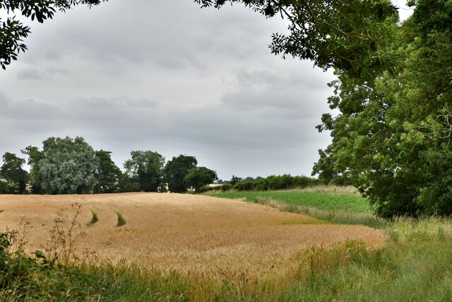
Icehouse Plantation is a historic woodland located in Norfolk, England. Spanning over an impressive area, it is renowned for its picturesque beauty and rich biodiversity. The plantation is primarily composed of dense woodlands and sprawling forests, creating a serene and tranquil environment for visitors.
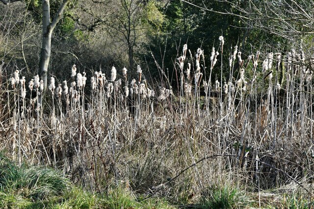
The woodland is home to a diverse range of flora and fauna species. Towering oak and beech trees dominate the landscape, providing shelter and habitat for various woodland creatures. Bluebells, primroses, and wild garlic carpet the forest floor during spring, creating a vibrant and enchanting scene. The plantation also boasts a stunning array of bird species, including woodpeckers, owls, and warblers, making it a haven for birdwatchers.
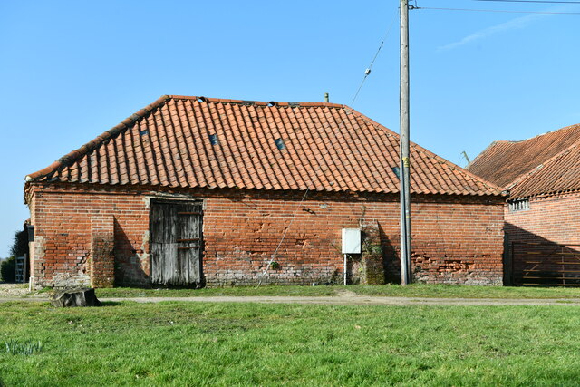
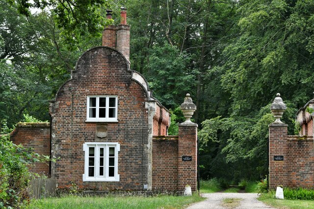
One of the notable features of Icehouse Plantation is its historic icehouse, from which the plantation derives its name. The icehouse, dating back to the 18th century, was used to store ice during the winter months to be used throughout the year. It serves as a reminder of the plantation's rich past and adds to the overall charm and character of the site.
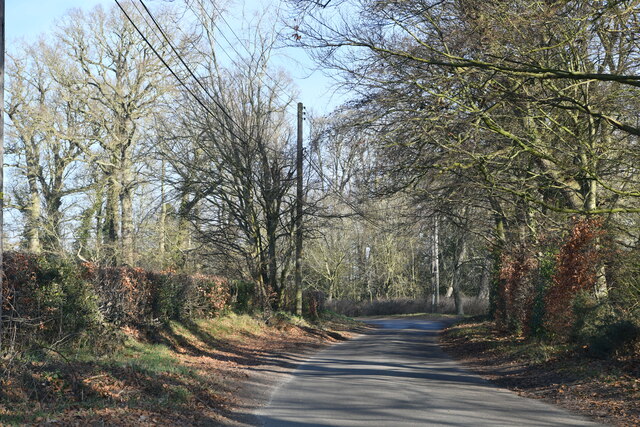
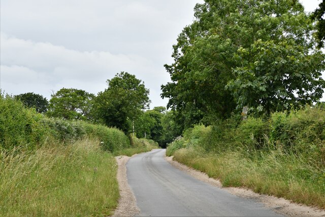
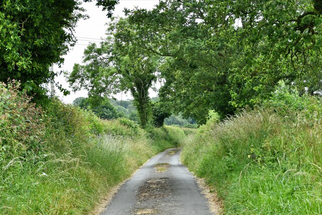
The plantation offers various recreational activities for visitors to enjoy. There are well-maintained walking trails that wind through the woodland, allowing visitors to immerse themselves in nature and take in the breathtaking scenery. Picnic areas are also available, providing a perfect spot for families and friends to relax and enjoy a meal surrounded by the beauty of the plantation.
Icehouse Plantation is a cherished natural gem in Norfolk, offering a tranquil retreat from the hustle and bustle of everyday life. Its scenic beauty, diverse wildlife, and historical significance make it a must-visit destination for nature enthusiasts and history buffs alike.
If you have any feedback on the listing, please let us know in the comments section below.
Icehouse Plantation Images
Images are sourced within 2km of 52.80774/1.1357646 or Grid Reference TG1127. Thanks to Geograph Open Source API. All images are credited.
Icehouse Plantation is located at Grid Ref: TG1127 (Lat: 52.80774, Lng: 1.1357646)
Administrative County: Norfolk
District: Broadland
Police Authority: Norfolk
What 3 Words
///studs.strapping.mimic. Near Cawston, Norfolk
Nearby Locations
Related Wikis

Heydon, Norfolk
Heydon is a village and civil parish in Norfolk, England. It is located 3 miles (4.8 km) north of the market town of Reepham. The village can be accessed...

Corpusty and Saxthorpe railway station
Corpusty and Saxthorpe railway station was a railway station in the North Norfolk village of Corpusty. It was opened by the Eastern & Midlands Railway...

Oulton, Norfolk
Oulton is a village and civil parish in Norfolk, England. Nearby towns are Reepham and Aylsham. The parish covers an area of 10.58 km2 (4.08 sq mi) and...

Saxthorpe
Saxthorpe is a village in Norfolk, England. The village is 12 miles (19 km) west south west of Cromer and 16.3 miles (26.2 km) north north west of Norwich...

Wood Dalling
Wood Dalling is a village and civil parish in Norfolk, England. It is located 8 miles (13 km) south of Holt and 3 miles (4.8 km) north of Reepham, the...

Bluestone railway station
Bluestone railway station was a station in Norfolk, England. It was on the Midland and Great Northern Joint Railway between Corpusty and Aylsham North...

Salle, Norfolk
Salle ( SAWL) is a small village and civil parish in the Broadland district, in the county of Norfolk, England. 1.5 miles (2.4 km) to the south is the...

RAF Oulton
Royal Air Force Oulton or more simply RAF Oulton is a former Royal Air Force satellite station located 3 miles (4.8 km) west of Aylsham, Norfolk and 12...
Nearby Amenities
Located within 500m of 52.80774,1.1357646Have you been to Icehouse Plantation?
Leave your review of Icehouse Plantation below (or comments, questions and feedback).