Heydon

Settlement in Norfolk Broadland

England

Heydon

Spink's Lane Spink's Lane public right of way
Spink's Lane Credit: P Gaskell

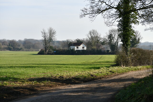
Heydon is a small village located in the county of Norfolk, England. Situated about 15 miles north-west of Norwich, it is nestled in the heart of the Norfolk countryside. The village is known for its picturesque setting and historic charm.

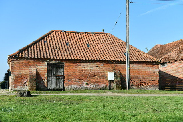
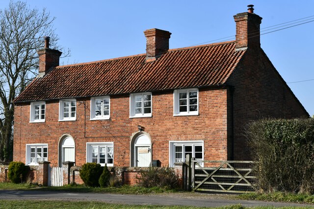
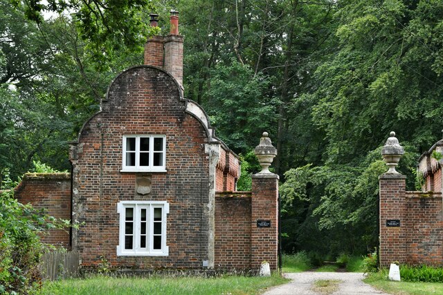
Heydon is characterized by its well-preserved medieval architecture, with many of its buildings dating back to the 17th century. The village green, surrounded by timber-framed houses and thatched cottages, creates a quintessential English village scene. The centerpiece of Heydon is the grand Heydon Hall, a Grade I listed building that has been in the ownership of the Bulwer family for over four centuries.

Despite its small size, Heydon offers amenities for both locals and visitors. The village boasts a popular tearoom where visitors can enjoy traditional afternoon tea, as well as a village pub offering a cozy atmosphere and local ales. Heydon also hosts an annual country fair, attracting crowds from near and far with its traditional games, craft stalls, and entertainment.

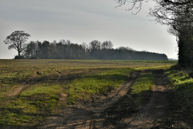
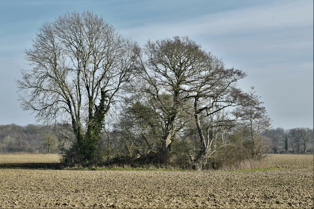
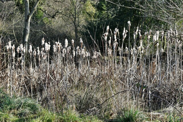
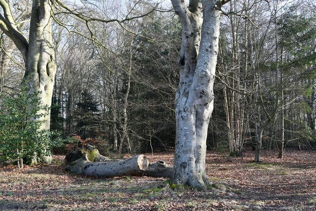
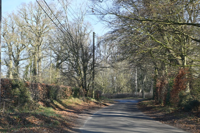
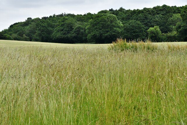
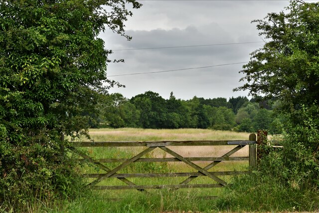
For those seeking outdoor pursuits, Heydon is surrounded by scenic countryside, making it an ideal destination for walking and cycling enthusiasts. The village is also within close proximity to the Blickling Estate, a National Trust property renowned for its stunning gardens and historic house.

All in all, Heydon is a charming and idyllic village that offers visitors a taste of rural Norfolk and a glimpse into England's rich history.

If you have any feedback on the listing, please let us know in the comments section below.
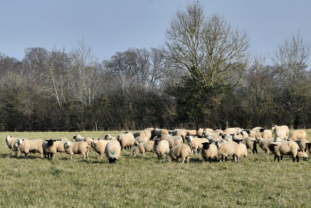
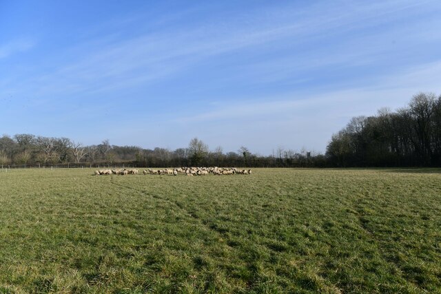
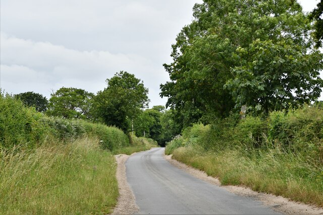
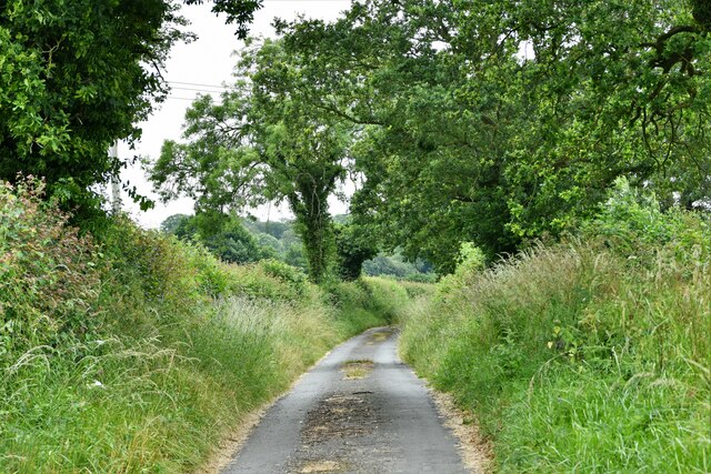
Heydon Images

Images are sourced within 2km of 52.801753/1.134617 or Grid Reference TG1127. Thanks to Geograph Open Source API. All images are credited.

Spink's Lane Spink's Lane public right of way
Spink's Lane
Spink's Lane public right of way
Wood Dalling: Track leading to a small area of woodland
Wood Dalling: Small clump of trees within a large ploughed field
Wood Dalling: 'Grove End' in Heydon Lane
Heydon: Home Farm
Heydon: Home Farm
Heydon: Reeds verging a pond
Heydon: Old Common
Heydon: Old Common
Heydon: Corpusty Road
Heydon: Holly Grove Farmhouse
Heydon: Sheep in a large field
Salle: Reepham Road
Salle: Reepham Road
Heydon: Watery Lane
Heydon: Watery Lane
Wood Dalling: Heydon Lane
Wood Dalling: Oak Grove
Heydon: Corpusty Lodges
Heydon Road
Heydon Road
Heydon Road: Gated field
Show me another place!

Heydon is located at Grid Ref: TG1127 (Lat: 52.801753, Lng: 1.134617)

Administrative County: Norfolk

District: Broadland

Police Authority: Norfolk

What 3 Words

///digesting.moral.taking. Near Reepham, Norfolk

Related Wikis

Heydon, Norfolk

Heydon is a village and civil parish in Norfolk, England. It is located 3 miles (4.8 km) north of the market town of Reepham. The village can be accessed...

Oulton, Norfolk

Oulton is a village and civil parish in Norfolk, England. Nearby towns are Reepham and Aylsham. The parish covers an area of 10.58 km2 (4.08 sq mi) and...

Salle, Norfolk

Salle ( SAWL) is a small village and civil parish in the Broadland district, in the county of Norfolk, England. 1.5 miles (2.4 km) to the south is the...
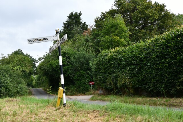
Wood Dalling

Wood Dalling is a village and civil parish in Norfolk, England. It is located 8 miles (13 km) south of Holt and 3 miles (4.8 km) north of Reepham, the...

Bluestone railway station

Bluestone railway station was a station in Norfolk, England. It was on the Midland and Great Northern Joint Railway between Corpusty and Aylsham North...

Corpusty and Saxthorpe railway station

Corpusty and Saxthorpe railway station was a railway station in the North Norfolk village of Corpusty. It was opened by the Eastern & Midlands Railway...

Salle Park

Salle Park is a country house in Norfolk, England, near the village of Salle and about 10 miles (16 km) north-west of Norwich. The house is a Grade II...

RAF Oulton

Royal Air Force Oulton or more simply RAF Oulton is a former Royal Air Force satellite station located 3 miles (4.8 km) west of Aylsham, Norfolk and 12...

Nearby Amenities

Located within 500m of 52.801753,1.134617
Heydon
Ele: 45
Place: village
Population: 89
Source: npe
Wikidata: Q2507853
Wikipedia: en:Heydon, Norfolk
Lat/Long: 52.8021114/1.1335811
Bus Stop
Heydon Road, adj
Naptan AtcoCode: 2900W424
Naptan Bearing: SE
Naptan BusStopType: CUS
Naptan CommonName: Heydon Road
Naptan Indicator: adj
Naptan Landmark: The Street
Naptan Locality: Heydon
Naptan NaptanCode: nfogdtwg
Naptan ShortCommonName: Heydon Road
Naptan Street: Heydon Road
Naptan Verified: no
Source: naptan_import
Lat/Long: 52.7987221/1.1321351
Bus Stop
Heydon Road, opp
Naptan AtcoCode: 2900W425
Naptan Bearing: NW
Naptan BusStopType: CUS
Naptan CommonName: Heydon Road
Naptan Indicator: opp
Naptan Landmark: The Street
Naptan Locality: Heydon
Naptan NaptanCode: nfogdtwj
Naptan ShortCommonName: Heydon Road
Naptan Street: Heydon Road
Naptan Verified: no
Source: naptan_import
Lat/Long: 52.7986518/1.1320707
Barrier: cattle_grid
Lat/Long: 52.8032335/1.1348852
Jubilee Memorial
Alt Name: Well House
Historic: memorial
Inscription: Erected by Colonel W. E. G. Lytton Bulwer to commemorate the Jubilee year of the reign of Her Gracious Majesty Queen Victoria 21 June 1887
Listed Status: Grade II
Man Made: water_well
Material: brick
Memorial: yes
Start Date: 1887
Wikidata: Q26675026
Lat/Long: 52.8022507/1.1338296
Turning Circle
Lat/Long: 52.805105/1.1383865
Entrance: main
Lat/Long: 52.8025019/1.1336877
Entrance: main
Lat/Long: 52.8021439/1.1334567
Post Box
Collection Times: Mo-Fr 17:00; Sa 19:45
Operator: Royal Mail
Post Box Mounting: pier
Post Box Type: lamp
Royal Cypher: EIIR
Royal Cypher Wikidata: Q33102113
Lat/Long: 52.8021498/1.1334834
Bench
Backrest: yes
Material: wood
Lat/Long: 52.8024359/1.134262
Bench
Backrest: yes
Material: wood
Lat/Long: 52.8025157/1.1339983
Entrance: yes
Lat/Long: 52.8026961/1.1348254
Entrance: yes
Lat/Long: 52.8028944/1.1345217
Entrance: yes
Lat/Long: 52.8026834/1.1344276
Entrance: main
Lat/Long: 52.8028106/1.1343018
Give Way
Lat/Long: 52.7985022/1.1324686
Give Way
Lat/Long: 52.7986137/1.1324068
Avocet Antiques
Addr City: Heydon
Addr Housenumber: 5
Addr Postcode: NR11 6RQ
Addr Street: Church Farm Barns
Shop: antiques
Start Date: 2019
Lat/Long: 52.8025679/1.1332789
Husk Wood Fired Bakery
Addr City: Heydon
Addr Postcode: NR11 6RQ
Addr Street: The Street
Addr Village: Heydon
Fhrs Id: 147046
Note: Also does pizza on Fridays 17:30-20:30
Opening Hours: We-Sa 09:00-13:00
Shop: bakery
Takeaway: yes
Lat/Long: 52.8019083/1.1331656
Cafe
Tea Shop
Addr City: Heydon
Addr Postcode: NR11 6AD
Addr Street: The Street
Alt Name: Tea Rooms
Cuisine: english
Outdoor Seating: yes
Lat/Long: 52.80216/1.133417
The Wallflower and Wallace
Addr City: Heydon
Addr Housenumber: 2-3
Addr Postcode: NR11 6RQ
Addr Street: Church Farm Barns
Shop: florist
Lat/Long: 52.8023846/1.1333384
Moochi Modo
Addr City: Heydon
Addr Housenumber: 1
Addr Postcode: NR11 6RQ
Addr Street: Church Farm Barns
Shop: interior_decoration
Lat/Long: 52.8023546/1.1334859
Recycling
Recycling Glass: yes
Recycling Paper: yes
Recycling Type: container
Lat/Long: 52.80271/1.1328794
Beauty Barn
Addr City: Heydon
Addr Housenumber: 6
Addr Postcode: NR11 6RQ
Addr Street: Church Farm Barns
Beauty: skin_care
Shop: beauty
Start Date: 2019
Lat/Long: 52.8025983/1.133147
Turning Circle
Lat/Long: 52.8032474/1.1342987
Compton & Clarke
Addr City: Heydon
Addr Housenumber: 4
Addr Postcode: NR11 6RQ
Addr Street: Church Farm Barns
Shop: jewelry
Lat/Long: 52.8025095/1.1333381
Unit 7 Hair Salon
Addr City: Heydon
Addr Housenumber: 7
Addr Postcode: NR11 6RQ
Addr Street: Church Farm Barns
Shop: hairdresser
Start Date: 2020
Lat/Long: 52.8025925/1.1330363
Addr City: Heydon
Addr Housenumber: 1
Addr Postcode: NR11 6RQ
Addr Street: The Street
Lat/Long: 52.8017814/1.133495
Addr City: Heydon
Addr Housenumber: 11
Addr Postcode: NR11 6RQ
Addr Street: The Street
Lat/Long: 52.8017312/1.1334652
Barrier: bollard
Bicycle: dismount
Foot: permissive
Horse: private
Material: wood
Motor Vehicle: private
Lat/Long: 52.8020619/1.1339127
Waste Basket
Lat/Long: 52.8024174/1.1343425
Addr City: Heydon
Addr Housename: Church Farm House
Addr Postcode: NR11 6AD
Addr Street: The Street
Lat/Long: 52.8022298/1.1334431
Addr City: Heydon
Addr Housenumber: 6
Addr Postcode: NR11 6RQ
Addr Street: The Street
Lat/Long: 52.8020765/1.1333666
Addr City: Heydon
Addr Housenumber: 8
Addr Postcode: NR11 6RQ
Addr Street: The Street
Lat/Long: 52.8016776/1.1331359
Addr City: Heydon
Addr Housenumber: 12
Addr Postcode: NR11 6RQ
Addr Street: The Street
Lat/Long: 52.8016322/1.1334055
Addr City: Heydon
Addr Housenumber: 2
Addr Postcode: NR11 6RQ
Addr Street: The Street
Lat/Long: 52.8015405/1.1333573
Addr City: Heydon
Addr Housenumber: 9
Addr Postcode: NR11 6RQ
Addr Street: The Street
Oldhousenumber: 10
Lat/Long: 52.8017084/1.1329898
Addr City: Heydon
Addr Housename: School Cottage
Addr Postcode: NR11 6RQ
Addr Street: The Street
Alt Name: Old School Cottage
Lat/Long: 52.801394/1.1332531
Addr City: Heydon
Addr Housenumber: 14
Addr Postcode: NR11 6RQ
Addr Street: The Street
Lat/Long: 52.8014451/1.1332819
Addr Housenumber: 1
Lat/Long: 52.8023019/1.134667
Addr Housenumber: 2
Lat/Long: 52.8022501/1.134843
Access: private
Booth: K6
Colour: red
Covered: booth
Disused Amenity: telephone
Historic: yes
Listed Status: Grade II
Man Made: telephone_box
Material: metal
Lat/Long: 52.8028838/1.1339129
Bench
Backrest: yes
Bench: yes
Material: wood
Lat/Long: 52.8019797/1.1346495
Waste Basket
Lat/Long: 52.8025566/1.1339151
Defibrillator
Emergency: defibrillator
Ref GB The Circuit: 37D579F2-9A91-403F-A6F9-B12000A881E7
Lat/Long: 52.8023177/1.1335688
Board Type: notice
Information: board
Tourism: information
Lat/Long: 52.8023326/1.1335787
Stable Cottage
Addr City: Heydon
Guest House: bed_and_breakfast
Tourism: guest_house
Lat/Long: 52.8045414/1.1398288
Bench
Backrest: yes
Material: wood
Lat/Long: 52.8024757/1.1341324
Shelter
Bench: yes
Shelter Type: public_transport
Lat/Long: 52.7987608/1.1320755
Access: private
Historic: ruins
Historic Civilization: modern
Lat/Long: 52.8010581/1.1326507
Mary Read
Artwork Type: statue
Material: wood
Subject Wikidata: Q234421
Tourism: artwork
Lat/Long: 52.8025232/1.1336999
Direction: 105
Historic: memorial
Inscription: WWI - eight men of the parish who gave their lives, represented by a tree each, planted in 2018.
Material: metal
Memorial: plaque
Lat/Long: 52.8016827/1.1322982
Addr City: Heydon
Addr Housename: Dower House Annex
Addr Postcode: NR11 6AD
Addr Street: The Green
Lat/Long: 52.8019081/1.1336052
Barrier: cattle_grid
Lat/Long: 52.8033475/1.1343715
Information: guidepost
Tourism: information
Lat/Long: 52.798518/1.1323864
Barrier: bollard
Bicycle: dismount
Foot: yes
Horse: yes
Motor Vehicle: permit
Lat/Long: 52.8023807/1.1336387
The data included in this document is from www.openstreetmap.org. The data is made available under ODbL.

Have you been to Heydon?

Leave your review of Heydon below (or comments, questions and feedback).