Chasteney's Belt
Wood, Forest in Norfolk Broadland
England
Chasteney's Belt

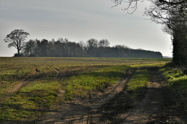
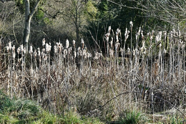
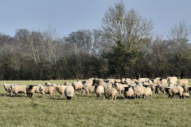
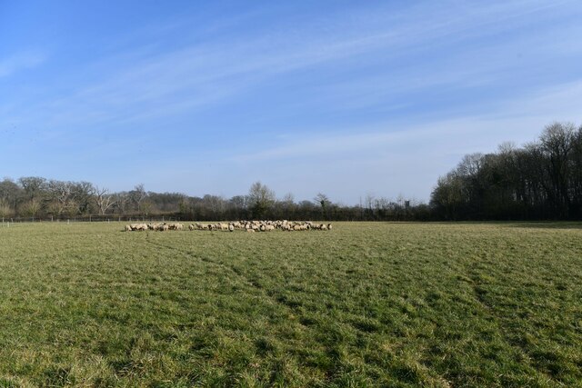
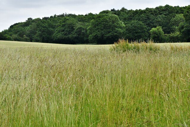
Chasteney's Belt, located in Norfolk, England, is a picturesque woodland area known for its serene beauty and rich biodiversity. Covering an approximate area of 200 acres, this ancient forest is a haven for nature lovers and those seeking solace in a tranquil environment.
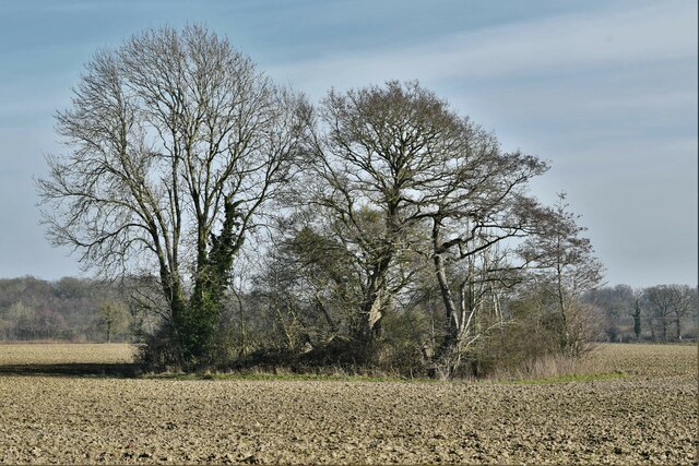
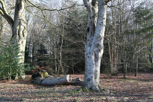
The forest is characterized by its dense canopy of native trees, including oak, beech, and ash, creating a vibrant tapestry of greens throughout the year. The forest floor is adorned with a multitude of wildflowers, ferns, and mosses, adding a splash of color to the landscape. Chasteney's Belt is also home to a diverse range of wildlife, with numerous species of birds, mammals, and insects thriving within its boundaries.
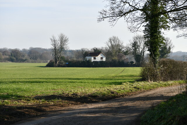
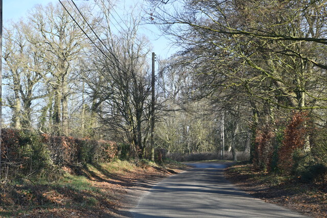
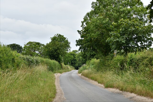
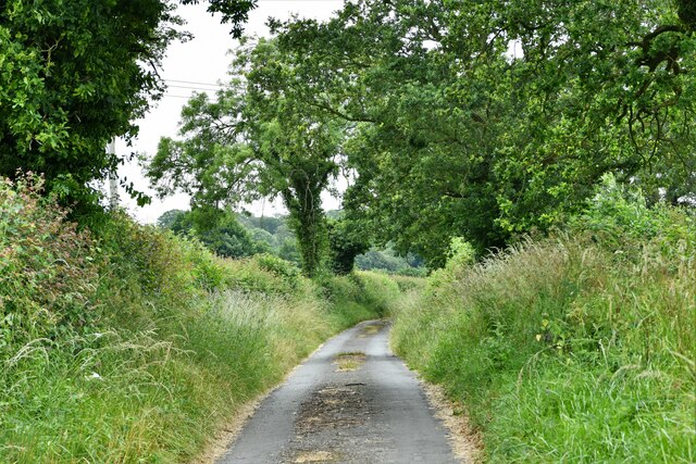
The forest boasts several well-maintained walking trails that wind their way through the woodland, allowing visitors to explore its natural wonders at their own pace. These paths offer stunning views of the surrounding countryside and provide opportunities for birdwatching and photography.
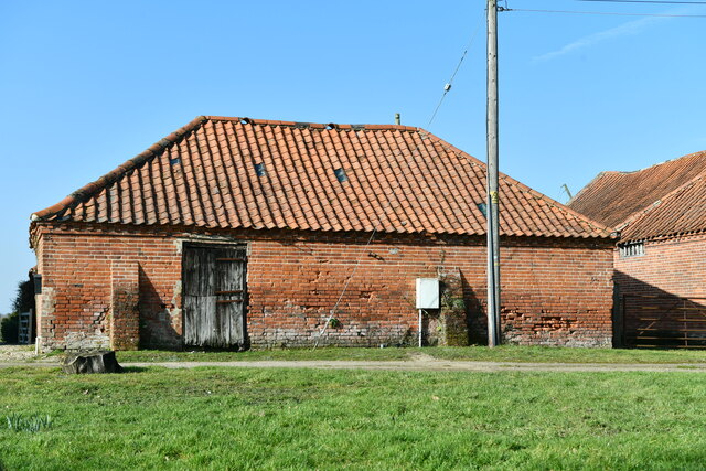
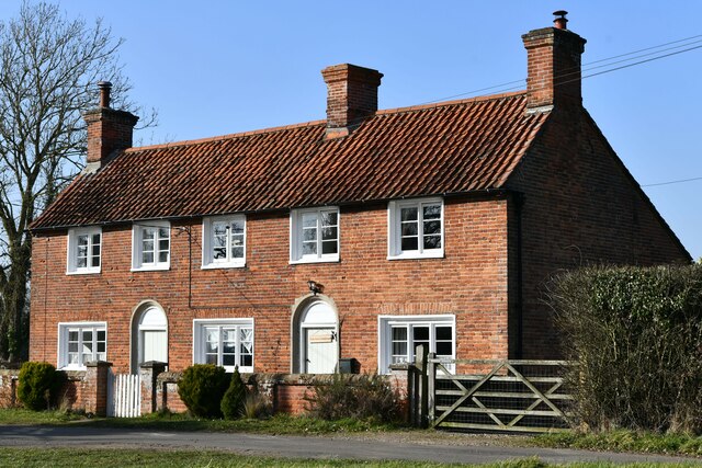
Moreover, Chasteney's Belt holds historical significance as it is believed to have been part of an ancient hunting ground dating back to medieval times. The forest is dotted with remnants of old hunting lodges and deer stands, serving as reminders of its past.
Chasteney's Belt is a popular destination for outdoor enthusiasts, offering a peaceful retreat from the hustle and bustle of everyday life. Its natural beauty and diverse ecosystem make it a must-visit location for anyone seeking to connect with nature and experience the serenity of a Norfolk woodland.
If you have any feedback on the listing, please let us know in the comments section below.
Chasteney's Belt Images
Images are sourced within 2km of 52.800513/1.1359861 or Grid Reference TG1127. Thanks to Geograph Open Source API. All images are credited.


Chasteney's Belt is located at Grid Ref: TG1127 (Lat: 52.800513, Lng: 1.1359861)
Administrative County: Norfolk
District: Broadland
Police Authority: Norfolk
What 3 Words
///baguette.tastier.thatched. Near Cawston, Norfolk
Related Wikis

Heydon, Norfolk
Heydon is a village and civil parish in Norfolk, England. It is located 3 miles (4.8 km) north of the market town of Reepham. The village can be accessed...

Salle, Norfolk
Salle ( SAWL) is a small village and civil parish in the Broadland district, in the county of Norfolk, England. 1.5 miles (2.4 km) to the south is the...

Oulton, Norfolk
Oulton is a village and civil parish in Norfolk, England. Nearby towns are Reepham and Aylsham. The parish covers an area of 10.58 km2 (4.08 sq mi) and...

Bluestone railway station
Bluestone railway station was a station in Norfolk, England. It was on the Midland and Great Northern Joint Railway between Corpusty and Aylsham North...

Salle Park
Salle Park is a country house in Norfolk, England, near the village of Salle and about 10 miles (16 km) north-west of Norwich. The house is a Grade II...

Wood Dalling
Wood Dalling is a village and civil parish in Norfolk, England. It is located 8 miles (13 km) south of Holt and 3 miles (4.8 km) north of Reepham, the...

Corpusty and Saxthorpe railway station
Corpusty and Saxthorpe railway station was a railway station in the North Norfolk village of Corpusty. It was opened by the Eastern & Midlands Railway...

RAF Oulton
Royal Air Force Oulton or more simply RAF Oulton is a former Royal Air Force satellite station located 3 miles (4.8 km) west of Aylsham, Norfolk and 12...
Nearby Amenities
Located within 500m of 52.800513,1.1359861Have you been to Chasteney's Belt?
Leave your review of Chasteney's Belt below (or comments, questions and feedback).