Little Moor Pond
Lake, Pool, Pond, Freshwater Marsh in Norfolk Broadland
England
Little Moor Pond

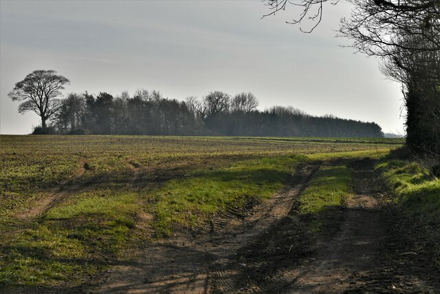
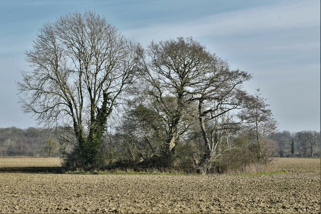
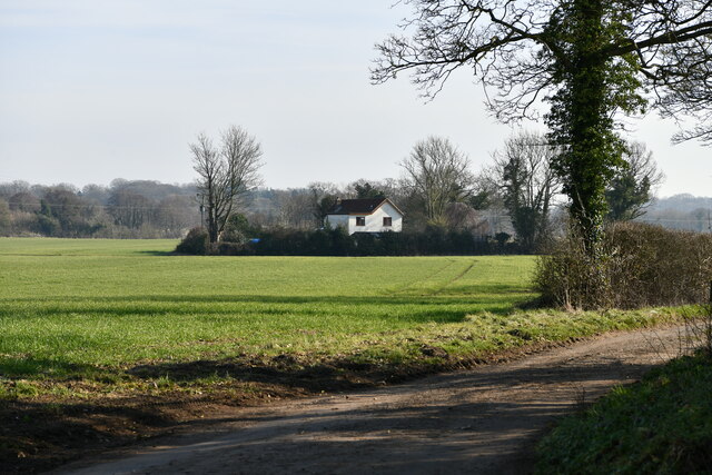
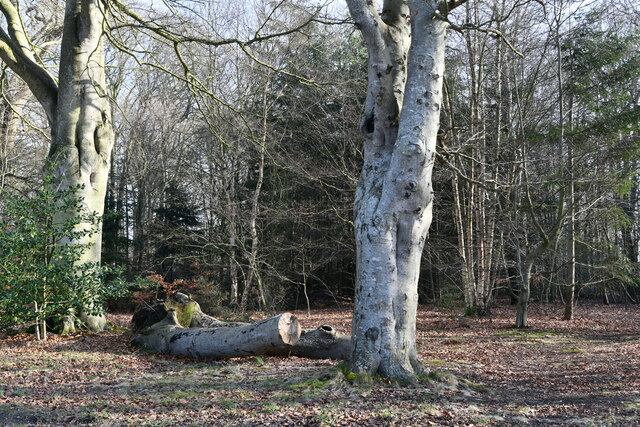
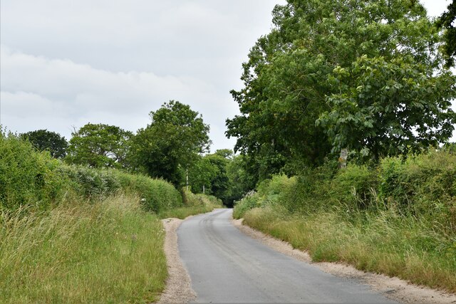
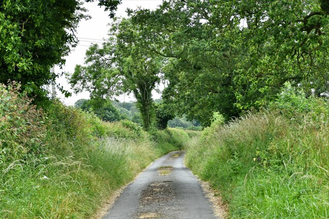
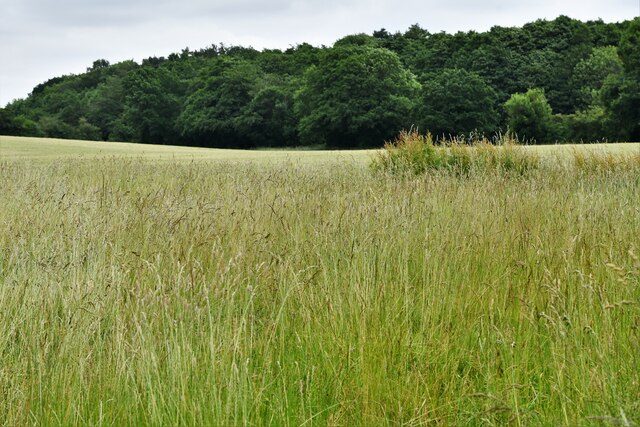
Little Moor Pond is a small freshwater body located in Norfolk, England. It is classified as a pond and is part of the broader wetland ecosystem known as Little Moor, which consists of several ponds, lakes, and marshes. The pond is situated within a low-lying area surrounded by grasslands and reed beds, providing a diverse habitat for various species of plants and animals.
With a surface area of approximately one acre, Little Moor Pond is relatively small in size. It is characterized by its calm, still waters, which are often covered with lily pads and other aquatic vegetation. The pond is fed by freshwater springs and rainfall, ensuring a constant supply of water throughout the year.
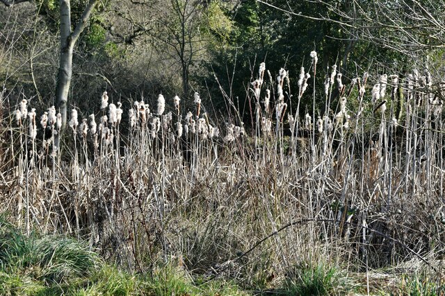
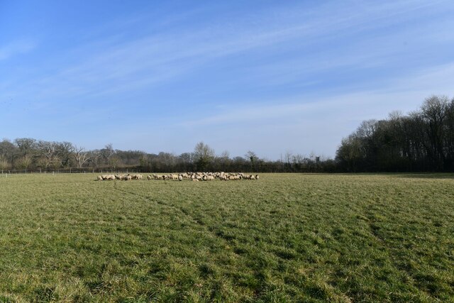
The pond supports a rich biodiversity, serving as a critical habitat for both resident and migratory bird species. Common species that can be spotted here include ducks, swans, herons, and various songbirds. The surrounding reed beds provide nesting sites and shelter for these birds, as well as other small mammals and amphibians.
Little Moor Pond is also home to a diverse range of aquatic plants, including water lilies, reeds, and submerged vegetation. These plants play a crucial role in maintaining the water quality and providing a food source for many aquatic organisms.
The pond and its surrounding wetlands are popular among nature enthusiasts and birdwatchers, offering opportunities for peaceful walks and wildlife observation. It is managed and protected by local conservation organizations to ensure the preservation of this unique and valuable ecosystem.
If you have any feedback on the listing, please let us know in the comments section below.
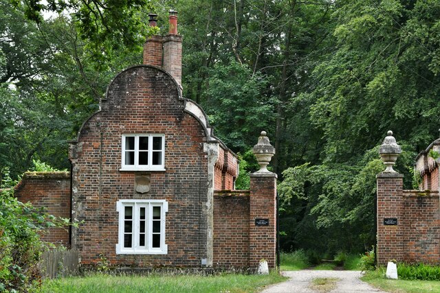
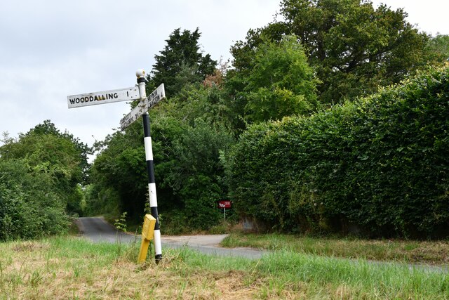
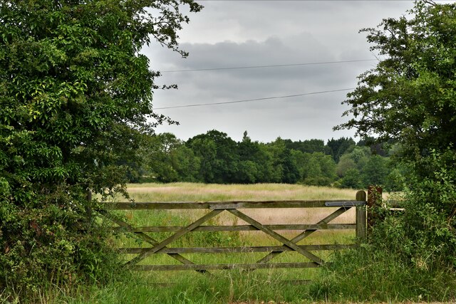
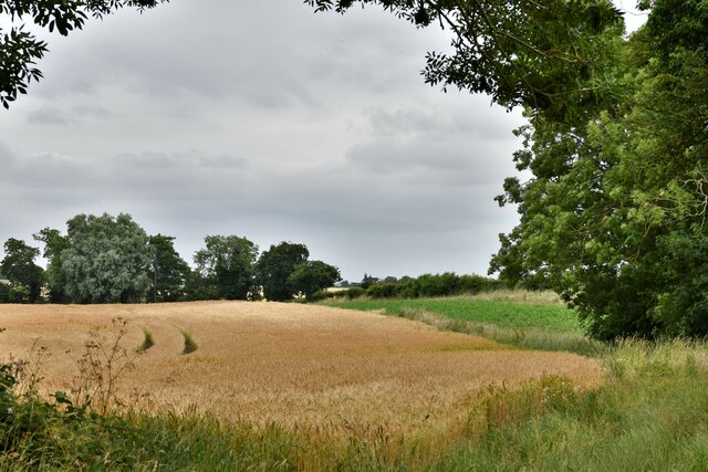
Little Moor Pond Images
Images are sourced within 2km of 52.807222/1.1369887 or Grid Reference TG1127. Thanks to Geograph Open Source API. All images are credited.

Little Moor Pond is located at Grid Ref: TG1127 (Lat: 52.807222, Lng: 1.1369887)
Administrative County: Norfolk
District: Broadland
Police Authority: Norfolk
What 3 Words
///crouching.stealthier.rockets. Near Cawston, Norfolk
Related Wikis

Heydon, Norfolk
Heydon is a village and civil parish in Norfolk, England. It is located 3 miles (4.8 km) north of the market town of Reepham. The village can be accessed...

Oulton, Norfolk
Oulton is a village and civil parish in Norfolk, England. Nearby towns are Reepham and Aylsham. The parish covers an area of 10.58 km2 (4.08 sq mi) and...

Corpusty and Saxthorpe railway station
Corpusty and Saxthorpe railway station was a railway station in the North Norfolk village of Corpusty. It was opened by the Eastern & Midlands Railway...

Saxthorpe
Saxthorpe is a village in Norfolk, England. The village is 12 miles (19 km) west south west of Cromer and 16.3 miles (26.2 km) north north west of Norwich...

Bluestone railway station
Bluestone railway station was a station in Norfolk, England. It was on the Midland and Great Northern Joint Railway between Corpusty and Aylsham North...

Wood Dalling
Wood Dalling is a village and civil parish in Norfolk, England. It is located 8 miles (13 km) south of Holt and 3 miles (4.8 km) north of Reepham, the...

Salle, Norfolk
Salle ( SAWL) is a small village and civil parish in the Broadland district, in the county of Norfolk, England. 1.5 miles (2.4 km) to the south is the...

RAF Oulton
Royal Air Force Oulton or more simply RAF Oulton is a former Royal Air Force satellite station located 3 miles (4.8 km) west of Aylsham, Norfolk and 12...
Nearby Amenities
Located within 500m of 52.807222,1.1369887Have you been to Little Moor Pond?
Leave your review of Little Moor Pond below (or comments, questions and feedback).