The Belt
Wood, Forest in Norfolk Broadland
England
The Belt

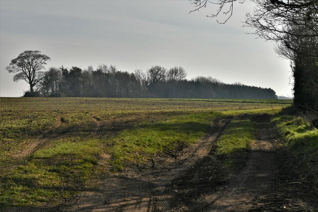
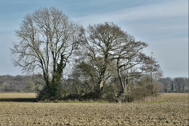
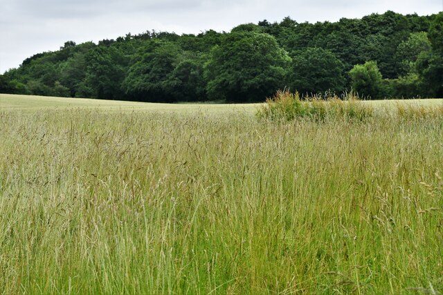
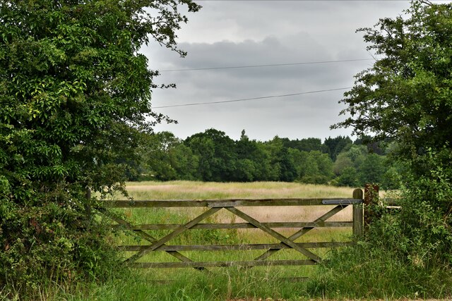
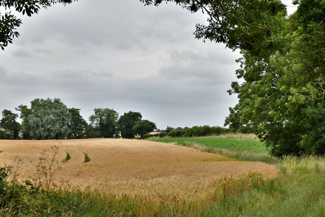
The Belt, Norfolk, also known as Wood or Forest, is a unique natural area located in the county of Norfolk, England. Stretching across approximately 50 square kilometers, The Belt is a dense woodland that is home to a diverse range of plant and animal species.
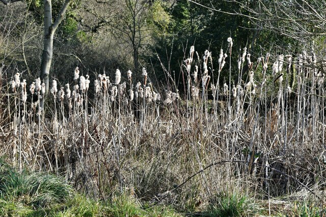
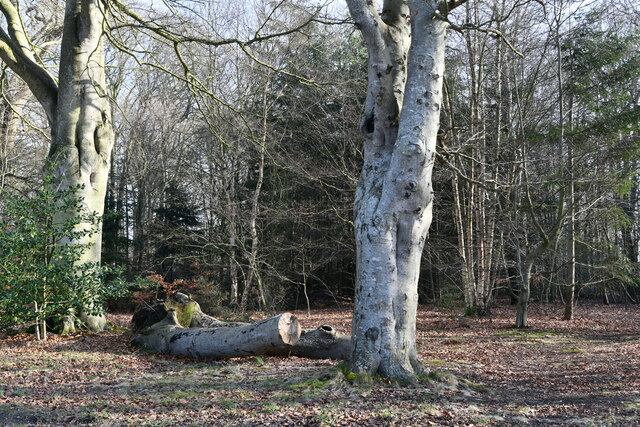
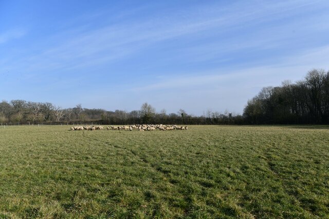
The woodland is primarily composed of deciduous trees, such as oak, beech, and birch, which form a dense canopy, creating a shaded and secluded environment. The forest floor is covered in a thick layer of leaf litter, providing a suitable habitat for various small mammals, including squirrels, rabbits, and hedgehogs.
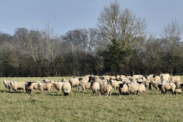
The Belt is also renowned for its rich birdlife. It serves as a breeding ground and a resting place for several species, including woodpeckers, nightingales, and owls. Birdwatchers often flock to the area to catch a glimpse of these magnificent creatures.
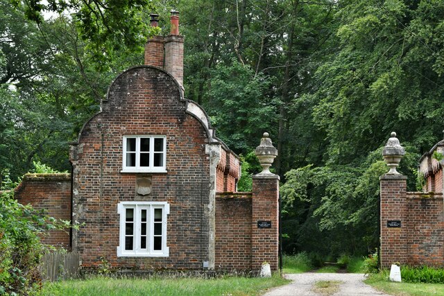
In addition to its ecological importance, The Belt also holds historical significance. It has been a part of Norfolk's landscape for centuries and has witnessed various human activities throughout its existence. It is believed that the woodland was once used for hunting purposes by nobles and royalty.
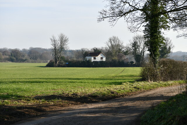
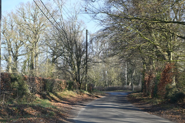
Today, The Belt is a popular destination for nature enthusiasts, hikers, and photographers. The tranquil atmosphere, coupled with its stunning natural beauty, attracts visitors from near and far. Local authorities have also designated certain areas within the woodland as nature reserves to protect its fragile ecosystem.
Overall, The Belt, Norfolk, is a remarkable woodland that offers a haven for wildlife and a serene escape for those seeking to connect with nature.
If you have any feedback on the listing, please let us know in the comments section below.
The Belt Images
Images are sourced within 2km of 52.807914/1.1380329 or Grid Reference TG1127. Thanks to Geograph Open Source API. All images are credited.
The Belt is located at Grid Ref: TG1127 (Lat: 52.807914, Lng: 1.1380329)
Administrative County: Norfolk
District: Broadland
Police Authority: Norfolk
What 3 Words
///elbowing.sobbed.harmless. Near Cawston, Norfolk
Related Wikis

Heydon, Norfolk
Heydon is a village and civil parish in Norfolk, England. It is located 3 miles (4.8 km) north of the market town of Reepham. The village can be accessed...

Oulton, Norfolk
Oulton is a village and civil parish in Norfolk, England. Nearby towns are Reepham and Aylsham. The parish covers an area of 10.58 km2 (4.08 sq mi) and...

Corpusty and Saxthorpe railway station
Corpusty and Saxthorpe railway station served the North Norfolk villages of Corpusty and Saxthorpe. == History == It was opened by the Eastern & Midlands...

Saxthorpe
Saxthorpe is a village in Norfolk, England. The village is 12 miles (19 km) west south west of Cromer and 16.3 miles (26.2 km) north north west of Norwich...
Nearby Amenities
Located within 500m of 52.807914,1.1380329Have you been to The Belt?
Leave your review of The Belt below (or comments, questions and feedback).