Crawford's Rough

Wood, Forest in Kent Canterbury

England

Crawford's Rough

North Bishopden Wood Permissive footpath heading to Crooked Oak from the edge of Blean Wood open access area.
North Bishopden Wood Credit: Simon Carey

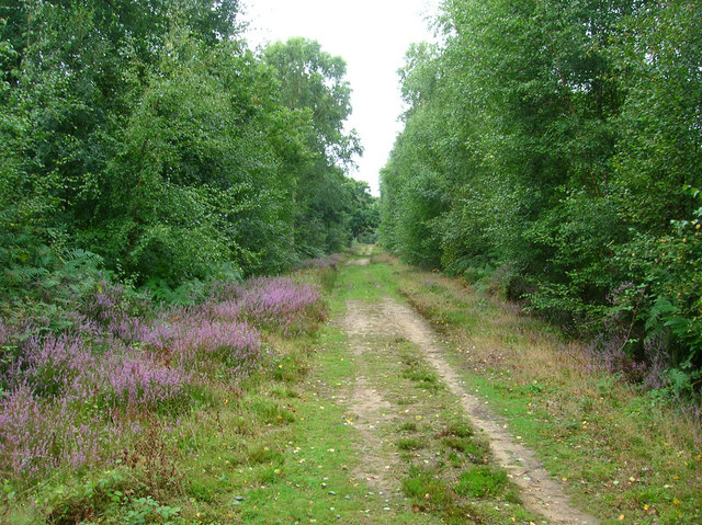
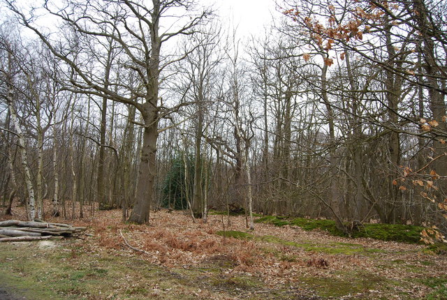
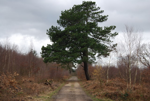
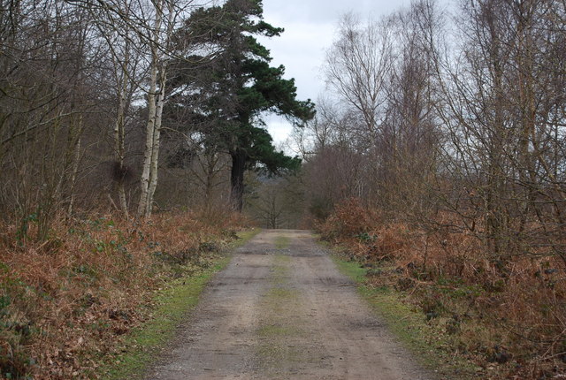
Crawford's Rough, located in Kent, England, is a sprawling woodland area known for its natural beauty and diverse ecosystem. Covering an area of approximately 100 acres, this forest is a popular destination for nature lovers, hikers, and wildlife enthusiasts.

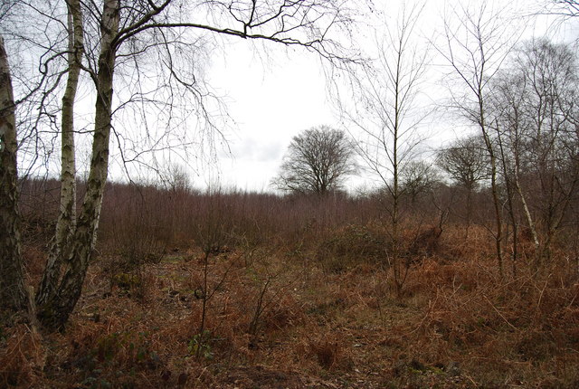
The woodland is characterized by a mix of broadleaf and coniferous trees, providing a varied and picturesque landscape. Towering oak, beech, and birch trees dominate the forest, creating a dense canopy that offers shade and shelter for the numerous species that call Crawford's Rough home.

The forest floor is covered in a thick carpet of moss, ferns, and wildflowers, adding to the enchanting ambiance of the area. The undergrowth is teeming with a rich array of plant life, including bluebells, primroses, and foxgloves, adding vibrant splashes of color to the green surroundings.

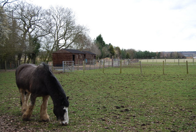
Crawford's Rough is also home to a diverse range of wildlife. Visitors may spot deer, rabbits, squirrels, and a variety of bird species, including woodpeckers, owls, and songbirds. The forest provides a crucial habitat for these creatures, offering food, water, and shelter.

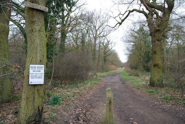
Trails and footpaths wind their way through the woodland, allowing visitors to explore the area and appreciate its natural wonders. Many visitors enjoy picnicking amidst the tranquility of the forest, while others take the opportunity to engage in birdwatching or nature photography.

Overall, Crawford's Rough in Kent is a captivating woodland that offers a peaceful retreat from the hustle and bustle of daily life, providing a haven for both nature and outdoor enthusiasts.

If you have any feedback on the listing, please let us know in the comments section below.

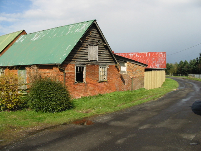
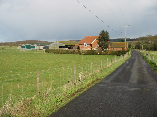
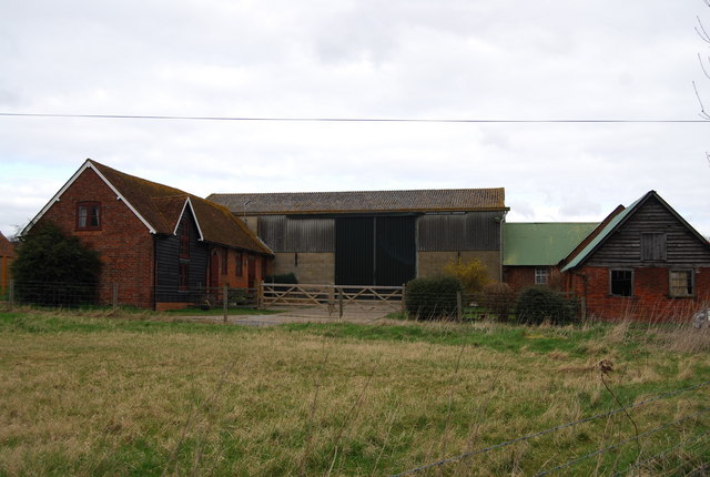
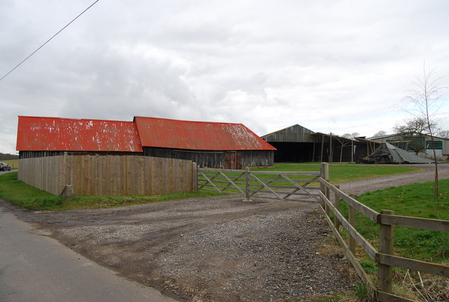
Crawford's Rough Images

Images are sourced within 2km of 51.306149/1.0344059 or Grid Reference TR1160. Thanks to Geograph Open Source API. All images are credited.

North Bishopden Wood Permissive footpath heading to Crooked Oak from the edge of Blean Wood open access area.
North Bishopden Wood
Permissive footpath heading to Crooked Oak from the edge of Blean Wood open access area.
View along Denstroude Lane to junction with road to Parsonage farm
Meeting of the ways! Denstroude Lane, footpath and road to Parsonage Farm
Meeting of the ways!
Denstroude Lane, footpath and road to Parsonage Farm
Road to Brook Farm from Denstroude Lane
Footpaths and road to Parsonage Farm off Denstroude Lane
Looking NE along Denstroude Lane
Denstroude Farm on Denstroude Lane
Footpath to North Bishopden Wood North Bishopden Wood is part of the much larger Blean Woods National Nature Reserve.
Footpath to North Bishopden Wood
North Bishopden Wood is part of the much larger Blean Woods National Nature Reserve.
Farm buildings on Denstroude Farm
Denstroude Farm on Denstroude Lane
Earthbank, Blean Wood The earthbank is a boundary between 2 districts or parishes, probably dating back many hundreds of years.
Earthbank, Blean Wood
The earthbank is a boundary between 2 districts or parishes, probably dating back many hundreds of years.
Large conifer by the path, North Bishopden Wood
Track, North Bishopden Wood
Clearing, North Bishopden Wood
Track into Blean Wood Nature Reserve West Blean (including Thornden Wood) is a SSSI and forms an important part of a wider conservation jigsaw, linking the Blean Woods National Nature Reserve in the west with East Blean Wood in the east, and thereby establishing a continuous nature conservation complex, owned and managed by a partnership of local and national bodies. (KWT)
40% of the reserve is densely planted conifer plantation and 40% is sweet chestnut coppice plantation. The remaining 20% is mixed native deciduous woodland.
Part of the woods is the Blean Wood National Nature Reserve. <span class="nowrap"><a title="http://www.theblean.co.uk/" rel="nofollow ugc noopener" href="http://www.theblean.co.uk/">Link</a><img style="margin-left:2px;" alt="External link" title="External link - shift click to open in new window" src="https://s1.geograph.org.uk/img/external.png" width="10" height="10"/></span>  
Natural England: <span class="nowrap"><a title="http://www.naturalengland.org.uk/ourwork/conservation/designatedareas/nnr/1006017.aspx" rel="nofollow ugc noopener" href="http://www.naturalengland.org.uk/ourwork/conservation/designatedareas/nnr/1006017.aspx">Link</a><img style="margin-left:2px;" alt="External link" title="External link - shift click to open in new window" src="https://s1.geograph.org.uk/img/external.png" width="10" height="10"/></span>
Track into Blean Wood Nature Reserve
West Blean (including Thornden Wood) is a SSSI and forms an important part of a wider conservation jigsaw, linking the Blean Woods National Nature Reserve in the west with East Blean Wood in the east, and thereby establishing a continuous nature conservation complex, owned and managed by a partnership of local and national bodies. (KWT) 40% of the reserve is densely planted conifer plantation and 40% is sweet chestnut coppice plantation. The remaining 20% is mixed native deciduous woodland. Part of the woods is the Blean Wood National Nature Reserve. LinkExternal link Natural England: LinkExternal link
Horse in a paddock, Denstroude Lane
Denstroude Farm, Denstroude Lane
Denstroude Farm, Denstroude Lane (2)
Show me another place!

Crawford's Rough is located at Grid Ref: TR1160 (Lat: 51.306149, Lng: 1.0344059)

Administrative County: Kent

District: Canterbury

Police Authority: Kent

What 3 Words

///snooze.plans.slowness. Near Blean, Kent

Related Wikis

Blean

Blean is a village and civil parish in the Canterbury district of Kent, England. The civil parish is large and is mostly woodland, much of which is ancient...

Honey Hill, Kent

Honey Hill is a hamlet on the A290 road, near the village of Blean, in the Canterbury district, in the English county of Kent.

Canterbury (UK Parliament constituency)

Canterbury is a constituency in Kent represented in the House of Commons of the UK Parliament since 2017 by Rosie Duffield of the Labour Party.The seat...

Denstroude

Denstroude is a dispersed hamlet located to the west of the A290 road north of Canterbury in Kent, England. It is a collection of houses and farms, one...

Church Woods, Blean

Church Woods, Blean is a 526.7-hectare (1,302-acre) biological Site of Special Scientific Interest north-west of Canterbury in Kent. It is a Nature Conservation...

Blean and Tyler Hill Halt railway station

Blean and Tyler Hill Halt was a minor station on the Canterbury and Whitstable Railway at Tyler Hill, Kent. It opened in 1908 and closed in 1931. ��2...

Rough Common

Rough Common is a village in Canterbury in the parrish of Harbledown, Kent, England. It forms part of the civil parish of Harbledown and Rough Common...

Fifteenth Lambeth Conference

The fifteenth Lambeth Conference was an assembly of bishops of the Anglican Communion convened by the archbishop of Canterbury, Justin Welby, between 27...

Nearby Amenities

Located within 500m of 51.306149,1.0344059
Generator Method: photovoltaic
Generator Orientation: 139
Generator Output Electricity: yes
Generator Solar Modules: 14
Generator Source: solar
Generator Type: solar_photovoltaic_panel
Location: roof
Power: generator
Lat/Long: 51.3088263/1.0397959
The data included in this document is from www.openstreetmap.org. The data is made available under ODbL.

Have you been to Crawford's Rough?

Leave your review of Crawford's Rough below (or comments, questions and feedback).