Great Belt
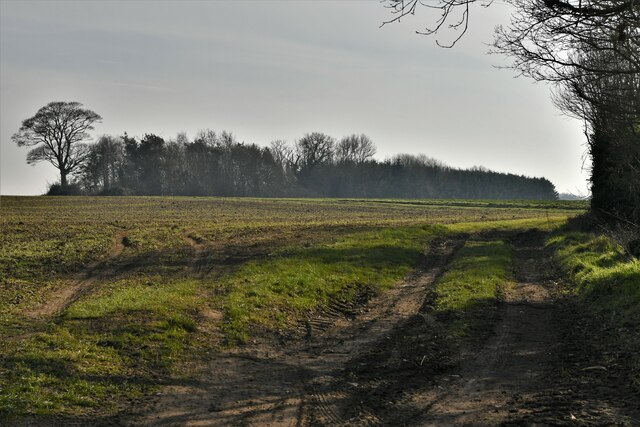
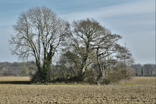
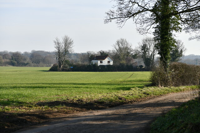
Wood, Forest in Norfolk Broadland
England
Great Belt

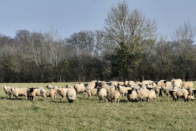
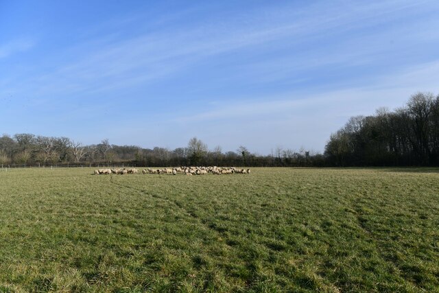
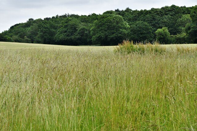
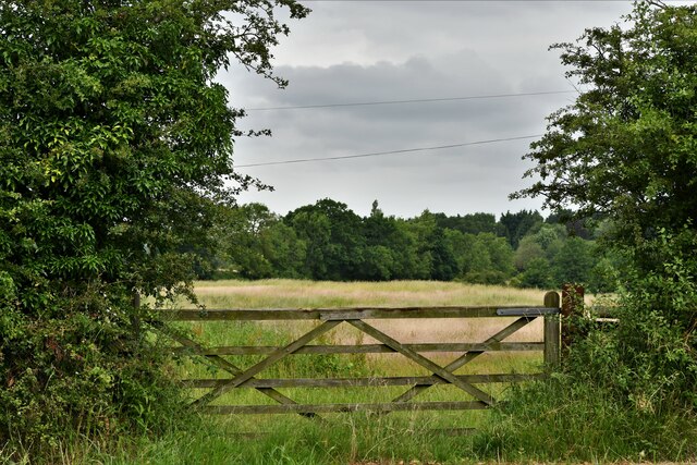
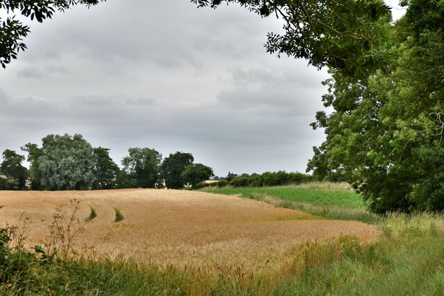
Great Belt, Norfolk (Wood, Forest) is a picturesque woodland area located in the county of Norfolk, England. It covers an approximate area of 500 acres and is situated near the village of Great Belt, which is known for its rural charm and natural beauty.
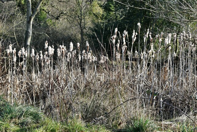
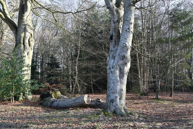
The woodland of Great Belt is characterized by a variety of tree species, including oak, beech, ash, and birch. The dense canopy created by these trees provides a sheltered habitat for a diverse range of flora and fauna. The forest floor is covered in a thick layer of leaf litter, creating a rich and fertile ground for various plants and fungi to thrive.
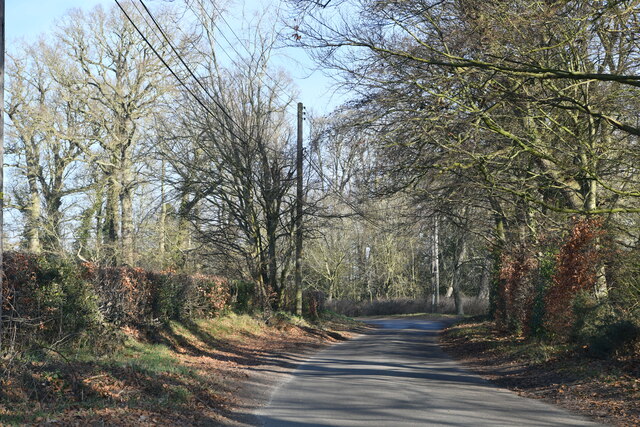
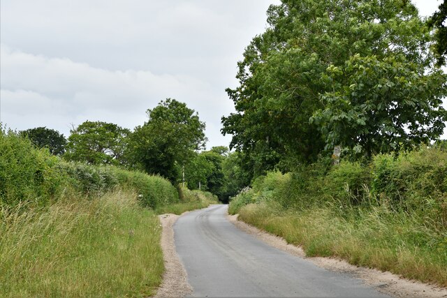
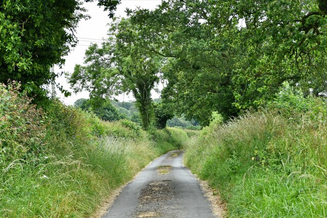
The woodland is intersected by several walking trails, allowing visitors to explore its beauty at their own pace. These trails meander through the woods, offering glimpses of the enchanting scenery and providing opportunities for birdwatching and wildlife spotting. It is not uncommon to encounter species such as deer, squirrels, and various bird species, including woodpeckers and owls.
Great Belt, Norfolk (Wood, Forest) is a popular destination for nature lovers, hikers, and photographers. Its peaceful ambiance and untouched beauty make it an ideal place for people to escape the hustle and bustle of everyday life and immerse themselves in the tranquility of nature.
Overall, Great Belt, Norfolk (Wood, Forest) is a captivating woodland area that showcases the natural splendor of Norfolk. With its diverse flora and fauna, well-maintained trails, and serene atmosphere, it offers a delightful experience for anyone seeking a peaceful retreat in nature.
If you have any feedback on the listing, please let us know in the comments section below.
Great Belt Images
Images are sourced within 2km of 52.807454/1.131277 or Grid Reference TG1127. Thanks to Geograph Open Source API. All images are credited.
Great Belt is located at Grid Ref: TG1127 (Lat: 52.807454, Lng: 1.131277)
Administrative County: Norfolk
District: Broadland
Police Authority: Norfolk
What 3 Words
///swatted.snippets.potions. Near Reepham, Norfolk
Nearby Locations
Related Wikis

Heydon, Norfolk
Heydon is a village and civil parish in Norfolk, England. It is located 3 miles (4.8 km) north of the market town of Reepham. The village can be accessed...

Corpusty and Saxthorpe railway station
Corpusty and Saxthorpe railway station was a railway station in the North Norfolk village of Corpusty. It was opened by the Eastern & Midlands Railway...

Wood Dalling
Wood Dalling is a village and civil parish in Norfolk, England. It is located 8 miles (13 km) south of Holt and 3 miles (4.8 km) north of Reepham, the...

Oulton, Norfolk
Oulton is a village and civil parish in Norfolk, England. Nearby towns are Reepham and Aylsham. The parish covers an area of 10.58 km2 (4.08 sq mi) and...

Saxthorpe
Saxthorpe is a village in Norfolk, England. The village is 12 miles (19 km) west south west of Cromer and 16.3 miles (26.2 km) north north west of Norwich...

Salle, Norfolk
Salle ( SAWL) is a small village and civil parish in the Broadland district, in the county of Norfolk, England. 1.5 miles (2.4 km) to the south is the...

Bluestone railway station
Bluestone railway station was a station in Norfolk, England. It was on the Midland and Great Northern Joint Railway between Corpusty and Aylsham North...

Salle Park
Salle Park is a country house in Norfolk, England, near the village of Salle and about 10 miles (16 km) north-west of Norwich. The house is a Grade II...
Nearby Amenities
Located within 500m of 52.807454,1.131277Have you been to Great Belt?
Leave your review of Great Belt below (or comments, questions and feedback).