Beacon Hill Wood

Wood, Forest in Suffolk Mid Suffolk

England

Beacon Hill Wood

Fields of ripe barley near Hanging Grove Looking north-east along the bridleway that leads past Hanging Grove towards Coddenham Row.
Fields of ripe barley near Hanging Grove Credit: Simon Mortimer

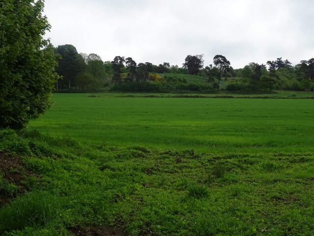
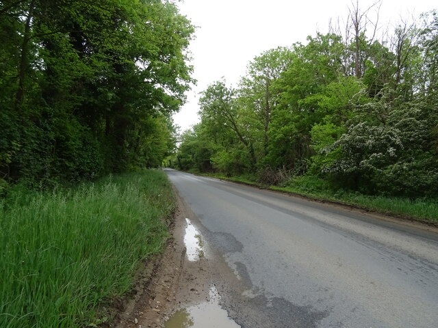
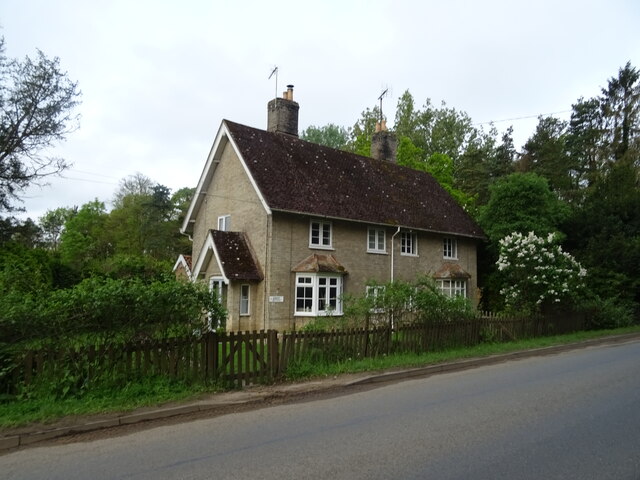
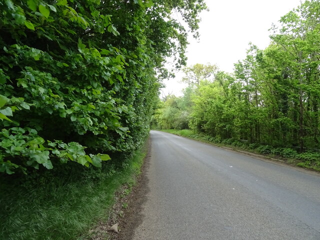
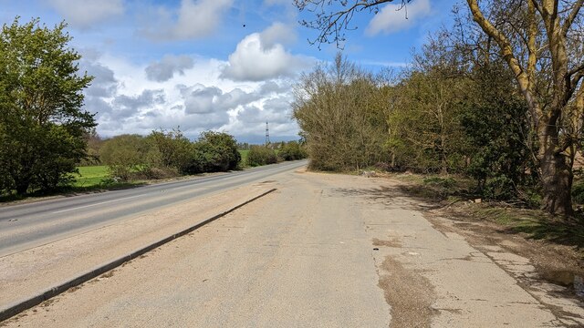
Beacon Hill Wood is a picturesque woodland area located in Suffolk, England. Covering an area of approximately 100 acres, it is a designated Site of Special Scientific Interest (SSSI) and is managed by the Forestry Commission. The wood is situated near the village of Dalham and is easily accessible by road.

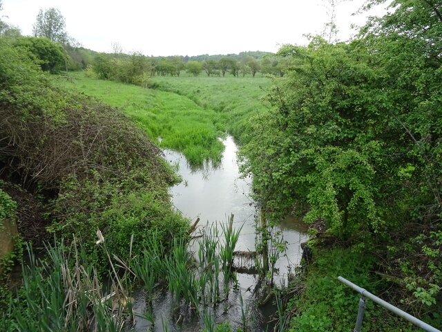
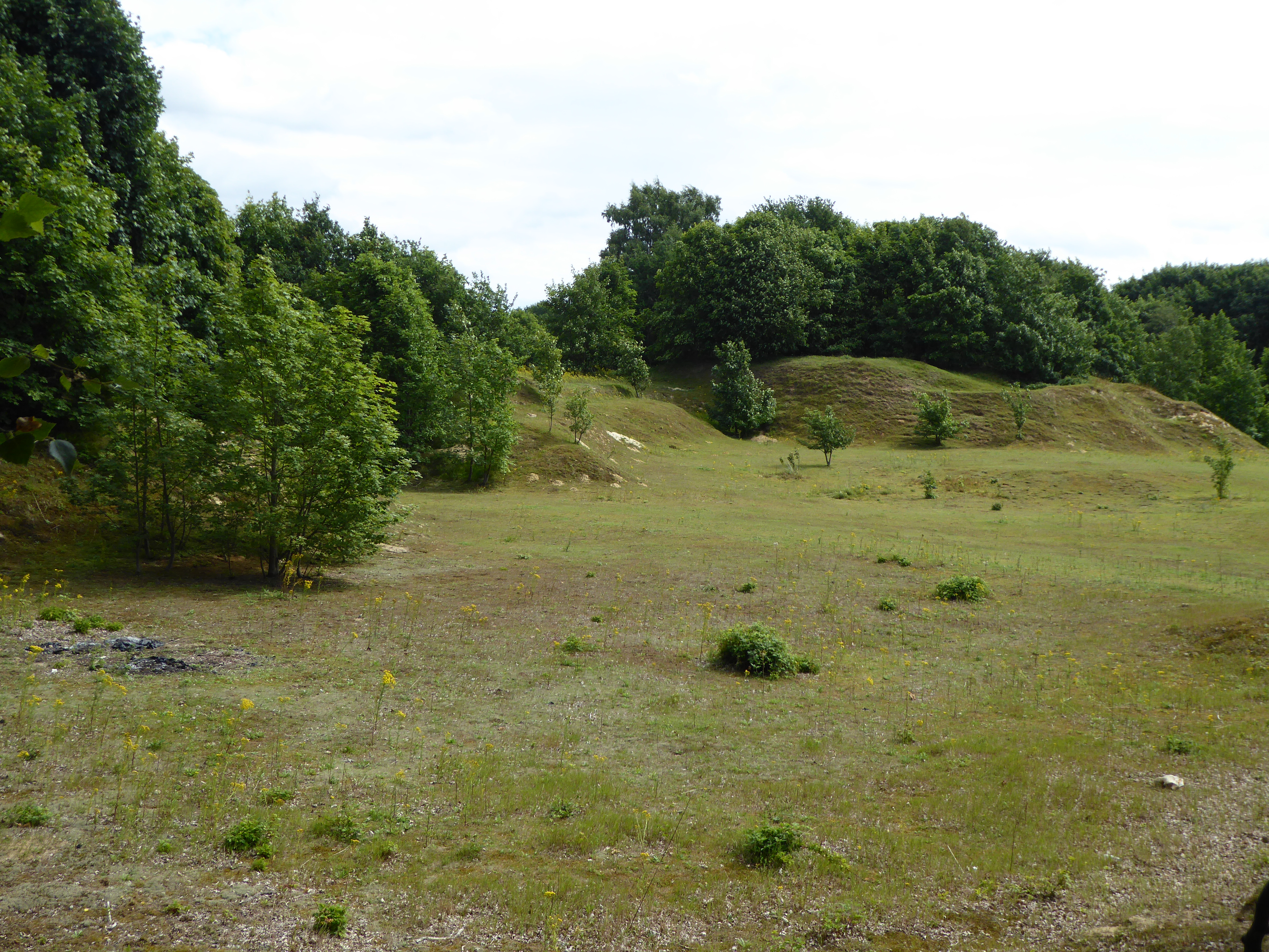
The woodland is primarily composed of a mix of broadleaf trees, including oak, birch, and beech, creating a diverse and vibrant ecosystem. The dense canopy allows limited sunlight to reach the forest floor, resulting in a rich understory of ferns, wildflowers, and mosses. This provides a habitat for a variety of wildlife species, including deer, badgers, foxes, and a wide range of bird species.

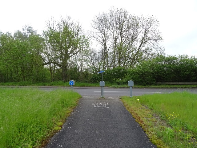
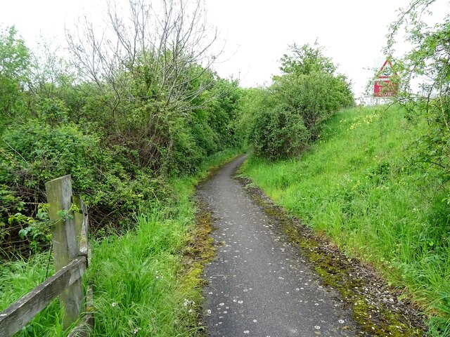
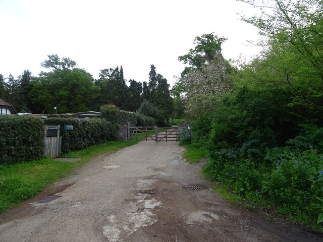
Beacon Hill Wood is renowned for its tranquil atmosphere and stunning natural beauty. It offers visitors several well-maintained walking trails, which allow them to explore the wood at their own pace. These trails wind through the forest, passing by ancient trees, small streams, and hidden clearings. There are also several designated picnic areas, providing an opportunity for visitors to relax and enjoy the peaceful surroundings.

In addition to its natural charm, Beacon Hill Wood also has a rich historical significance. The wood is home to the remains of an Iron Age fort, with remnants of ancient earthworks still visible today. This further adds to the allure of the wood, attracting both nature enthusiasts and history buffs alike.

Overall, Beacon Hill Wood in Suffolk is a haven for those seeking solace in nature. With its diverse flora and fauna, well-maintained trails, and historical significance, it offers a truly enchanting experience for all who visit.

If you have any feedback on the listing, please let us know in the comments section below.

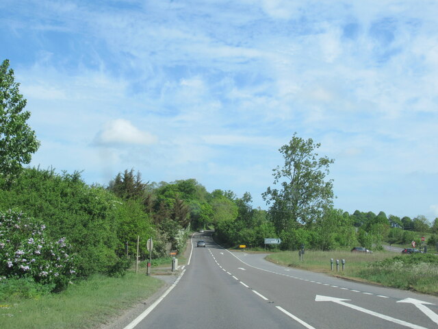
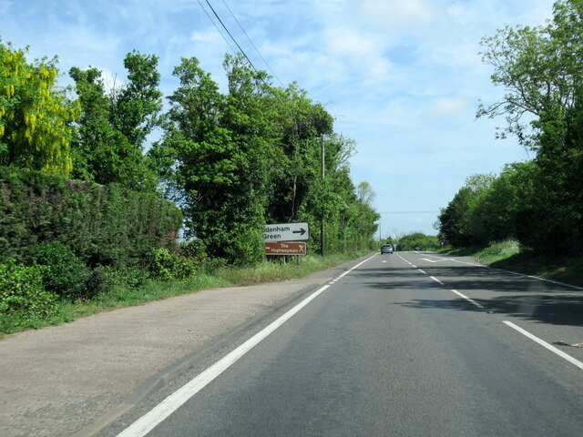
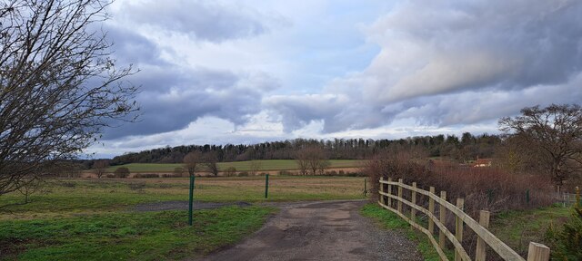
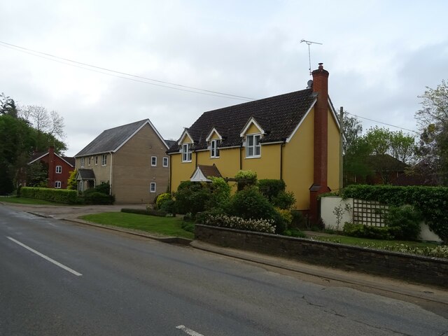
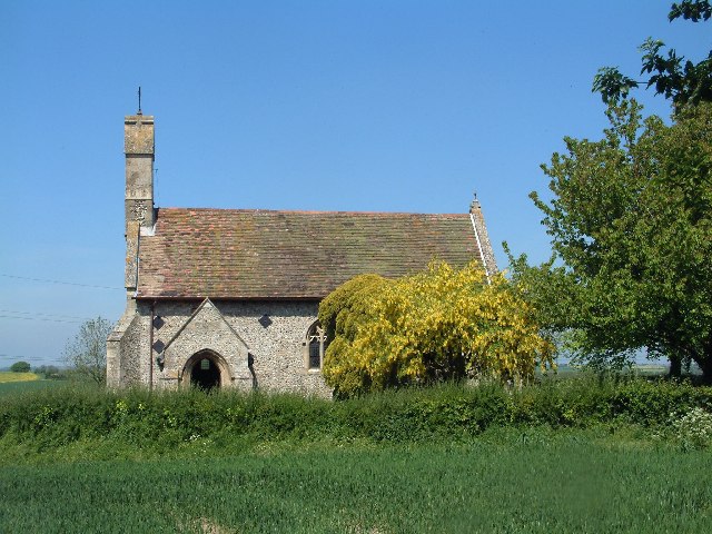
Beacon Hill Wood Images

Images are sourced within 2km of 52.145689/1.0846241 or Grid Reference TM1154. Thanks to Geograph Open Source API. All images are credited.

Fields of ripe barley near Hanging Grove Looking north-east along the bridleway that leads past Hanging Grove towards Coddenham Row.
Fields of ripe barley near Hanging Grove
Looking north-east along the bridleway that leads past Hanging Grove towards Coddenham Row.
Beacon Hill services Looking from the petrol station back along the entrance road; the motel is among trees to the left.
Beacon Hill services
Looking from the petrol station back along the entrance road; the motel is among trees to the left.
Beacon Hill services Looking from the petrol station back towards a small restaurant (the logos of Burger King and Greggs can just be made out) tucked inside the access road loop.
Beacon Hill services
Looking from the petrol station back towards a small restaurant (the logos of Burger King and Greggs can just be made out) tucked inside the access road loop.
A14 West approaching junction 51
A140 north at turning for B1078
A140 north at turning for Coddenham Green
Valley west of Coddenham Taken from the end of the drive to Vicarage Farm.
Valley west of Coddenham
Taken from the end of the drive to Vicarage Farm.
National Cycle Route 51 Crossing the busy A140.
National Cycle Route 51
Crossing the busy A140.
Tributary of the River Gipping
National Cycle Route 51 Beside the A140 towards Ipswich.
National Cycle Route 51
Beside the A140 towards Ipswich.
Gatehouse to Shrubland Park
Farmland, Shrubland Park
National Cycle Route 51 towards Ipswich
Nursery Cottages Beside National Cycle Route 51.
Nursery Cottages
Beside National Cycle Route 51.
National Cycle Route 51 towards Ipswich
Houses on Norwich Road
Track (footpath) into Shrubland Park Off National Cycle Route.
Track (footpath) into Shrubland Park
Off National Cycle Route.
Lay-by on B1113 South of Needham Market
Show me another place!

Beacon Hill Wood is located at Grid Ref: TM1154 (Lat: 52.145689, Lng: 1.0846241)

Administrative County: Suffolk

District: Mid Suffolk

Police Authority: Suffolk

What 3 Words

///pursuing.magazines.repeat. Near Needham Market, Suffolk

Related Wikis

Darmsden

Darmsden is a hamlet and civil parish in the Mid Suffolk district of Suffolk, England. Located near the A14 road around 2 kilometres (1 mi) south of the...

Bosmere and Claydon Hundred

Bosmere and Claydon was a hundred of Suffolk, consisting of 31,850 acres (128.9 km2).The hundred is a fertile and picturesque district varying from 8 to...

Bosmere and Claydon Rural District

Bosmere and Claydon Rural District was a rural district within the administrative county of East Suffolk between 1894 and 1934. It was created out of the...

Needham Lake

Needham Lake is a 9.9 hectare Local Nature Reserve in Needham Market in Suffolk. It is owned and managed by Mid Suffolk District Council. It is a Regionally...

Creeting St Mary Pits

Creeting St Mary Pits is a 5.4-hectare (13-acre) geological Site of Special Scientific Interest south Creeting St Mary in Suffolk, England. It is a Geological...

Baylham

Baylham is a village and civil parish, 1,349 acres size, in the Mid Suffolk district of Suffolk, England, about 7 miles (11 km) northwest of Ipswich and...

Needham Market railway station

Needham Market railway station is on the Great Eastern Main Line (GEML) in the East of England, serving the town of Needham Market, Suffolk. It is 77 miles...

Shrubland Hall Anglo-Saxon cemetery

Shrubland Hall Anglo-Saxon cemetery is a 7th-century Anglo-Saxon burial site discovered at Shrubland Hall Quarry near Coddenham, Suffolk. The cemetery...

Nearby Amenities

Located within 500m of 52.145689,1.0846241
Motorway Junction
Beacon Hill Interchange
Ref: 51
Lat/Long: 52.1419874/1.0830785
Barrier: bollard
Lat/Long: 52.1485587/1.0837585
Fuel
Shell Needham Market
Addr City: Ipswich
Addr Parentstreet: Norwich Road
Addr Place: Beacon Hill Service Station
Addr Postcode: IP6 8LP
Addr Village: Coddenham
Brand: Shell
Brand Wikidata: Q110716465
Compressed Air: yes
Fhrs Id: 1404291
Fuel GTL Diesel: yes
Fuel Diesel: yes
Fuel Lpg: yes
Fuel Octane 95: yes
Fuel Octane 98: yes
Opening Hours: 24/7
Phone: +44 1449 722768
Ref Navads: NVDS353_12038427
Source Addr: FHRS Open Data
Website: https://find.shell.com/gb/fuel/12038427-shell-needham-market
Lat/Long: 52.1475948/1.0799472
Bus Stop
Beacon Hill Services
Bus: yes
Naptan AtcoCode: 390040528
Naptan Bearing: W
Naptan CommonName: Beacon Hill Services
Naptan Indicator: o/s
Naptan Landmark: Beacon Hill Services
Naptan NaptanCode: sufgajam
Naptan Street: A140
Naptan Verified: no
Public Transport: platform
Source: naptan_import
Lat/Long: 52.1471369/1.0799853
Bus Stop
Pipps Ford
Bus: yes
Naptan AtcoCode: 390040529
Naptan Bearing: S
Naptan BusStopType: CUS
Naptan CommonName: Pipps Ford
Naptan Indicator: opp
Naptan Landmark: Pipps Ford
Naptan NaptanCode: sufgajap
Naptan Street: Old Barham Hill
Naptan Verified: no
Public Transport: platform
Source: naptan_import
Lat/Long: 52.1461649/1.0824181
Bus Stop
Pipps Ford
Bus: yes
Naptan AtcoCode: 390040817
Naptan Bearing: NW
Naptan BusStopType: CUS
Naptan CommonName: Pipps Ford
Naptan Indicator: adj
Naptan Landmark: School Services Only
Naptan NaptanCode: sufjgamw
Naptan Street: A14
Naptan Verified: no
Public Transport: platform
Source: naptan_import
Lat/Long: 52.1456263/1.0792816
Greggs
Addr City: Ipswich
Addr Parentstreet: Norwich Road
Addr Place: Beacon Hill Service Station
Addr Postcode: IP6 8LP
Addr Village: Coddenham
Brand: Greggs
Brand Wikidata: Q3403981
Brand Wikipedia: en:Greggs
Contact Website: https://www.greggs.co.uk/shop-finder?shop-code=5110
Fhrs Id: 1405050
Opening Hours: Mo-Fr 06:00-18:30; Sa 06:00-18:00; Su 06:30-17:30
Shop: bakery
Source Addr: FHRS Open Data
Lat/Long: 52.1476864/1.0811105
Atm
Cash In: no
Check Date: 2024-05-13
Operator: Cash Zone
Lat/Long: 52.1476069/1.0797817
Travelodge Ipswich Beacon Hill
Brand: Travelodge
Brand Wikidata: Q9361374
Brand Wikipedia: en:Travelodge UK
Internet Access Fee: no
Tourism: hotel
Website: https://www.travelodge.co.uk/hotels/37/Ipswich-Beacon-Hill-hotel
Lat/Long: 52.1482915/1.0801443
Car Wash
Automated: no
Self Service: yes
Lat/Long: 52.147383/1.0800151
Fast Food
Burger King
Addr Parentstreet: Norwich Road
Addr Place: Beacon Hill Service Station
Addr Postcode: IP6 8LP
Addr Village: Coddenham
Brand: Burger King
Brand Wikidata: Q177054
Brand Wikipedia: en:Burger King
Contact Website: https://locations.burgerking.co.uk/beacon-hill/beacon-hill
Cuisine: burger
Fhrs Id: 1404684
Source Addr: FHRS Open Data
Takeaway: yes
Lat/Long: 52.1477448/1.0810173
Give Way
Lat/Long: 52.1474639/1.0818833
Maxspeed: 50 mph
Traffic Sign: maxspeed
Traffic Sign Direction: forward
Lat/Long: 52.1474894/1.0821317
Man Made: mast
Tower Type: communication
Lat/Long: 52.1458426/1.0811153
The data included in this document is from www.openstreetmap.org. The data is made available under ODbL.

Have you been to Beacon Hill Wood?

Leave your review of Beacon Hill Wood below (or comments, questions and feedback).