Langdane Wood

Wood, Forest in Kent Canterbury

England

Langdane Wood

Footpath heading towards Shalmsford Street
Footpath heading towards Shalmsford Street Credit: Chris Heaton

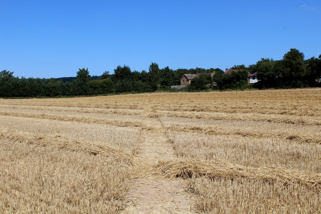
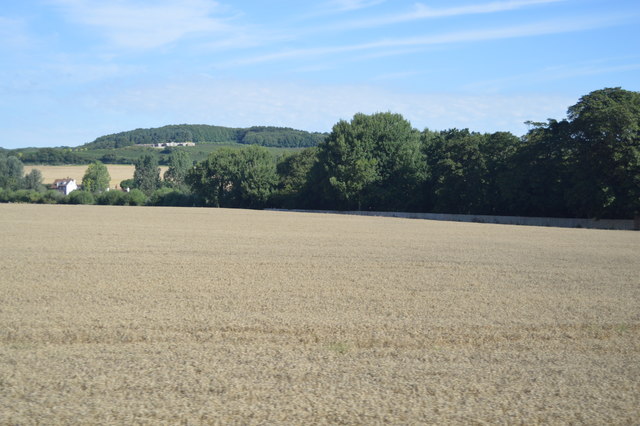
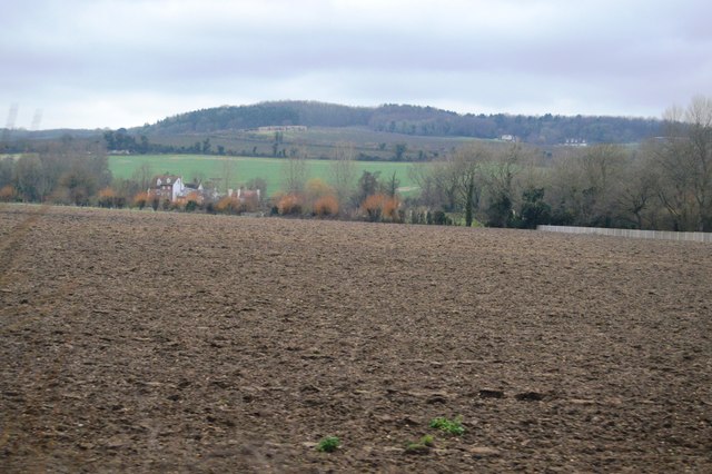
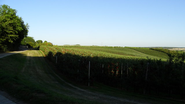
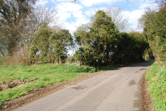
Langdane Wood is a picturesque forest located in the county of Kent, England. It spans approximately 200 acres and is situated near the village of Langdane, between the towns of Ashford and Folkestone. The woodland is a popular destination for nature enthusiasts and offers a range of recreational activities.

The forest is characterized by its diverse ecosystem, consisting of a mixture of broadleaf and coniferous trees. Ancient oaks, beech, and birch trees dominate the landscape, providing a habitat for a variety of wildlife, including deer, foxes, badgers, and numerous bird species. The wood is also home to several rare and protected species of flora and fauna.

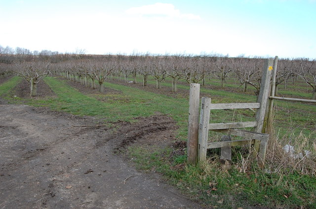
Langdane Wood is crisscrossed by a network of well-maintained footpaths and trails, which allow visitors to explore the forest at their own pace. These paths provide access to scenic viewpoints, peaceful clearings, and hidden glades, offering opportunities for tranquility and solitude amidst nature. The wood is particularly renowned for its bluebell displays in the spring, attracting visitors from far and wide.

The forest is managed by the local authorities, who ensure the preservation and conservation of the wood's natural beauty. This includes regular maintenance of the trails, monitoring of wildlife populations, and the implementation of sustainable forestry practices.

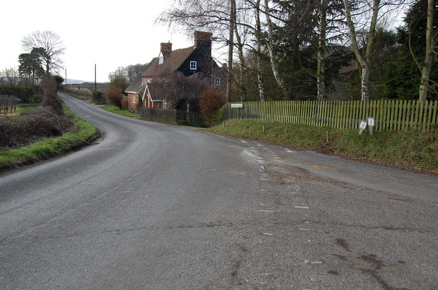
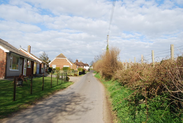
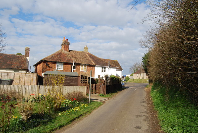
Langdane Wood is easily accessible by car, with ample parking available at the entrance. The forest also benefits from nearby amenities, such as picnic areas, restrooms, and information boards providing details about the flora and fauna found within the wood.

Overall, Langdane Wood is a cherished natural gem, offering visitors a chance to immerse themselves in the tranquil beauty of Kent's woodlands.

If you have any feedback on the listing, please let us know in the comments section below.

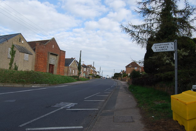
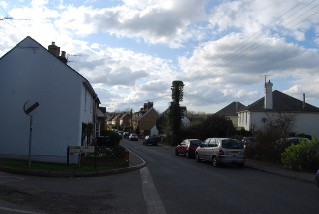
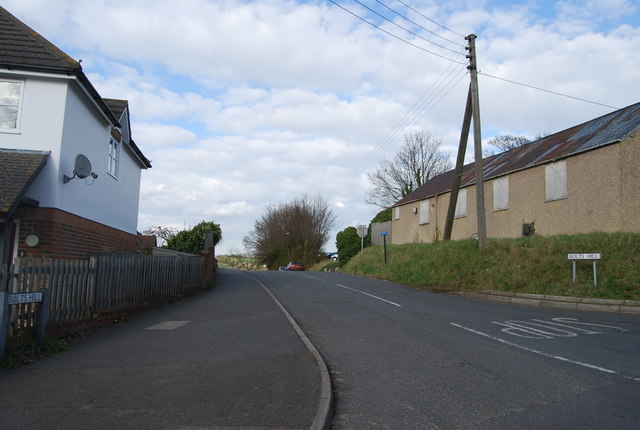
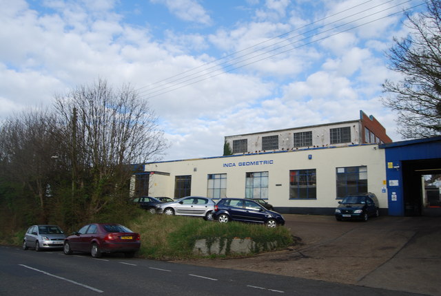
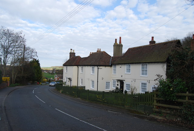
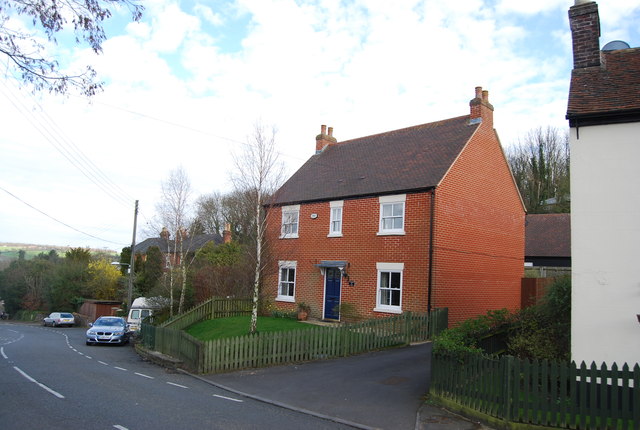
Langdane Wood Images

Images are sourced within 2km of 51.262405/1.0251429 or Grid Reference TR1155. Thanks to Geograph Open Source API. All images are credited.

Footpath heading towards Shalmsford Street
Farmland near Shalmsford Street
New houses on Shalmsford Street These were completed around late 2014
New houses on Shalmsford Street
These were completed around late 2014
Shalmsford Street
Shalmsford Street
Field, Shalmsford Street
Apple orchard above Dunning Shaw, Stour Valley, Kent
Stile and Orchards, near Chartham Hatch
Junction of Hatch Lane and Primrose Hill
Stour Valley Walk
Stour Valley Walk
Bobbin Lodge Hill
Bobbin Lodge Hill
Bobbin Lodge Hill
Bobbin Lodge Hill
Salvation Army Hall, Shalmsford Street The Salvation Army is a Christian charitable organisation organised in a quasi-military structure. The organisation reports worldwide membership of over 1.5 million, consisting of soldiers, officers and adherents known as Salvationists. Its founders William and Catherine Booth sought to bring salvation to the poor, destitute and hungry by meeting both their "physical and spiritual needs".
The Army was founded in 1865 in London by one-time Methodist minister William Booth.
Salvation Army Hall, Shalmsford Street
The Salvation Army is a Christian charitable organisation organised in a quasi-military structure. The organisation reports worldwide membership of over 1.5 million, consisting of soldiers, officers and adherents known as Salvationists. Its founders William and Catherine Booth sought to bring salvation to the poor, destitute and hungry by meeting both their "physical and spiritual needs". The Army was founded in 1865 in London by one-time Methodist minister William Booth.
Shalmsford Street
Shalmsford Street
Shalmsford Street
Shalmsford Street
Bolts Hill
Bolts Hill
Inca Geometric
Inca Geometric
Houses, Bolts Hill
Houses, Bolts Hill
A new house, Bolts Hill
Show me another place!

Langdane Wood is located at Grid Ref: TR1155 (Lat: 51.262405, Lng: 1.0251429)

Administrative County: Kent

District: Canterbury

Police Authority: Kent

What 3 Words

///ounce.honey.united. Near Chartham, Kent

Nearby Locations

Langdane Wood Horton

Related Wikis

Chartham railway station

Chartham railway station is in Chartham, Kent, on the Ashford to Ramsgate line. The station, and all trains serving it, is operated by Southeastern....

Church of St Mary, Chartham

St Mary's Church is in the village of Chartham, Kent, England. It is an active Anglican parish church in the Diocese of Canterbury. Constructed between...

Chartham

Chartham is a village and civil parish in the Canterbury district of Kent, England. It is situated on the Ashford side of the city, and is in the North...

No Man's Orchard

No Man's Orchard is a 4.1-hectare (10-acre) Local Nature Reserve west of Canterbury in Kent. It is owned by Chartham and Harbledown Parish Councils and...

Larkey Valley Wood

Larkey Valley Wood is a 44.1-hectare (109-acre) biological Site of Special Scientific Interest south of Canterbury in Kent. It is also a Local Nature Reserve...

Bigbury Camp

Bigbury Camp (formerly Bigberry Camp) is a univallate hill fort in the parish of Harbledown and Rough Common in Kent in England. The fort is a Scheduled...

St Augustine's Hospital, Chartham

St Augustine's Hospital was a psychiatric hospital in Chartham, Kent, England. It was founded as the second, or East, Kent County Asylum in 1872. In 1948...

Thanington

Thanington is a civil parish on the west edge of Canterbury, Kent, United Kingdom. It extends to the south-west of A2 from Wincheap to the Milton Bridge...

Nearby Amenities

Located within 500m of 51.262405,1.0251429
Post Box
Collection Times: Mo-Fr 09:00; Sa 07:00
Operator: Royal Mail
Operator Wikidata: Q638098
Post Box Mounting: wooden_post
Post Box Type: lamp
Postal Code: CT4
Ref: CT4 238
Royal Cypher: EIIR
Source: survey
Lat/Long: 51.2623383/1.0322257
Railway: crossing
Lat/Long: 51.2631503/1.0219989
Barrier: stile
Stile: stepover
Lat/Long: 51.2630068/1.0222519
Man Made: monitoring_station
Monitoring Traffic: induction_loop
Vehicle: yes
Lat/Long: 51.2622426/1.0320658
Source: Bing
Lat/Long: 51.259376/1.0242891
Source: Bing
Lat/Long: 51.2594016/1.0244174
Source: Bing
Lat/Long: 51.2594032/1.0244651
Source: Bing
Lat/Long: 51.2594059/1.0244765
Source: Bing
Lat/Long: 51.259426/1.0245618
Source: Bing
Lat/Long: 51.2594719/1.0246064
Source: Bing
Lat/Long: 51.259477/1.0242376
Source: Bing
Lat/Long: 51.2594957/1.0244095
Source: Bing
Lat/Long: 51.2595078/1.0247542
Source: Bing
Lat/Long: 51.2595026/1.0243659
Source: Bing
Lat/Long: 51.2595041/1.024445
Source: Bing
Lat/Long: 51.2595544/1.0244148
Source: Bing
Lat/Long: 51.2595541/1.0245554
Source: Bing
Lat/Long: 51.2595688/1.024476
Source: Bing
Lat/Long: 51.259563/1.0247199
Railway: crossing
Lat/Long: 51.2631197/1.0220269
Communication Microwave: no
Communication Mobile Phone: yes
Fixme: Double-check exact positon. Remembered approximately.
Man Made: mast
Tower Type: communication
Lat/Long: 51.2610974/1.0315177
Barrier: stile
Stile: stepover
Lat/Long: 51.2631404/1.0216705
Generator Method: photovoltaic
Generator Orientation: 148
Generator Output Electricity: yes
Generator Solar Modules: 5
Generator Source: solar
Generator Type: solar_photovoltaic_panel
Location: roof
Power: generator
Lat/Long: 51.2603967/1.0270648
Generator Method: photovoltaic
Generator Orientation: 129
Generator Output Electricity: yes
Generator Solar Modules: 4
Generator Source: solar
Generator Type: solar_photovoltaic_panel
Location: roof
Power: generator
Lat/Long: 51.2618964/1.03188
Generator Method: photovoltaic
Generator Orientation: 309
Generator Output Electricity: yes
Generator Solar Modules: 4
Generator Source: solar
Generator Type: solar_photovoltaic_panel
Location: roof
Power: generator
Lat/Long: 51.261927/1.0318123
Entrance: exit
Lat/Long: 51.2608172/1.0300991
Entrance: yes
Lat/Long: 51.2605879/1.0304129
The data included in this document is from www.openstreetmap.org. The data is made available under ODbL.

Have you been to Langdane Wood?

Leave your review of Langdane Wood below (or comments, questions and feedback).