Long Plantation

Wood, Forest in Essex Tendring

England

Long Plantation

View across the Stour estuary from The Walls at dusk Looking north-northwest.
View across the Stour estuary from The Walls at dusk Credit: Robert Lamb

Long Plantation is a picturesque village located in the county of Essex, England. Nestled within the heart of the county, the village is surrounded by lush woodlands and enchanting forests, creating a serene and idyllic setting.

The village takes its name from the vast plantation of tall trees that stretch across its landscape. These majestic trees, predominantly oak and beech, add to the natural beauty of the area and provide a habitat for a diverse range of flora and fauna.

Long Plantation boasts a close-knit community, with a population of approximately 500 residents. The village exudes a warm and welcoming atmosphere, with friendly locals who take pride in their surroundings. The traditional architecture of the houses, built predominantly with locally sourced materials, adds to the charm of the village.

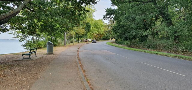
The village itself offers various amenities for its residents, including a primary school, a community hall, and a small convenience store. Additionally, the village has several well-maintained footpaths and trails, making it an ideal destination for nature lovers and walkers.

Long Plantation benefits from its proximity to the nearby towns of Chelmsford and Colchester, which provide access to a wider range of services and facilities. The village is also well-connected to major transport links, with easy access to the A12 motorway and regular bus services.

Overall, Long Plantation is a peaceful and picturesque village, offering a tranquil retreat from the hustle and bustle of city life. Its natural beauty, strong community spirit, and convenient location make it an ideal place to call home.

If you have any feedback on the listing, please let us know in the comments section below.

Long Plantation Images

Images are sourced within 2km of 51.940059/1.0710854 or Grid Reference TM1131. Thanks to Geograph Open Source API. All images are credited.

View across the Stour estuary from The Walls at dusk Looking north-northwest.
View across the Stour estuary from The Walls at dusk
Looking north-northwest.
View across the River Stour estuary from The Walls Looking north-northwest.
View across the River Stour estuary from The Walls
Looking north-northwest.
View of St. Mary & St. Michael's Church in Mistley from The Walls Looking south-southeast.
View of St. Mary & St. Michael's Church in Mistley from The Walls
Looking south-southeast.
View of Mistley Towers from the village square Looking north-northeast.
View of Mistley Towers from the village square
Looking north-northeast.
View of the EDME Malt Extract chimney towering above a house in Mistley from the village square Looking south-southeast.
View of the EDME Malt Extract chimney towering above a house in Mistley from the village square
Looking south-southeast.
View of the fingerpost sign on a bench in the village square Looks like a vehicle has crashed into the traditional fingerpost sign (as well as a nearby lamp post) on Mistley's village square and, rather ingeniously, the sign has been maintained by someone placing it on the nearby bench. Looking south-southwest.
View of the fingerpost sign on a bench in the village square
Looks like a vehicle has crashed into the traditional fingerpost sign (as well as a nearby lamp post) on Mistley's village square and, rather ingeniously, the sign has been maintained by someone placing it on the nearby bench. Looking south-southwest.
Mistley, St Mary & St Michael
Old Milestone, B1352, High Street, Mistley The milestone was originally located on the High Street, Mistley at TM 1181 3178. It was later moved against the wall of a building on Mistley Quay, see <a title="https://www.geograph.org.uk/photo/6045295" href="https://www.geograph.org.uk/photo/6045295">Link</a> , then temporarily put in to store during property development, and has now been re-installed in the Swan Basin, High Street. Parish of Mistley (Tendring District), Carved stone post, originally erected in the 19th century. A replacement for the cast iron post that would later have been fitted to the milestone is located close by, see <a title="https://www.geograph.org.uk/photo/7148738" href="https://www.geograph.org.uk/photo/7148738">Link</a>

Inscription reads:-
LXI / Colchester / 10 / Mistley  : : (Harwich / 11)

Milestone Society National ID: EX_COHH61
Old Milestone, B1352, High Street, Mistley
The milestone was originally located on the High Street, Mistley at TM 1181 3178. It was later moved against the wall of a building on Mistley Quay, see Link , then temporarily put in to store during property development, and has now been re-installed in the Swan Basin, High Street. Parish of Mistley (Tendring District), Carved stone post, originally erected in the 19th century. A replacement for the cast iron post that would later have been fitted to the milestone is located close by, see Link Inscription reads:- LXI / Colchester / 10 / Mistley : : (Harwich / 11) Milestone Society National ID: EX_COHH61
Replacement Milestone, B1352, High St, Mistley, Swan Basin This milestone is located in the Swan Basin, against the far wall to the right of the original stone milestone EX_COHH61, <a title="https://www.geograph.org.uk/photo/7148662" href="https://www.geograph.org.uk/photo/7148662">Link</a>. Parish of Mistley (Tendring District). It is a replacement for the original cast iron post, Bendall iron casting design, erected by the Essex Second District turnpike trust in the 19th century. Cast iron posts on this Colchester to Harwich route were made to be bolted on to the original stone milestones.

Inscription reads:-
HARWICH / 11  : : COLCHESTER / 10  : :  MISTLEY / TO / LONDON / 61  :  : BENDALL / IRON AND BRASS / FOUNDERS / PLOUGH AND MACHINE / MAKER / LAWFORD / ESSEX /1834

Milestone Society National ID: EX_COHH61AR
Replacement Milestone, B1352, High St, Mistley, Swan Basin
This milestone is located in the Swan Basin, against the far wall to the right of the original stone milestone EX_COHH61, Link. Parish of Mistley (Tendring District). It is a replacement for the original cast iron post, Bendall iron casting design, erected by the Essex Second District turnpike trust in the 19th century. Cast iron posts on this Colchester to Harwich route were made to be bolted on to the original stone milestones. Inscription reads:- HARWICH / 11 : : COLCHESTER / 10 : : MISTLEY / TO / LONDON / 61 : : BENDALL / IRON AND BRASS / FOUNDERS / PLOUGH AND MACHINE / MAKER / LAWFORD / ESSEX /1834 Milestone Society National ID: EX_COHH61AR
The Walls, Manningtree
Mistley war memorial and Mistley Tower
High Street, Manningtree
Farmland by the Stour Estuary
Saltmarshes The River Stour is in East Anglia. It is 47 miles long and forms most of the county boundary between Suffolk to the north, and Essex to the south. It rises in eastern Cambridgeshire, passes to the east of Haverhill, through Cavendish, Bures, Sudbury, Nayland, Stratford St Mary, Dedham and flows through the Dedham Vale Area of Outstanding Natural Beauty. It becomes tidal just before Manningtree in Essex and joins the North Sea at Harwich.
Saltmarshes
The River Stour is in East Anglia. It is 47 miles long and forms most of the county boundary between Suffolk to the north, and Essex to the south. It rises in eastern Cambridgeshire, passes to the east of Haverhill, through Cavendish, Bures, Sudbury, Nayland, Stratford St Mary, Dedham and flows through the Dedham Vale Area of Outstanding Natural Beauty. It becomes tidal just before Manningtree in Essex and joins the North Sea at Harwich.
Cattawade Creek The River Stour is in East Anglia. It is 47 miles long and forms most of the county boundary between Suffolk to the north, and Essex to the south. It rises in eastern Cambridgeshire, passes to the east of Haverhill, through Cavendish, Bures, Sudbury, Nayland, Stratford St Mary, Dedham and flows through the Dedham Vale Area of Outstanding Natural Beauty. It becomes tidal just before Manningtree in Essex and joins the North Sea at Harwich.
Cattawade Creek
The River Stour is in East Anglia. It is 47 miles long and forms most of the county boundary between Suffolk to the north, and Essex to the south. It rises in eastern Cambridgeshire, passes to the east of Haverhill, through Cavendish, Bures, Sudbury, Nayland, Stratford St Mary, Dedham and flows through the Dedham Vale Area of Outstanding Natural Beauty. It becomes tidal just before Manningtree in Essex and joins the North Sea at Harwich.
Manningtree Channel The River Stour is in East Anglia. It is 47 miles long and forms most of the county boundary between Suffolk to the north, and Essex to the south. It rises in eastern Cambridgeshire, passes to the east of Haverhill, through Cavendish, Bures, Sudbury, Nayland, Stratford St Mary, Dedham and flows through the Dedham Vale Area of Outstanding Natural Beauty. It becomes tidal just before Manningtree in Essex and joins the North Sea at Harwich.
Manningtree Channel
The River Stour is in East Anglia. It is 47 miles long and forms most of the county boundary between Suffolk to the north, and Essex to the south. It rises in eastern Cambridgeshire, passes to the east of Haverhill, through Cavendish, Bures, Sudbury, Nayland, Stratford St Mary, Dedham and flows through the Dedham Vale Area of Outstanding Natural Beauty. It becomes tidal just before Manningtree in Essex and joins the North Sea at Harwich.
Show me another place!

Long Plantation is located at Grid Ref: TM1131 (Lat: 51.940059, Lng: 1.0710854)

Administrative County: Essex

District: Tendring

Police Authority: Essex

What 3 Words

///snippets.chitchat.social. Near Manningtree, Essex

Related Wikis

Mistley Towers

Mistley Towers are the twin towers of the now demolished Church of St. Mary the Virgin at Mistley in Essex (sometimes known as Mistley Thorn(e) Church...

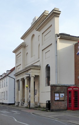
Corn Exchange, Manningtree

The Corn Exchange is a commercial building in the High Street in Manningtree, Essex, England. The structure, which is now used as a public library, is...
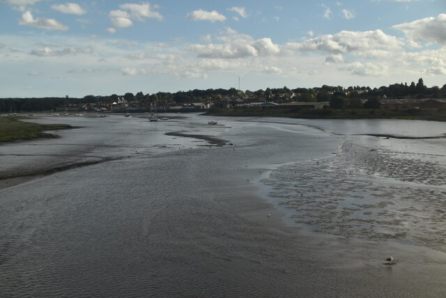
Mistley

Mistley is a village and civil parish in the Tendring district of northeast Essex, England. It is around 11 miles northeast of Colchester and is east of...

Mistley railway station

Mistley railway station is on the Mayflower Line, a branch of the Great Eastern Main Line in the East of England, serving the village of Mistley, Essex...

Manningtree

Manningtree is a town and civil parish in the Tendring district of Essex, England, which lies on the River Stour. It is part of the Suffolk Coast and Heaths...

Manningtree High School

Manningtree High School is a secondary school with academy status in Lawford, Manningtree, Essex, England. The school has specialist status in Science...
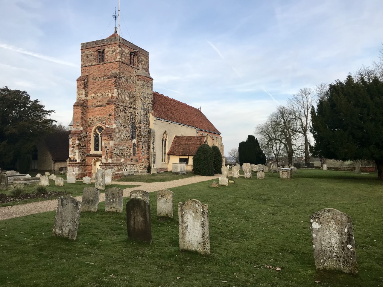
Lawford

Lawford is a large village and civil parish in the Tendring district of northeast Essex, England. It is approximately 6 miles (10 km) northeast from the...

Manningtree railway station

Manningtree railway station is on the Great Eastern Main Line (GEML) in the East of England, serving the town of Manningtree, Essex. It is 59 miles 35...

Nearby Amenities

Located within 500m of 51.940059,1.0710854
Railway: switch
Lat/Long: 51.9430244/1.0759769
Note: this postbox was removed
Note Ref: CO11 51
Lat/Long: 51.9416293/1.0649604
Barrier: kissing_gate
Lat/Long: 51.9406331/1.0780589
Barrier: kissing_gate
Lat/Long: 51.9406759/1.0780644
Waste Basket
Waste: dog_excrement
Lat/Long: 51.9440947/1.0739874
Bus Stop
Oxford Road
Naptan AtcoCode: 1500MANN3
Naptan NaptanCode: esxgdpwt
Naptan Verified: no
Public Transport: platform
Source: naptan_import
Lat/Long: 51.9420528/1.065601
Oxford Road
Naptan AtcoCode: 1500MANN3AA
Naptan BusStopType: CUS
Naptan NaptanCode: esxgptgm
Naptan Verified: no
Public Transport: platform
Source: naptan_import
Lat/Long: 51.9420824/1.0655011
Power: pole
Source: bing
Lat/Long: 51.9367763/1.0681832
Power: pole
Source: bing
Lat/Long: 51.9365148/1.0668124
Location Transition: yes
Power: pole
Source: bing
Lat/Long: 51.9369968/1.0692868
Railway: switch
Lat/Long: 51.9429233/1.0749256
Railway: switch
Lat/Long: 51.9430079/1.0757271
Bus Stop
Erskine Road
Naptan AtcoCode: 1500IM43621A
Naptan NaptanCode: esxjpmja
Naptan Verified: no
Public Transport: platform
Source: naptan
Lat/Long: 51.9438117/1.0689844
Bus Stop
Erskine Road
Naptan AtcoCode: 1500IM43621
Naptan NaptanCode: esxjpmgw
Naptan Verified: no
Public Transport: platform
Source: naptan
Lat/Long: 51.9438588/1.0689003
Entrance: yes
Lat/Long: 51.9406281/1.0639471
Barrier: kissing_gate
Lat/Long: 51.9393947/1.0744233
Barrier: kissing_gate
Lat/Long: 51.9388219/1.0775998
Bench
Lat/Long: 51.943067/1.0688804
Playground: yes
Lat/Long: 51.9432812/1.0688675
Playground: springy
Lat/Long: 51.9431174/1.06915
Playground: yes
Lat/Long: 51.9431232/1.0690373
Playground: yes
Lat/Long: 51.9431204/1.0689169
Playground: swing
Lat/Long: 51.9432054/1.0687258
Playground: yes
Lat/Long: 51.9431902/1.0691239
Playground: yes
Lat/Long: 51.9430423/1.0691643
Playground: yes
Lat/Long: 51.9430385/1.0690435
Playground: yes
Lat/Long: 51.9432944/1.0685009
Bench
Lat/Long: 51.9403531/1.0680203
Waste Basket
Lat/Long: 51.9403622/1.0680297
Bench
Lat/Long: 51.9404366/1.0685098
Waste Basket
Lat/Long: 51.940449/1.0685232
Bench
Lat/Long: 51.9406565/1.0688116
Waste Basket
Lat/Long: 51.9406623/1.0688256
Access: private
Addr Housenumber: 37,39,41,43,45,47
Addr Postcode: CO11 2GR
Addr Street: St. Micheals Road
Entrance: home
Lat/Long: 51.9412149/1.0674508
Access: private
Addr Housenumber: 10,12,14,16,18,20
Addr Postcode: CO11 2GT
Addr Street: Wesley Road
Entrance: home
Lat/Long: 51.941017/1.0680065
Location Transition: yes
Power: pole
Source: bing
Lat/Long: 51.9372583/1.0740778
Location Transition: yes
Power: pole
Source: bing
Lat/Long: 51.9364812/1.0743979
The data included in this document is from www.openstreetmap.org. The data is made available under ODbL.

Have you been to Long Plantation?

Leave your review of Long Plantation below (or comments, questions and feedback).