Laundry Wood
Wood, Forest in Essex Tendring
England
Laundry Wood

Laundry Wood is a picturesque woodland area located in Essex, England. Situated near the town of Wood in the Epping Forest district, it covers an expansive area of lush greenery and is a popular destination for locals and tourists alike. The wood is part of the larger Epping Forest, a designated Site of Special Scientific Interest.
Laundry Wood is characterized by its diverse range of tree species, including oak, beech, and birch. These towering trees provide a dense canopy, creating a serene and tranquil atmosphere within the wood. The forest floor is carpeted with a rich assortment of wildflowers, ferns, and mosses, adding to the natural beauty of the surroundings.
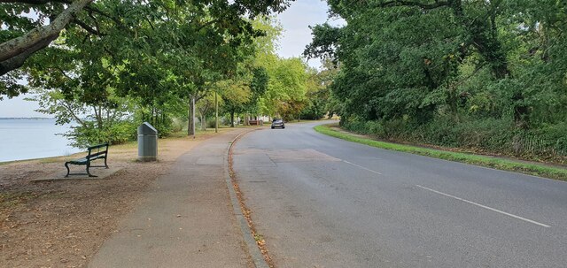
The wood offers a variety of walking trails and paths, allowing visitors to explore its enchanting landscapes. These well-maintained trails range in difficulty, catering to both casual strollers and avid hikers. Along the way, visitors may encounter wildlife such as squirrels, rabbits, and a variety of bird species.
Laundry Wood is also home to a small pond, which adds to its charm and attracts a range of aquatic creatures. This provides a serene spot for visitors to relax and enjoy the tranquil ambiance of the wood.
The wood is easily accessible, with ample parking facilities nearby. It is a popular spot for nature lovers, photographers, and families seeking a peaceful retreat from the bustling city life. Whether it is a leisurely stroll, an opportunity to observe wildlife, or a chance to immerse in the natural beauty, Laundry Wood offers a delightful experience for all who visit.
If you have any feedback on the listing, please let us know in the comments section below.
Laundry Wood Images
Images are sourced within 2km of 51.940011/1.0735996 or Grid Reference TM1131. Thanks to Geograph Open Source API. All images are credited.


Laundry Wood is located at Grid Ref: TM1131 (Lat: 51.940011, Lng: 1.0735996)
Administrative County: Essex
District: Tendring
Police Authority: Essex
What 3 Words
///treetop.stumps.snapped. Near Mistley, Essex
Nearby Locations
Related Wikis

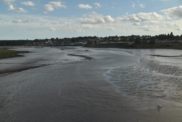
Mistley
Mistley is a village and civil parish in the Tendring district of northeast Essex, England. It is around 11 miles northeast of Colchester and is east of...

Mistley railway station
Mistley railway station is on the Mayflower Line, a branch of the Great Eastern Main Line in the East of England, serving the village of Mistley, Essex...
Mistley Towers
Mistley Towers are the twin towers of the now demolished Church of St. Mary the Virgin at Mistley in Essex (sometimes known as Mistley Thorn(e) Church...

Corn Exchange, Manningtree
The Corn Exchange is a commercial building in the High Street in Manningtree, Essex, England. The structure, which is now used as a public library, is...
Nearby Amenities
Located within 500m of 51.940011,1.0735996Have you been to Laundry Wood?
Leave your review of Laundry Wood below (or comments, questions and feedback).