Horton

Settlement in Kent Canterbury

England

Horton

Farmland near Shalmsford Street
Farmland near Shalmsford Street Credit: N Chadwick

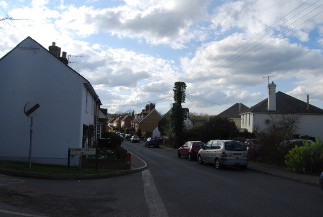
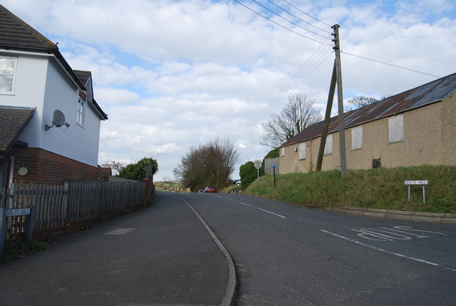
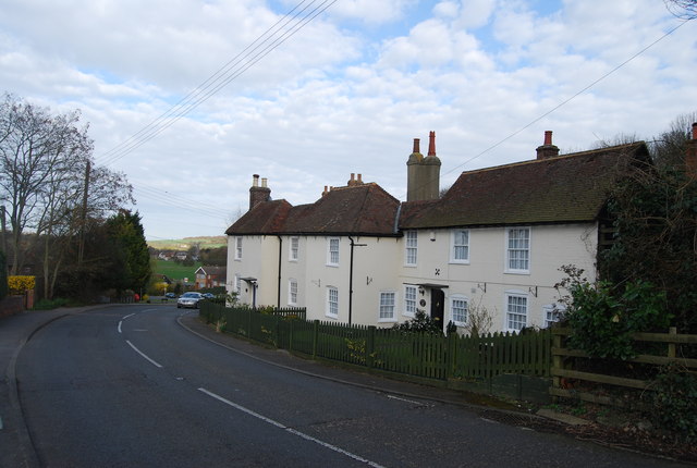
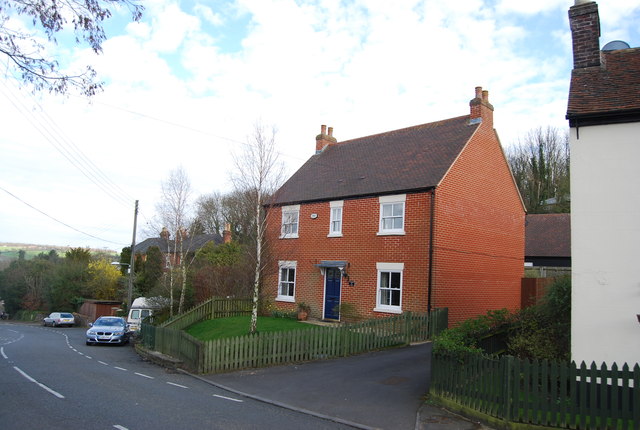
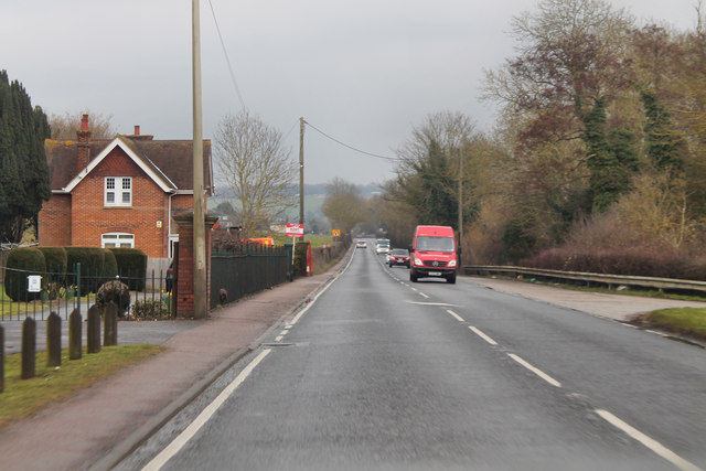
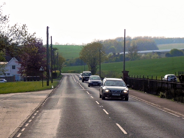
Horton is a small village located in the county of Kent, England. Situated in the southeastern part of the country, Horton is nestled among picturesque countryside landscapes and offers a tranquil and idyllic setting for its residents. The village is part of the Ashford district and falls within the civil parish of Smeeth.

With a population of around 500 people, Horton has a close-knit community that prides itself on its friendly and welcoming atmosphere. The village is known for its strong sense of community spirit, with various events and activities organized throughout the year to bring residents together. These include summer fairs, local sports tournaments, and festive celebrations.

Horton boasts a rich history, with records dating back to the 13th century. The village features several historic buildings, including St. Peter and St. Paul Church, which dates back to the 12th century and is a prominent landmark in the area. The church's architecture showcases a mix of Norman and Gothic styles, making it a fascinating site for history enthusiasts.

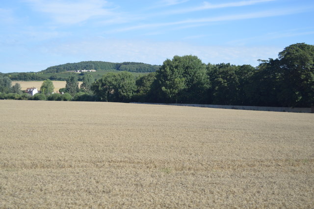
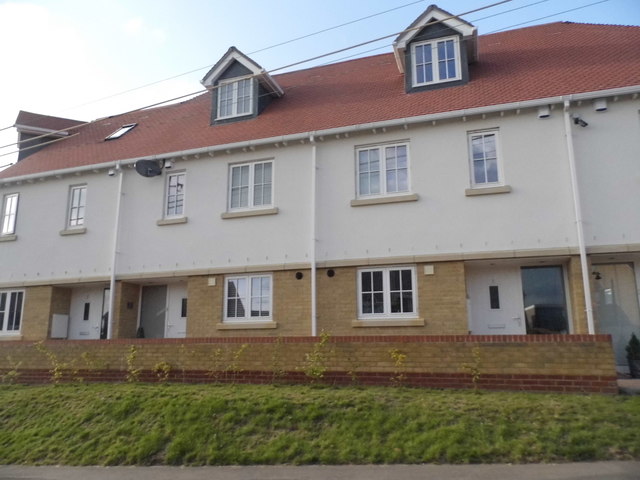
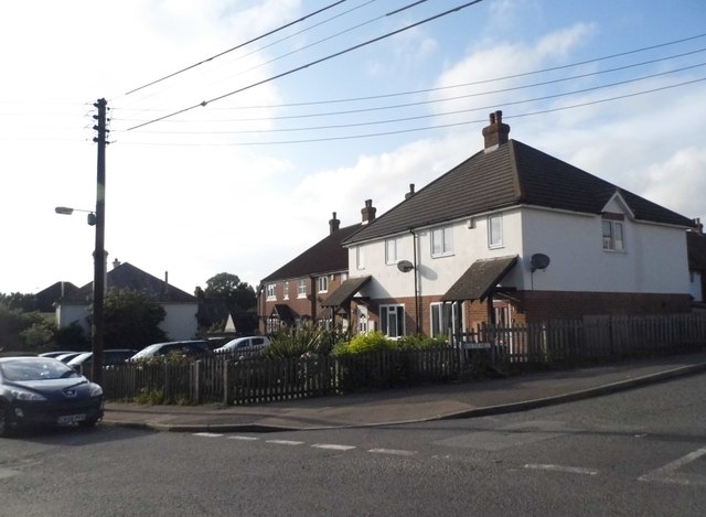
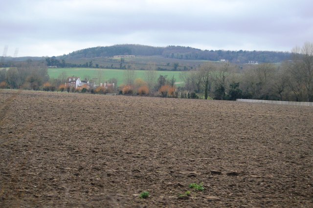
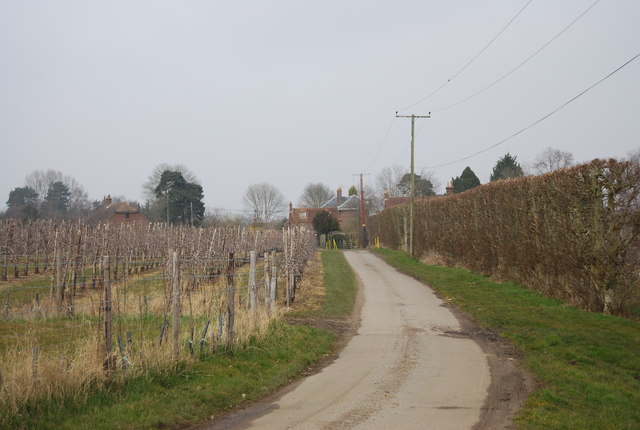
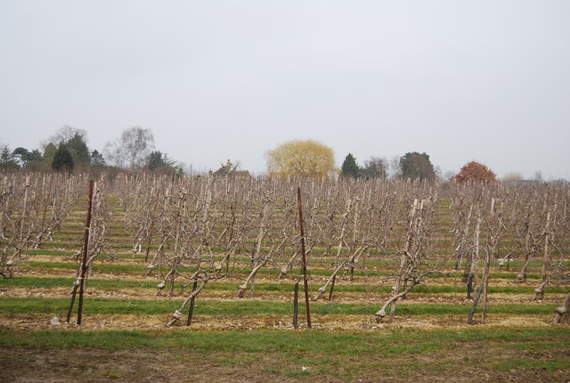
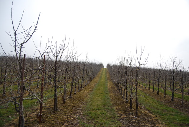
Despite its small size, Horton offers a range of amenities for its residents. These include a primary school, village hall, and a local pub, providing essential services and a gathering place for the community. The village is also surrounded by beautiful countryside, making it an ideal location for outdoor activities such as hiking, cycling, and nature walks.

Overall, Horton is a charming and peaceful village in the heart of Kent, offering a slice of rural life combined with a strong sense of community.

If you have any feedback on the listing, please let us know in the comments section below.
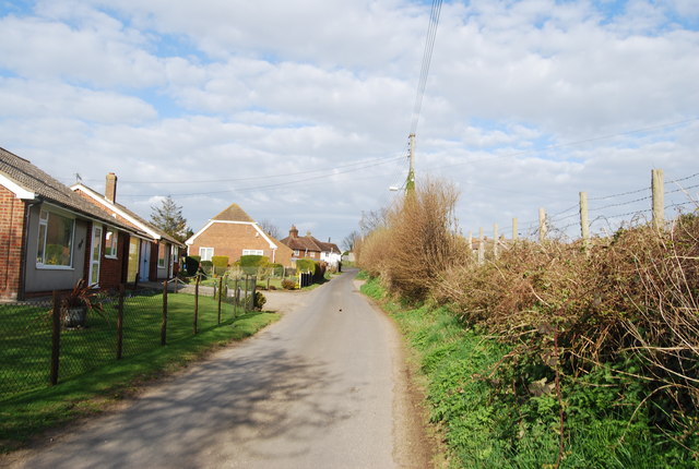
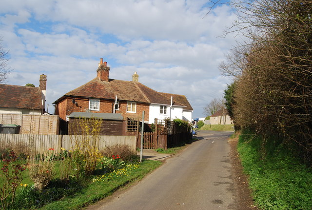
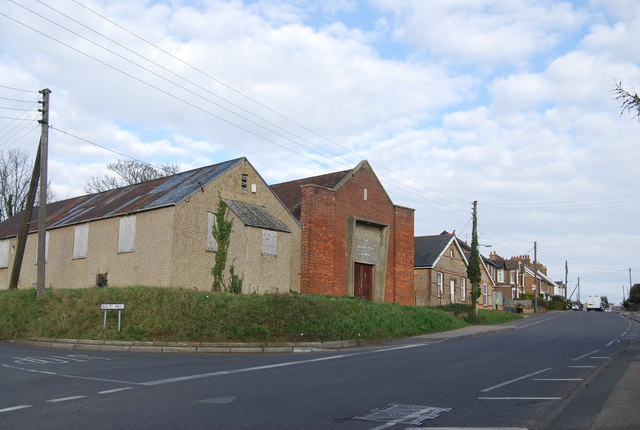
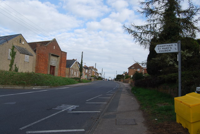
Horton Images

Images are sourced within 2km of 51.25707/1.031216 or Grid Reference TR1155. Thanks to Geograph Open Source API. All images are credited.

Farmland near Shalmsford Street
New houses on Shalmsford Street These were completed around late 2014
New houses on Shalmsford Street
These were completed around late 2014
Shalmsford Street
Shalmsford Street
Field, Shalmsford Street
Bobbin Lodge Hill
Bobbin Lodge Hill
Bobbin Lodge Hill
Bobbin Lodge Hill
Salvation Army Hall, Shalmsford Street The Salvation Army is a Christian charitable organisation organised in a quasi-military structure. The organisation reports worldwide membership of over 1.5 million, consisting of soldiers, officers and adherents known as Salvationists. Its founders William and Catherine Booth sought to bring salvation to the poor, destitute and hungry by meeting both their "physical and spiritual needs".
The Army was founded in 1865 in London by one-time Methodist minister William Booth.
Salvation Army Hall, Shalmsford Street
The Salvation Army is a Christian charitable organisation organised in a quasi-military structure. The organisation reports worldwide membership of over 1.5 million, consisting of soldiers, officers and adherents known as Salvationists. Its founders William and Catherine Booth sought to bring salvation to the poor, destitute and hungry by meeting both their "physical and spiritual needs". The Army was founded in 1865 in London by one-time Methodist minister William Booth.
Shalmsford Street
Shalmsford Street
Shalmsford Street
Shalmsford Street
Bolts Hill
Bolts Hill
Inca Geometric
Inca Geometric
Houses, Bolts Hill
Houses, Bolts Hill
A new house, Bolts Hill
A28 towards Chartham
The North Downs Way A long distance path in southern England. It runs from Farnham to Dover, past Godalming, Guildford, Dorking, Merstham, Otford and Rochester, along the Surrey Hills Area of Outstanding Natural Beauty (AONB) and Kent Downs AONB. East of Boughton Lees, the path splits in two, the northern section running via Canterbury and the southern via Wye. The two sections of the path reunite at Dover. The northern route is 211 km long, and the southern route 201 km, the total length of the North Downs Way being 246 km.
The pathway is mixed in that it varies throughout its length from footpath status to bridleway, byway and road. Some 19% of the Way follows roads, though 75% of those are minor lanes. It is marked by an acorn. See <a href="https://www.geograph.org.uk/photo/1165027">TQ6561 : Crossover in Long Distance pathways</a>.
See <span class="nowrap"><a title="http://www.nationaltrail.co.uk/Northdowns/" rel="nofollow ugc noopener" href="http://www.nationaltrail.co.uk/Northdowns/">Link</a><img style="margin-left:2px;" alt="External link" title="External link - shift click to open in new window" src="https://s1.geograph.org.uk/img/external.png" width="10" height="10"/></span> for more details and an interactive map of the trail.
The North Downs Way
A long distance path in southern England. It runs from Farnham to Dover, past Godalming, Guildford, Dorking, Merstham, Otford and Rochester, along the Surrey Hills Area of Outstanding Natural Beauty (AONB) and Kent Downs AONB. East of Boughton Lees, the path splits in two, the northern section running via Canterbury and the southern via Wye. The two sections of the path reunite at Dover. The northern route is 211 km long, and the southern route 201 km, the total length of the North Downs Way being 246 km. The pathway is mixed in that it varies throughout its length from footpath status to bridleway, byway and road. Some 19% of the Way follows roads, though 75% of those are minor lanes. It is marked by an acorn. See TQ6561 : Crossover in Long Distance pathways. See LinkExternal link for more details and an interactive map of the trail.
Fruit trees
Fruit trees
Rows of trees
Rows of trees
Ashford Road (A28) The A28 is a trunk route in southern England. It starts on the seafront in Margate in Kent and runs south-west via Canterbury, Ashford & Tenterden to the East Sussex resort of Hastings where it joins the A21. 

The A28 forms part of the ring road around the cathedral city of Canterbury.
<span class="nowrap"><a title="http://www.sabre-roads.org.uk/wiki/index.php?title=A28" rel="nofollow ugc noopener" href="http://www.sabre-roads.org.uk/wiki/index.php?title=A28">Link</a><img style="margin-left:2px;" alt="External link" title="External link - shift click to open in new window" src="https://s1.geograph.org.uk/img/external.png" width="10" height="10"/></span>  SABRE
Ashford Road (A28)
The A28 is a trunk route in southern England. It starts on the seafront in Margate in Kent and runs south-west via Canterbury, Ashford & Tenterden to the East Sussex resort of Hastings where it joins the A21. The A28 forms part of the ring road around the cathedral city of Canterbury. LinkExternal link SABRE
Show me another place!

Horton is located at Grid Ref: TR1155 (Lat: 51.25707, Lng: 1.031216)

Administrative County: Kent

District: Canterbury

Police Authority: Kent

What 3 Words

///backswing.spits.fire. Near Chartham, Kent

Nearby Locations

Horton Langdane Wood

Related Wikis

Larkey Valley Wood

Larkey Valley Wood is a 44.1-hectare (109-acre) biological Site of Special Scientific Interest south of Canterbury in Kent. It is also a Local Nature Reserve...

Chartham railway station

Chartham railway station is in Chartham, Kent, on the Ashford to Ramsgate line. The station, and all trains serving it, is operated by Southeastern....

Church of St Mary, Chartham

St Mary's Church is in the village of Chartham, Kent, England. It is an active Anglican parish church in the Diocese of Canterbury. Constructed between...

Chartham

Chartham is a village and civil parish in the Canterbury district of Kent, England. It is situated on the Ashford side of the city, and is in the North...

Nearby Amenities

Located within 500m of 51.25707,1.031216
Barrier: cattle_grid
Lat/Long: 51.2577018/1.0295326
Bench
Backrest: yes
Lat/Long: 51.2574303/1.0282344
Power: pole
Lat/Long: 51.258722/1.0350805
Power: pole
Lat/Long: 51.256041/1.0302018
Power: pole
Lat/Long: 51.2554767/1.029251
Material: wood
Power: pole
Lat/Long: 51.2561938/1.0256786
Material: wood
Power: pole
Lat/Long: 51.2563876/1.0244334
Power: pole
Lat/Long: 51.2581752/1.0341236
Power: pole
Lat/Long: 51.2593451/1.0361875
Power: pole
Lat/Long: 51.2571314/1.0321987
Power: pole
Lat/Long: 51.2558335/1.0273889
Material: wood
Power: pole
Lat/Long: 51.256462/1.0242311
Power: pole
Lat/Long: 51.2576857/1.0331667
Waterway: weir
Lat/Long: 51.2571262/1.0283926
Barrier: cattle_grid
Lat/Long: 51.259734/1.0332412
Power: pole
Lat/Long: 51.2560665/1.0267337
Barrier: cattle_grid
Lat/Long: 51.2598466/1.0334572
Communication Microwave: no
Communication Mobile Phone: yes
Fixme: Double-check exact positon. Remembered approximately.
Man Made: mast
Tower Type: communication
Lat/Long: 51.2610974/1.0315177
Barrier: stile
Lat/Long: 51.256263/1.0298811
Historic: church
Lat/Long: 51.2567182/1.0294613
Barrier: stile
Lat/Long: 51.2588925/1.0347
Barrier: stile
Lat/Long: 51.2589096/1.0347302
Generator Method: photovoltaic
Generator Orientation: 148
Generator Output Electricity: yes
Generator Solar Modules: 5
Generator Source: solar
Generator Type: solar_photovoltaic_panel
Location: roof
Power: generator
Lat/Long: 51.2603967/1.0270648
Material: wood
Power: pole
Lat/Long: 51.2565688/1.0242538
Entrance: exit
Lat/Long: 51.2608172/1.0300991
Entrance: yes
Lat/Long: 51.2605879/1.0304129
The data included in this document is from www.openstreetmap.org. The data is made available under ODbL.

Have you been to Horton?

Leave your review of Horton below (or comments, questions and feedback).