Horton

Settlement in Buckinghamshire

England

Horton

At junction 5 on the M4 eastbound
At junction 5 on the M4 eastbound Credit: Rob Purvis

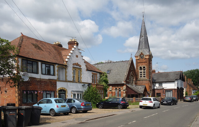
Horton is a small village located in the county of Buckinghamshire, England. Situated approximately 6 miles east of the town of Slough, Horton is nestled in the picturesque countryside and is known for its tranquil and idyllic setting.

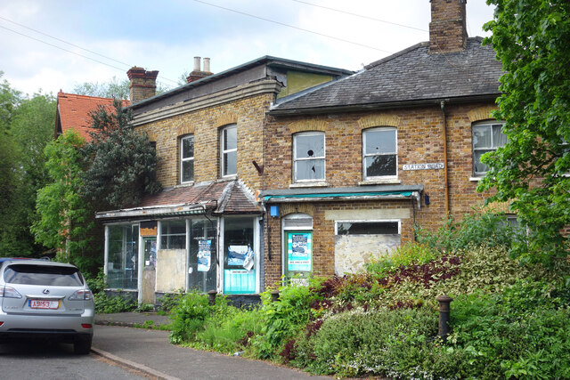
With a population of around 1,000 residents, Horton has a close-knit community feel. The village is characterized by its charming cottages and traditional architecture, giving it a quintessentially English village atmosphere. The surrounding landscape is predominantly agricultural, with rolling fields and meadows stretching as far as the eye can see.

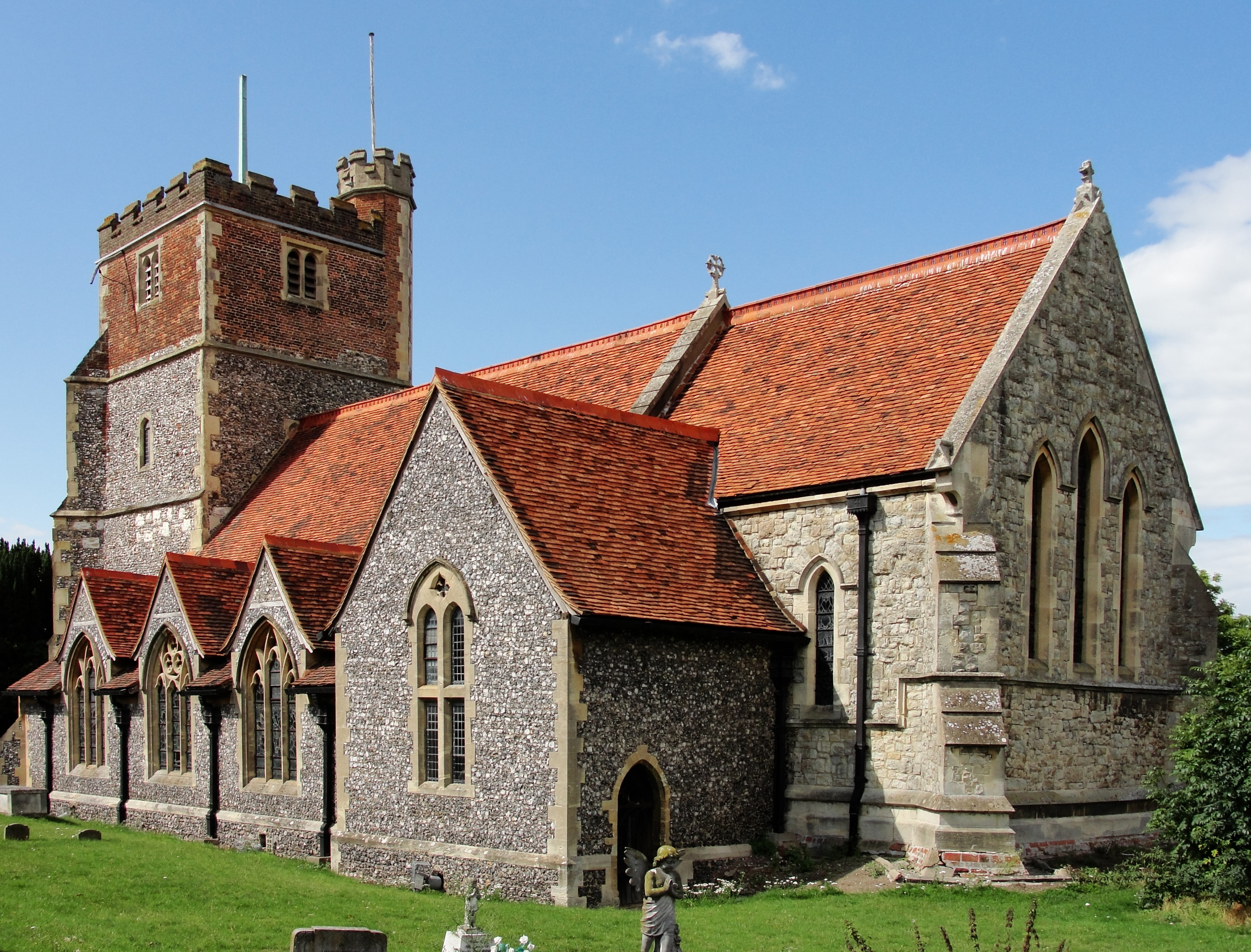
One of the notable landmarks in Horton is the St. Michael and All Angels Church, a beautiful and historic building that dates back to the 12th century. The church is known for its stunning stained glass windows and is a popular destination for both locals and tourists.

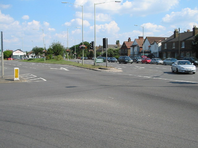
Despite its small size, Horton benefits from good transportation links. The M4 motorway is easily accessible, providing convenient access to nearby towns and cities. The village also has a regular bus service, connecting residents to nearby areas.

In terms of amenities, Horton has a community hall that serves as a social hub for various events and gatherings. There is also a local pub, offering a cozy and welcoming atmosphere for residents and visitors alike.

Overall, Horton offers a peaceful and charming place to live, with its picturesque surroundings and strong sense of community. It is an ideal location for those seeking a quiet countryside retreat while still having access to nearby urban centers.

If you have any feedback on the listing, please let us know in the comments section below.
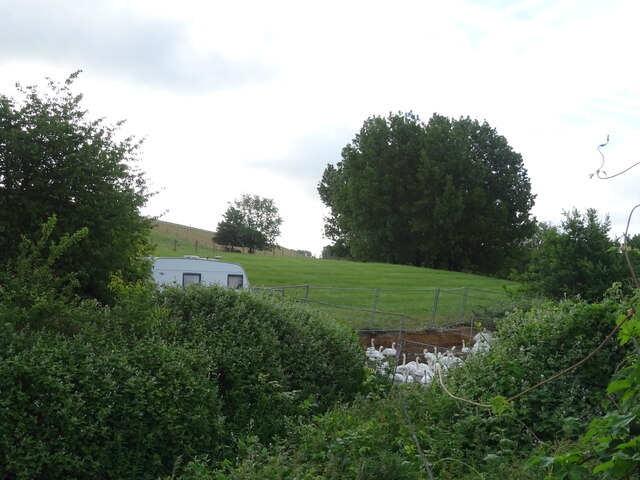
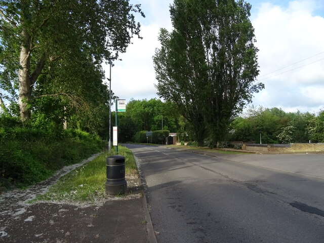
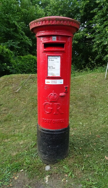
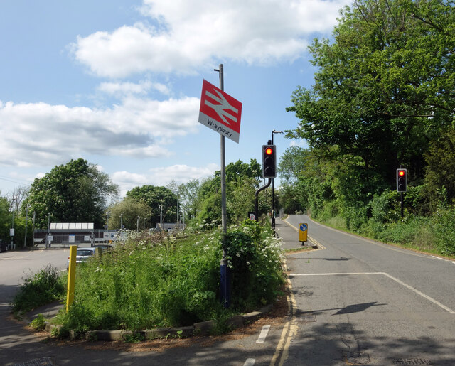
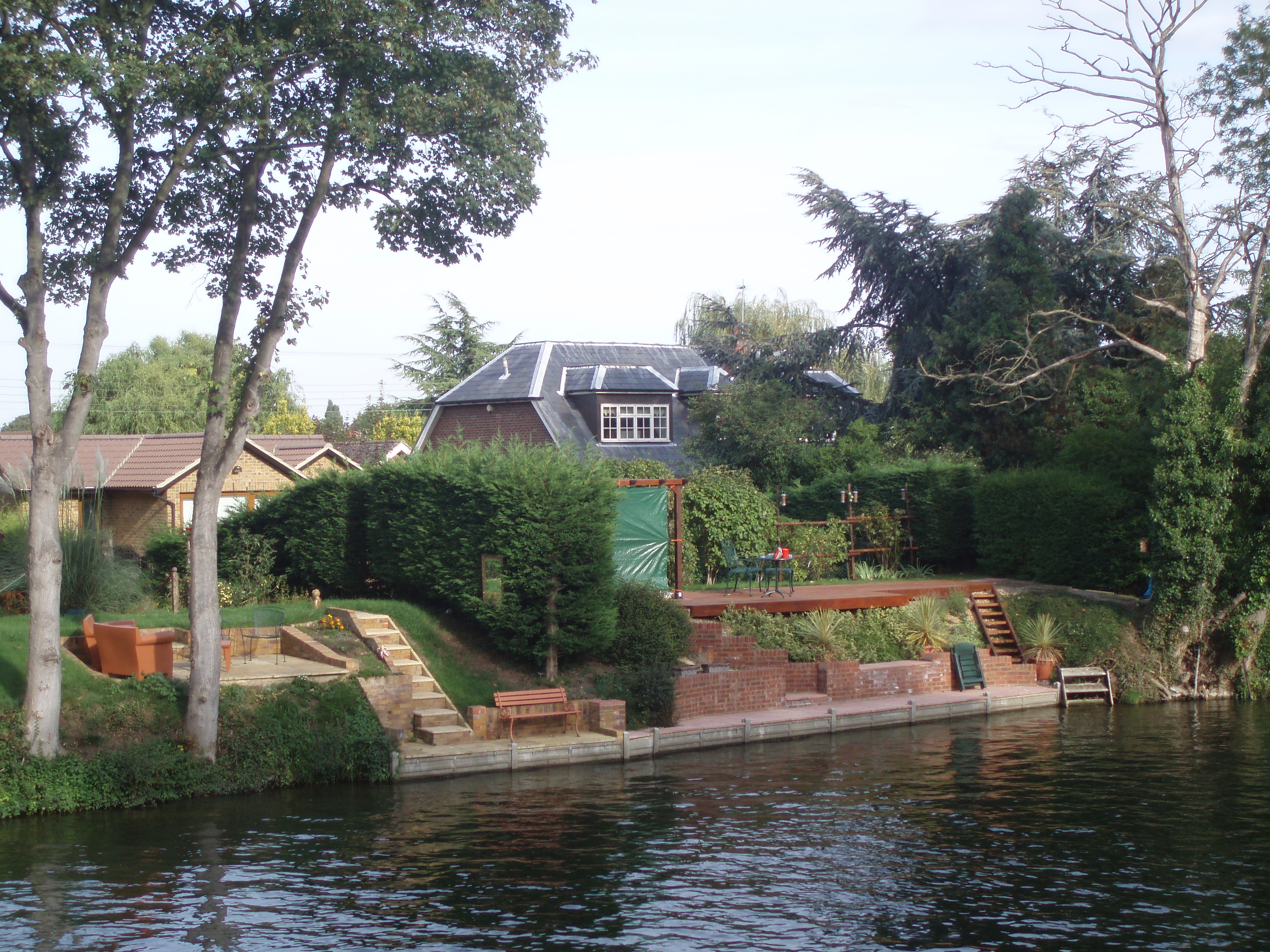
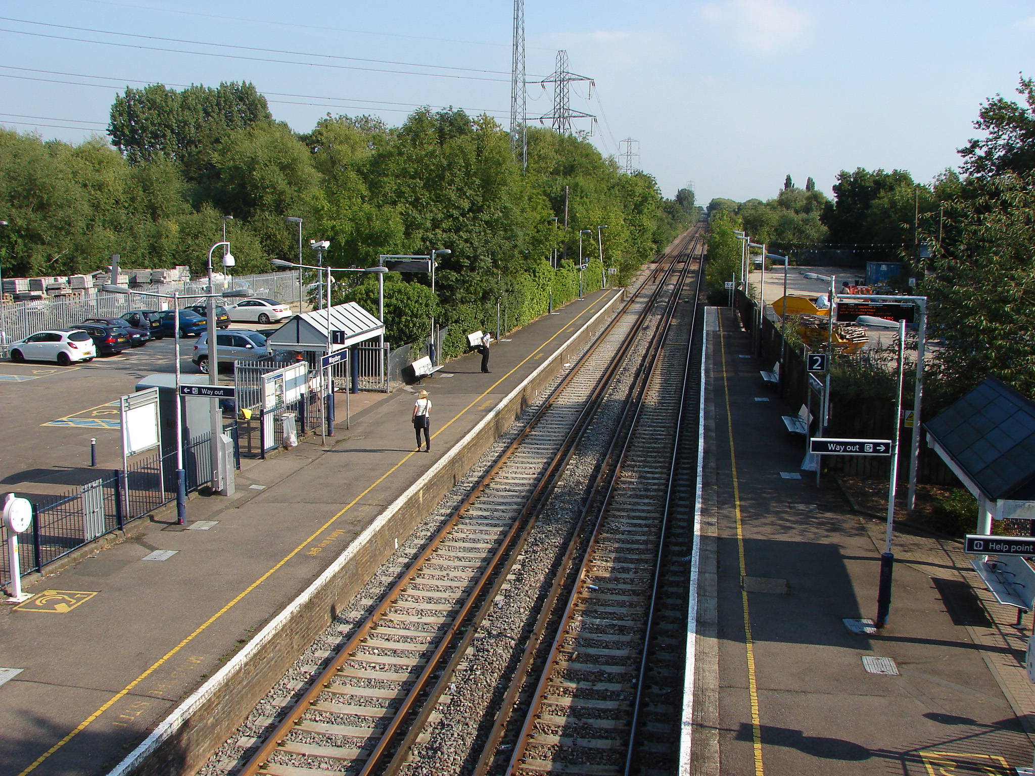
Horton Images

Images are sourced within 2km of 51.473272/-0.54263522 or Grid Reference TQ0175. Thanks to Geograph Open Source API. All images are credited.

At junction 5 on the M4 eastbound
Temporary buildings near the Queen Mother Reservoir
Swans and grassland near the Queen Mother Reservoir
Horton Road (B376) Beside the Queen Mother Reservoir.
Horton Road (B376)
Beside the Queen Mother Reservoir.
Chinese restaurant on Welley Road
Bus stop on Welley Road (B376)
Businesses on Welley Road
Reeds Service Station On Welley Road.
Reeds Service Station
On Welley Road.
Gated road off Welley Road
George V postbox on Welley Road, Sunnymeads Postbox No. TW189 608.
George V postbox on Welley Road, Sunnymeads
Postbox No. TW189 608.
Elizabeth II postbox on Welley Road, Wraysbury Postbox No. TW189 609.
Elizabeth II postbox on Welley Road, Wraysbury
Postbox No. TW189 609.
The Colne Brook at Wraysbury The Colne Brook is part of the very complicated set of waterways which make up the River Colne.  As a distributary, it takes a substantial part of the flow to join the Thames upstream of the Colne itself. 
For most of its course the Colne consists of a maze of millstreams, diversions, and alternative rivers, plus a flow in and out of the Grand Union Canal.  Add reservoirs and gravel pits to the picture and it's not always easy to know which bit of the river you are dealing with.
A diagram on <span class="nowrap"><a title="https://en.wikipedia.org/wiki/Colne_Brook" rel="nofollow ugc noopener" href="https://en.wikipedia.org/wiki/Colne_Brook">Link</a><img style="margin-left:2px;" alt="External link" title="External link - shift click to open in new window" src="https://s1.geograph.org.uk/img/external.png" width="10" height="10"/></span> attempts to make sense of it.
The Colne Brook at Wraysbury
The Colne Brook is part of the very complicated set of waterways which make up the River Colne. As a distributary, it takes a substantial part of the flow to join the Thames upstream of the Colne itself. For most of its course the Colne consists of a maze of millstreams, diversions, and alternative rivers, plus a flow in and out of the Grand Union Canal. Add reservoirs and gravel pits to the picture and it's not always easy to know which bit of the river you are dealing with. A diagram on LinkExternal link attempts to make sense of it.
Bridge at Wraysbury Station The road bridge is single file with traffic lights. The reason is probably because it doubles as the over bridge between the station platforms so a safe walkway has to be provided.
Bridge at Wraysbury Station
The road bridge is single file with traffic lights. The reason is probably because it doubles as the over bridge between the station platforms so a safe walkway has to be provided.
Railway Bridge over the Colne Brook The line crosses the river on a low bridge in the middle of a damp and wooded area.
Railway Bridge over the Colne Brook
The line crosses the river on a low bridge in the middle of a damp and wooded area.
Victorian Buildings, Wraysbury High Street An eye catching set of buildings from the 19th century in Wraysbury village.
The Baptist Church dates from 1862, while the gabled terrace in the foreground is later. It has a stone above the central window which has the unusual inscription "189 2/8" I can only guess it took six years to build and somebody wanted that recorded.
Victorian Buildings, Wraysbury High Street
An eye catching set of buildings from the 19th century in Wraysbury village. The Baptist Church dates from 1862, while the gabled terrace in the foreground is later. It has a stone above the central window which has the unusual inscription "189 2/8" I can only guess it took six years to build and somebody wanted that recorded.
Derelict Shops, Station Road With property prices round here, these places would be worth a lot if they were done up. Instead, they seem to be heading for dereliction.
Derelict Shops, Station Road
With property prices round here, these places would be worth a lot if they were done up. Instead, they seem to be heading for dereliction.
Colne Brook Taken from side of Toad Hall house.
Colne Brook
Taken from side of Toad Hall house.
Houses next to Colne Brook
Show me another place!

Horton is located at Grid Ref: TQ0175 (Lat: 51.473272, Lng: -0.54263522)

Unitary Authority: Windsor and Maidenhead

Police Authority: Thames Valley

What 3 Words

///laser.leap.arena. Near Horton, Berkshire

Nearby Locations

Horton

Related Wikis

Horton, Berkshire

Horton is a village and civil parish in Berkshire, England. It is between Windsor and Staines-upon-Thames. == History and etymology == The village name...

Brands Hill

Brands Hill is a village in Berkshire, England. It is just on the outskirts of Colnbrook on the Bath Rd adjacent to the Langley junction of the M4 motorway...

Arthur Jacob Nature Reserve

Arthur Jacob Nature Reserve is a 4.1-hectare (10-acre) Local Nature Reserve in Horton in Berkshire. It is owned and managed by the Royal Borough of Windsor...

Queen Mother Reservoir

The Queen Mother Reservoir is a public water supply reservoir that lies between the M4 and the M25 to the west of London, close to Datchet. It is 475 acres...

Sunnymeads railway station

Sunnymeads railway station serves the once separate village of Sunnymeads in Berkshire, England, now subsumed by the neighbouring village of Wraysbury...

Wraysbury No 1 Gravel Pit

Wraysbury No 1 Gravel Pit is a 58.0-hectare (143-acre) biological Site of Special Scientific Interest in Wraysbury in Berkshire. It is part of South West...

Ham Island

Ham Island is an inhabited man-made island of roughly 50 hectares (125 acres) in the River Thames in Old Windsor in England. It was a mature meander of...

Wraysbury railway station

Wraysbury railway station serves the village of Wraysbury in Berkshire, England, as well as the larger villages of Stanwell Moor and Poyle. It is 21 miles...

Nearby Amenities

Located within 500m of 51.473272,-0.54263522
Horton
Place: village
Wikidata: Q2738696
Wikipedia: en:Horton, Berkshire
Lat/Long: 51.4734303/-0.5430428
Traffic Calming: hump
Lat/Long: 51.4725945/-0.5369641
Traffic Calming: hump
Lat/Long: 51.4729044/-0.5396484
Traffic Calming: hump
Lat/Long: 51.4729504/-0.540967
Traffic Calming: cushion
Lat/Long: 51.4731984/-0.5422903
Bus Stop
Village Hall
Bus: yes
Naptan AtcoCode: 036006001197
Naptan Bearing: W
Naptan BusStopType: CUS
Naptan CommonName: Village Hall
Naptan Indicator: opp
Naptan Landmark: Milton Close
Naptan NaptanCode: winadgd
Naptan Street: Stanwell Road
Naptan Verified: no
Public Transport: platform
Shelter: no
Source: naptan_import
Lat/Long: 51.4731311/-0.5422314
Bus Stop
Village Hall
Naptan AtcoCode: 036006002197
Naptan Bearing: E
Naptan CommonName: Village Hall
Naptan Indicator: o/s
Naptan Landmark: Milton Close
Naptan NaptanCode: winatag
Naptan Street: Stanwell Road
Naptan Verified: no
Public Transport: platform
Source: naptan_import
Lat/Long: 51.4732024/-0.5420295
Bus Stop
Village Green
Bus: yes
Naptan AtcoCode: 036006003197
Naptan Bearing: S
Naptan BusStopType: CUS
Naptan CommonName: Village Green
Naptan Indicator: S-bound
Naptan Landmark: Pickins Piece
Naptan NaptanCode: winagmt
Naptan Notes: School Journey only
Naptan Street: Horton Road
Naptan Verified: no
Public Transport: platform
Shelter: no
Source: naptan_import
Lat/Long: 51.473989/-0.5432135
Bus Stop
Village Green
Naptan AtcoCode: 036006004197
Naptan Bearing: N
Naptan BusStopType: CUS
Naptan CommonName: Village Green
Naptan Indicator: N-bound
Naptan Landmark: Pickins Piece
Naptan NaptanCode: winagpd
Naptan Street: Horton Road
Naptan Verified: no
Public Transport: platform
Source: naptan_import
Lat/Long: 51.4739721/-0.5433894
Direction: 105
Generator Method: photovoltaic
Generator Output Electricity: yes
Generator Solar Modules: 8
Generator Source: solar
Generator Type: solar_photovoltaic_panel
Location: roof
Power: generator
Lat/Long: 51.4726823/-0.5418921
Direction: 285
Generator Method: photovoltaic
Generator Output Electricity: yes
Generator Solar Modules: 6
Generator Source: solar
Generator Type: solar_photovoltaic_panel
Location: roof
Power: generator
Lat/Long: 51.4726929/-0.541952
Turning Circle
Lat/Long: 51.4722944/-0.5417137
Barrier: yes
Lat/Long: 51.4727217/-0.5417101
Direction: 195
Generator Method: photovoltaic
Generator Output Electricity: yes
Generator Solar Modules: 8
Generator Source: solar
Generator Type: solar_photovoltaic_panel
Location: roof
Power: generator
Lat/Long: 51.4739521/-0.5422423
Direction: 195
Generator Method: photovoltaic
Generator Output Electricity: yes
Generator Solar Modules: 8
Generator Source: solar
Generator Type: solar_photovoltaic_panel
Location: roof
Power: generator
Lat/Long: 51.473951/-0.5420697
Direction: 195
Generator Method: photovoltaic
Generator Output Electricity: yes
Generator Solar Modules: 8
Generator Source: solar
Generator Type: solar_photovoltaic_panel
Location: roof
Power: generator
Lat/Long: 51.4739494/-0.5419838
Direction: 195
Generator Method: photovoltaic
Generator Output Electricity: yes
Generator Solar Modules: 8
Generator Source: solar
Generator Type: solar_photovoltaic_panel
Location: roof
Power: generator
Lat/Long: 51.4738304/-0.541826
Direction: 200
Generator Method: photovoltaic
Generator Output Electricity: yes
Generator Solar Modules: 20
Generator Source: solar
Generator Type: solar_photovoltaic_panel
Location: roof
Power: generator
Lat/Long: 51.4725567/-0.537609
The data included in this document is from www.openstreetmap.org. The data is made available under ODbL.

Have you been to Horton?

Leave your review of Horton below (or comments, questions and feedback).