Beacon Hill Plantation

Wood, Forest in Suffolk Mid Suffolk

England

Beacon Hill Plantation

Fields of ripe barley near Hanging Grove Looking north-east along the bridleway that leads past Hanging Grove towards Coddenham Row.
Fields of ripe barley near Hanging Grove Credit: Simon Mortimer

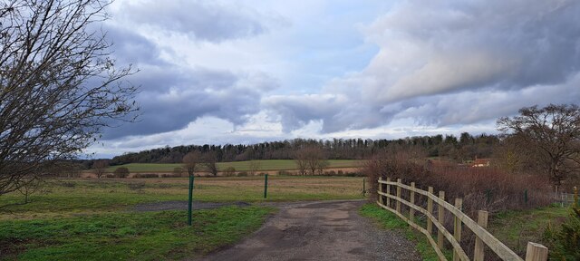
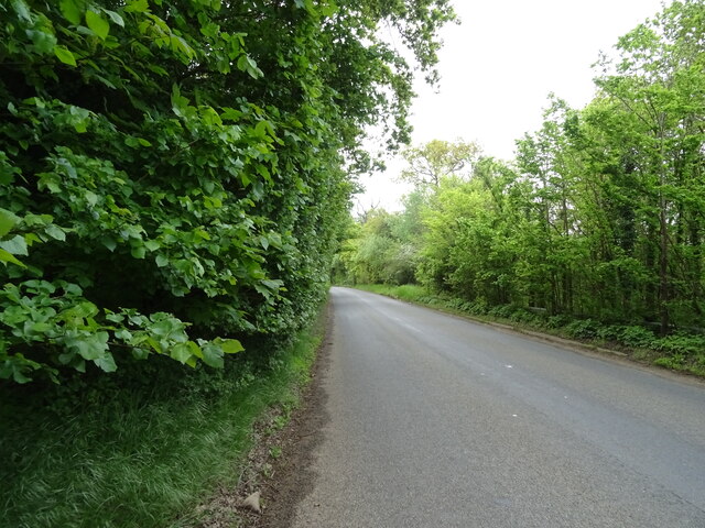
Beacon Hill Plantation, located in Suffolk County, is a beautiful and expansive woodland area known for its stunning natural beauty and rich history. The plantation covers a vast area, encompassing dense forests, rolling hills, and picturesque meadows. It is a popular destination for nature lovers, hikers, and history enthusiasts alike.

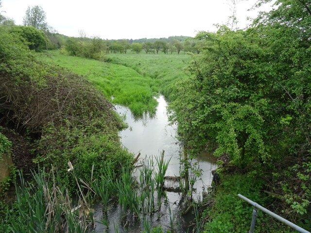
The plantation is characterized by its diverse ecosystem, with a wide variety of plant and animal species calling it home. Towering oak and pine trees dominate the landscape, providing a tranquil and serene atmosphere. The forest floor is covered in a thick carpet of ferns, wildflowers, and moss, creating a vibrant and colorful scene.

One of the most prominent features of Beacon Hill Plantation is its namesake beacon, which stands atop a hill and offers panoramic views of the surrounding countryside. The beacon has been an important landmark for centuries, serving as a navigational aid for sailors and a warning signal during times of danger.

In addition to its natural beauty, Beacon Hill Plantation also has a rich historical significance. The area has been inhabited for thousands of years and has seen the rise and fall of various civilizations. Archaeological excavations have uncovered artifacts dating back to the Neolithic period, shedding light on the early human settlements in the area.

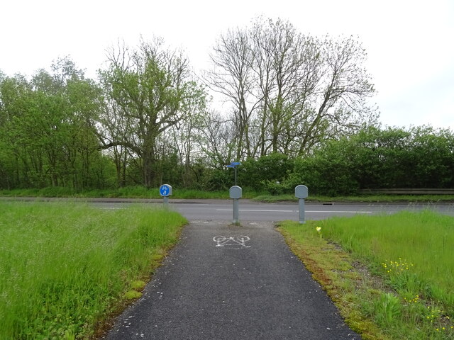
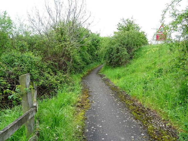
Today, Beacon Hill Plantation is a protected area, managed by the Suffolk County Parks and Recreation Department. It offers a range of recreational activities, including hiking trails, birdwatching, and picnicking. Visitors can also learn about the plantation's history through guided tours and educational programs.

If you have any feedback on the listing, please let us know in the comments section below.

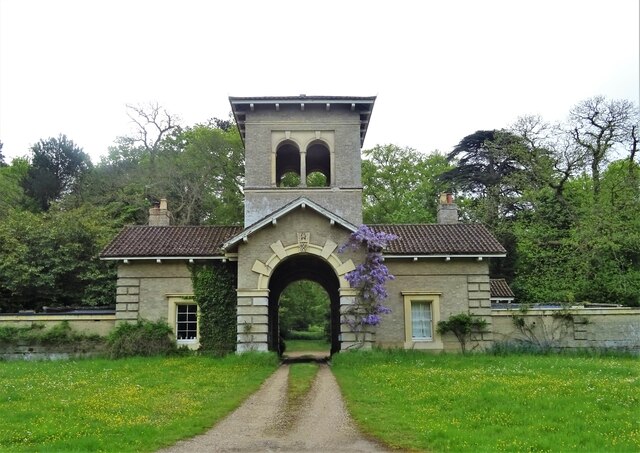
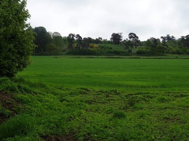
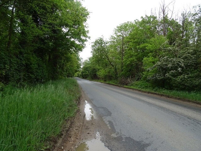
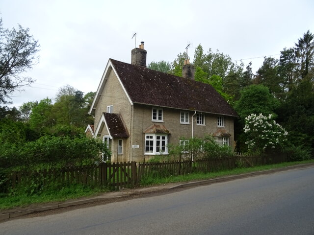
Beacon Hill Plantation Images

Images are sourced within 2km of 52.145056/1.0885566 or Grid Reference TM1154. Thanks to Geograph Open Source API. All images are credited.

Fields of ripe barley near Hanging Grove Looking north-east along the bridleway that leads past Hanging Grove towards Coddenham Row.
Fields of ripe barley near Hanging Grove
Looking north-east along the bridleway that leads past Hanging Grove towards Coddenham Row.
Beacon Hill services Looking from the petrol station back along the entrance road; the motel is among trees to the left.
Beacon Hill services
Looking from the petrol station back along the entrance road; the motel is among trees to the left.
Beacon Hill services Looking from the petrol station back towards a small restaurant (the logos of Burger King and Greggs can just be made out) tucked inside the access road loop.
Beacon Hill services
Looking from the petrol station back towards a small restaurant (the logos of Burger King and Greggs can just be made out) tucked inside the access road loop.
Coddenham, St Mary
Coddenham, St Mary
A14 West approaching junction 51
A140 north at turning for B1078
A140 north at turning for Coddenham Green
Church of St Mary at Coddenham Seen here from the SW. The church dates primarily from the 14th & 15th century, the tower being of similar age, although there are parts of the north chancel walls which are 11th or 12th. The interior roof is a particularly fine example of a double hammerbeam construction, and there are many other interesting relics of medieval age inside. The whole church was Grade I listed <span class="nowrap"><a title="https://britishlistedbuildings.co.uk/101033267-church-of-st-mary-coddenham#.Y7XgvnbP3IU" rel="nofollow ugc noopener" href="https://britishlistedbuildings.co.uk/101033267-church-of-st-mary-coddenham#.Y7XgvnbP3IU">Link</a><img style="margin-left:2px;" alt="External link" title="External link - shift click to open in new window" src="https://s1.geograph.org.uk/img/external.png" width="10" height="10"/></span> & <span class="nowrap"><a title="https://historicengland.org.uk/listing/the-list/list-entry/1033267" rel="nofollow ugc noopener" href="https://historicengland.org.uk/listing/the-list/list-entry/1033267">Link</a><img style="margin-left:2px;" alt="External link" title="External link - shift click to open in new window" src="https://s1.geograph.org.uk/img/external.png" width="10" height="10"/></span> in 1955.
Church of St Mary at Coddenham
Seen here from the SW. The church dates primarily from the 14th & 15th century, the tower being of similar age, although there are parts of the north chancel walls which are 11th or 12th. The interior roof is a particularly fine example of a double hammerbeam construction, and there are many other interesting relics of medieval age inside. The whole church was Grade I listed LinkExternal link & LinkExternal link in 1955.
OS benchmark, St Mary's church in Coddenham An OS cutmark at the base of the church tower, which was last levelled by the OS in 1971 at 32.394m above Ordnance Datum Newlyn.
OS benchmark, St Mary's church in Coddenham
An OS cutmark at the base of the church tower, which was last levelled by the OS in 1971 at 32.394m above Ordnance Datum Newlyn.
Valley west of Coddenham Taken from the end of the drive to Vicarage Farm.
Valley west of Coddenham
Taken from the end of the drive to Vicarage Farm.
National Cycle Route 51 Crossing the busy A140.
National Cycle Route 51
Crossing the busy A140.
Tributary of the River Gipping
National Cycle Route 51 Beside the A140 towards Ipswich.
National Cycle Route 51
Beside the A140 towards Ipswich.
Gatehouse to Shrubland Park
Farmland, Shrubland Park
National Cycle Route 51 towards Ipswich
Nursery Cottages Beside National Cycle Route 51.
Nursery Cottages
Beside National Cycle Route 51.
National Cycle Route 51 towards Ipswich
Show me another place!

Beacon Hill Plantation is located at Grid Ref: TM1154 (Lat: 52.145056, Lng: 1.0885566)

Administrative County: Suffolk

District: Mid Suffolk

Police Authority: Suffolk

What 3 Words

///revisits.obey.meanwhile. Near Needham Market, Suffolk

Related Wikis

Bosmere and Claydon Hundred

Bosmere and Claydon was a hundred of Suffolk, consisting of 31,850 acres (128.9 km2).The hundred is a fertile and picturesque district varying from 8 to...

Darmsden

Darmsden is a hamlet and civil parish in the Mid Suffolk district of Suffolk, England. Located near the A14 road around 2 kilometres (1 mi) south of the...

Bosmere and Claydon Rural District

Bosmere and Claydon Rural District was a rural district within the administrative county of East Suffolk between 1894 and 1934. It was created out of the...

Shrubland Hall Anglo-Saxon cemetery

Shrubland Hall Anglo-Saxon cemetery is a 7th-century Anglo-Saxon burial site discovered at Shrubland Hall Quarry near Coddenham, Suffolk. The cemetery...

Baylham

Baylham is a village and civil parish, 1,349 acres size, in the Mid Suffolk district of Suffolk, England, about 7 miles (11 km) northwest of Ipswich and...

Shrubland Hall

Shrubland Hall, Coddenham, Suffolk, is a historic English country house with planned gardens in Suffolk, England, built in the 1770s. The Hall was used...
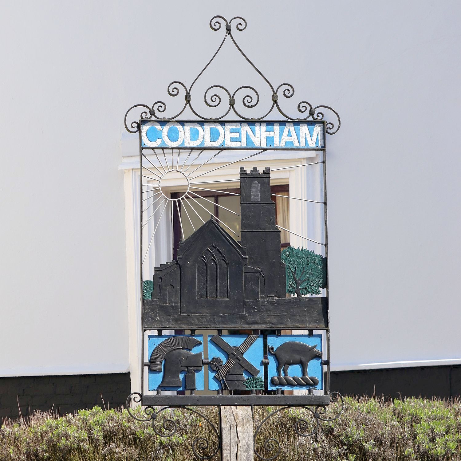
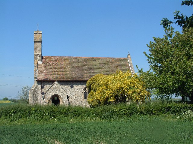
Coddenham

Coddenham is a village and civil parish in the Mid Suffolk district of Suffolk in eastern England. Located to the north of the A14 road, 8 miles north...

Needham Lake

Needham Lake is a 9.9 hectare Local Nature Reserve in Needham Market in Suffolk. It is owned and managed by Mid Suffolk District Council. It is a Regionally...

Nearby Amenities

Located within 500m of 52.145056,1.0885566
Bus Stop
Pipps Ford
Bus: yes
Naptan AtcoCode: 390040529
Naptan Bearing: S
Naptan BusStopType: CUS
Naptan CommonName: Pipps Ford
Naptan Indicator: opp
Naptan Landmark: Pipps Ford
Naptan NaptanCode: sufgajap
Naptan Street: Old Barham Hill
Naptan Verified: no
Public Transport: platform
Source: naptan_import
Lat/Long: 52.1461649/1.0824181
The data included in this document is from www.openstreetmap.org. The data is made available under ODbL.

Have you been to Beacon Hill Plantation?

Leave your review of Beacon Hill Plantation below (or comments, questions and feedback).