Keeble's Grove

Wood, Forest in Suffolk Babergh

England

Keeble's Grove

Brantham church The Church of St Michael and All Angels is a grade II*(star) listed building. Medieval with extensive 19th century rebuilding and restorations.
Brantham church Credit: Robin Webster

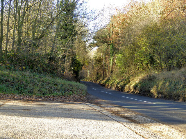
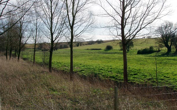
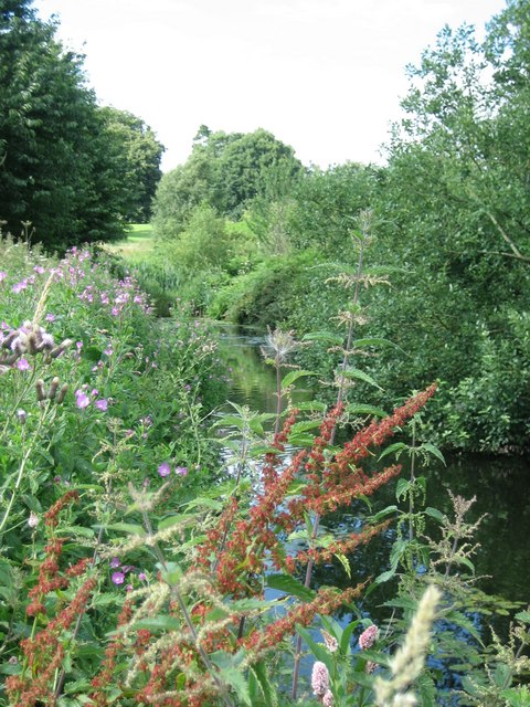
Keeble's Grove is a picturesque woodland located in the rural county of Suffolk, England. Stretching over an expansive area of land, the grove is renowned for its natural beauty and tranquil atmosphere. The site is characterized by its dense canopy of trees, which primarily consist of oak, beech, and chestnut varieties.

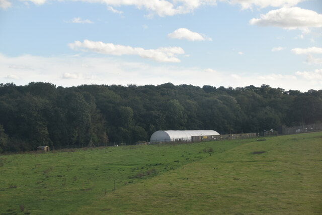
The woodland boasts a rich ecosystem, teeming with diverse flora and fauna. The forest floor is adorned with a lush carpet of mosses, ferns, and wildflowers, creating a vibrant tapestry of colors. Visitors can also spot various species of birds, squirrels, and rabbits that call Keeble's Grove their home.

The grove is intersected by several well-maintained trails, allowing visitors to explore its enchanting surroundings. These paths wind through the forest, leading to hidden clearings and babbling brooks. One of the highlights of the grove is a small, serene pond, where visitors can sit and observe the reflections of the surrounding trees dancing on the water's surface.

Keeble's Grove is a popular destination for nature enthusiasts, hikers, and photographers. It offers a peaceful retreat away from the hustle and bustle of modern life, providing an opportunity to reconnect with nature. The grove's natural beauty changes with the seasons, making it a captivating place to visit throughout the year.

Visitors to Keeble's Grove are encouraged to respect and preserve its natural environment. The grove is managed by the local authorities, ensuring its protection and sustainability for future generations to enjoy.

If you have any feedback on the listing, please let us know in the comments section below.

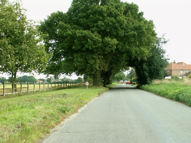
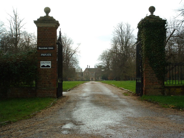
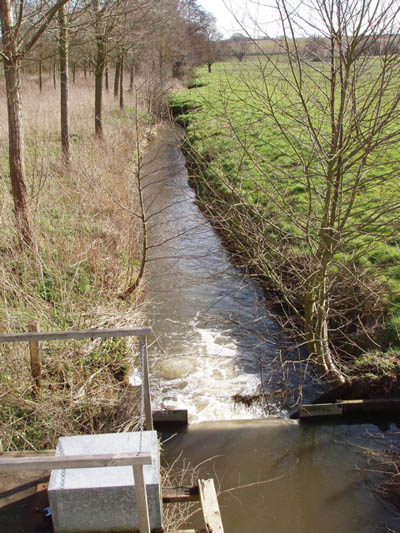
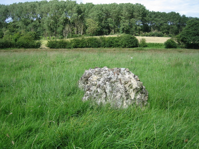
Keeble's Grove Images

Images are sourced within 2km of 51.973791/1.0767279 or Grid Reference TM1135. Thanks to Geograph Open Source API. All images are credited.

Brantham church The Church of St Michael and All Angels is a grade II*(star) listed building. Medieval with extensive 19th century rebuilding and restorations.
Brantham church
The Church of St Michael and All Angels is a grade II*(star) listed building. Medieval with extensive 19th century rebuilding and restorations.
Gargoyle, Brantham church tower Draining the tower roof at the SW corner.
Gargoyle, Brantham church tower
Draining the tower roof at the SW corner.
Gargoyle, Brantham church tower Draining the tower roof at the NW corner.
Gargoyle, Brantham church tower
Draining the tower roof at the NW corner.
St. Michael's Pre-school, Brantham Mapped as an 'Institute'.
St. Michael's Pre-school, Brantham
Mapped as an 'Institute'.
Station Road towards Bentley
Lower Meadows Farm
Lower Meadows Farm
Farmland by the Stour Estuary
Sewage works
Sewage works
The Case is Altered, Public House, Bentley,  Suffolk When the post office in Bentley closed, a Post Office was opened here.
The Case is Altered, Public House, Bentley, Suffolk
When the post office in Bentley closed, a Post Office was opened here.
War Memorial at Bentley Suffolk Recently attended by pupils of the local Primary School Bentley.
War Memorial at Bentley Suffolk
Recently attended by pupils of the local Primary School Bentley.
St. Michael's church, Brantham, Suffolk This church dates back to the 14th century but a lot rebuilding took place during the 19th century restoration. The picture also shows the lychgate by E. S. Prior.
St. Michael's church, Brantham, Suffolk
This church dates back to the 14th century but a lot rebuilding took place during the 19th century restoration. The picture also shows the lychgate by E. S. Prior.
Slough Road, Brantham, Suffolk
The Bull The Bull public house Brantham suffolk.
The Bull
The Bull public house Brantham suffolk.
Brantham Court Brantham Court Brantham Suffolk.
Brantham Court
Brantham Court Brantham Suffolk.
Stream and weir from Brantham Bridge on the A137 Showing the stream in full flow after a long spell of wet weather
Stream and weir from Brantham Bridge on the A137
Showing the stream in full flow after a long spell of wet weather
Willow plantation and fields near Brantham Bridge
Last Remains of Dodnash C12th Priory by footpath Beside the footpath from East End, East Bergholt to Dodnash Wood (seen in background), you pass the last remaining lump of stones from the twelfth century Augustinian Priory that existed on this spot.  Continue up the hill and through the wood for a rewarding ramble
Last Remains of Dodnash C12th Priory by footpath
Beside the footpath from East End, East Bergholt to Dodnash Wood (seen in background), you pass the last remaining lump of stones from the twelfth century Augustinian Priory that existed on this spot. Continue up the hill and through the wood for a rewarding ramble
Pond beside footpath from Bentley to Brantham Nettles, dock and thistles are among the wild plants surrounding this pond in a boggy area of the footpath south of Dodnash Priory Farm. Press on and the walk is rewarding!
Pond beside footpath from Bentley to Brantham
Nettles, dock and thistles are among the wild plants surrounding this pond in a boggy area of the footpath south of Dodnash Priory Farm. Press on and the walk is rewarding!
Show me another place!

Keeble's Grove is located at Grid Ref: TM1135 (Lat: 51.973791, Lng: 1.0767279)

Administrative County: Suffolk

District: Babergh

Police Authority: Suffolk

What 3 Words

///vented.tape.reactions. Near Manningtree, Essex

Related Wikis

Brantham

Brantham is a village and civil parish in the Babergh district of Suffolk, England. It is located close to the River Stour and the border with Essex, around...

Dodnash Priory

Dodnash Priory was a small Augustinian priory located in Bentley, Suffolk, England, near the village's boundary with East Bergholt. It was situated close...

Bentley railway station (Suffolk)

Bentley railway station, also known as Bentley Junction between 1849 and 1878, was located in Bentley, Suffolk on the Great Eastern Main Line. It opened...

Bentley, Suffolk

Bentley is a village and civil parish in the Babergh district of Suffolk, England, about 6 miles (10 km) southwest of Ipswich. The 2011 Census recorded...

Samford Rural District

Samford Rural District was a rural district within the administrative county of East Suffolk between 1894 and 1974. It was created out of the earlier Samford...

Brantham Athletic F.C.

Brantham Athletic Football Club is a football club based in Brantham, Suffolk, England. They are currently members of the Eastern Counties League Premier...

Cattawade Marshes

Cattawade Marshes is an 88.2-hectare (218-acre) biological Site of Special Scientific Interest between East Bergholt and Manningtree in Essex and Suffolk...

Tattingstone Wonder

The Tattingstone Wonder is a folly at Tattingstone in Suffolk, England. Located some 6 miles (9.7 km) south of Ipswich the Tattingstone Wonder was originally...

Nearby Amenities

Located within 500m of 51.973791,1.0767279
Communication Mobile Phone: yes
Man Made: mast
Tower Construction: lattice
Tower Type: communication
Lat/Long: 51.970484/1.0800091
Communication Mobile Phone: yes
Man Made: mast
Tower Type: communication
Lat/Long: 51.9702695/1.0803387
Leisure: playground
Lat/Long: 51.9707394/1.0727938
The data included in this document is from www.openstreetmap.org. The data is made available under ODbL.

Have you been to Keeble's Grove?

Leave your review of Keeble's Grove below (or comments, questions and feedback).