Little Charles New Plantation
Wood, Forest in Suffolk Babergh
England
Little Charles New Plantation
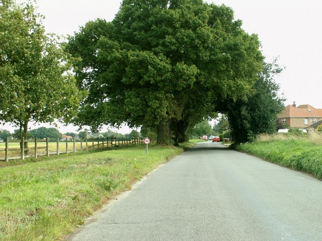
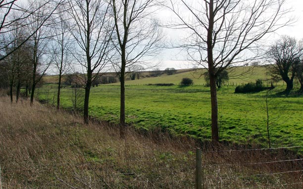
Little Charles New Plantation, Suffolk, also known as the Wood or Forest, is a picturesque area located in the county of Suffolk, England. Covering an expansive area of land, it is characterized by its dense woodland and lush greenery, offering a tranquil and serene environment for visitors.
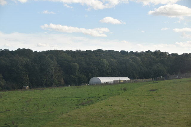
The plantation is home to a diverse range of tree species, including oak, beech, and birch trees, creating a rich and vibrant ecosystem. The dense canopy provides ample shade, making it an ideal location for nature enthusiasts and hikers seeking refuge from the summer sun. The forest floor is adorned with a variety of wildflowers and ferns, adding to the natural beauty of the area.
Little Charles New Plantation is also a thriving habitat for numerous wildlife species. Birdwatchers can spot various avian species, such as woodpeckers, robins, and owls, while small mammals like squirrels and rabbits can be seen scurrying through the undergrowth. The plantation is also home to deer, which can occasionally be spotted grazing in the open meadows.
Visitors to the plantation can enjoy a range of outdoor activities, including walking, cycling, and picnicking. There are well-maintained trails and paths that wind through the woods, offering opportunities for exploration and discovery. The peaceful ambience and natural beauty make it an ideal spot for relaxation and rejuvenation.
Little Charles New Plantation, Suffolk, is a hidden gem for nature lovers, offering a delightful escape from the hustle and bustle of city life. Its stunning woodland, diverse wildlife, and inviting atmosphere make it a must-visit destination for those seeking a connection with nature.
If you have any feedback on the listing, please let us know in the comments section below.
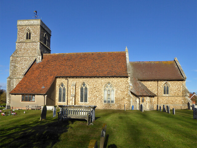
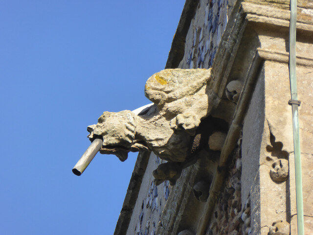
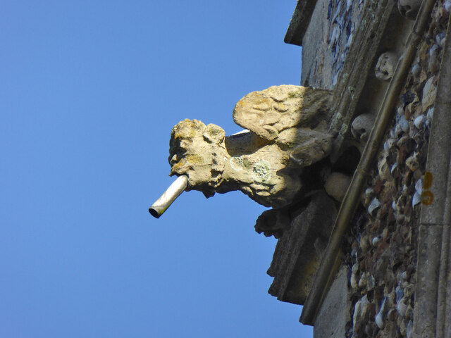
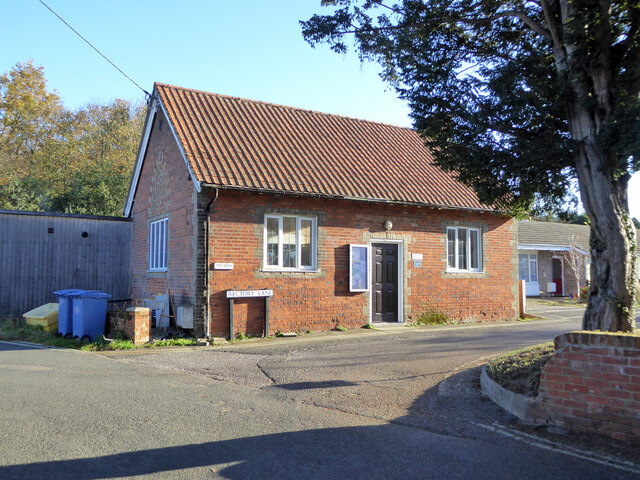
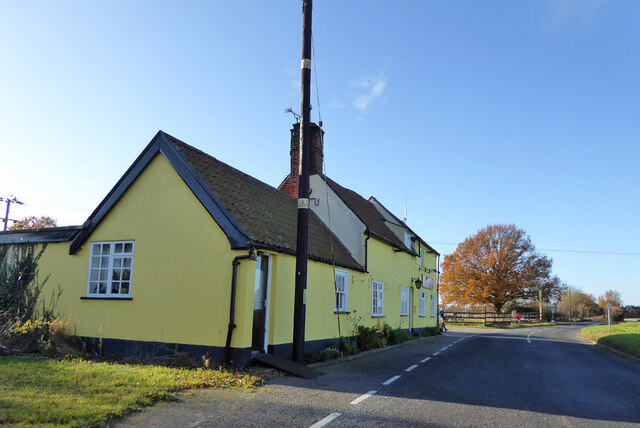
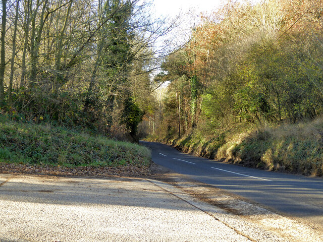
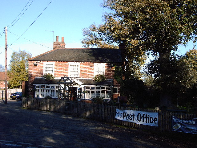
Little Charles New Plantation Images
Images are sourced within 2km of 51.979038/1.0762429 or Grid Reference TM1135. Thanks to Geograph Open Source API. All images are credited.

Little Charles New Plantation is located at Grid Ref: TM1135 (Lat: 51.979038, Lng: 1.0762429)
Administrative County: Suffolk
District: Babergh
Police Authority: Suffolk
What 3 Words
///grand.help.diets. Near Capel St Mary, Suffolk
Nearby Locations
Related Wikis

Dodnash Priory
Dodnash Priory was a small Augustinian priory located in Bentley, Suffolk, England, near the village's boundary with East Bergholt. It was situated close...

Bentley railway station (Suffolk)
Bentley railway station, also known as Bentley Junction between 1849 and 1878, was located in Bentley, Suffolk on the Great Eastern Main Line. It opened...

Bentley, Suffolk
Bentley is a village and civil parish in the Babergh district of Suffolk, England, about 6 miles (10 km) southwest of Ipswich. The 2011 Census recorded...
Brantham
Brantham is a village and civil parish in the Babergh district of Suffolk, England. It is located close to the River Stour and the border with Essex, around...

Samford Rural District
Samford Rural District was a rural district within the administrative county of East Suffolk between 1894 and 1974. It was created out of the earlier Samford...

Tattingstone
Tattingstone is a village and civil parish in Suffolk, England. It is situated on the Shotley peninsula, about 5 miles (8 km) south of Ipswich. The 2011...
Tattingstone Wonder
The Tattingstone Wonder is a folly at Tattingstone in Suffolk, England. Located some 6 miles (9.7 km) south of Ipswich the Tattingstone Wonder was originally...

Brantham Athletic F.C.
Brantham Athletic Football Club is a football club based in Brantham, Suffolk, England. They are currently members of the Eastern Counties League Premier...
Nearby Amenities
Located within 500m of 51.979038,1.0762429Have you been to Little Charles New Plantation?
Leave your review of Little Charles New Plantation below (or comments, questions and feedback).